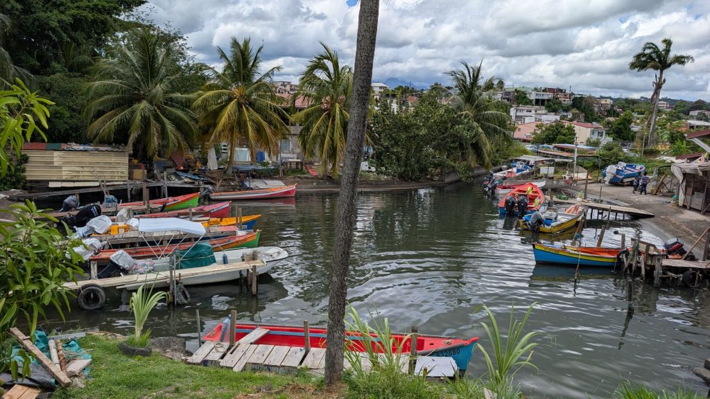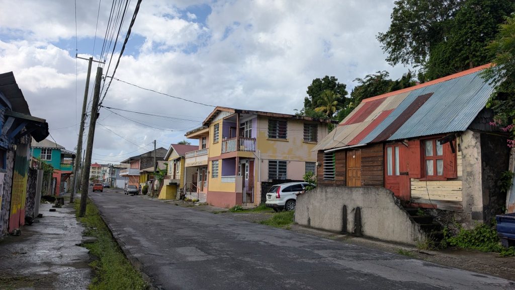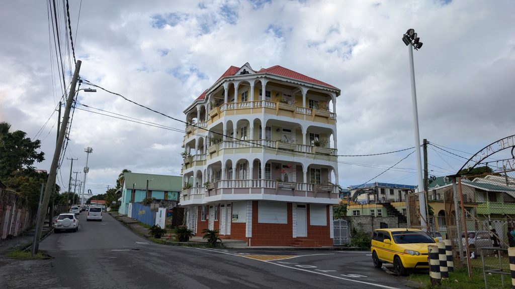
Caroline and I had a girls’ day on the 23rd. We decided to hike the Canal de Beauregard. From AllTrails:
“4.5-mile out-and-back trail near Fonds-Saint-Denis, Saint-Pierre. Generally considered a moderately challenging route, it takes an average of 2 h 7 min to complete. Highlights include stunning views and a pleasant ambiance along the canal. Challenges are narrow paths and vertigo risk.”
Info from https://azmartinique.com/:
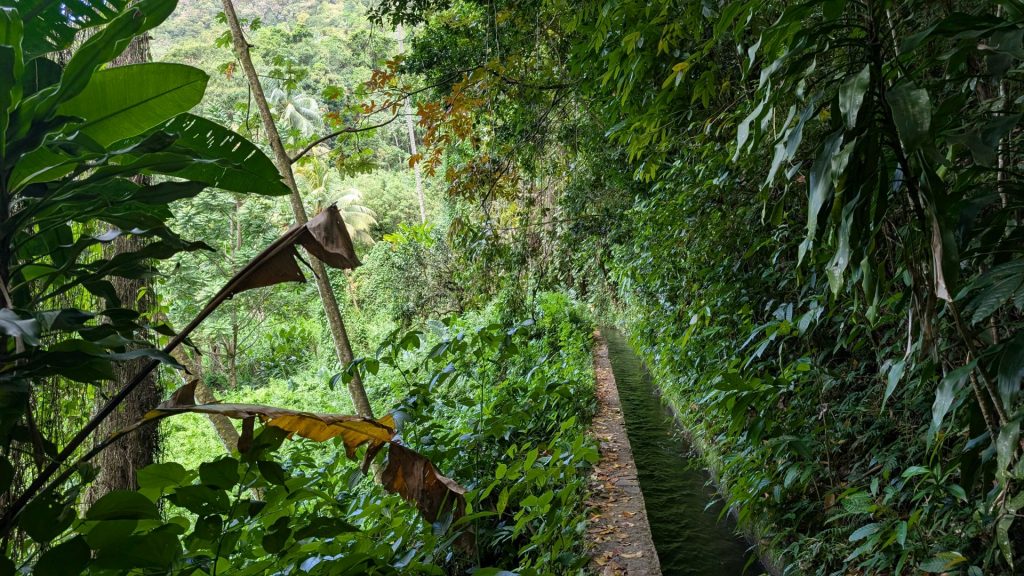
Built in 1760, it owes its name “Canal de Beauregard” to the man who conceived it, Mr. Beauregard. It was subsequently appointed “Canal des Esclaves” to honor the men who carried on their backs stone for its construction.
It was once a vestige of the economic life of the 18th century. Its main purpose was to supplement traditional energy sources. It was also used to carry water from the river Carbet to the houses of the Caribbean Coast and to irrigate crops.
The hike is not recommended for those prone to vertigo, as the coping (cemented band) of the channel is only 30 cm wide in some places and it overlooks ravines over 100 meters deep.
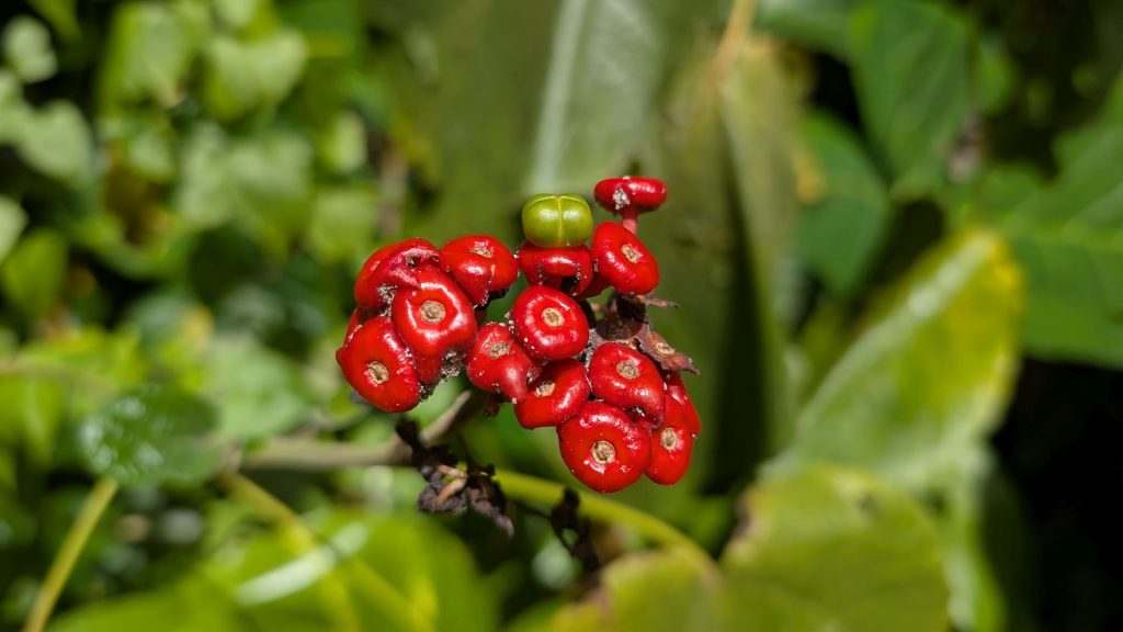
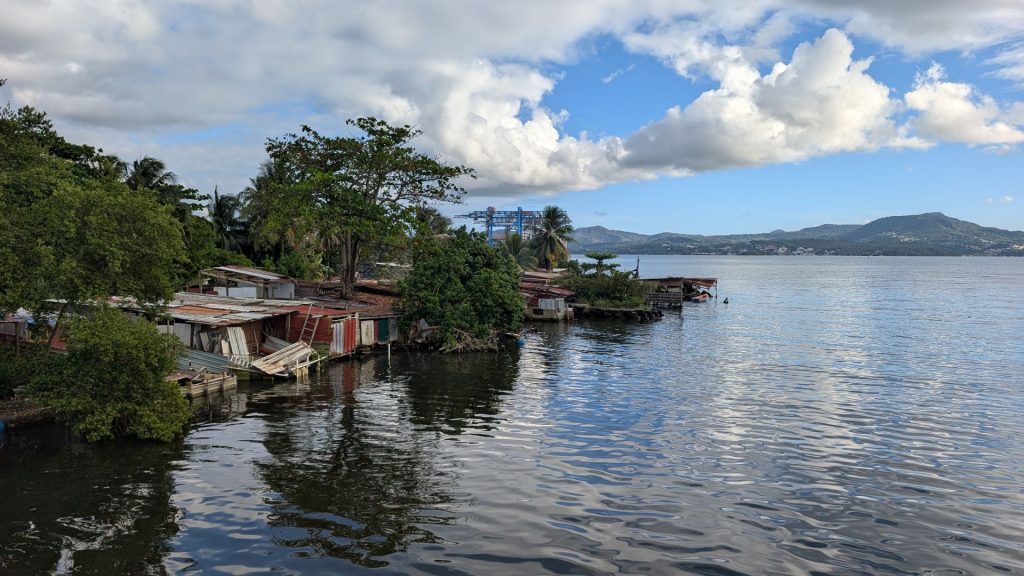
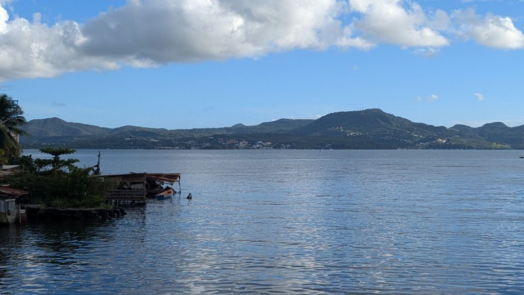
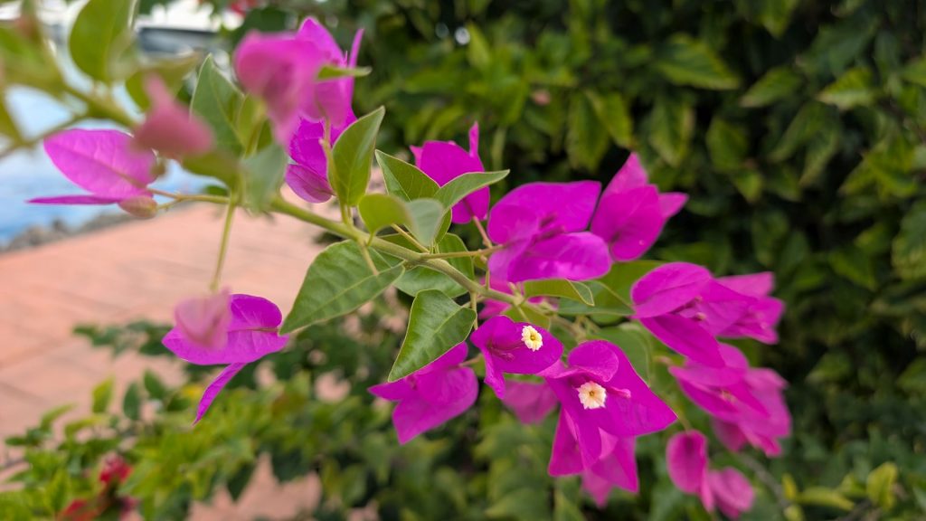
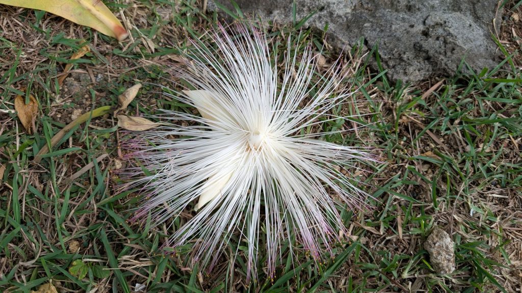
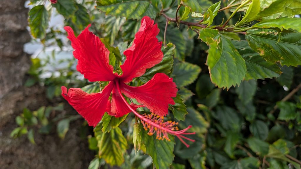
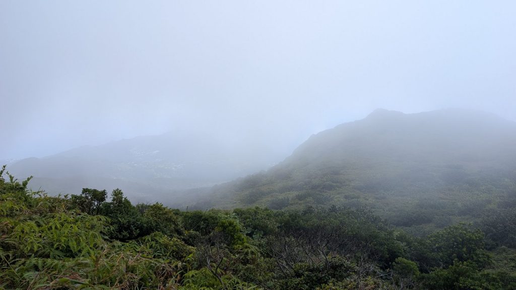
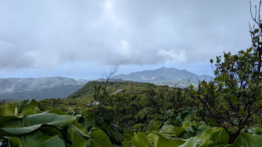
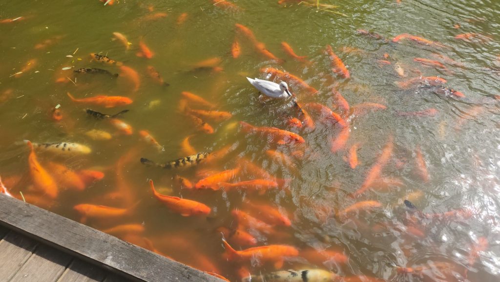
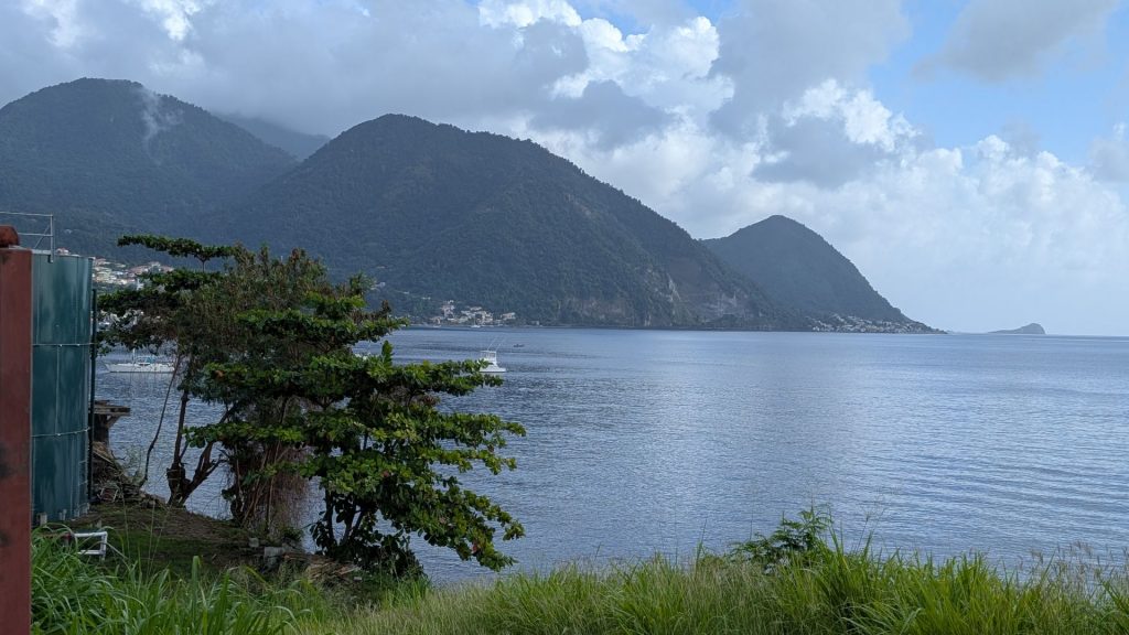
Here are some pictures of the path, the canal and views along the way: