These two days were dedicated to hiking. The four of us had two paces, which meant that we didn’t hike the entire route together either day. But it also meant that each of us had a hiking partner, so it worked out swell.
February 16: La Soufriere Volcano
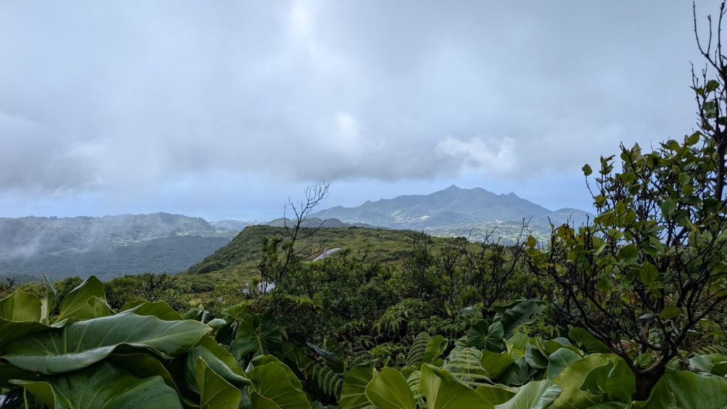
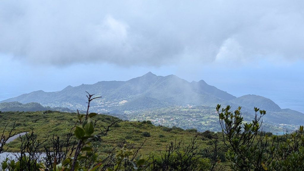
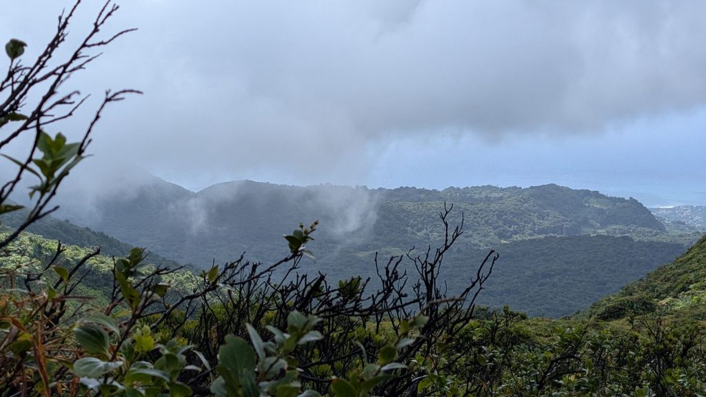
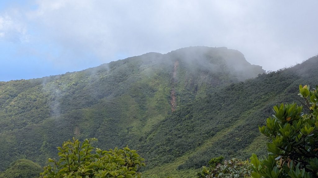
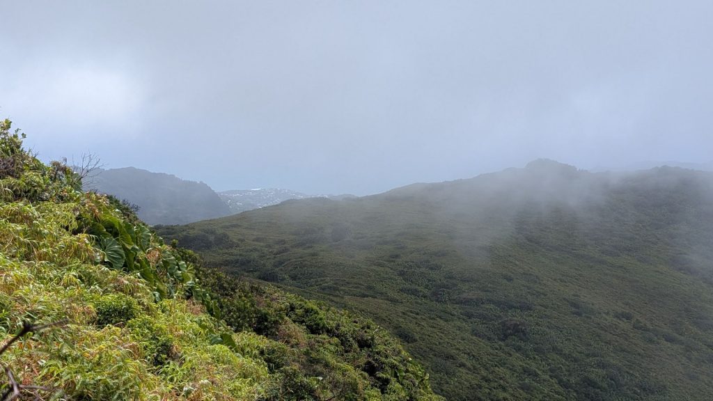
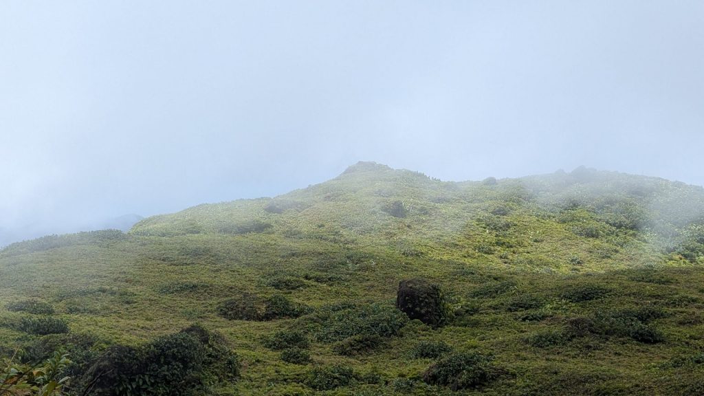
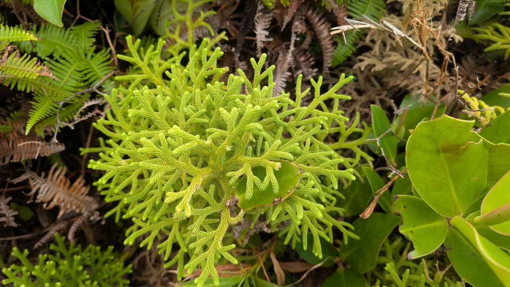
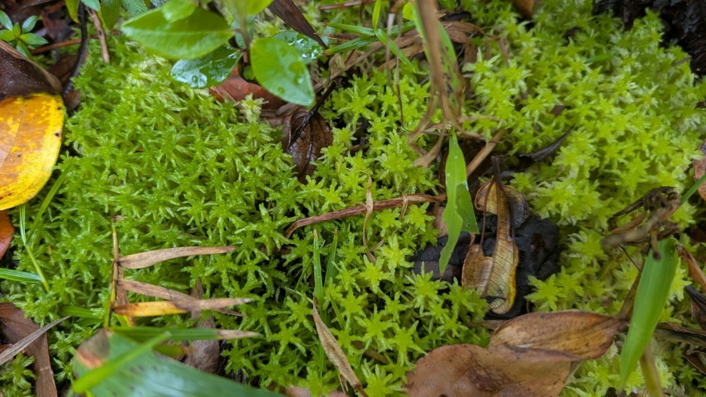
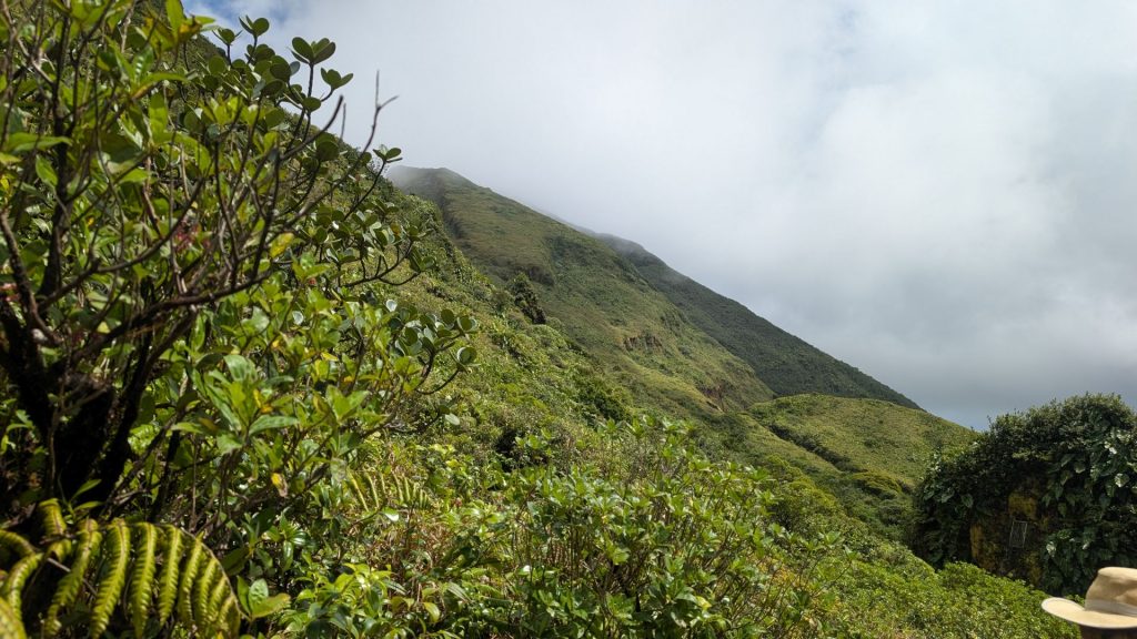
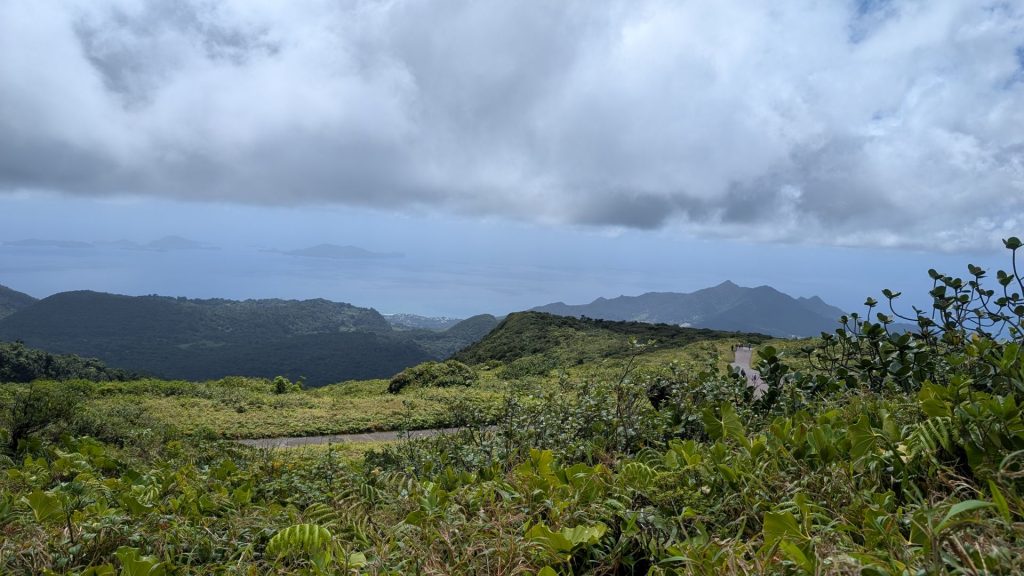
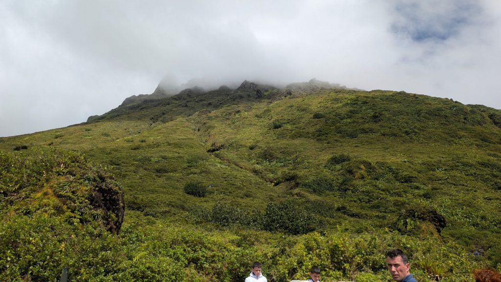
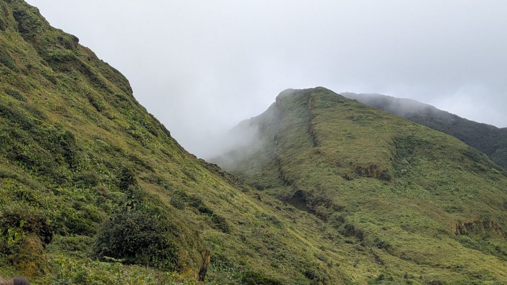
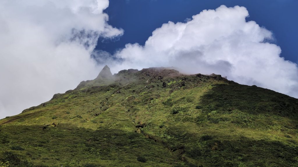
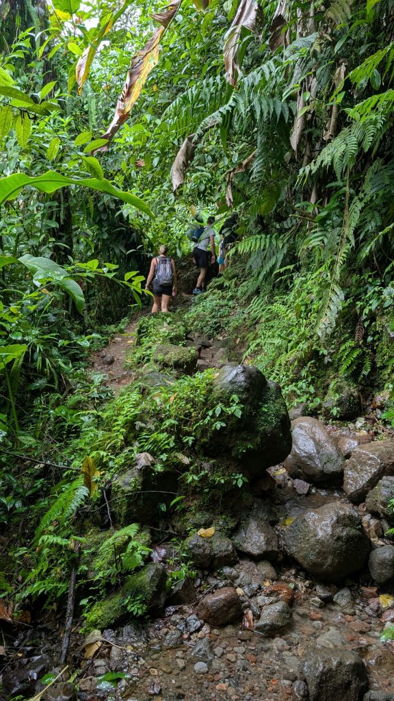
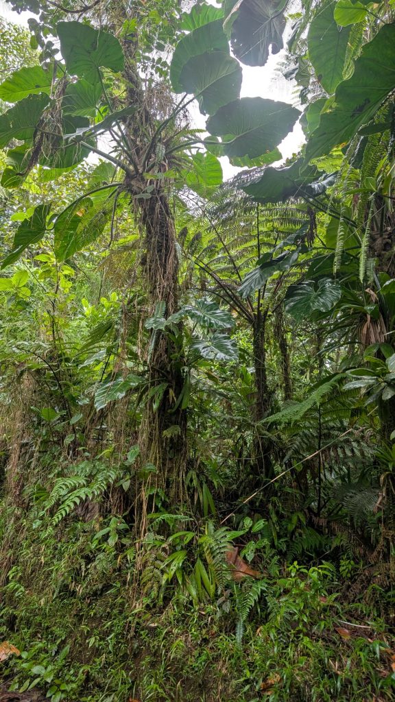
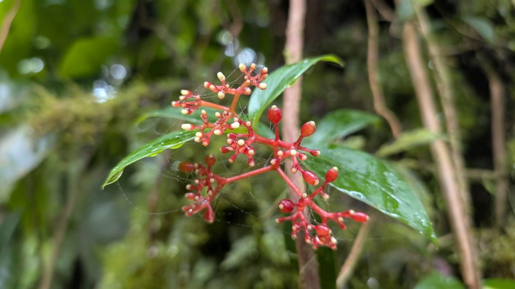
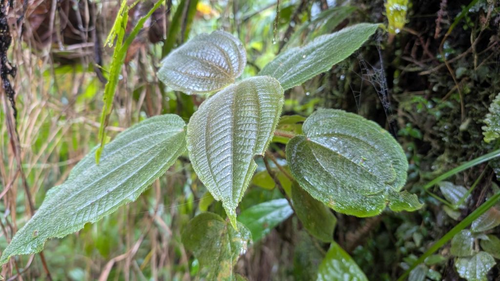
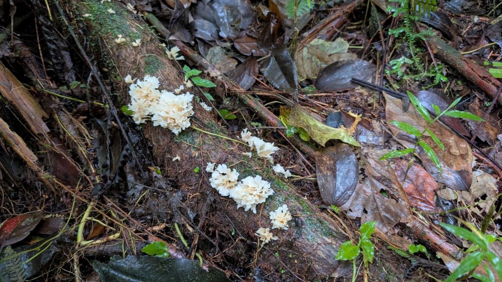
Today’s hike was to and up the volcano. Sitting at more than 4,800 feet – the highest point in the Lesser Antilles – La Soufriere Volcano is often referred to as “la vieille dame” (the old lady) by locals. This active volcano (the last eruption occurred in 1976) is located in the southern part of the island’s national park on Basse-Terre. The path to the summit is well-marked. Along the way, you see all sorts of flora and fauna. It is said that it takes two hours to hike the quickest route.
I like this note (I don’t recall where I found it):
“The route to the summit will take at least two hours of your time and the journey will start with a car ride up through the lush green forest road until you reach a car park at 950 metres altitude. From there you’ll have to continue on foot for another half an hour until you reach the foothills of the volcano—this is where your surroundings will begin to change. As you get closer to the summit, you’ll feel as if you’re in Jurassic Park with all the volcanic gasses and the smell of the sulphurous vapours. But, peculiar smells aside, the view from the summit combined with the strong wind blowing through your hair is undoubtedly stunning. Adventure seekers, add this hike to your list of things to do in Guadeloupe.”
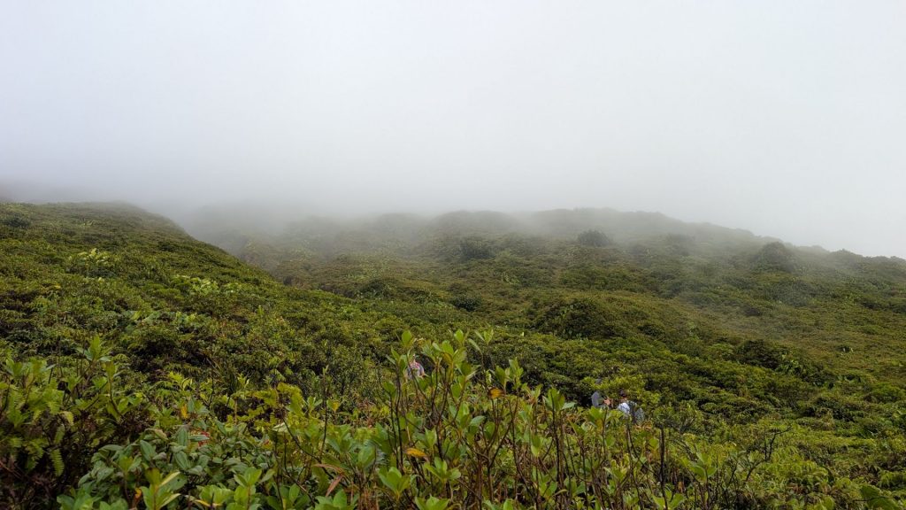
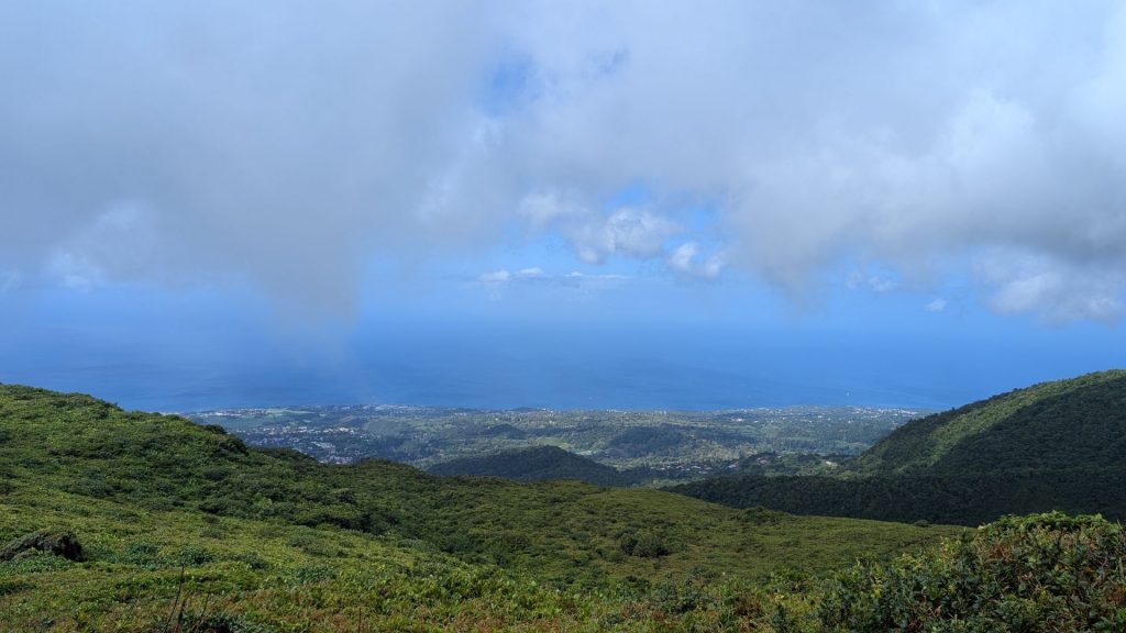
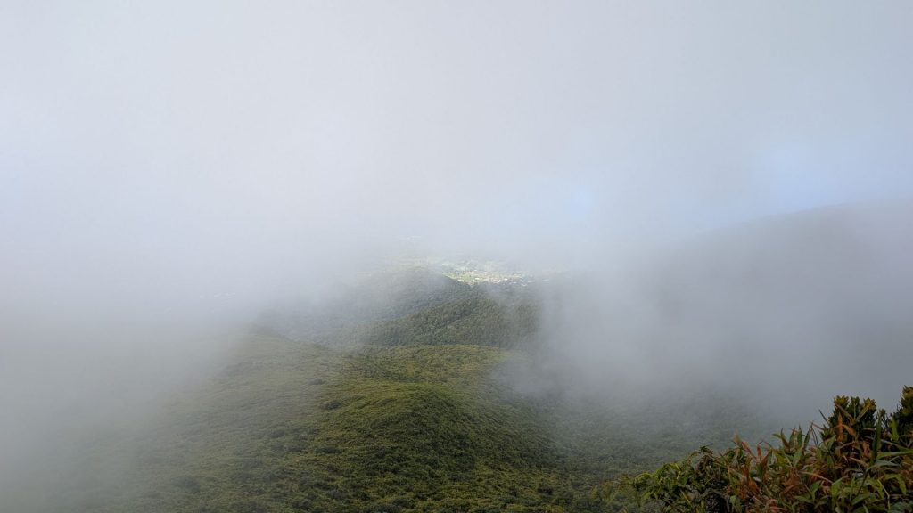
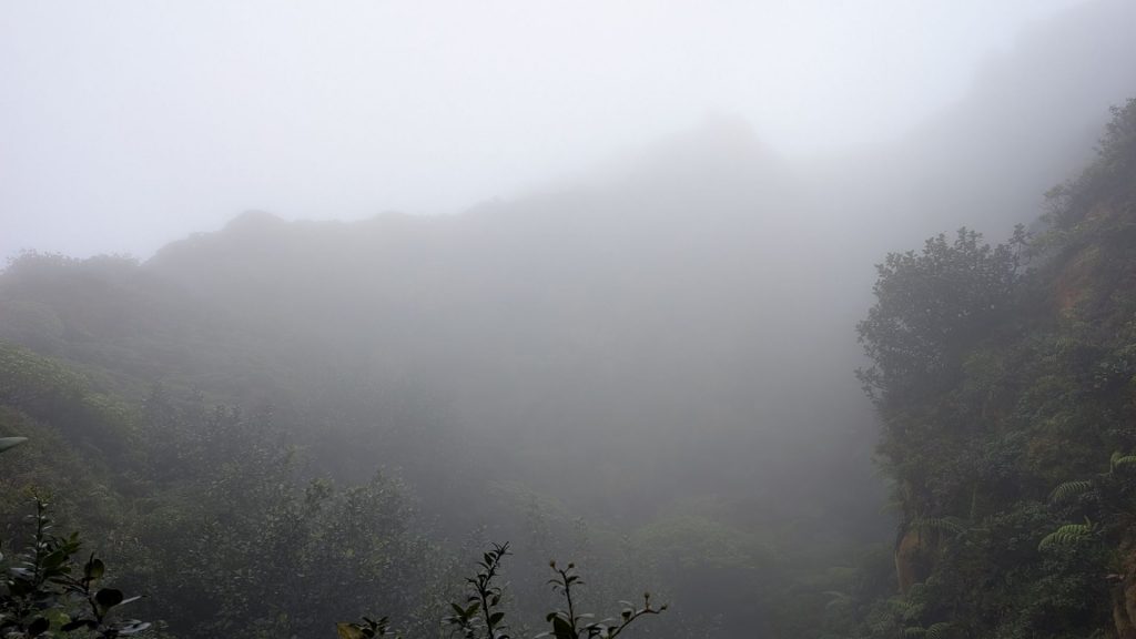
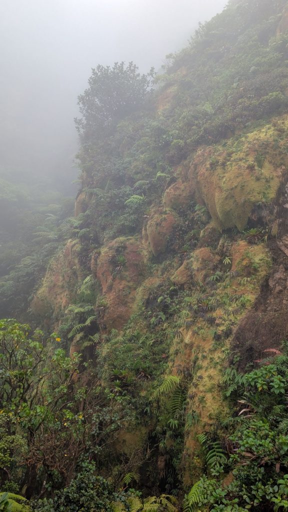
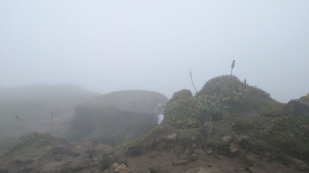
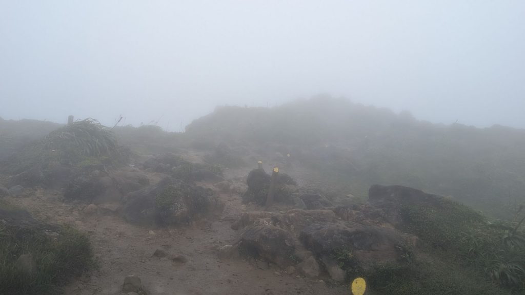
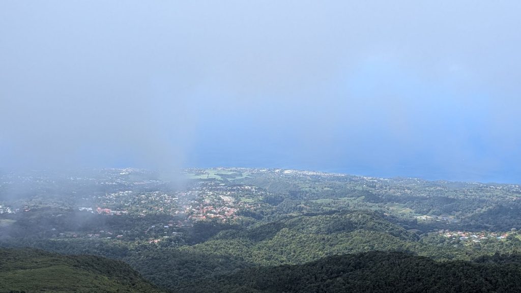
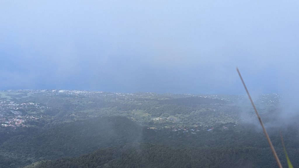
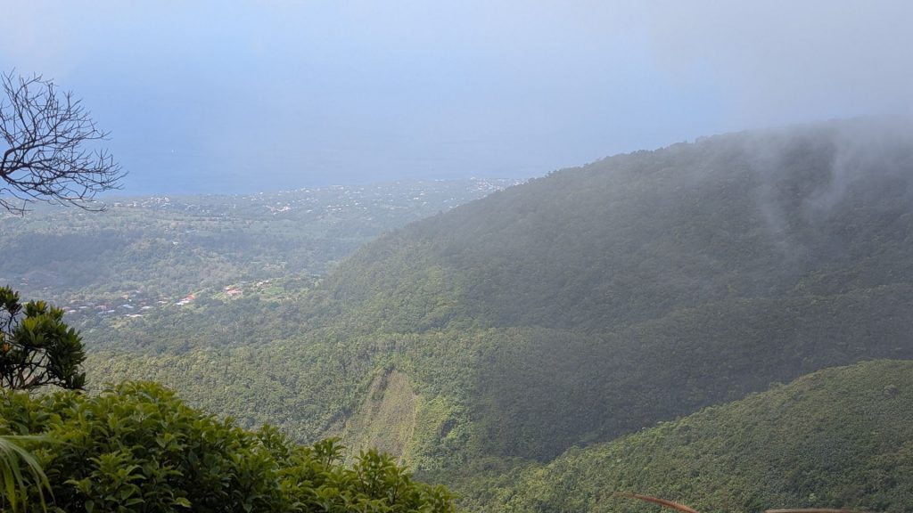
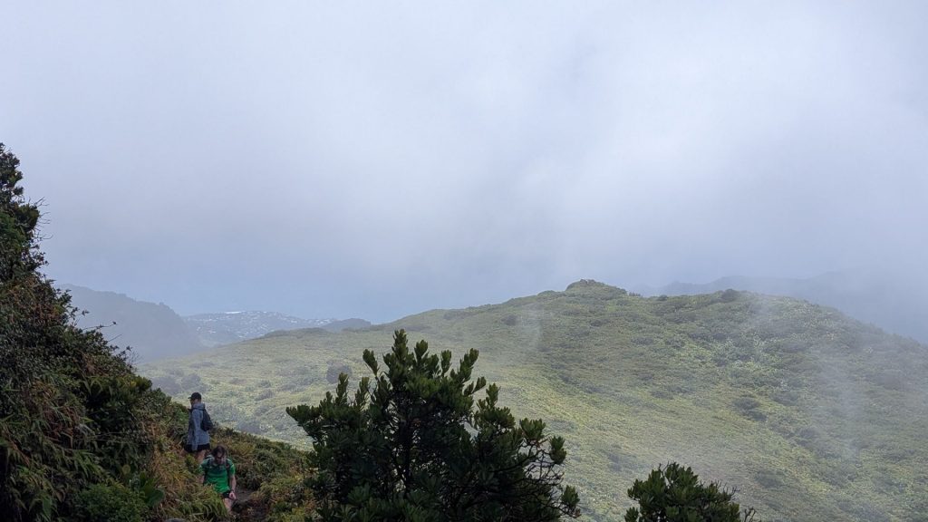
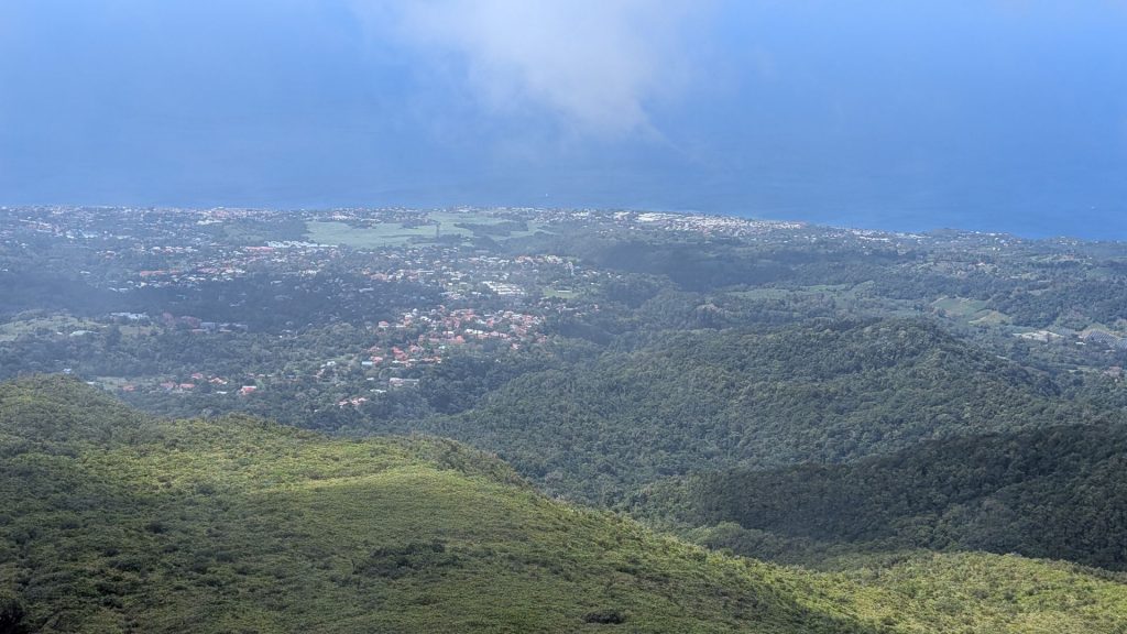
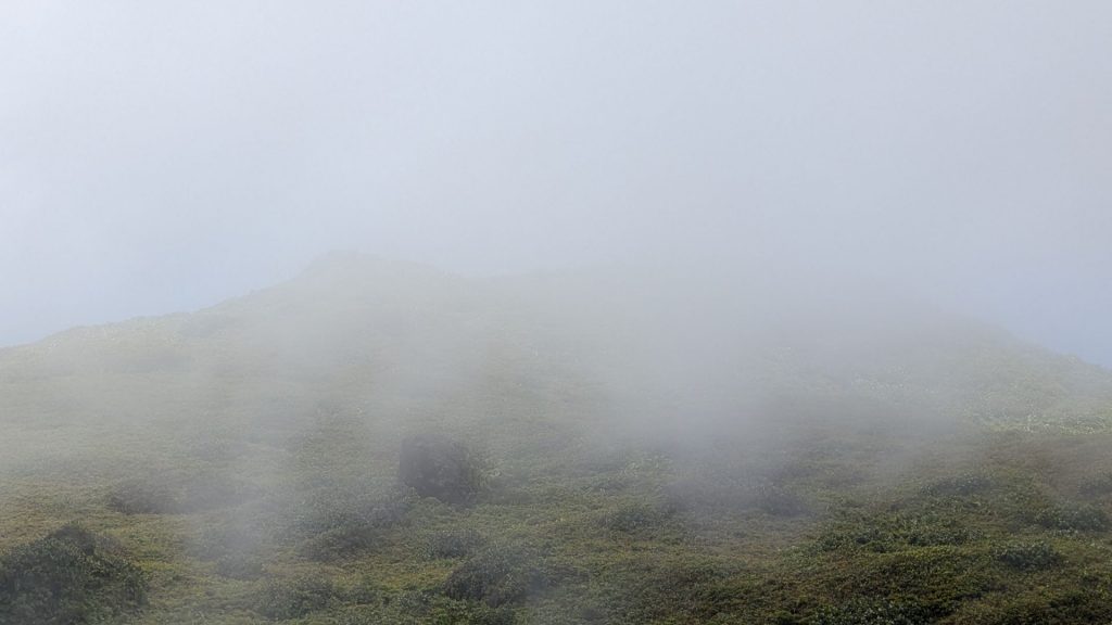
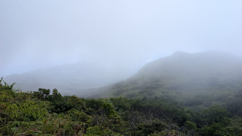
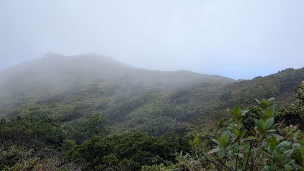
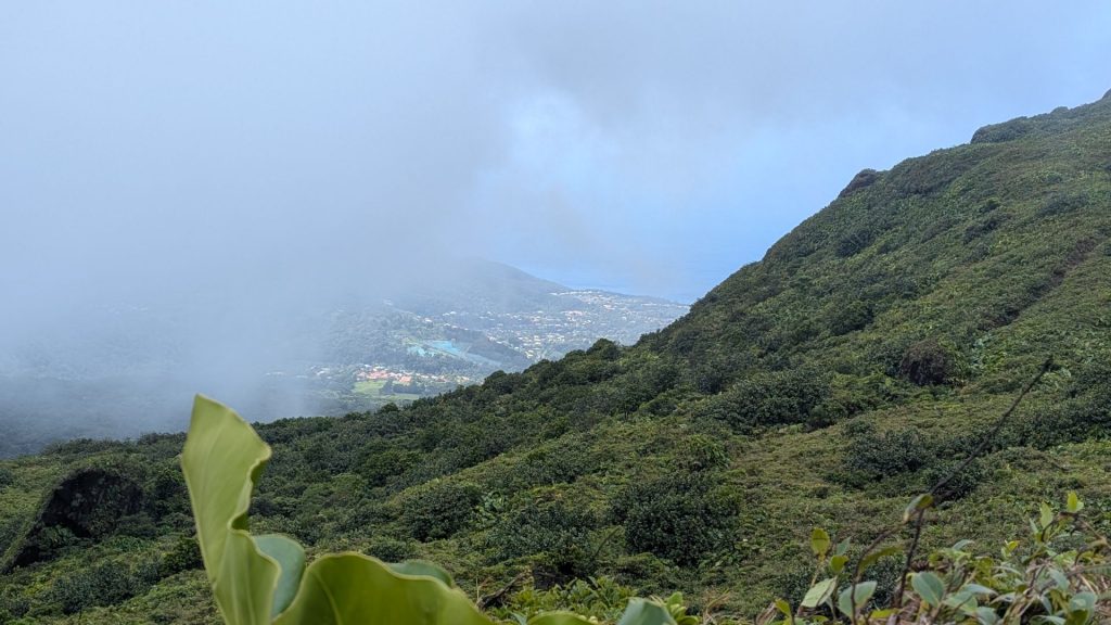
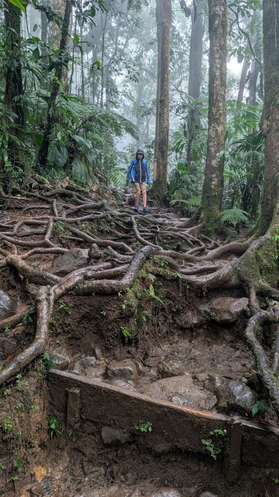
It was a clear day at sea level, but not so much on the volcano. We primarily climbed in mists or clouds. It got quite windy at times. When we reached the top, a gust of wind almost knocked me over. The view from the top was. . . nonexistent. We only saw clouds. It also rained off an on. Needless to say, we spend a very short amount of time on the top before heading back down. It was nice to get down far enough (and on a different side of the volcano) to get out of the strong winds.
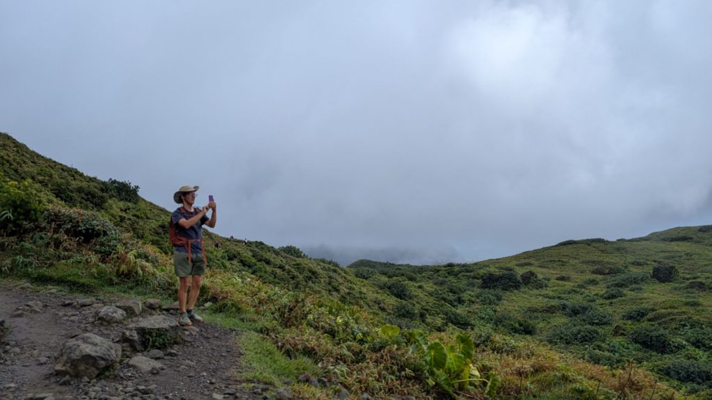
I liked the hike a lot! Here are some pictures, even though they are mostly of clouds! 🙂

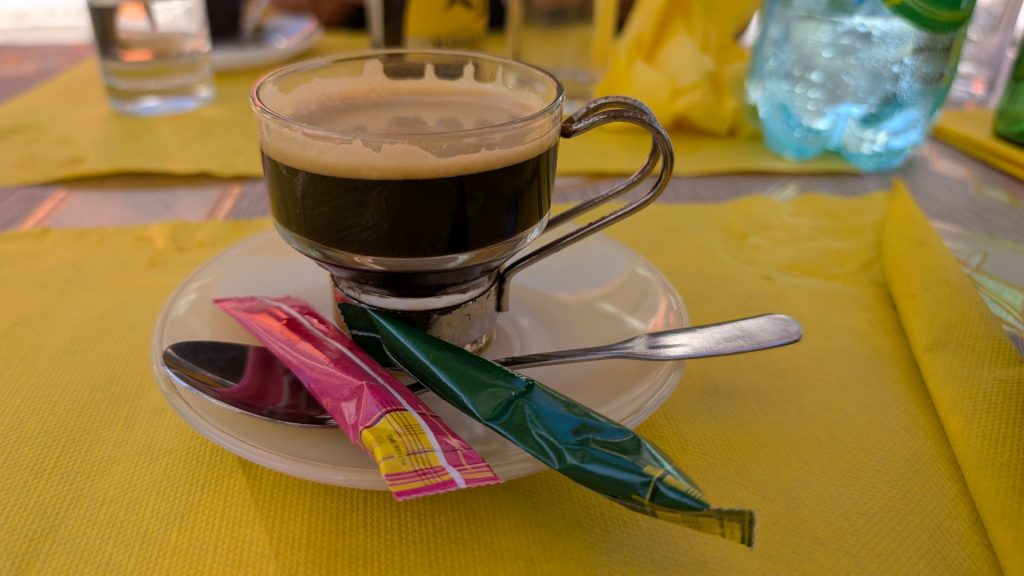
We had an excellent lunch after the hike. I try to remember to take pictures of the food to share with folks, but I forgot this time. But here’s a picture of the cup of coffee I had after lunch. 🙂
That was it for that day. We had just over an hour’s drive each way and we were content to go back to our respective boats. Cathie and Greg’s “Wingo” was on a mooring ball and Seahike was in the marina.
February 17: Chutes du Carbet
Carbet Falls (French: Les chutes du Carbet) is a series of waterfalls on the Carbet River.
In 1493, Christopher Columbus noted Carbet Falls in his log.
The falls’ first and highest cascade has a drop of more than 115 m (377 ft). Visitors reach the cascade by a long, steep trail at an elevation of 900 m (3,000 ft). The source of the Carbet River is located another 2 km (1.2 mi) upstream from the first cascade, at an elevation of 1,300 m (4,300 ft).
The second cascade receives the most visitors of the three, due to its convenient accessibility. This fall of 110 m (360 ft) is in the white house and can be reached by a very well designed path, 20 minutes from the main parking lot, at an elevation of 660 m (2,200 ft). Many hot springs, including Little Paradise Hot Spring, are located nearby.
The third and last cascade measures 20 m (66 ft) in height, and has the greatest water volume of any waterfall in Guadeloupe. It is only accessible on foot, and only to experienced hikers. (This hike was closed the day we went.)
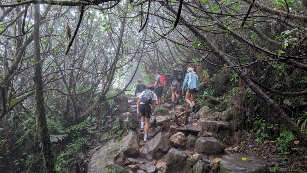
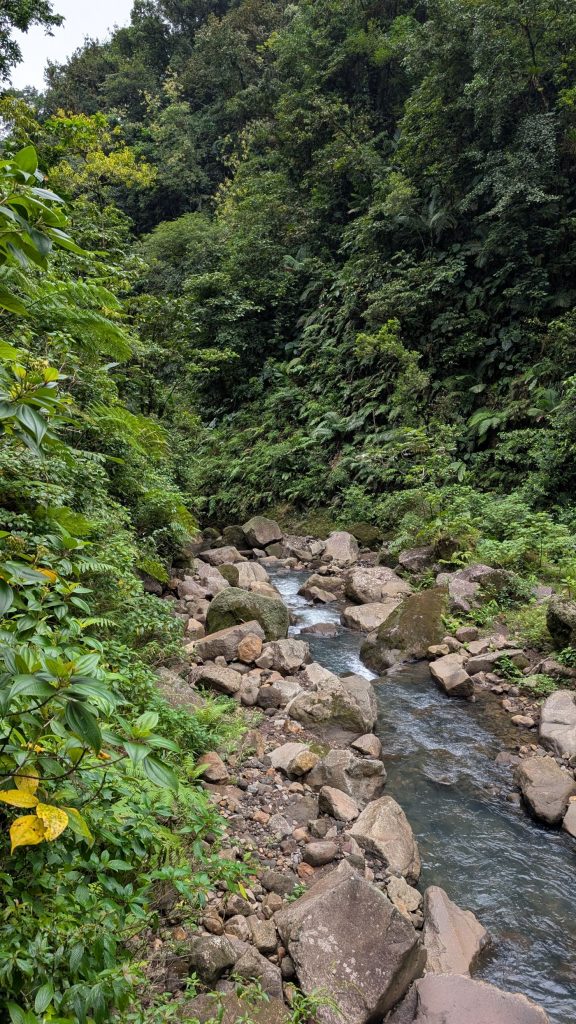
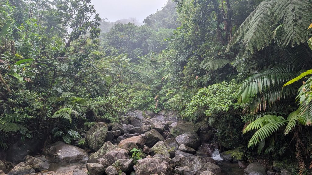
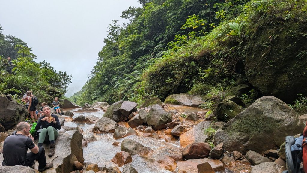
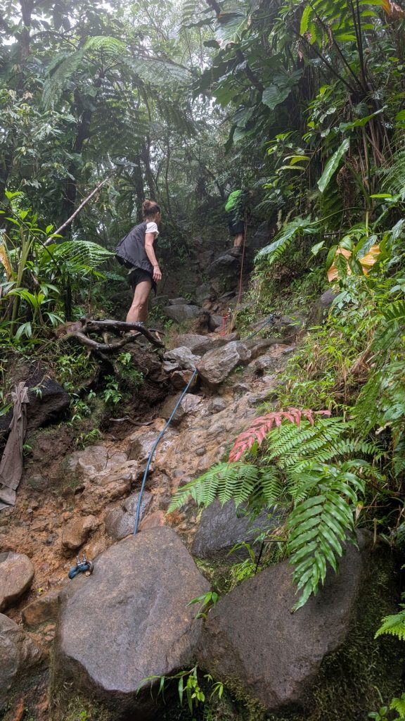
Two of us hiked to the second cascade (which is the first one you reach on the trail) and the other two went on to the second falls. The hike to the second falls is listed as difficult on the trail sign. I think that’s because you have to do some scrambling. There are also sections (maybe four or five?) with ropes that you need to hold to ascend and descend.
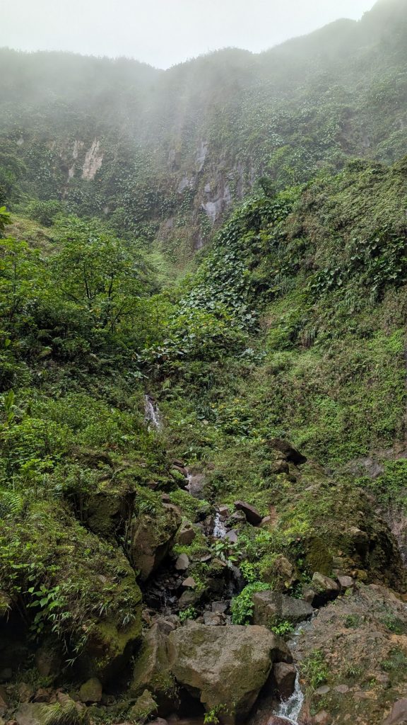
I loved this hike! It was just the level of challenge I enjoy, and the waterfalls were beautiful. We again encountered rain and mist, but it actually felt good. It made hiking more pleasurable, as we weren’t overcome by the heat at all.
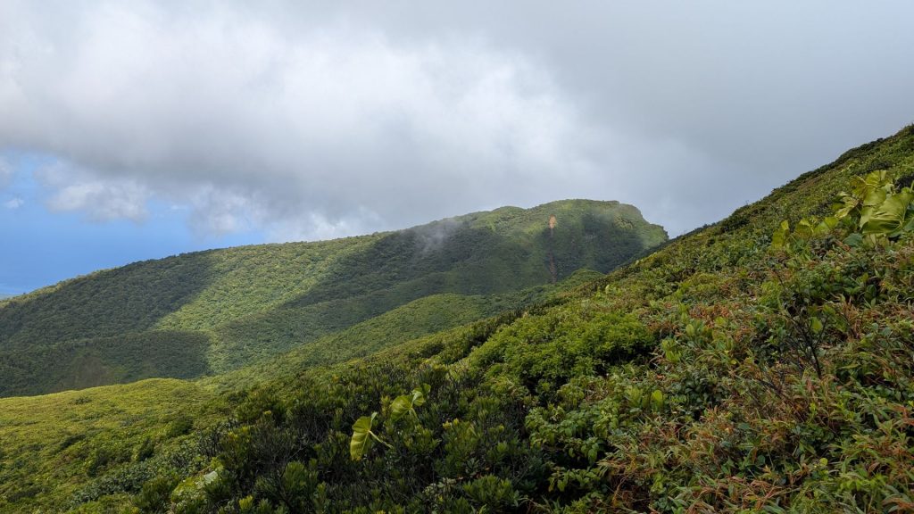
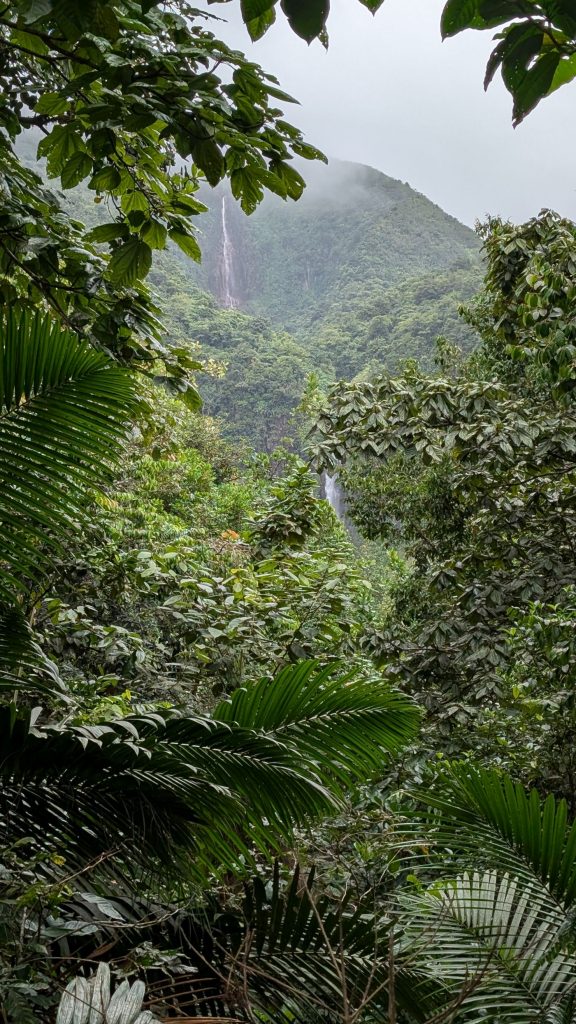
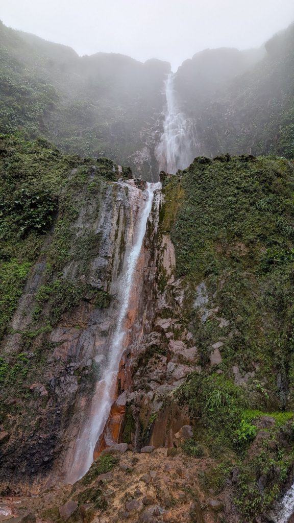
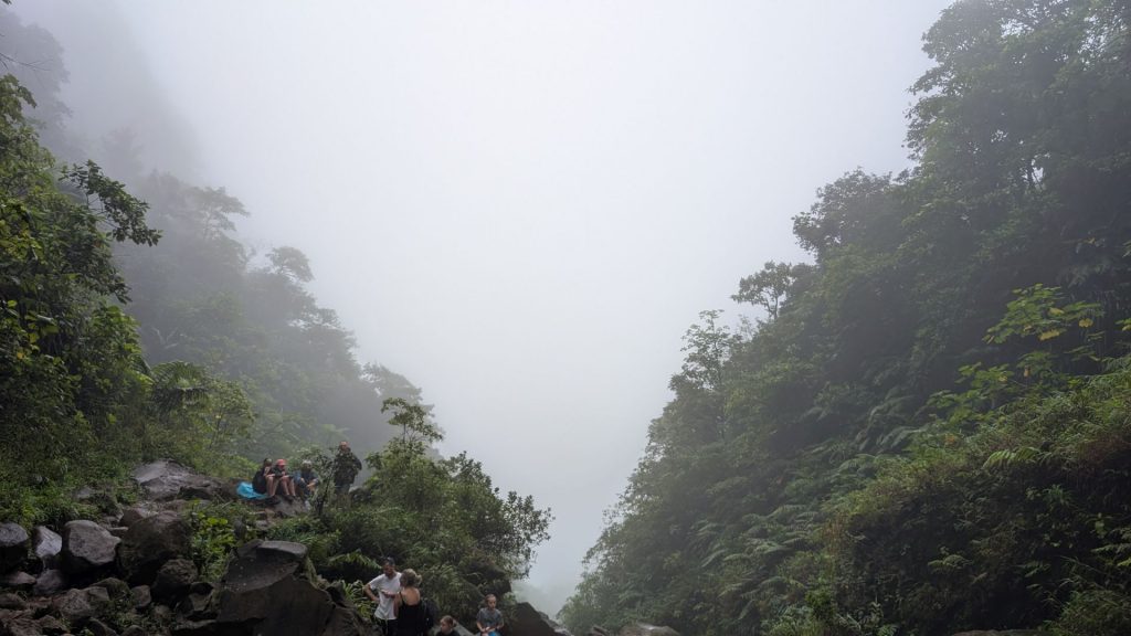
First, a picture of two of the waterfalls (#2 and #1) in the distance:
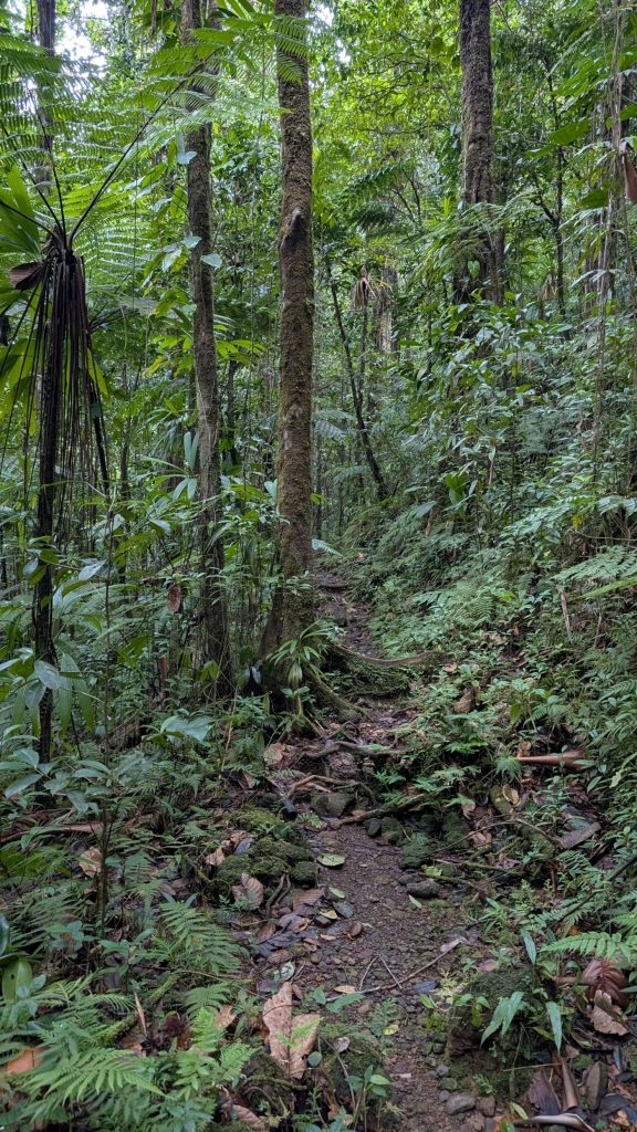
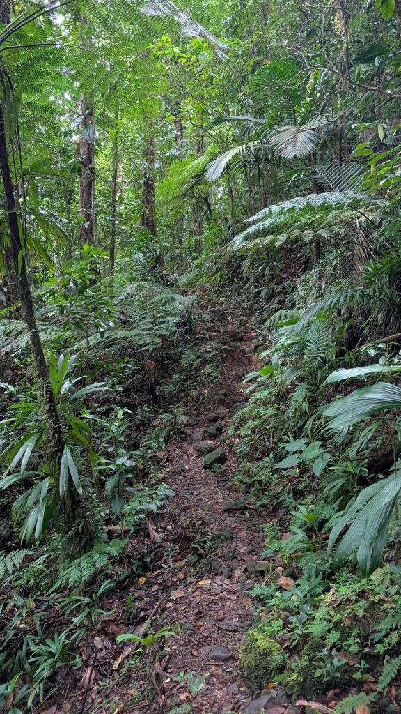
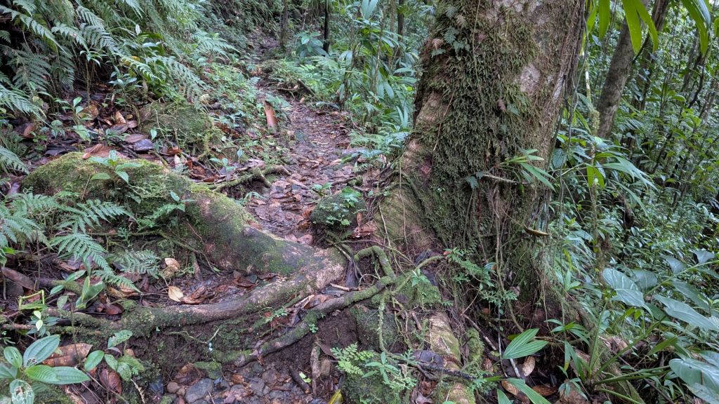
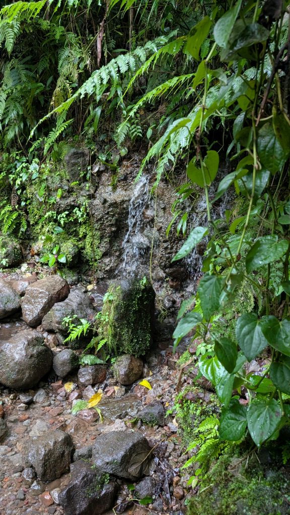
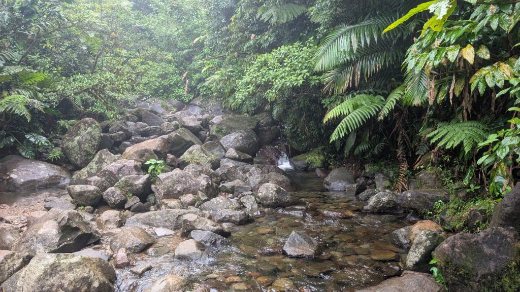
Now, the hike to waterfall #2:
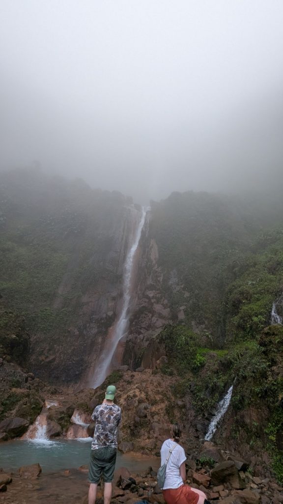
Waterfall #2:
Two of us then continued on to waterfall #1. I didn’t take many pictures of the hike because I needed to use my hands a lot to scramble. The website says it takes about 1.75 hours to reach the falls. I am quite certain we reached it faster than that.
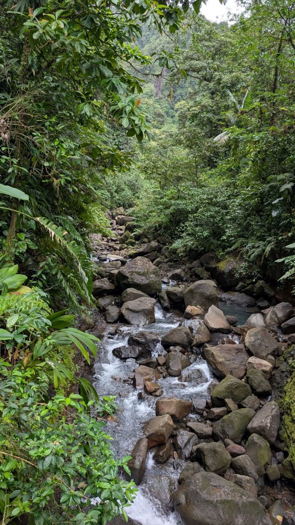
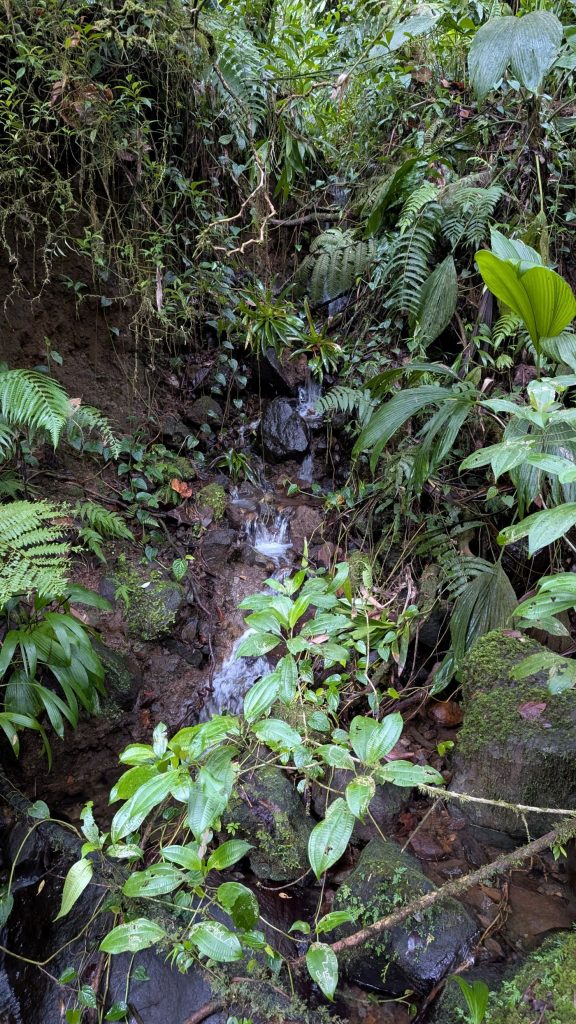
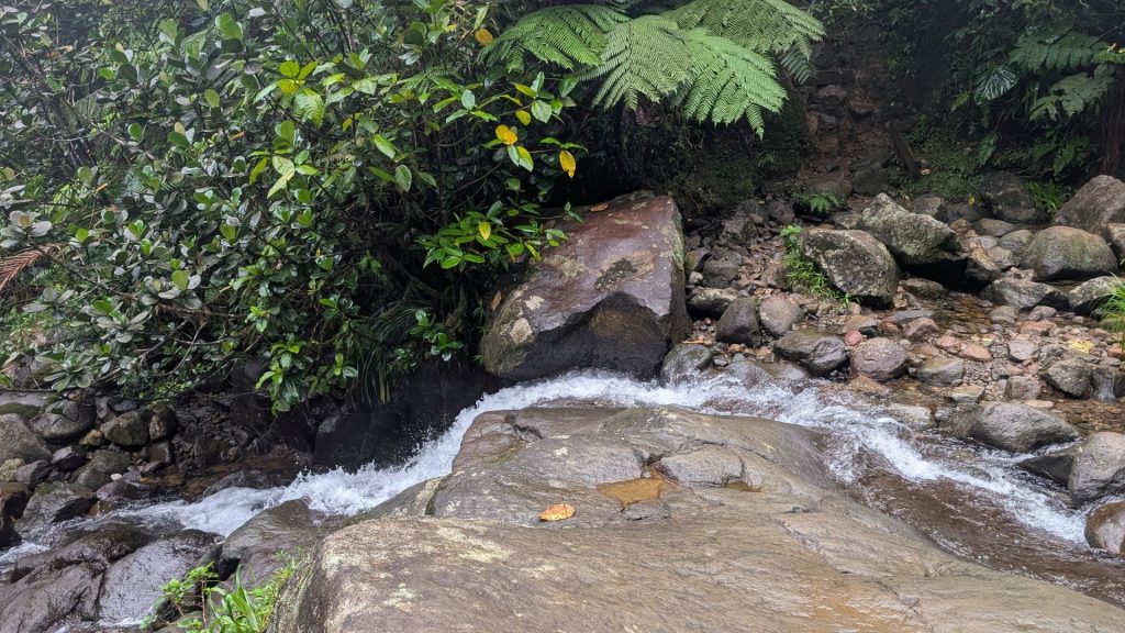
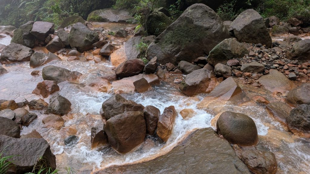
We crossed a stream at one point:
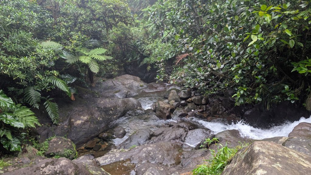
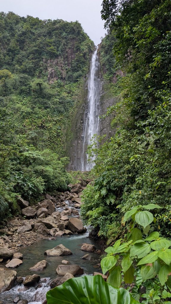
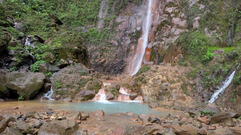
Waterfall #1 on the left. This was the only time we could see both the upper and lower falls, as it misted over within a couple of minutes. After that, we could only see the lower falls. I am glad we arrived when we did!
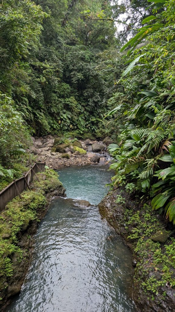
There is a little pool at the bottom of the waterfall (left), then the water turns into a river (right).
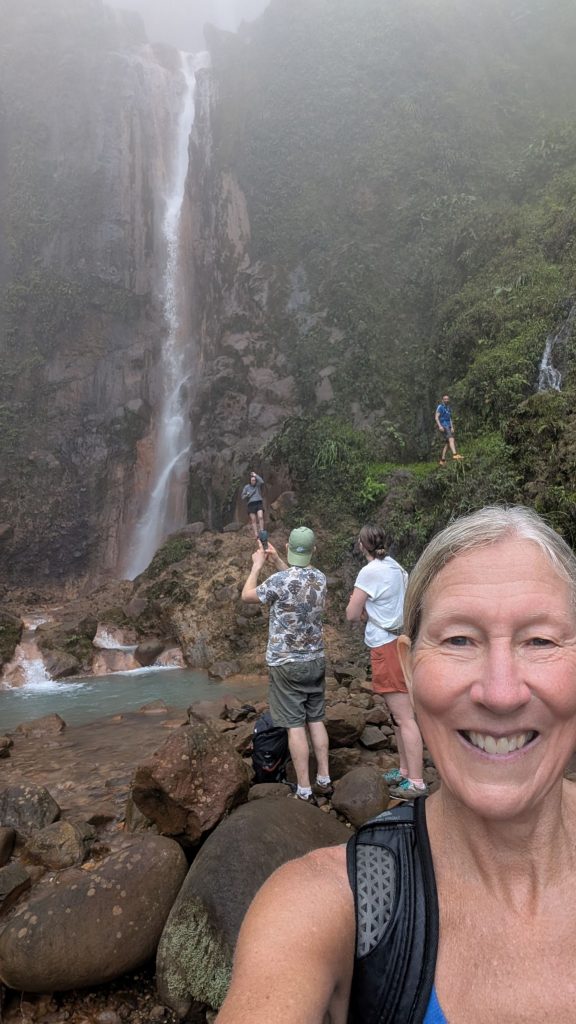
Greg and I both took selfies.
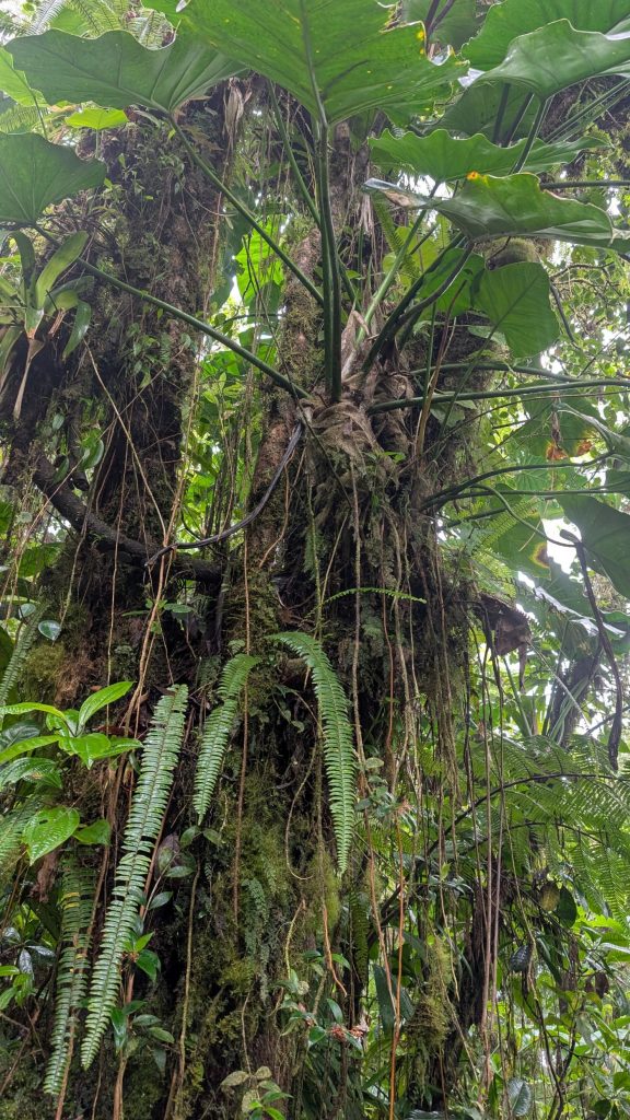
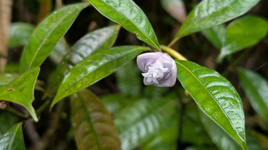
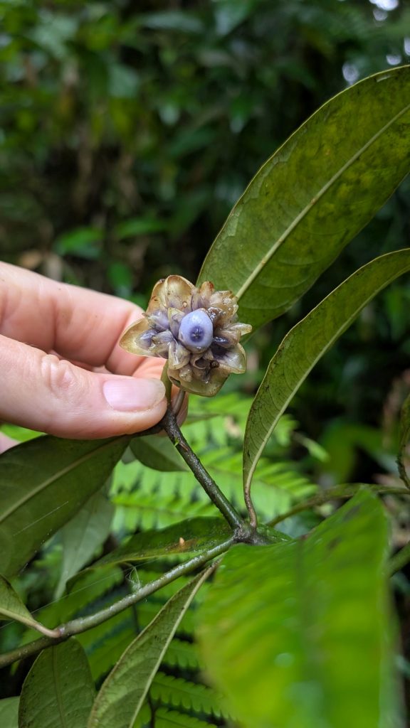
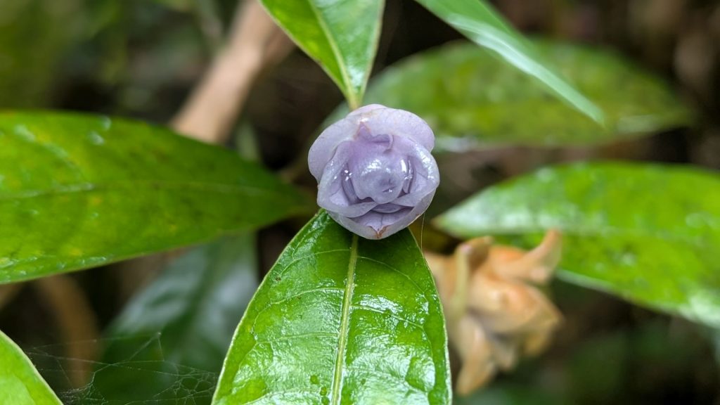
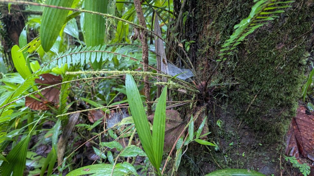
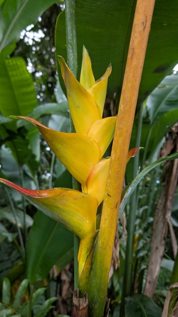
I tried to take a few more pictures on the way down. The greenery is fantastic and we spotted a few flowers. Truly, we would have needed to have hiked slower to spot the flowers.
Cathie and Michael found a little restaurant along the way back to the boats. It was yet another glorious find! The food was fantastic!!!!! And this time I remembered to take pictures.
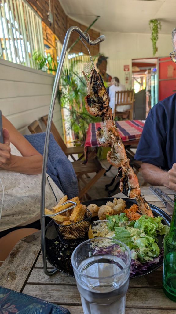
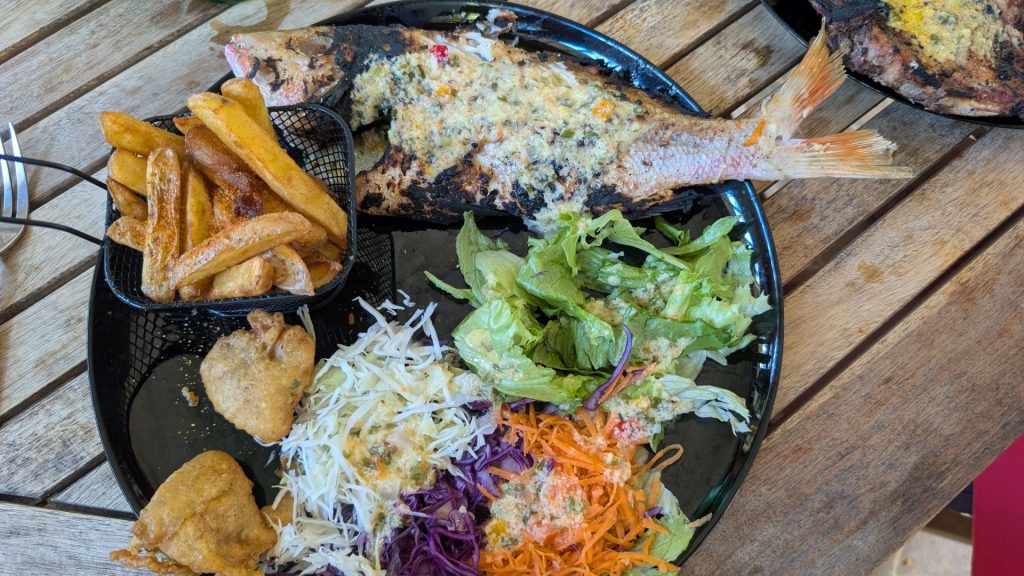
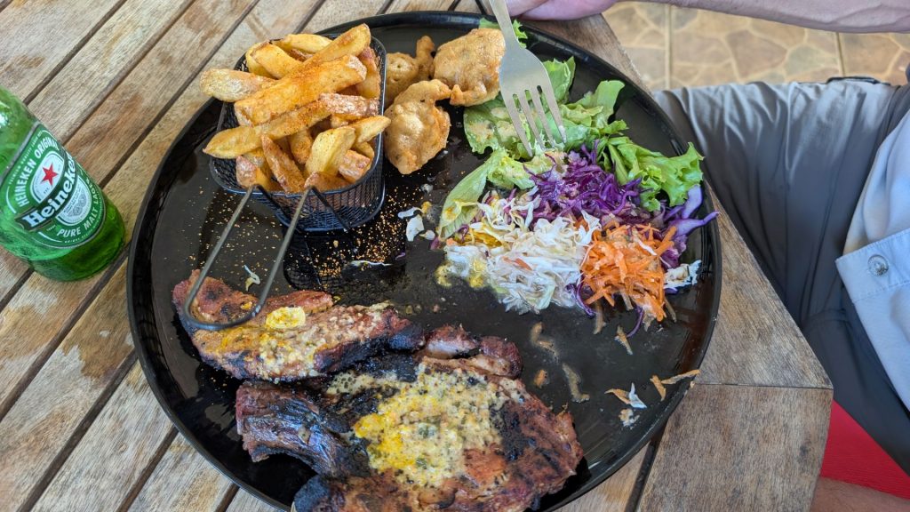
I love finding these small local restaurants on our travels! You know nothing about them and are typically gleefully surprised when you take your first bite. I suppose they might be family run, but I don’t know. I just know that I love supporting these small businesses with their friendly staff!