We’d been in St. Lucia for about a week when we went on a three-day trip to the interior. We rented a very small car. It had an automatic transition, for which I was grateful. I didn’t know how grateful I would be until I drove on the roads. I guess I should have known that driving might be tricky when the advice from the rental car agent was, “Try to avoid potholes.” (I should also note that they also drive on the wrong side of the street here. Smile.)
January 8
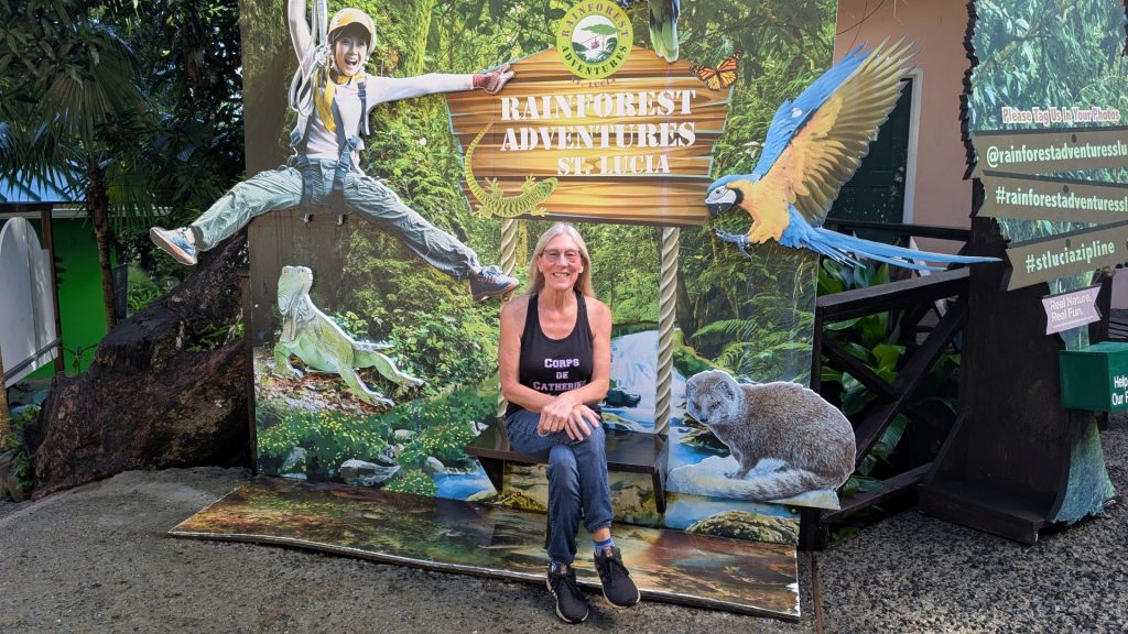
Our first trip was to Rainforest Adventures, about 45 minutes away from the marina, to go ziplining. The road was very curvy, which was fine, and had a LOT of potholes, which I tried my best to avoid.
The package we signed up for had eight ziplines. The second to the last one was the longest at 347 feet. All were deep in the rainforest, so the views were lovely.
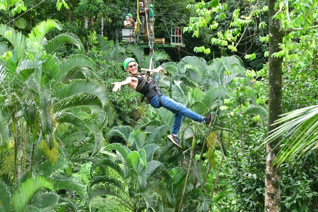
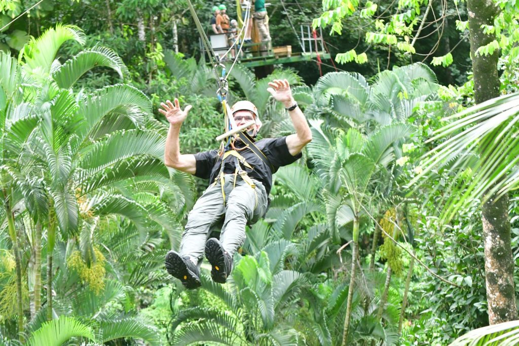
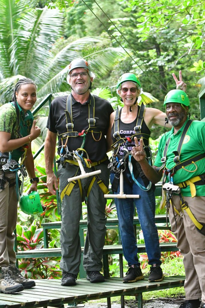
These were our guides/helpers. They were great!
After that, we drove to Pigeon Island. Pigeon Island is actually quite near the marina, but it would have been a bit of a walk. Since we had the car anyway, we drove there. The objective was to take the Fort Rodney and Signal Hill Hike.
Stats:
Distance: 1.5 miles
Duration: 44 minutes
Elevation gain: 288 ft
Type: Loop
Map:
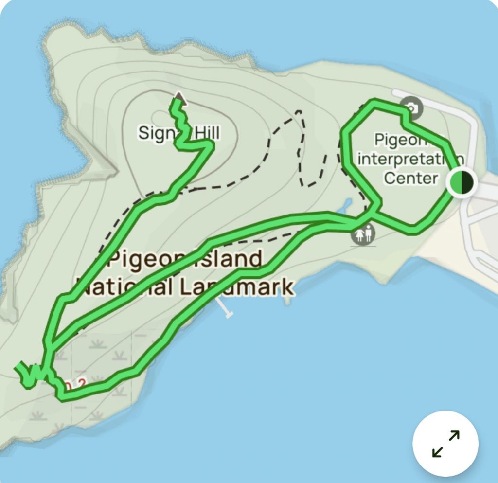
Most of the elevation gain is the hike up Signal Hill. The rest is pretty level.
But before we take the hike, here’s a bit of information about Pigeon Island, Fort Rodney and Signal Hill.
Pigeon Island
Pigeon Island is a 44-acre islet located in Gros Islet in the northern region of Saint Lucia. Once isolated from the country in the Caribbean Sea, the island was artificially joined to the western coast of mainland in 1972 by a man-made causeway built from dirt excavated to form the Rodney Bay Marina. Composed of two peaks the island is a historic site with numerous forts such as an 18th-century British fort and Fort Rodney both used by the British to spy on French Ships from neighboring Martinique. In 1979 it was named a national park and again in 1992 it became a national landmark under the control of the Saint Lucia National Trust. Today, Pigeon Island is the home and major venue of the Saint Lucia Jazz Festival.
Fort Rodney and Signal Hill
Between 1779 and 1782, Admiral George Rodney took over Pigeon island, and built Fort Rodney. To establish clear viewpoints, Rodney ordered all trees on Pigeon Island to be cut down. From the higher peak, Signal Hill, Rodney was able to observe the French naval base of Fort Royal on Martinique. In 1782, Admiral Rodney sailed from Pigeon Island to confront the French fleet, which he defeated in the Battle of Saints (more about this battle later).
Two barracks, with a kitchen, were built in 1808 and used until 1901. Additionally, quarters for the commanding officer, and an Officer’s Mess were built in 1808.
Originally fortified with four 24 pounders and two mortars, the cannons were sold off in 1861.
Rodney’s 1780 lime kiln was modified to process whale oil in the 1920s, and did so until 1926.
Franklin Roosevelt visited the area aboard the USS Tuscaloosa on Dec. 8, 1940. The US Navy built a naval air station at Reduit in 1941 under the Destroyers for Bases Agreement for the Battle of the Caribbean, and used the island as a communication station. A squadron of 18 PBY-5 Catalinas patrolled for German submarines. The station was deactivated on June 1, 1947.
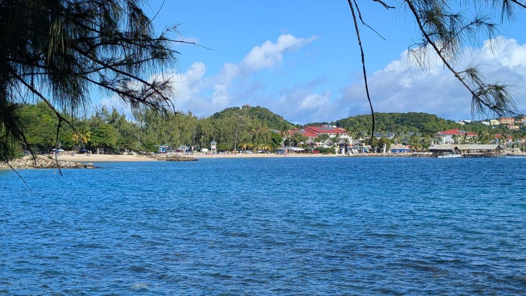
Here are some views of the Caribbean Sea on the way to the trailhead.
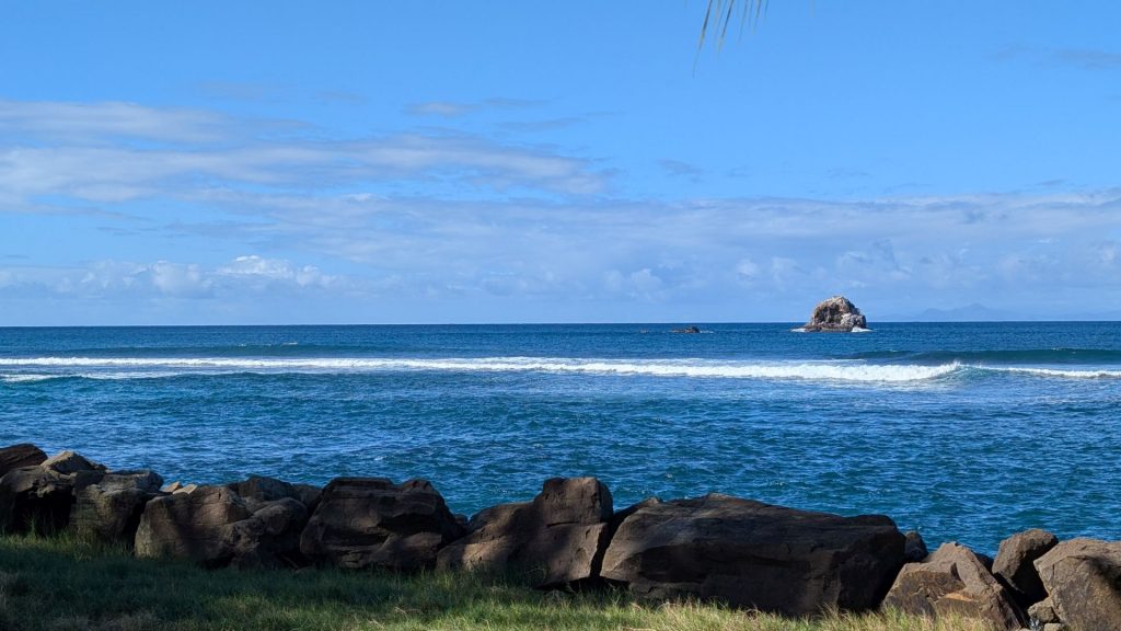
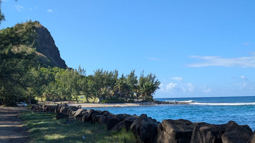
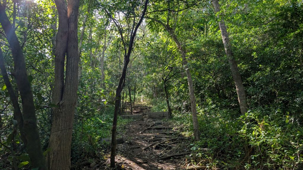
Now we are on the trail, although the first part is really just meandering around (although I followed the “trail” using the AllTrails map on my phone).
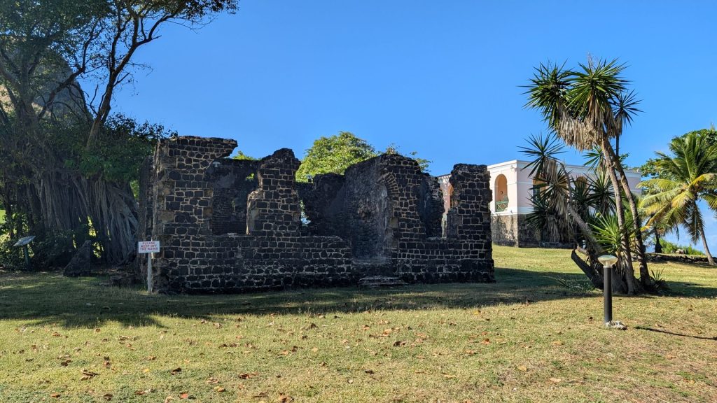
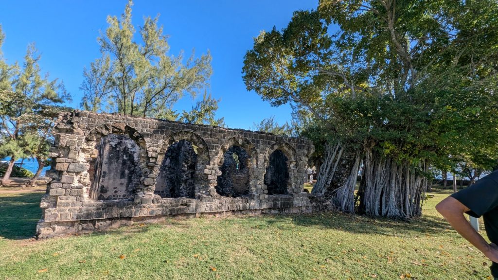
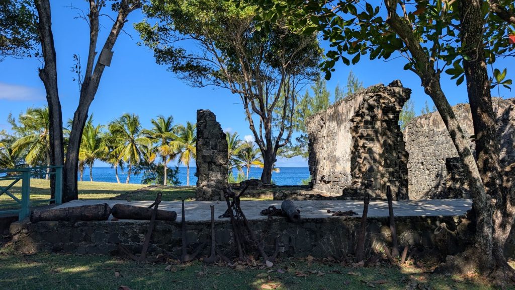
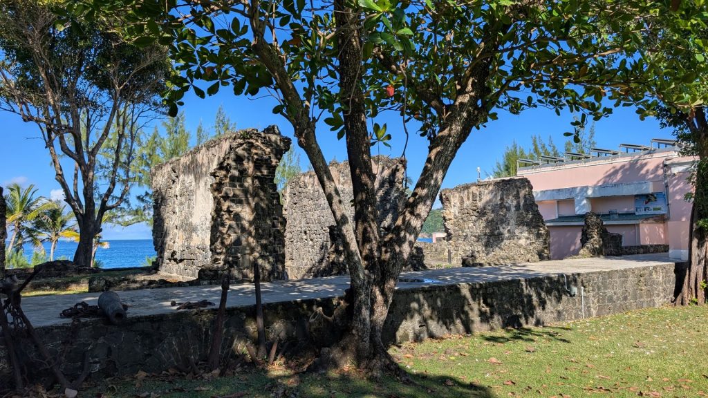
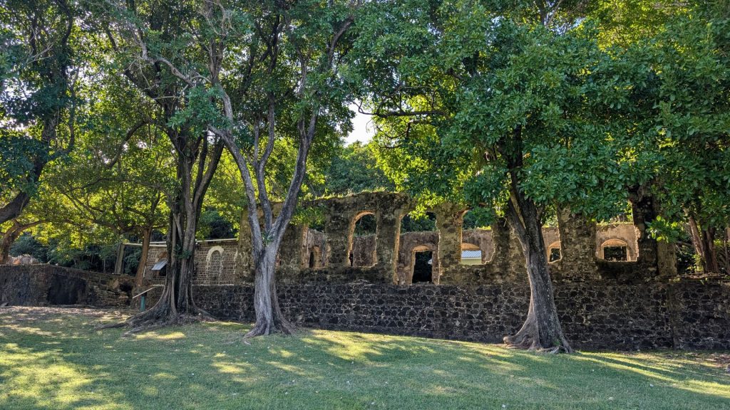
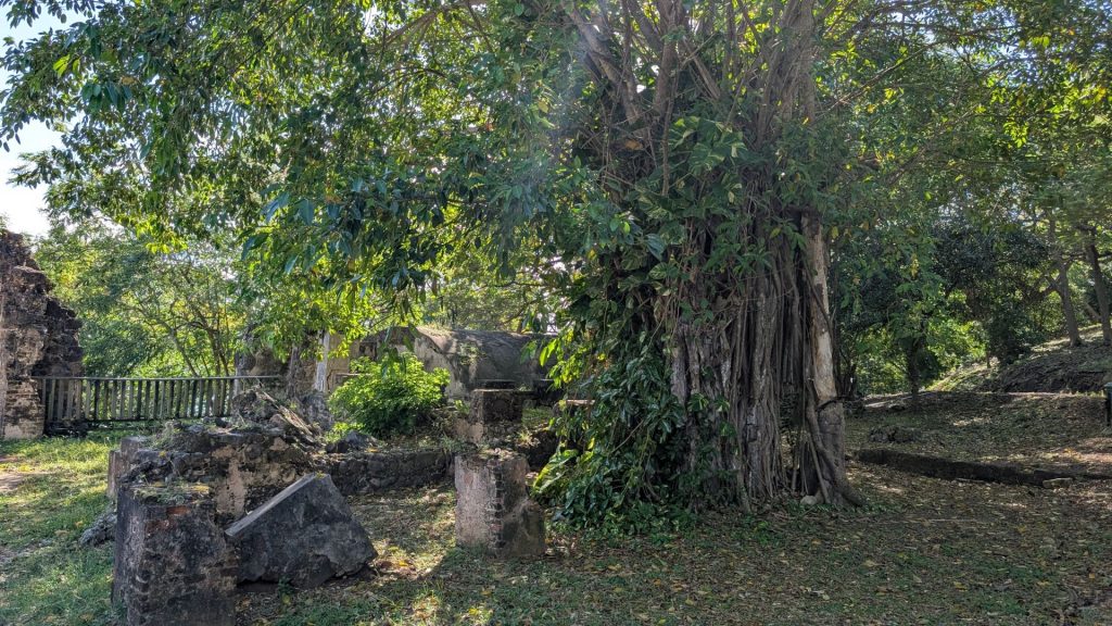
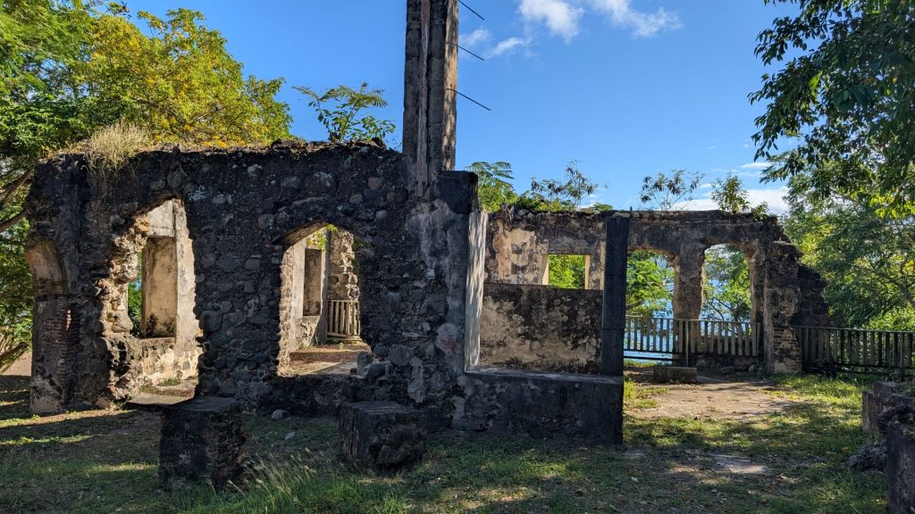
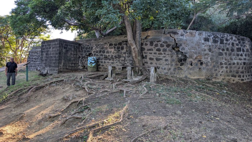
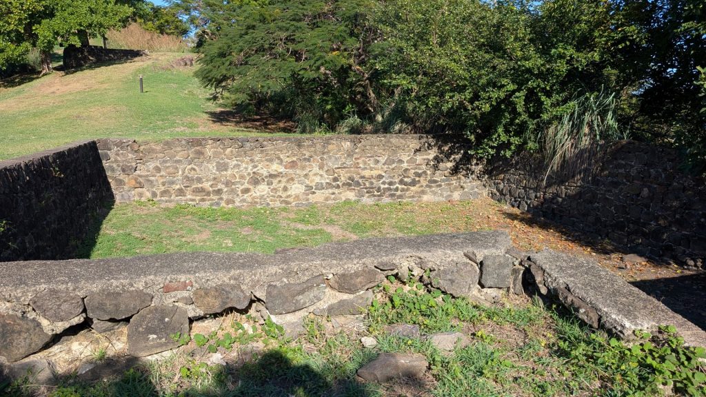
Most of the structures weren’t identified, so I don’t know what the ruins are.
That said, there was one sign that identified Soldiers’ barracks, built in 1808. These barracks were built to hold 60 men. The two sets, built side by side, were damaged in the hurricane of 1817, and rebuilt in 1824. A kitchen between the two completed the complex.
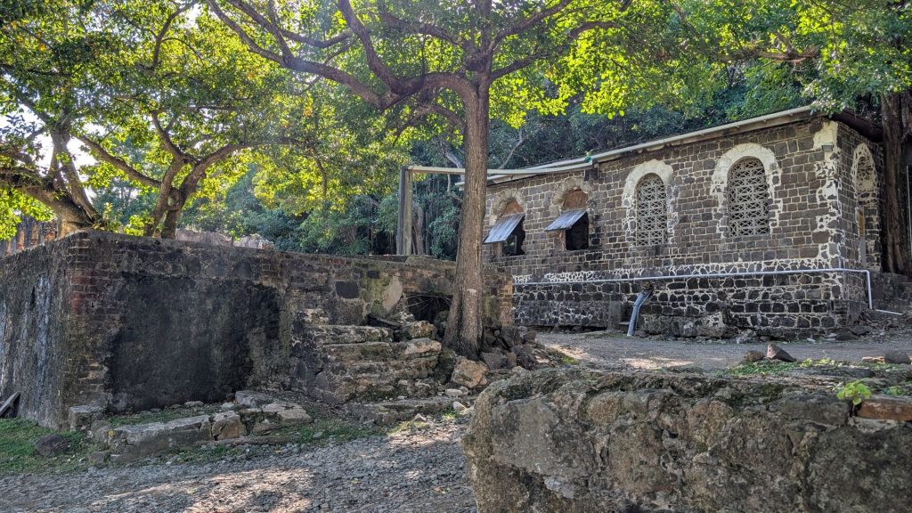
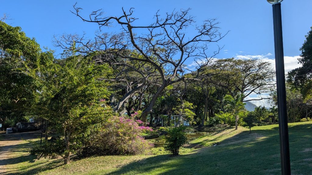
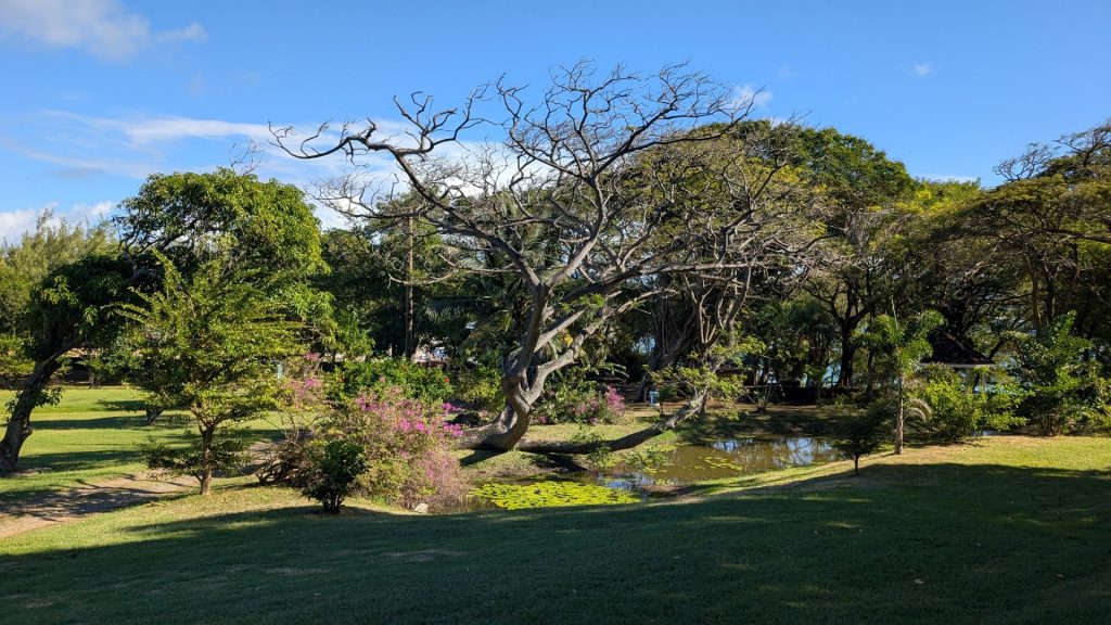
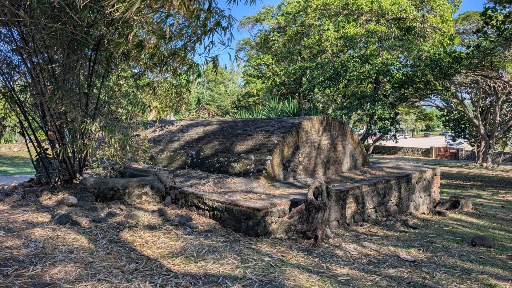
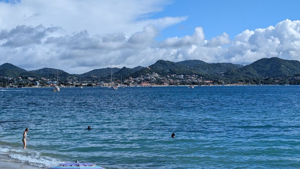
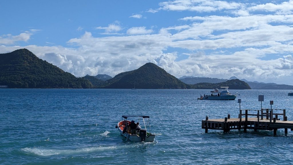
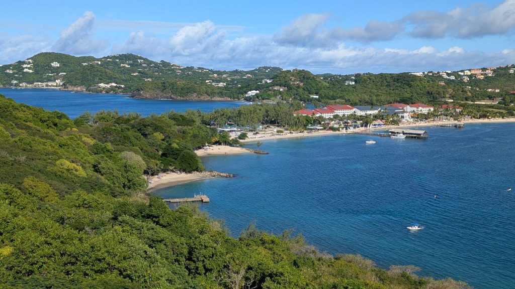
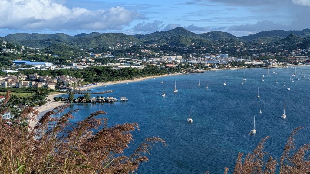
We were right by Pigeon Bay and, of course, Rodney Bay.
Nearly two centuries after Rodney recognized its importance, Pigeon Island was again used as a strategic base, during World War II. This U.S. Signal Station (pictured below) was built over Rodney’s existing mortar battery dating from 1780, and Pigeon Island served as a U.S. naval communications signal station until 1947.
An inclined cable lift, to the east, was used to haul up diesel fuel to power the generators. The wireless transmitter receiving mast was atop Fort Rodney.
Distant views from the trail:
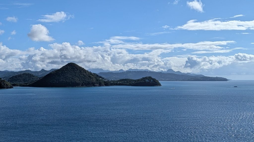
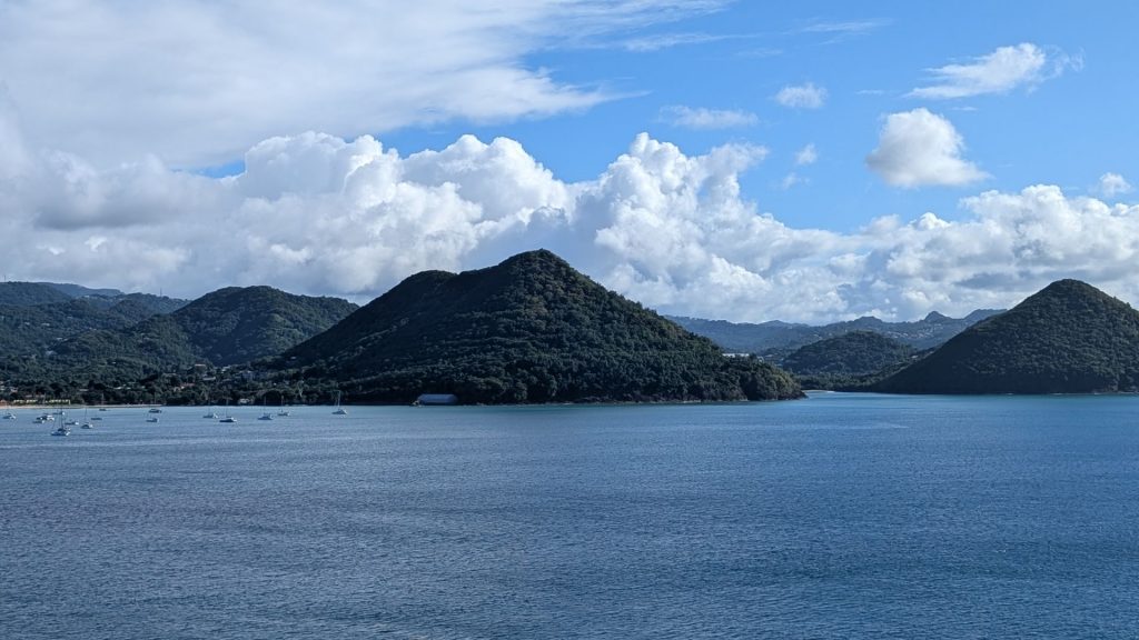
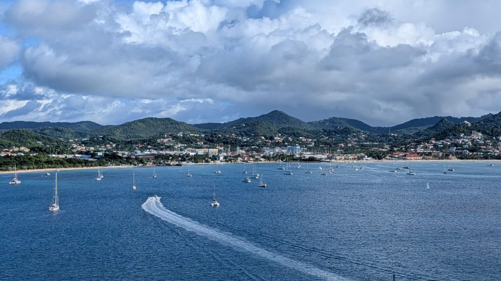
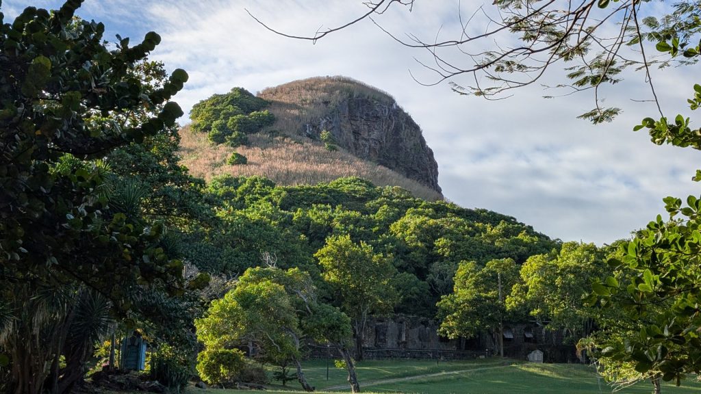
The highest point is Signal Hill.
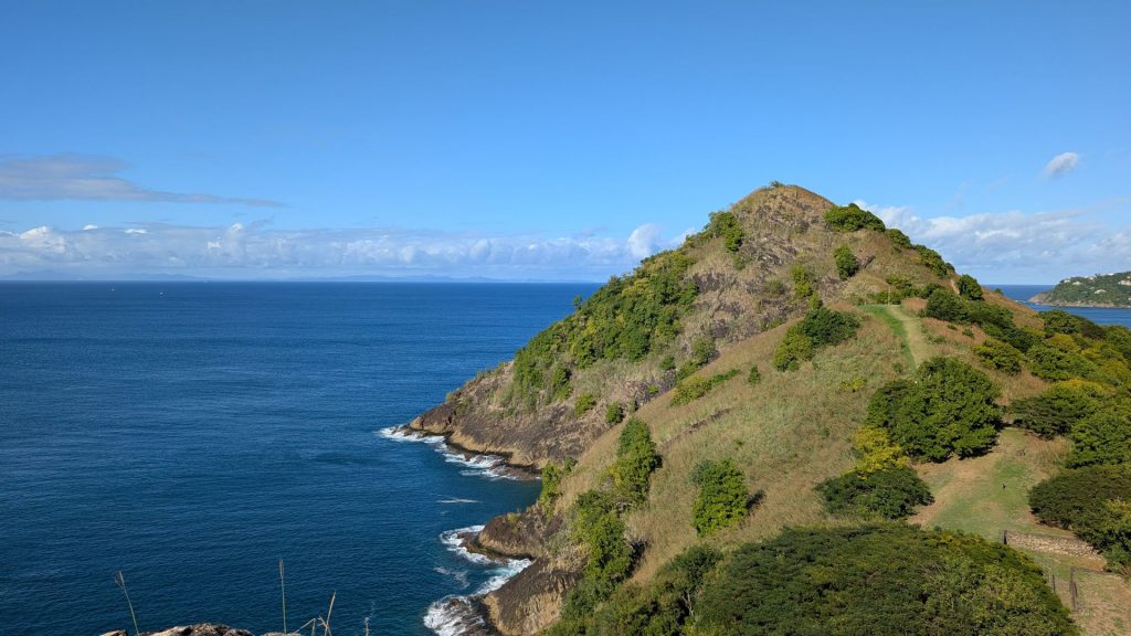
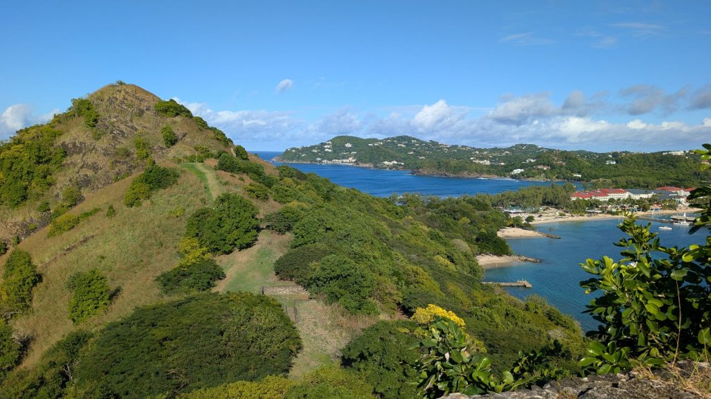
Fort Rodney:
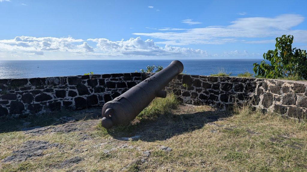
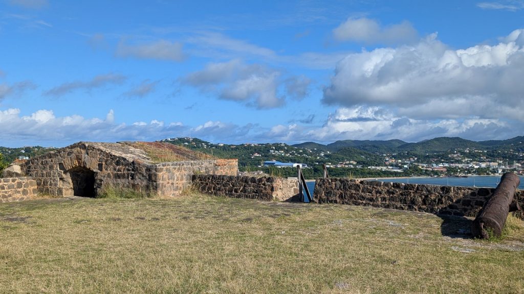
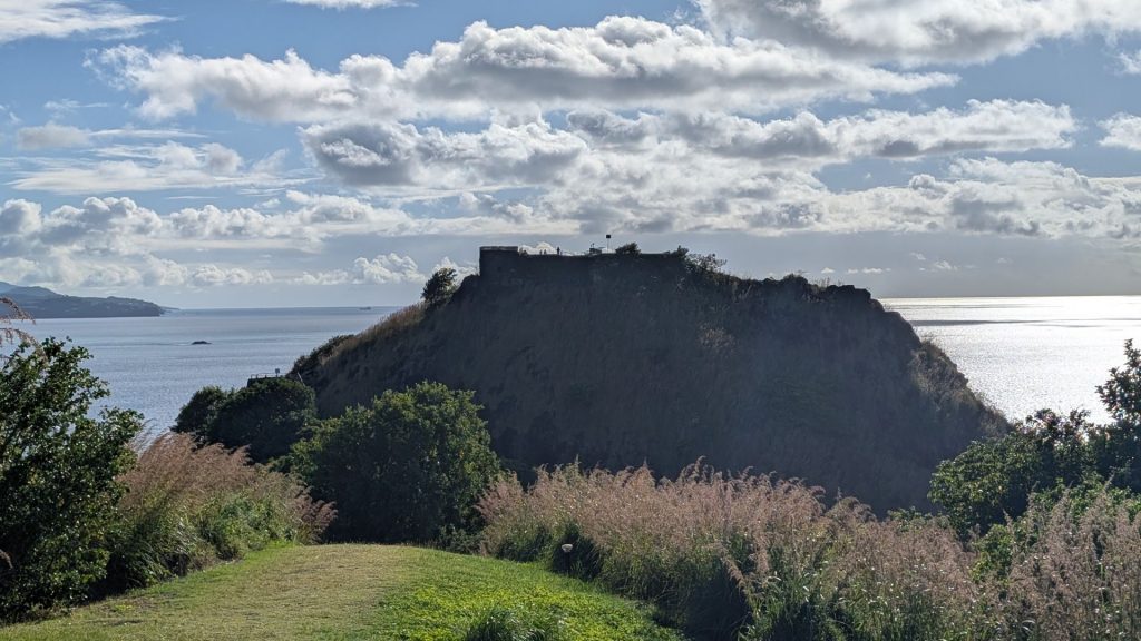
Below are pictures of a Musket Redoubt. This outpost to Fort Rodney was built in 1782 to protect the ridge top from surprise attack from sea. The soldiers could be hidden in the sunken area and they could stand on the platform and look down on both sides of the glacis or slopes.
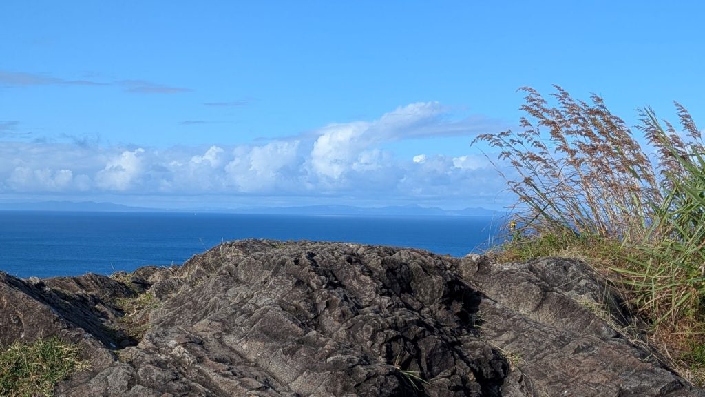
Directly above it is Signal Peak, and below is the whole of Rodney Bay. On a clear day you can see Martinique, 25 miles to the north. It was a clear day, so we could see it easily.
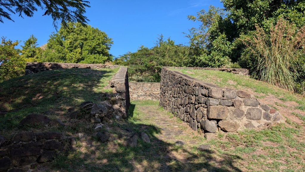
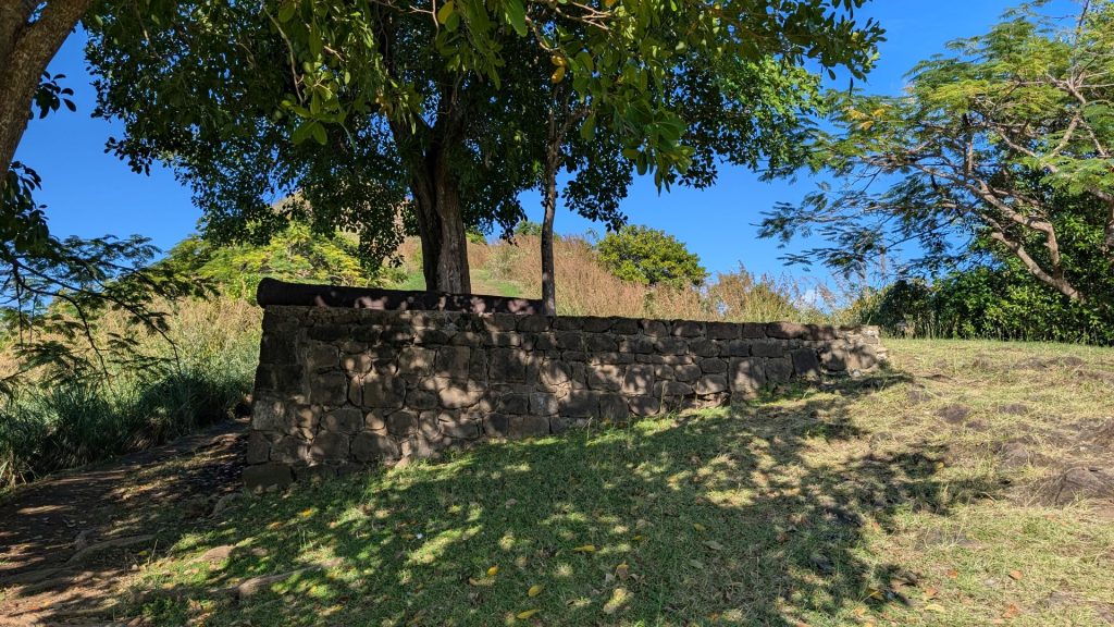
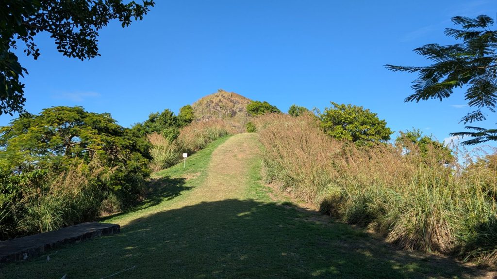
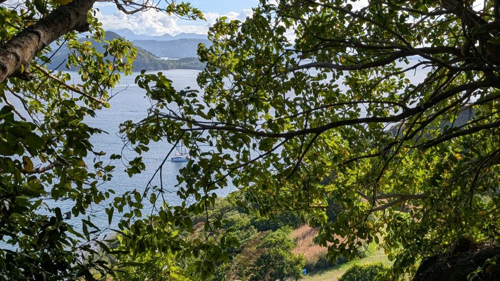
More views – as I hiked to the top of Signal Hill.
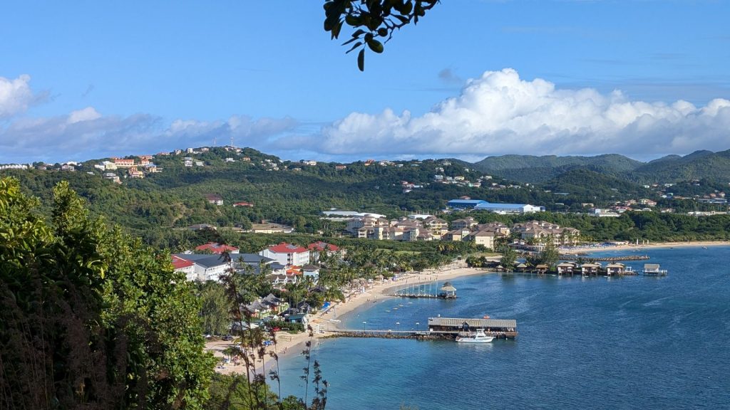
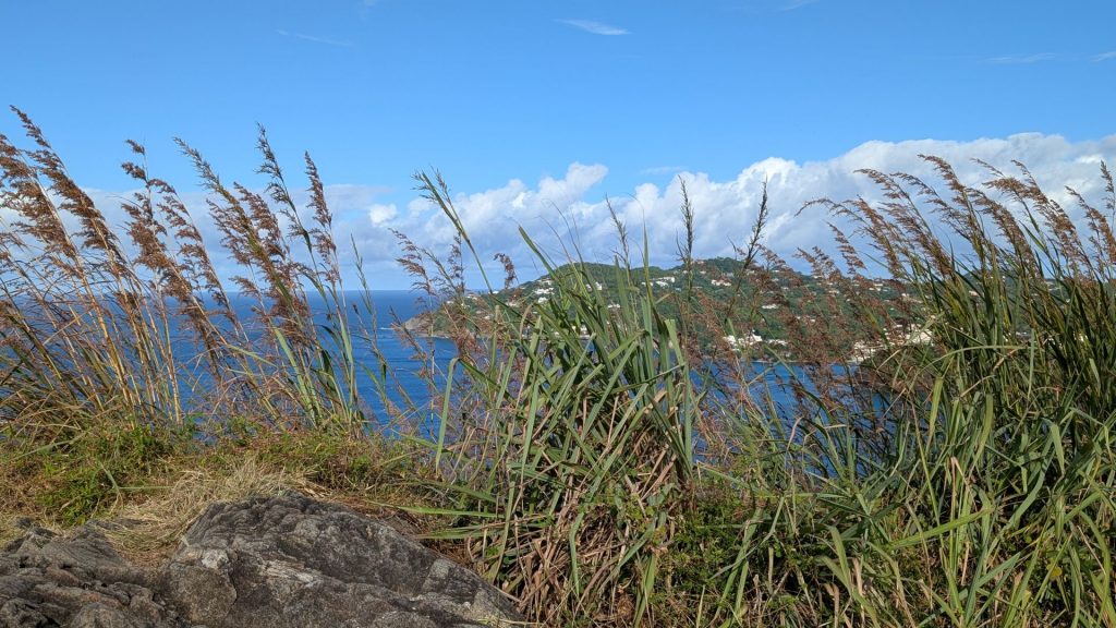
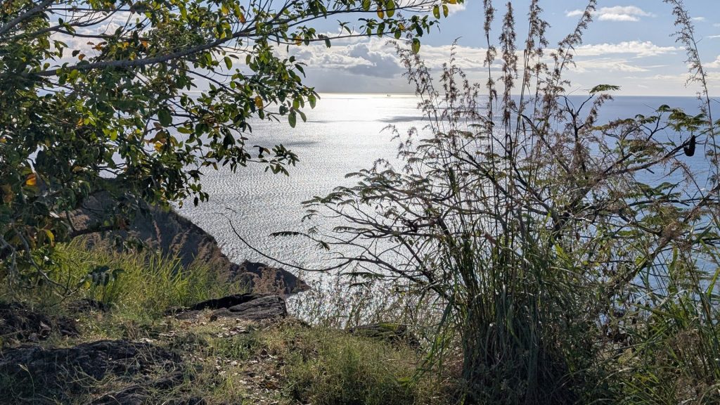
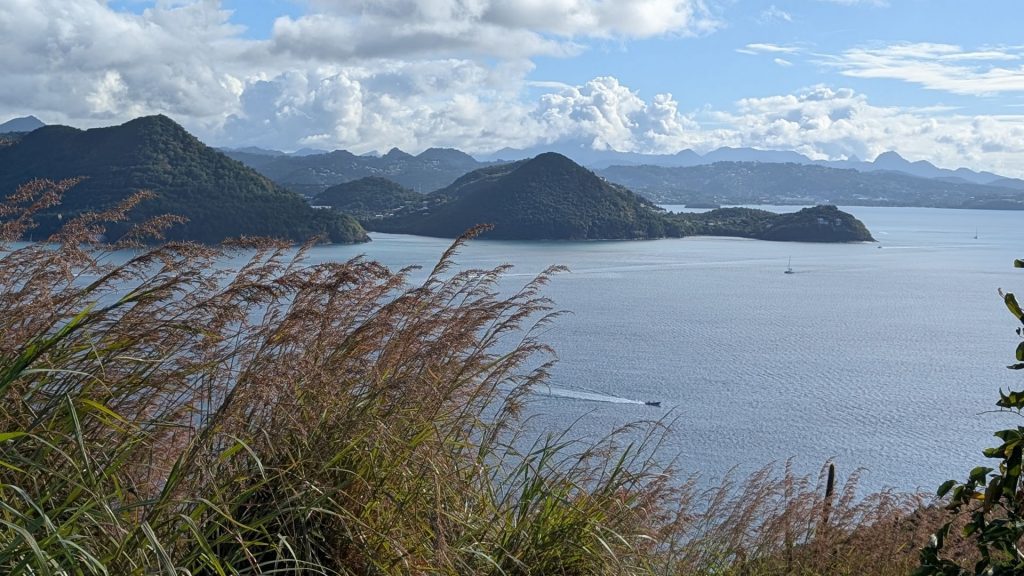
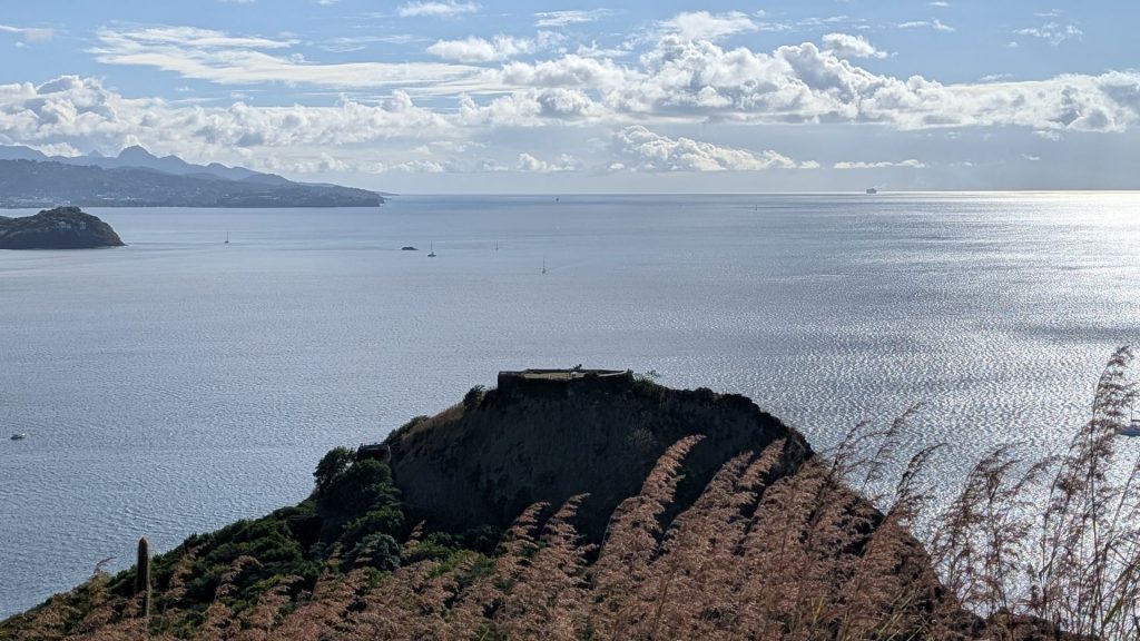
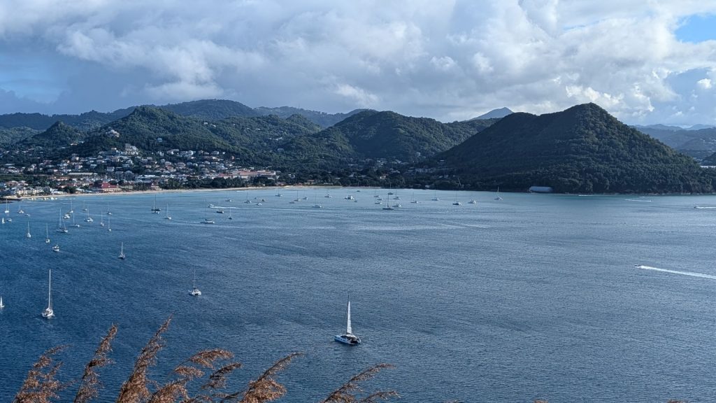
Martinique in the distance:
We went back to Seahike to spend the night.
January 9
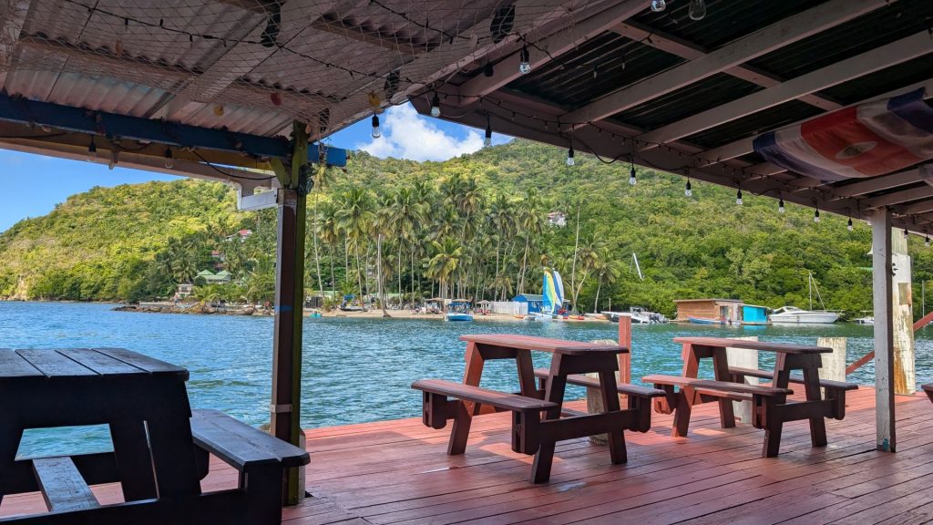
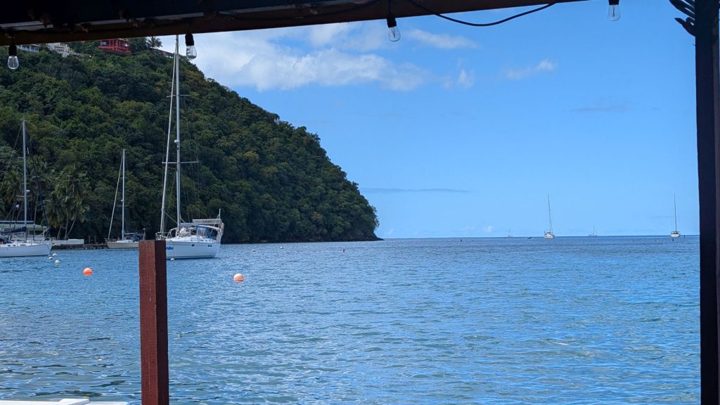
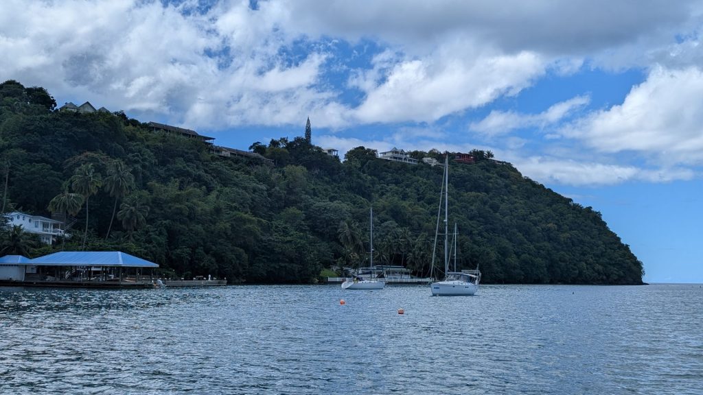
We first drove to Marigot Bay, where we had lunch. Yes, we got a late start this day. For those who care, Marigot Bay is one of the bays where they filmed part of Pirates of the Caribbean. Marigot Bay in St. Lucia was featured in the first Pirates of the Caribbean movie, The Curse of the Black Pearl. The bay’s natural arch was used to film the scene where Captain Jack Sparrow sees hanging skeletons.
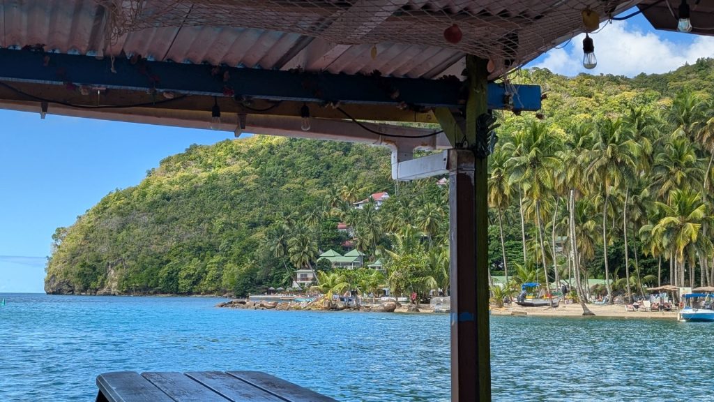
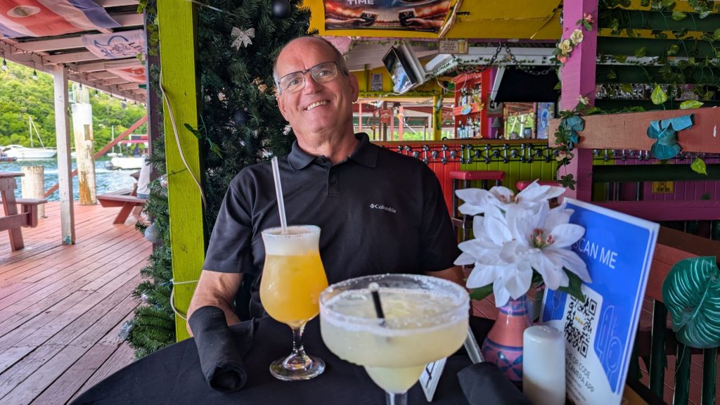
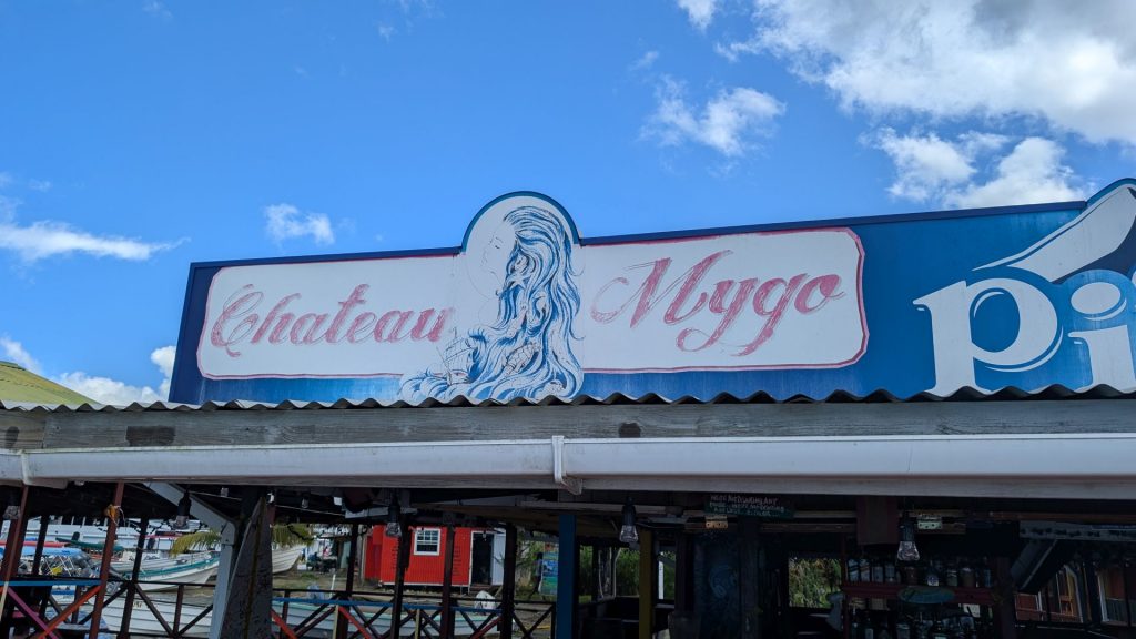
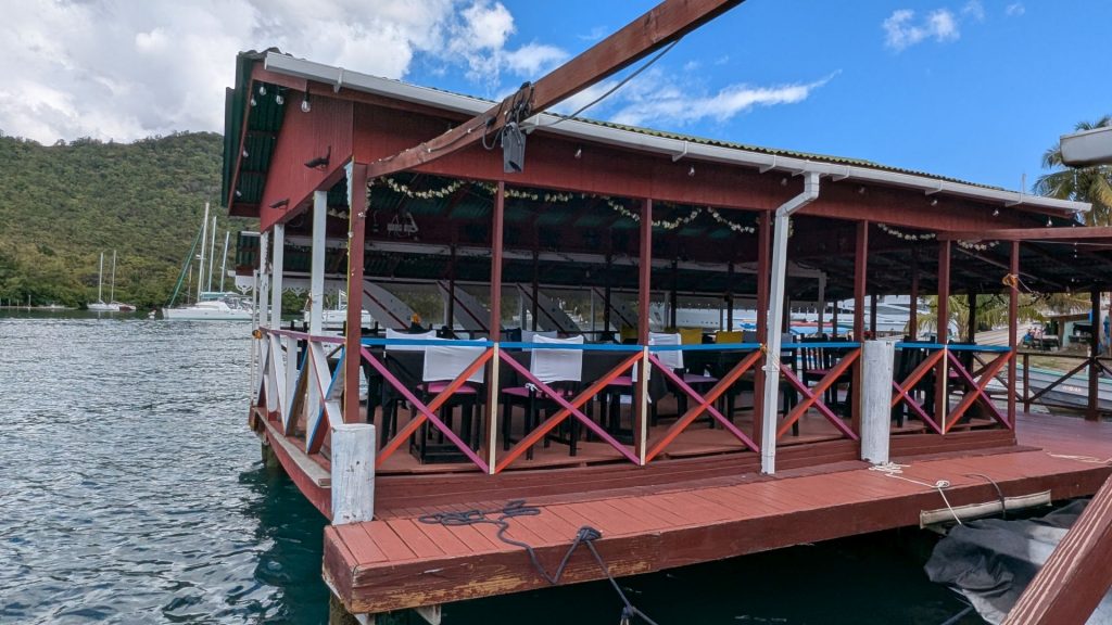
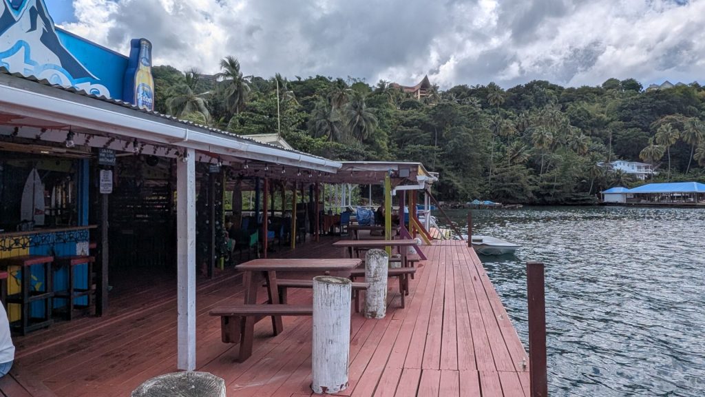
We had a great lunch with a fine view at Chateau Mygo. I had a burrito with black beans, rice and cheese. I don’t know what seasonings they used, but it was super yummy!
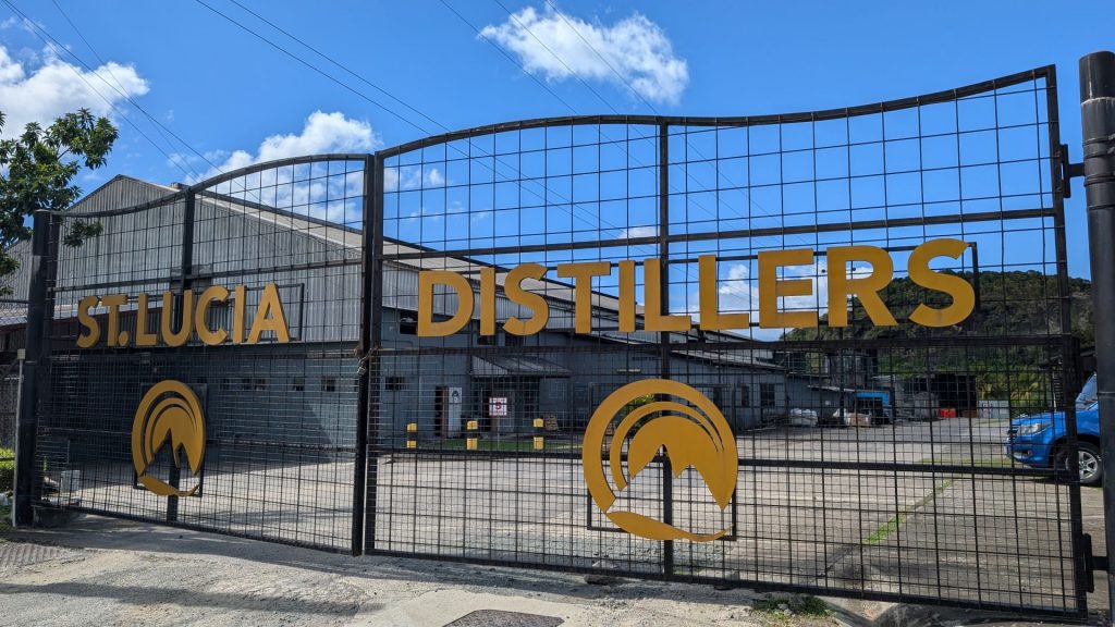
Now that our bellies were full we could go to the rum distillery. We went to St. Lucia Distillers, Ltd. The road to the place was in really bad shape and I wouldn’t have expected it to go to such a nice distillery. Anyway, we got there and they sent us to the tasting room. The woman working there told us a bit about the more expensive rums and a bit about the cheaper rums. Then she told us we could taste whatever we wanted to taste. There were about 20 bottles of rum! I poured what was no more than a half teaspoon in the glass so I could taste a lot of them.
We bought four bottles and left not feeling the slightest bit tipsy, which was certainly my goal as I was driving!
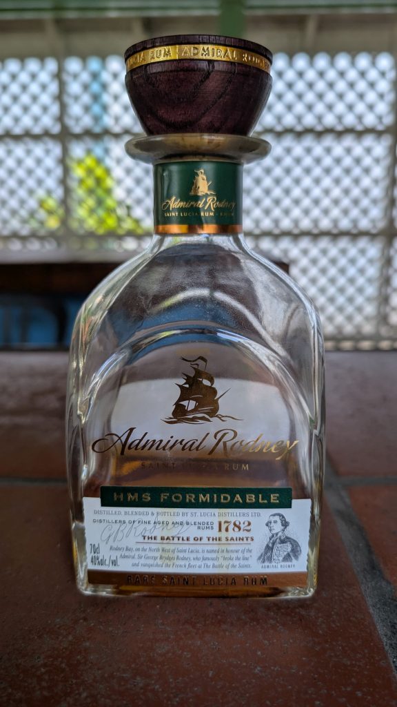
Here’s what we bought (these are the tasting bottles, we haven’t drunk that much!!):
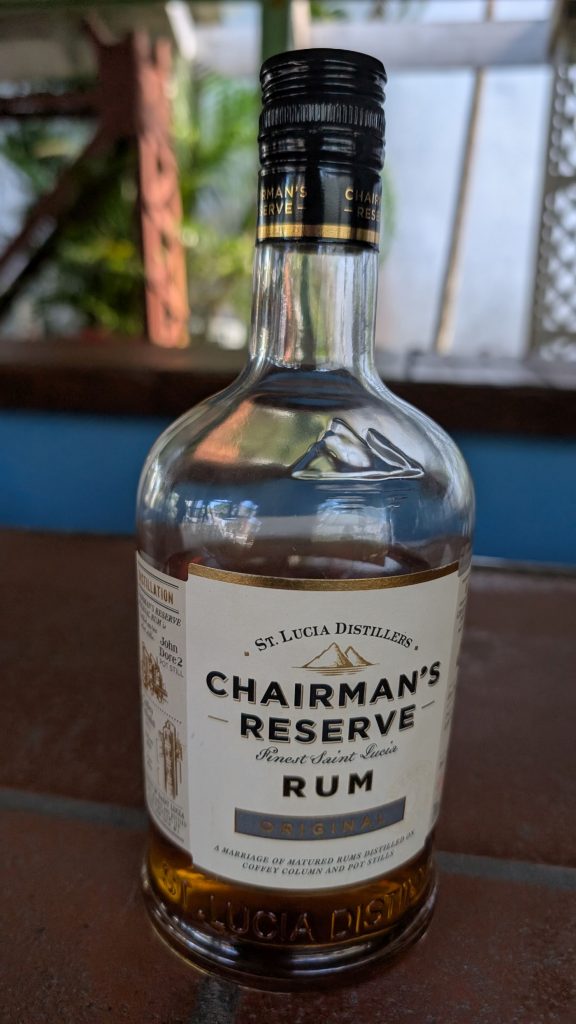
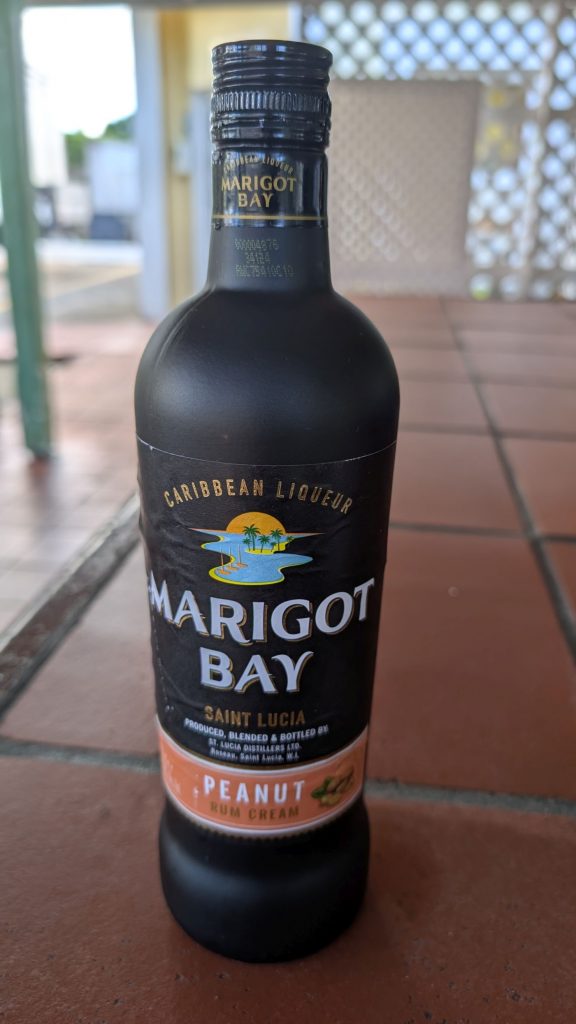
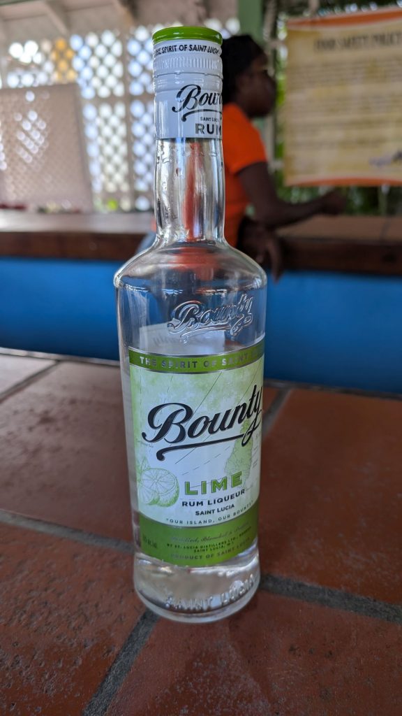
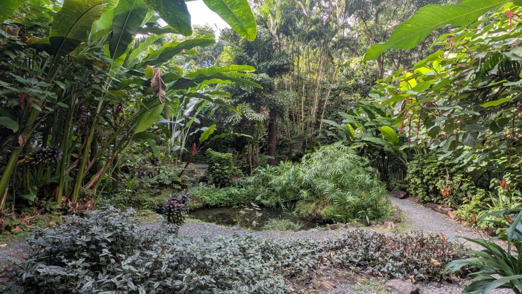
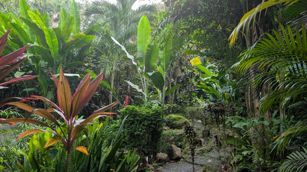
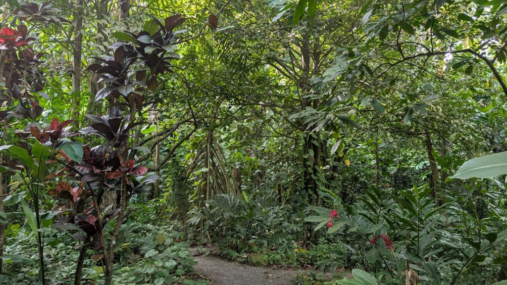
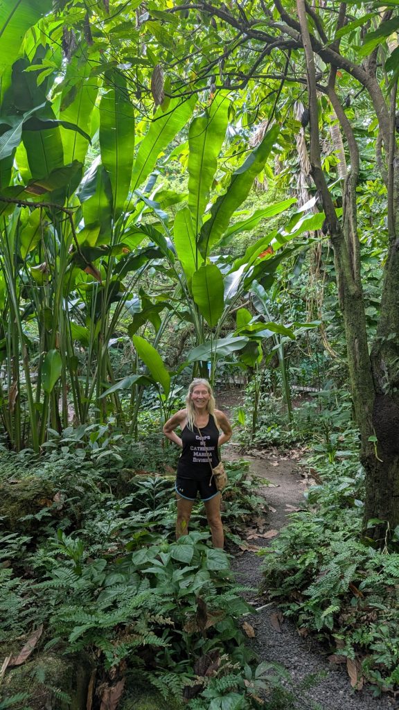
Our next stop was Diamond Falls Botanical Gardens. They are the oldest botanical gardens in St. Lucia. The gardens are located in the town of Soufrière, in the South-Western region of the island.
The Diamond Botanical Gardens, Mineral Baths and Waterfall are located in a portion of the 2,000 acres of land granted to three Devaux brothers by King Louis XIV of France in 1713, in recognition of their services to “Crown & Country.”
It is claimed that as a child, Empress Josephine, Wife of Napoleon Bonaparte, bathed in the original baths while spending holidays at her father’s plantation in Soufrière, called “Mai Maison.”
In 1928, Mr. Andre du Boulay, owner of Soufrière Estate and Diamond Baths excavated the site and restored two baths out of the original 12 that had been destroyed by the “Brigands” during the French revolution.
These baths are fed by the original spring water, similar to the waters of “Aix les Bains” in France. The original holding tank built in 1784 is still in use.
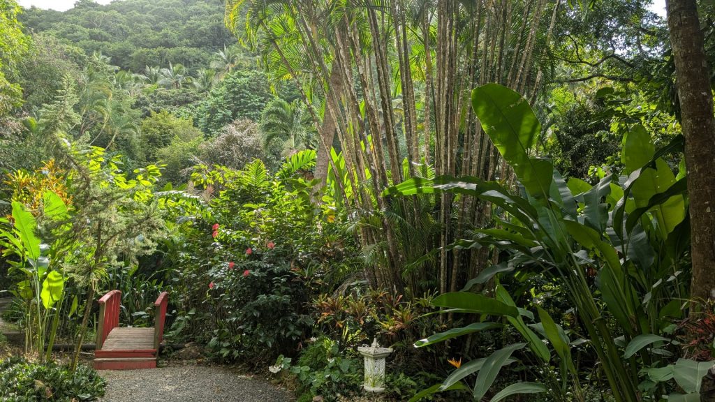
In 1983, on the death of Mr. Andre du Boulay, his daughter, Joan Devaux (du Boulay) became manger of this family property and began designing, restoring and planting the gardens people enjoy today.
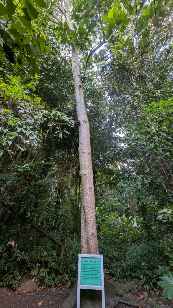
The tree pictured below is a Bois Bande, a famous Caribbean aphrodisiac and sexual stamina booster. Small pieces are cut from the bark of a mature tree and boiled with other herbs as a remedy for impotence. According to the sign it is now introduced into a liqueur called “Seventh Heaven” (which one can buy in the snack bar in the gardens).
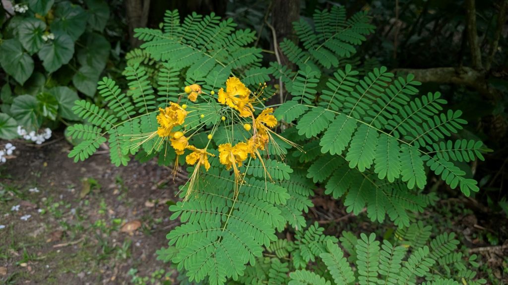
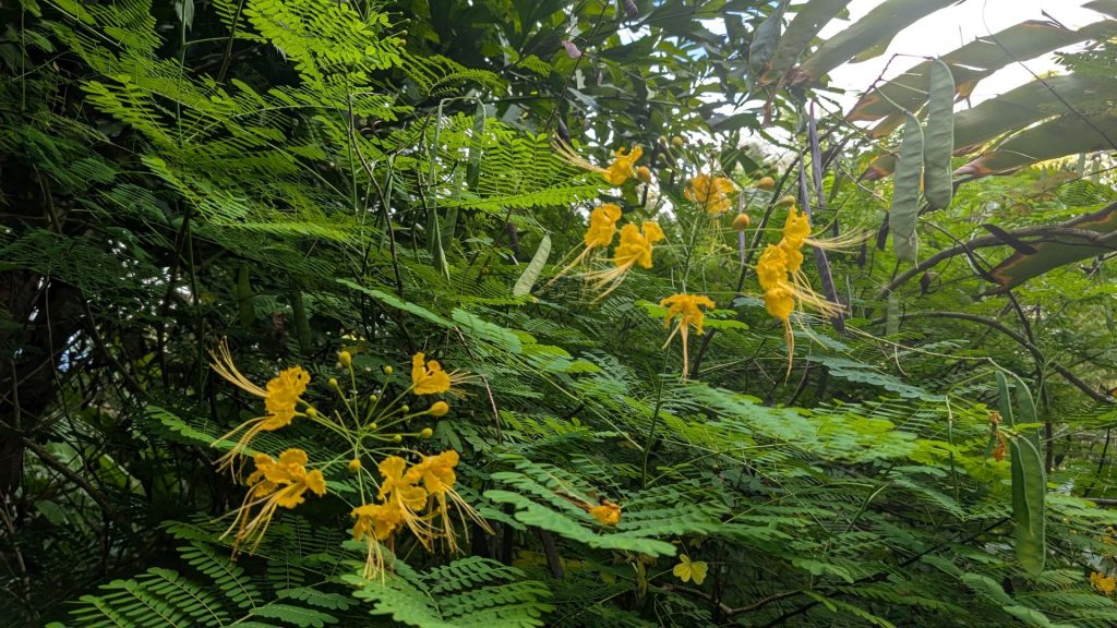
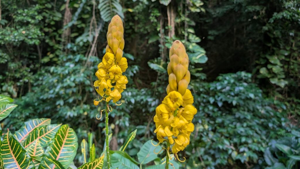
The yellow flowers below are Caesalpinia Pulcherrima Pride of Barbados. It is the national flower of Barbados.
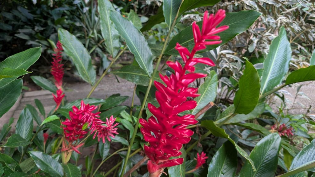
The pink flowers below are Etlingera elatior (also known as torch ginger). It is a species of herbaceous perennial plant in the family Zingiberaceae; it is native to Indonesia, Thailand, Malaysia and New Guinea. They can reach up to 15 feet. The flowers are used in decorative arrangements, and are an important ingredient in food (they have a sour-sweet flavor) across Southeast Asia.
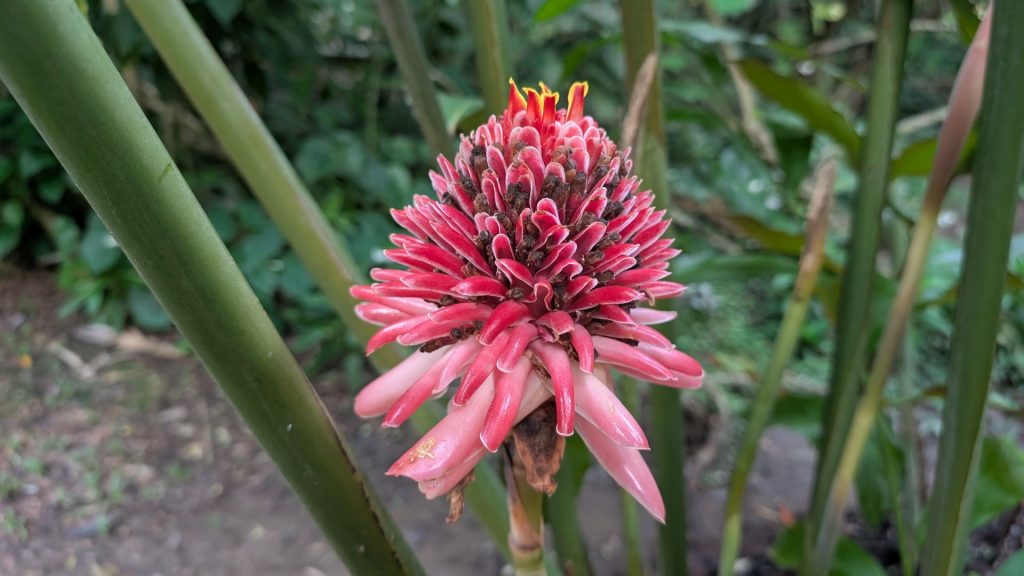
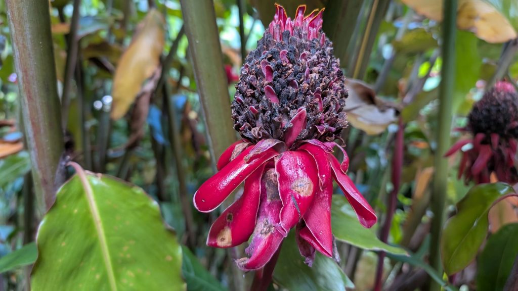
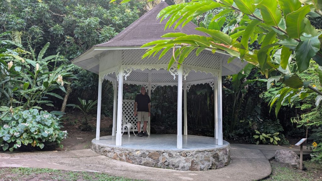
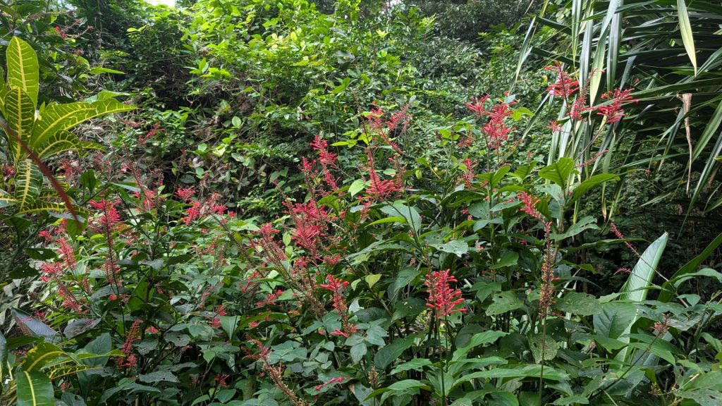
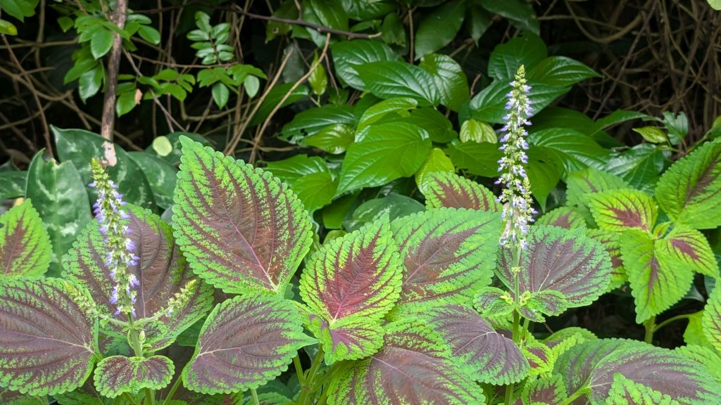
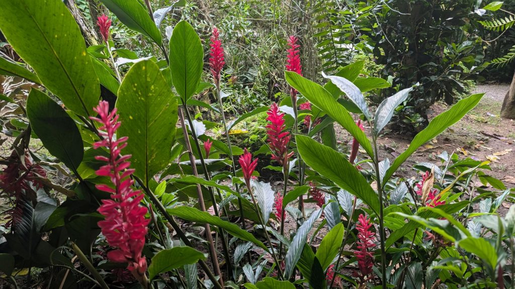
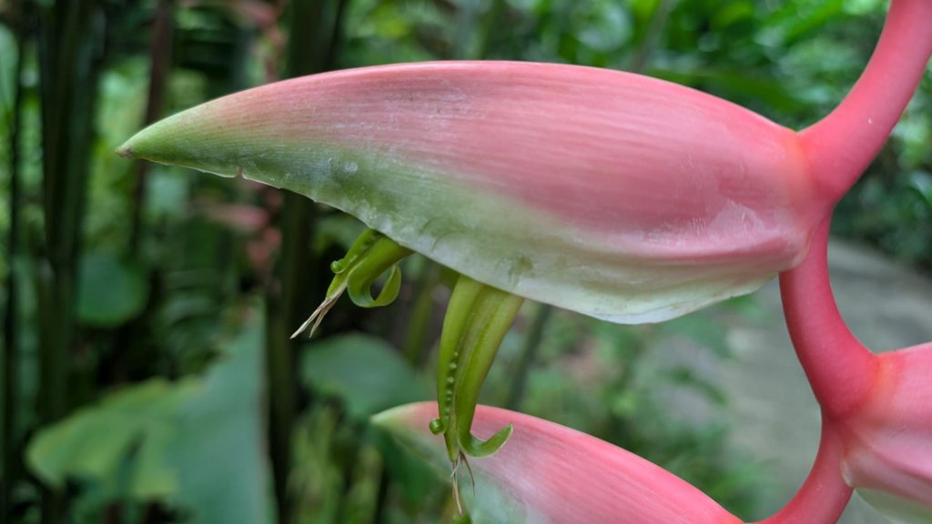
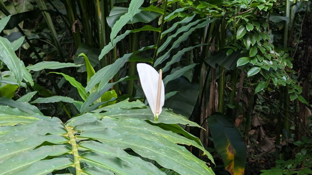
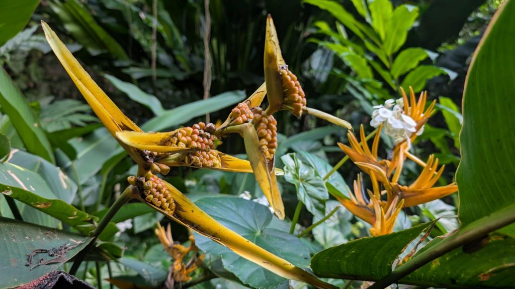
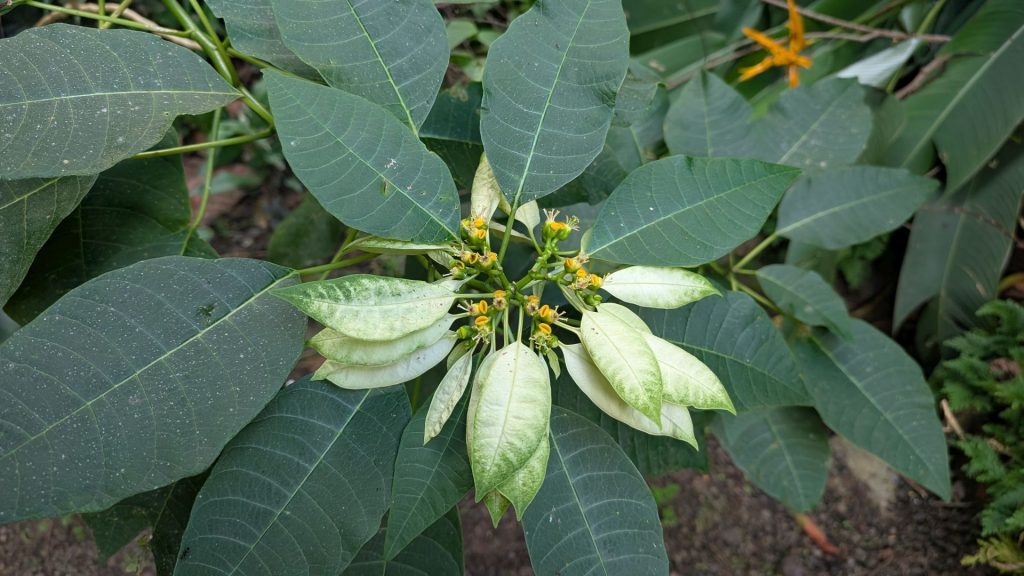
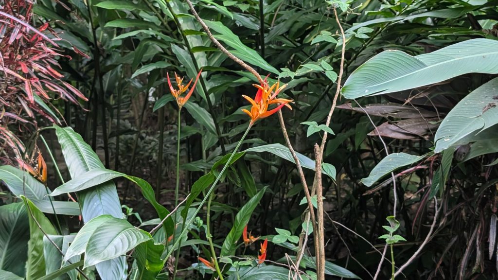
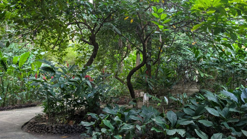
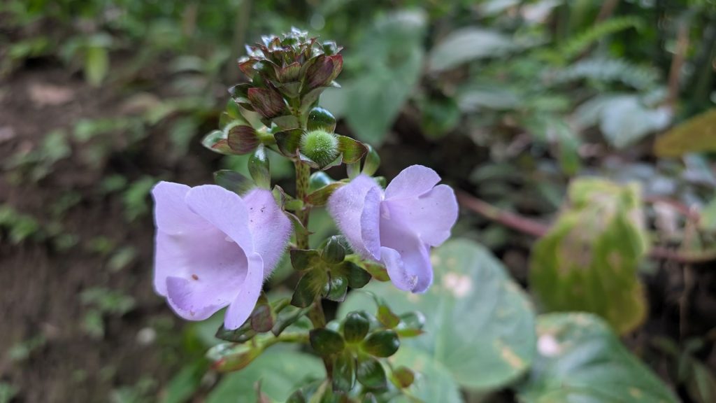
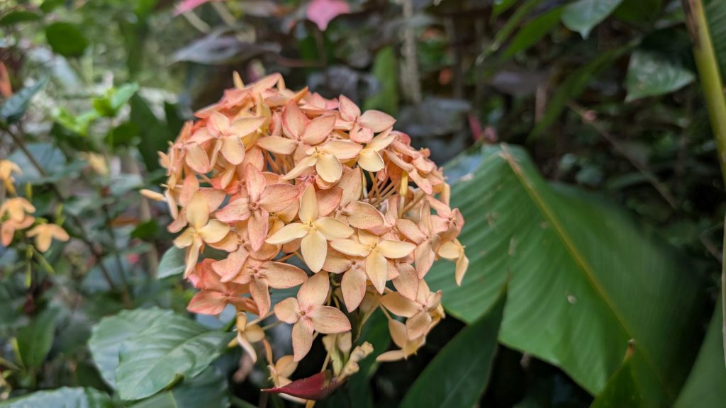
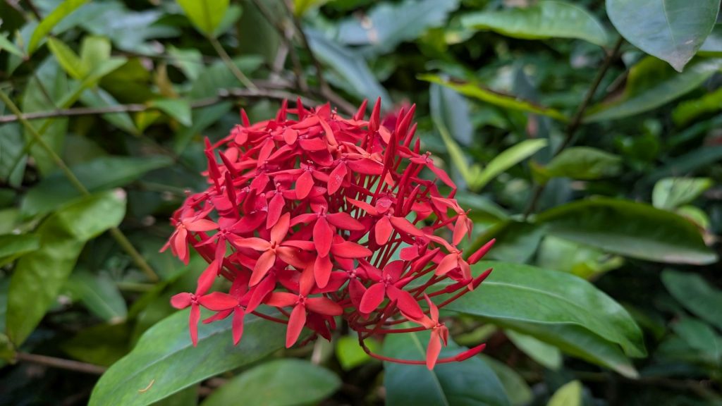
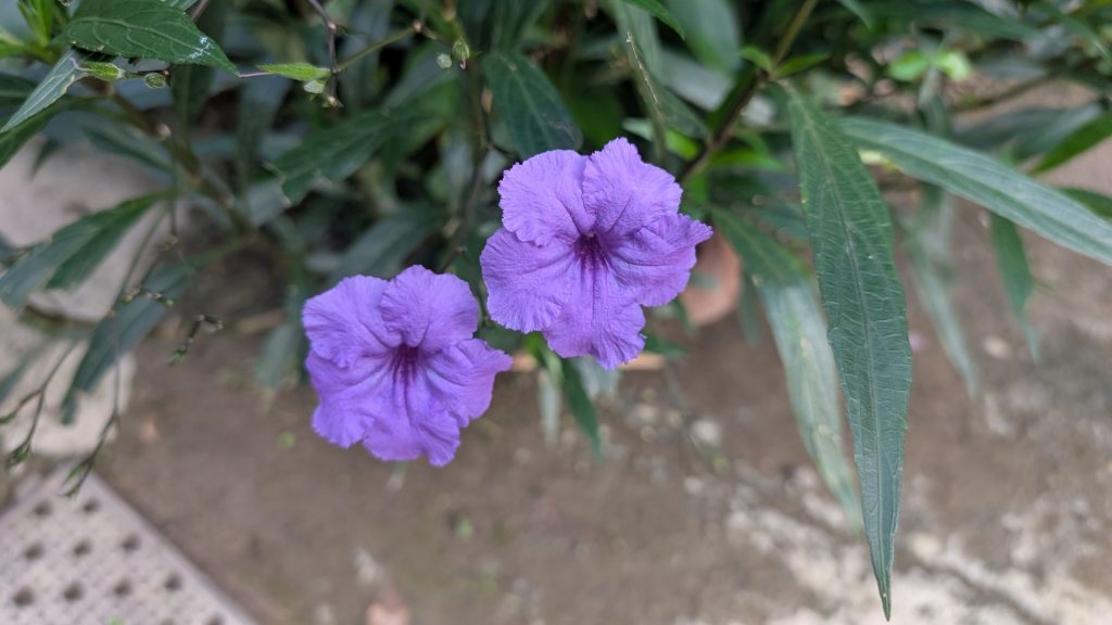
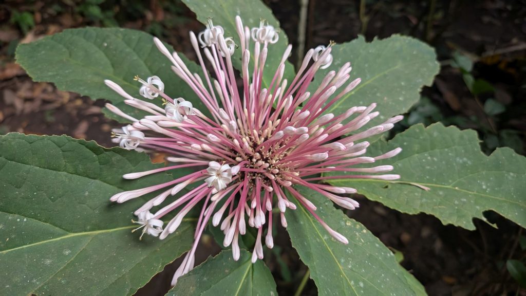
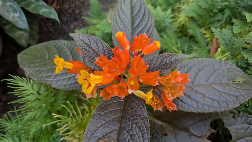
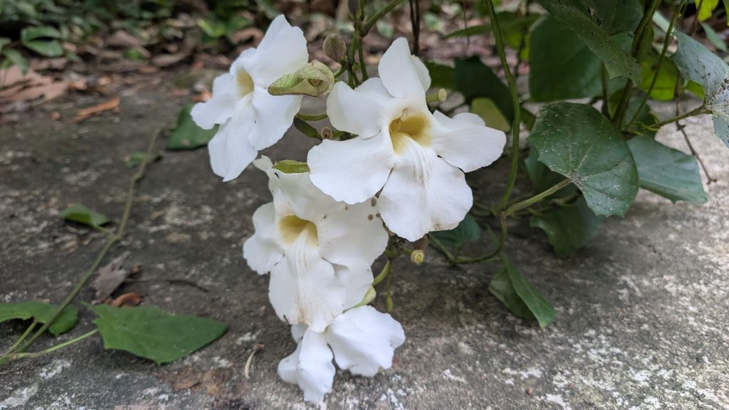
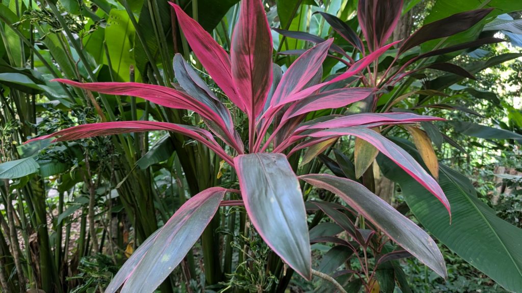
I didn’t always take note of the type of flower and/or didn’t see signs everywhere, so here are some pictures without descriptions.
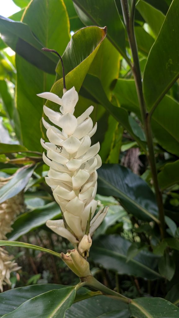
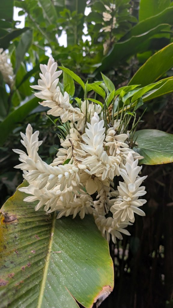
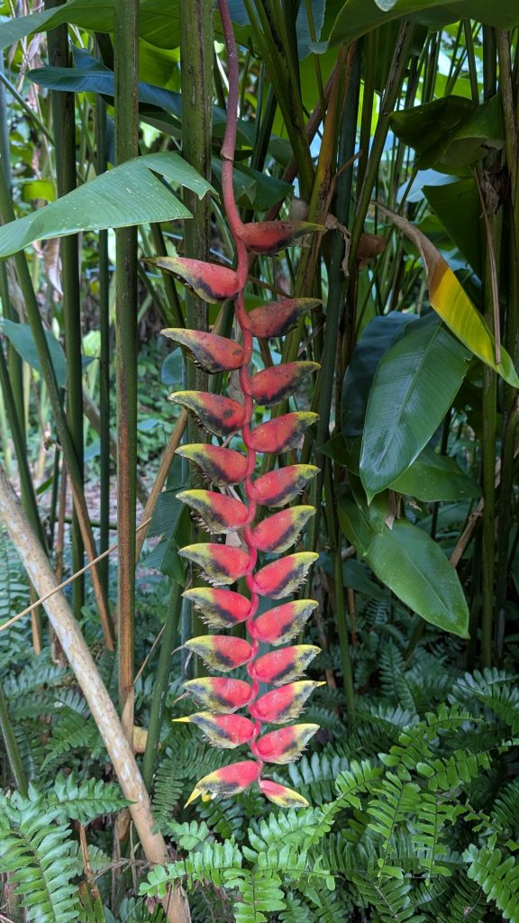
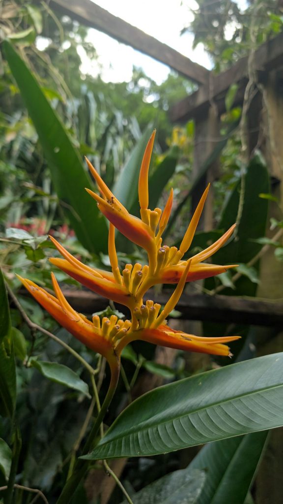
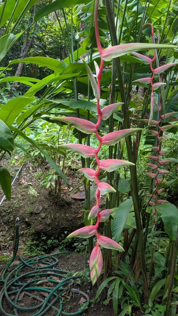
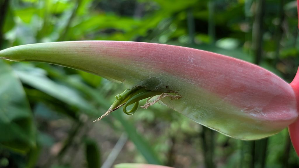
The pictures below are closeups of the plant pictured above. The green things look like bugs to me but they are plant matter.
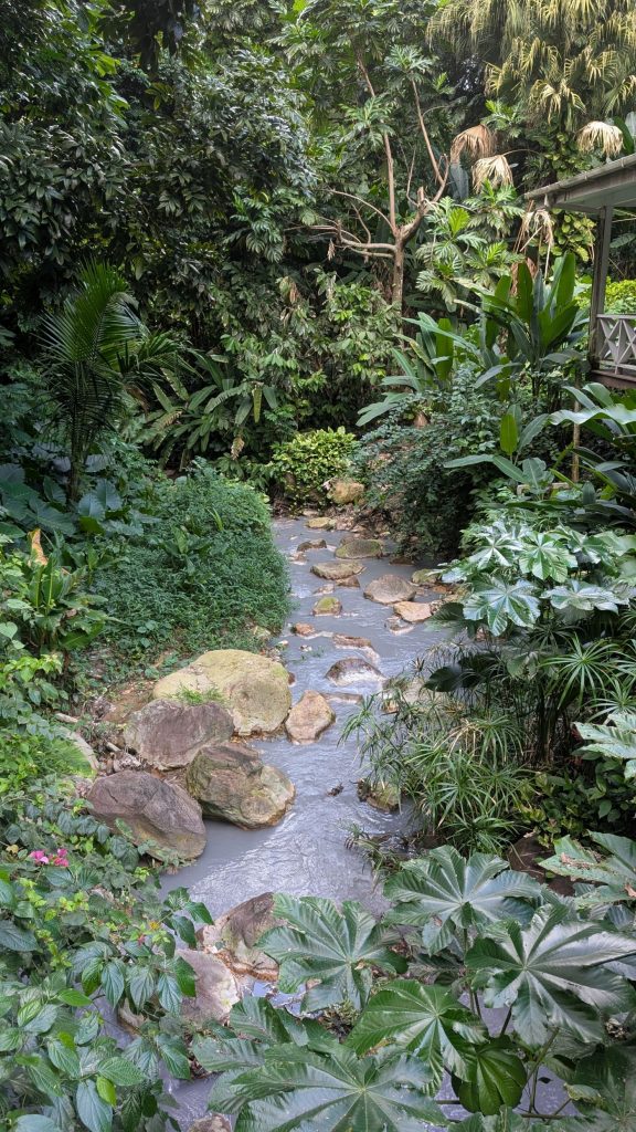
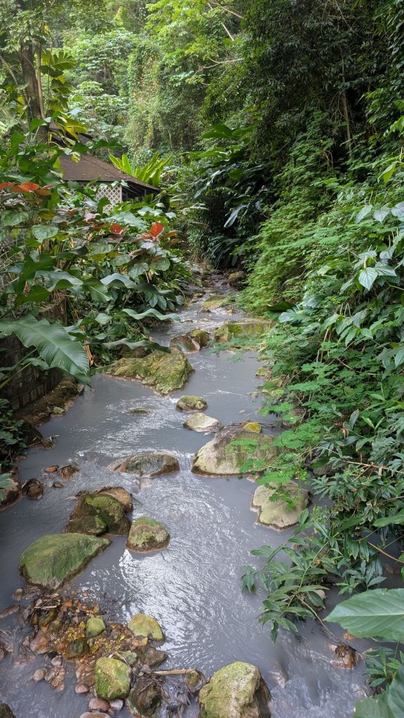
The Sulphur Springs from which the town of Soufrière derived its name, is part of a dormant volcano that last erupted in 1766. Sulphur Springs is an active geothermal area located roughly in the center of the caldera. Specifically, Sulphur springs sits at the intersection of two fault lines which traverse the center of a large steep sided volcanic depression, called “Qualibou” caldera, which is about 40,000 years old.
Yes, the water is really that gray. It is a result of the minerals in the water. It is pretty in a weird and unexpected way. I don’t recall ever seeing gray water like that before.
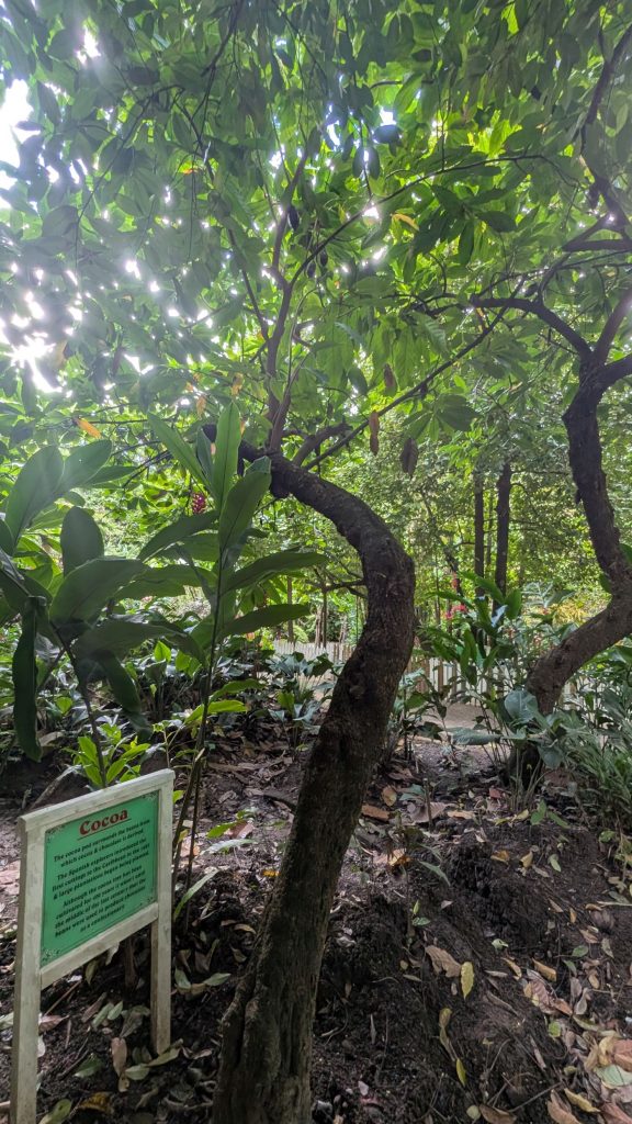
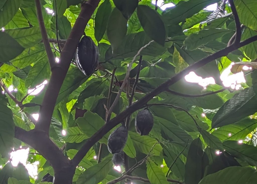
Pictured on the left below is a Cocoa tree. A closeup of the cocoa pods is on the right. The cocoa pod surrounds the beans from which cocoa and chocolate are derived.
The Spanish explorers introduced the first cuttings to the Caribbean in 1625 and large plantations were developed.
Fun fact: Although the cocoa tree had been cultivated for 400 years it wasn’t until the middle of the 19th century that the beans were used to produce chocolate as a confectionery.
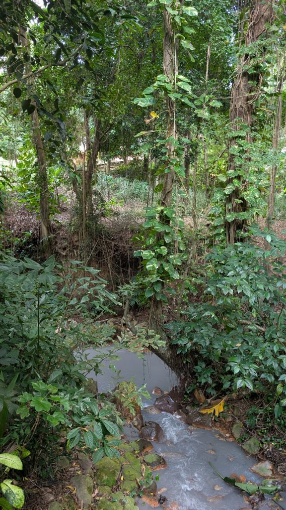
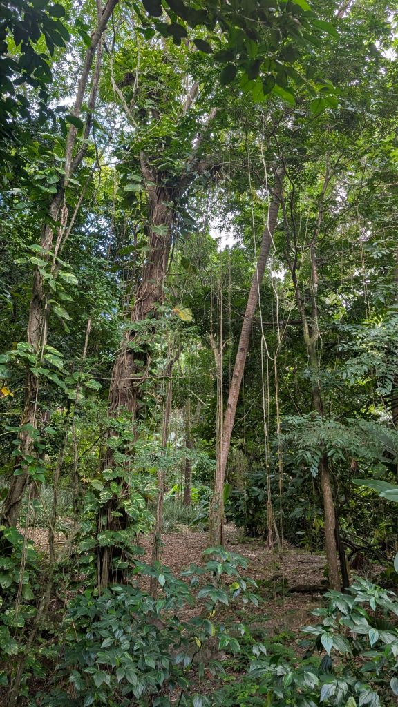
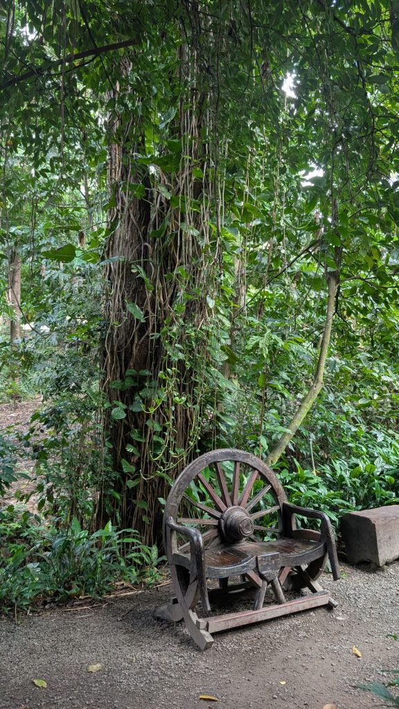
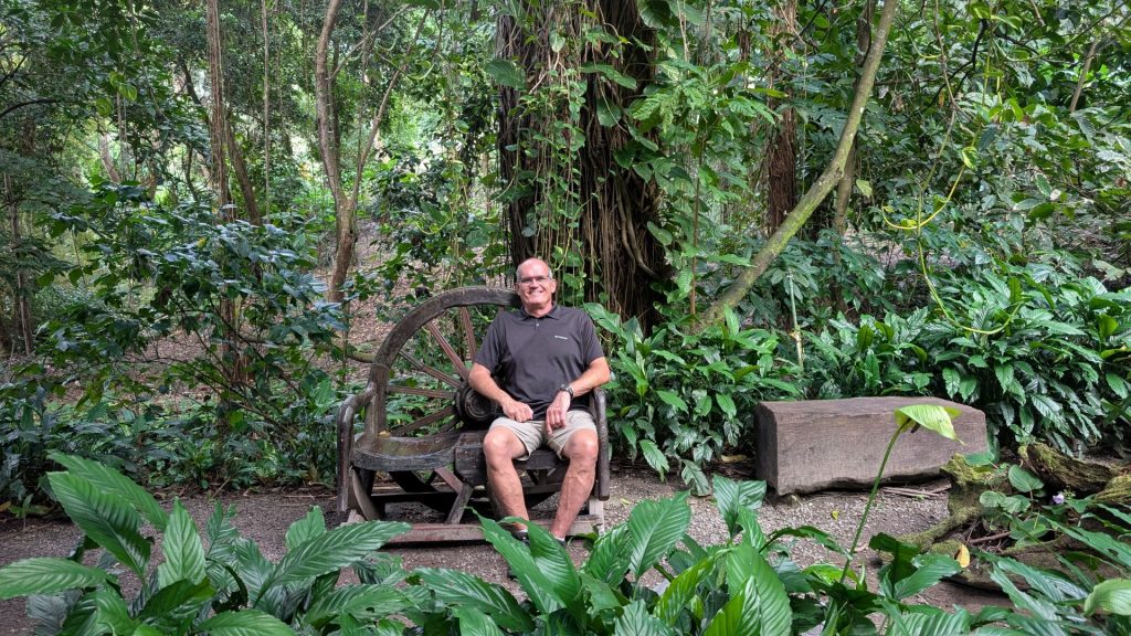
There were hundreds of vines hanging from the trees.
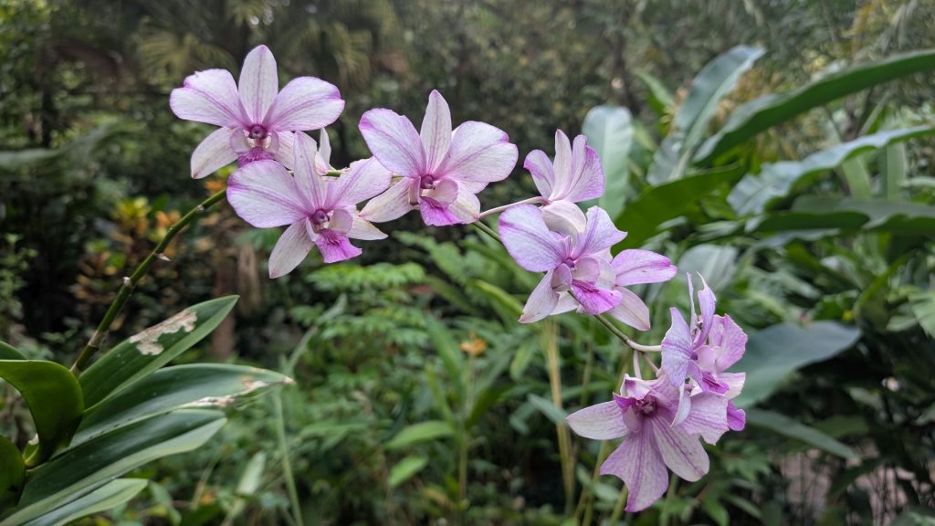
Pictured on the left below is the Moth Orchid. It comes from the Phalaenopsis genus, a genus of about seventy species of plants in the family Orchidaceae. There is an island off of Taiwan named after this orchid. It is a symbol of love and respect in Taiwanese Culture.
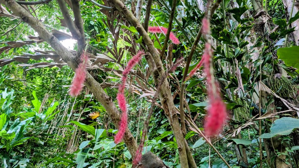
On the right-hand side below, we see a sadly blurry picture of Acalypha hispida (Red-Hot Cat Tail). This plant is dioecious and therefore there are distinct male and female members of the species. The female bears pistillate flowers which are 0.7 millimeters long and range in color from purple to bright red. These grow in clusters along the catkins, which hang like tails, thus the name.
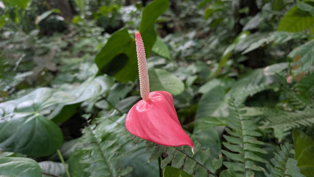
The Anthurium Lily pictured below is a particularly attractive and exotic looking flowering plant. It can grow to a height of three feet. There are two types of Anthurium lilies within the gardens, the common variety and the hybrids. Both varieties have a heart shaped waxy bract called a spathe, from which a cylindrical spadix extends from the center. The flowers of the common variety are pink where the hybrids have numerous color variations such as red, white, green, peach, and pink, and the flowers are generally much larger.
You reach the waterfall at the end of the garden. It is quite beautiful, with a lovely setting.
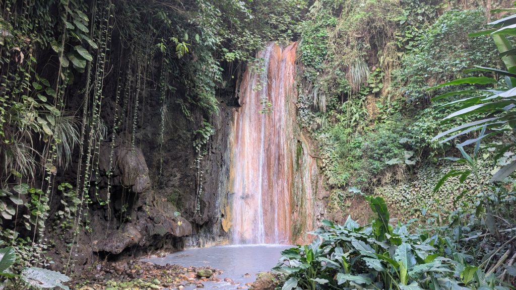
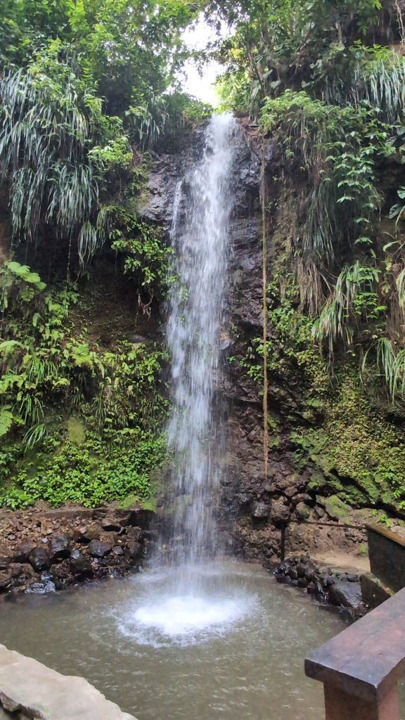
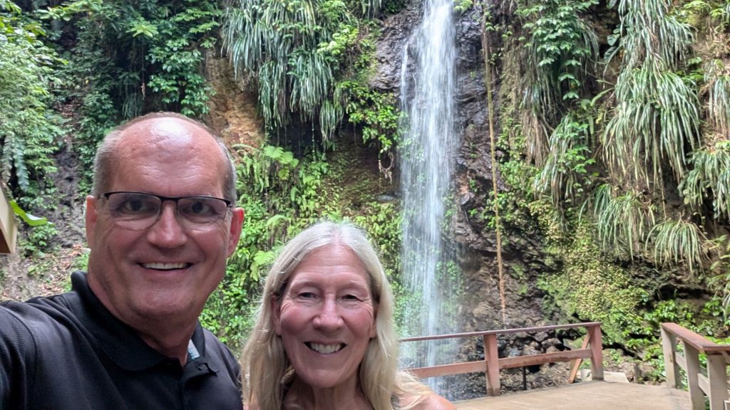
We drove to the last sightseeing stop of the day: Toraille Waterfall. It is a nice little waterfall – a 50 foot drop. (Once you’ve been to Iceland, all other waterfalls seem to pale in comparison. . . which isn’t really fair to the other waterfalls.)
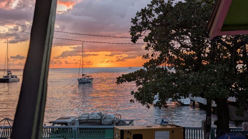
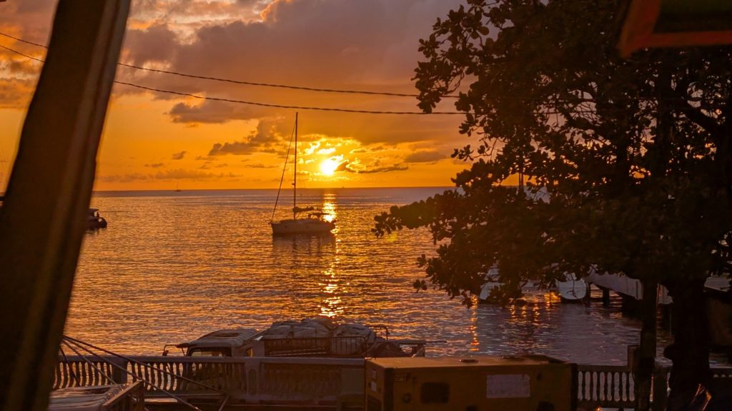
After checking into our hotel, we went looking for a restaurant to eat dinner. It took several tries to find one that was open and serving food. We ate at the Belle Vue Restaurant. The food was good (we both pad a penne pasta dish) and the waiters were really friendly. This was the view from our table:
We wanted to get back to the hotel before dark (we were told not to walk in the dark in St. Lucia) and we just made it! Whew!
I will share the last day of our road trip in the next post. It will be very short.
