This, my friends, is The Ring of Kerry (the white route):
We started and ended the Ring of Kerry in Killarney, driving in a clockwise direction. We’d read that it can take 3.5 hours to drive the Ring of Kerry without stopping. We stopped quite a bit, walked around, took pictures, and ate lunch. It took us about eight hours.
The main points of interest for us were:
— Torc Waterfall
— Kenmare Stone Circle
— Kerry Cliffs
As such, these are the focus of the pictures of today’s post.
Torc Waterfall
There was a short hike to the waterfall. I went a bit beyond it, which was pretty much a steep climb. There wasn’t much to see due to the heavy foliage, so I turned around after about 10 minutes. The hike was pretty and uber green, as per the UK and Ireland’s usual look. The waterfall wasn’t big, but we still enjoyed it.
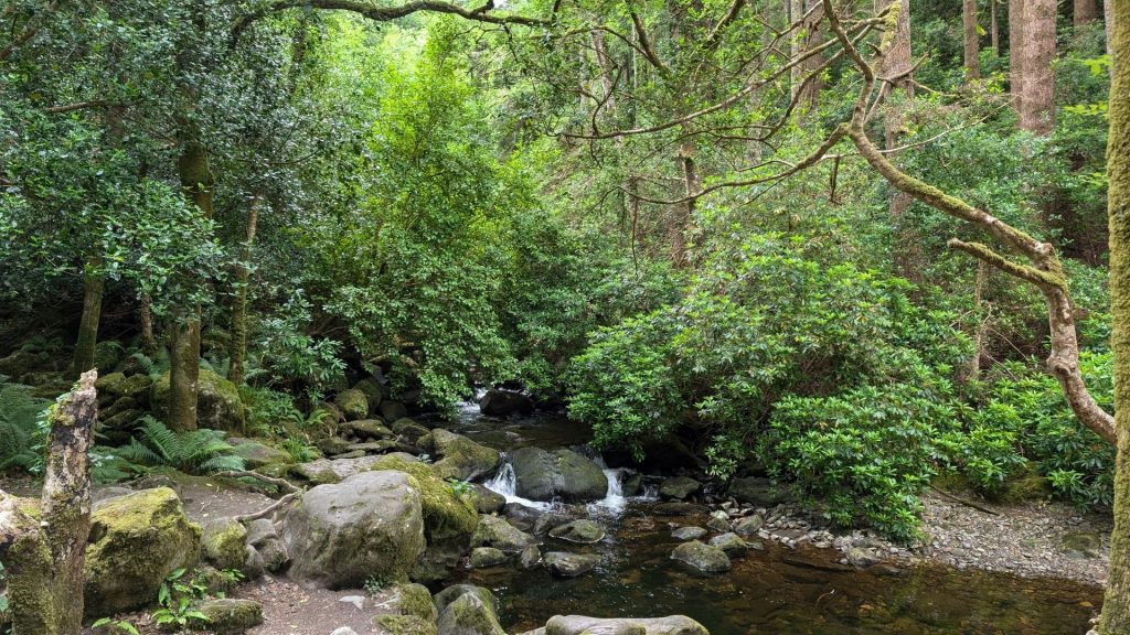
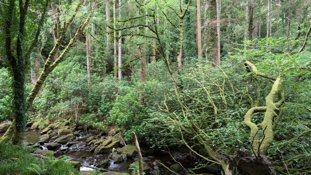
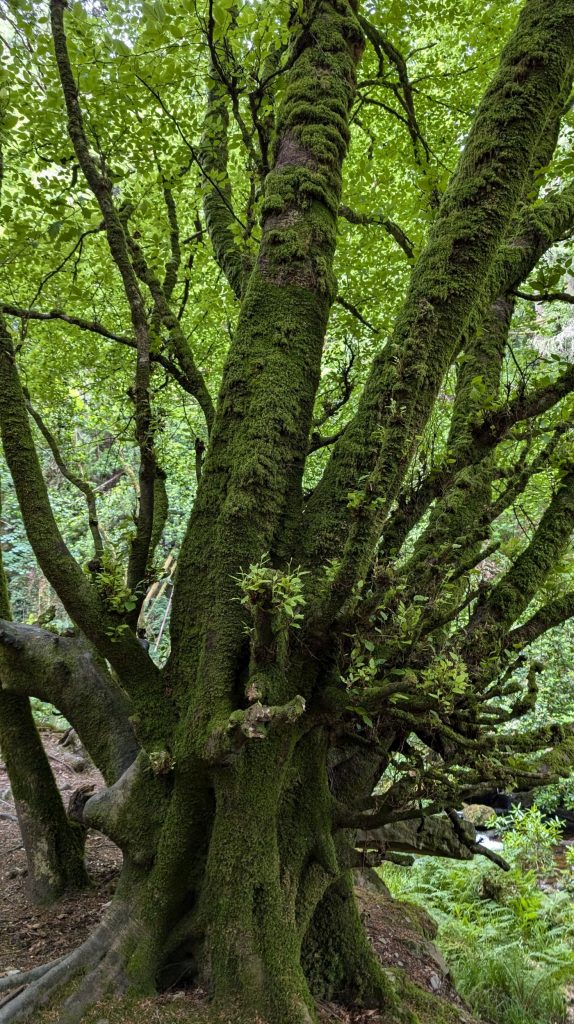
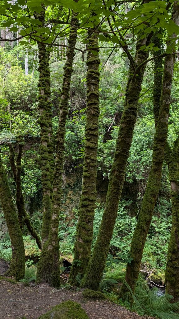
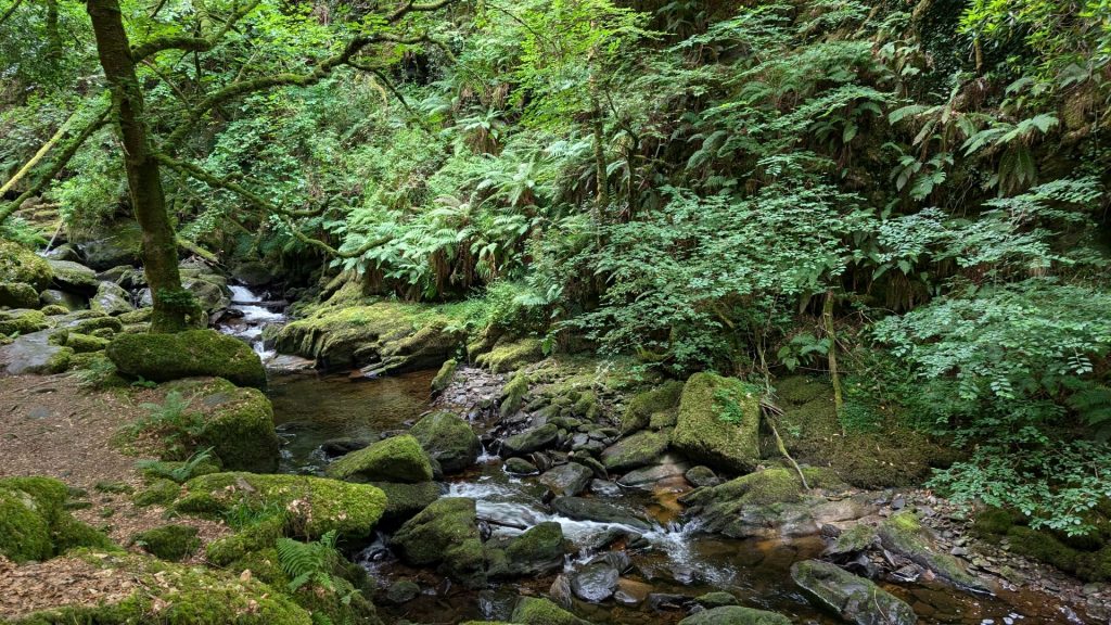
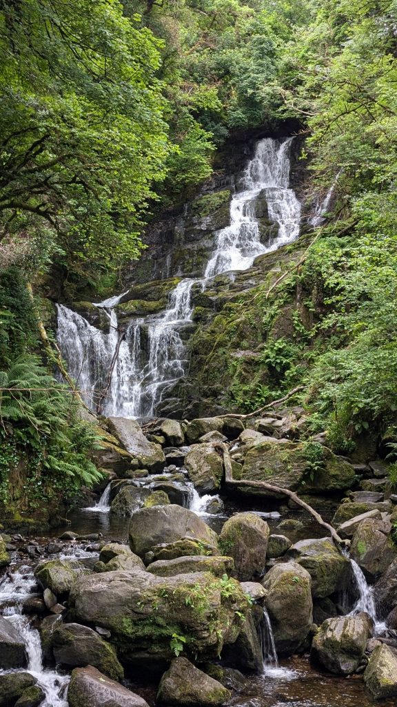
We continued on our way, stopping frequently to soak up the views and take pictures.
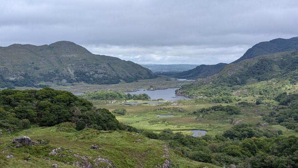
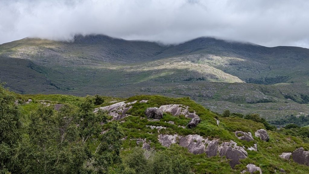
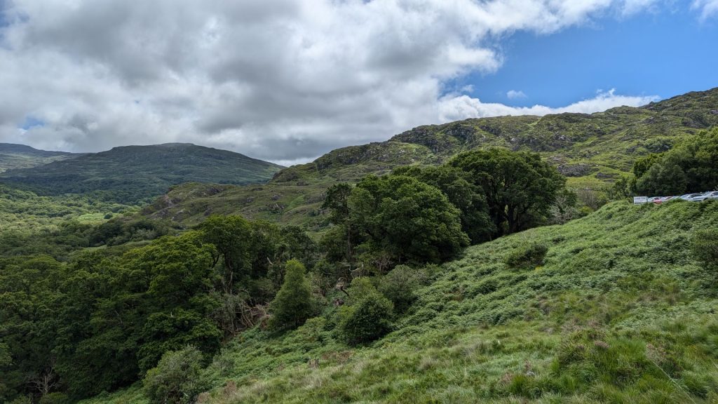
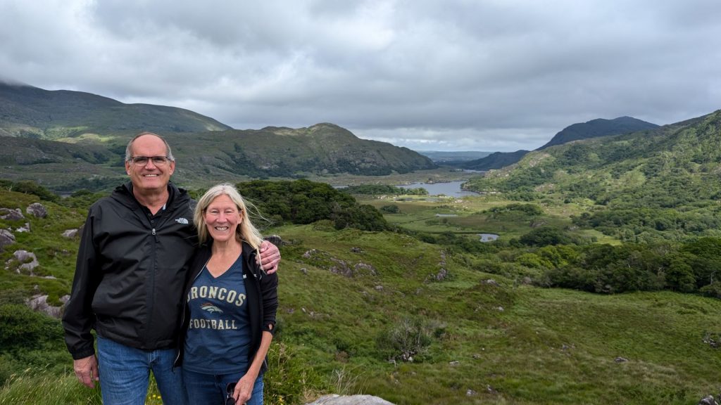
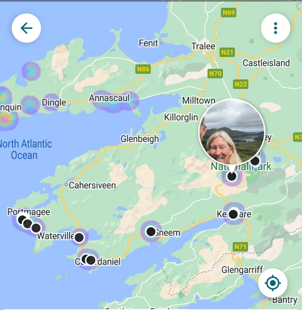
We were only this far into the route at this point:
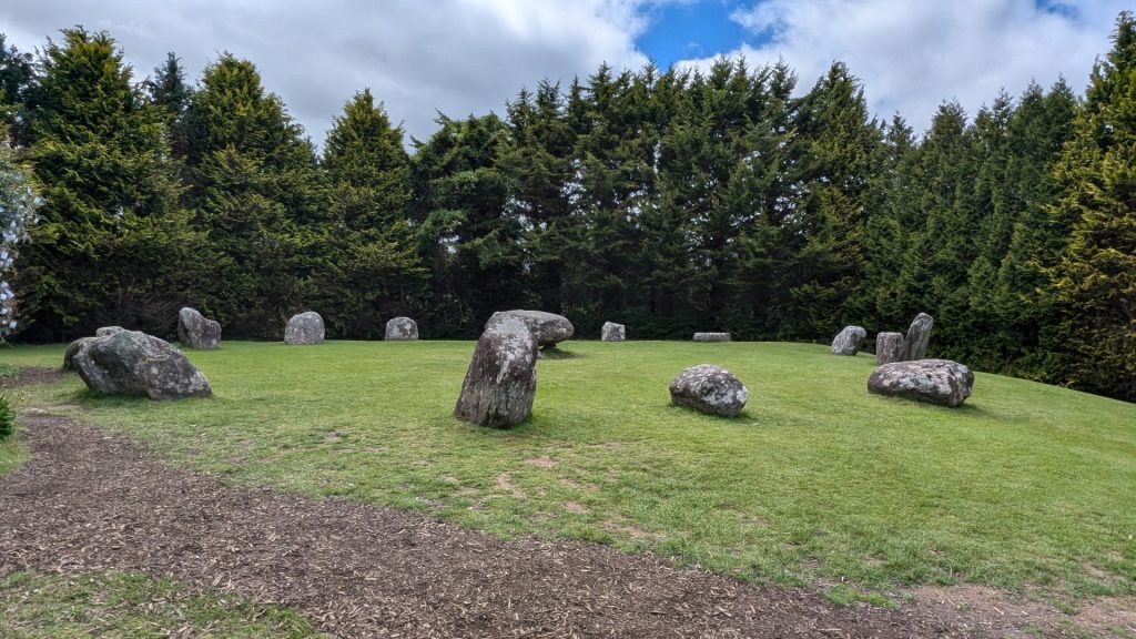
Kenmare Stone Circle
From https://theringofkerry.com/kenmare-stone-circle:
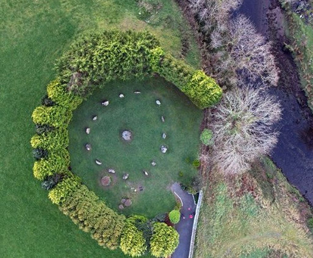
“The Kenmare stone circle is one of the largest stone circles in south West Ireland measuring 17.4 x 15.8m (56 x 49ft) and unlike any other ring in Muster, this one is egg-shaped. Stone Circles were built during the bronze age (2,200 – 500 B.C.) believed to be for ritual and ceremonial purposes. They were often orientated on certain solar and lunar events, such as the position of the sun on the horizon on a solstice. The Kenmare stone circle is composed of 15 heavy boulders, At the centre is an impressive Boulder-Dolmen with a giant capstone (2m x 1.8m ). Dolmen’s often marked the burial place of someone important. This style of burial appears to be restricted to the south Munster area, with apparently just one elsewhere in Ireland.”
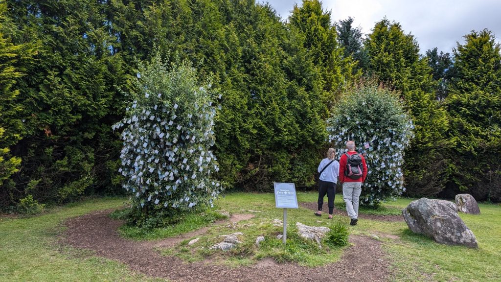
Next to the circle are Hawthorn Fairy Trees. From https://www.kenmarestonecircle.com/hawthorn-fairy-tree:
“The Hawthorn tree is traditionally seen in Ireland as a tree which brings good luck to the owner and prosperity to the lands where it stands. Nobody cuts a Hawthorn tree as it is believed that the tree represents a meeting place between worlds for mortals and that of the fairies in the other world. Indeed, many roads in Ireland have been diverted to avoid cutting one down.
People leave prayers, gifts or a personal token of some kind attached to the tree branches in the hope of receiving healing, good fortune or having their prayers answered.” Yes, I left prayer.
I tell you, we’d almost given up on finding the circle. It is borderline hidden! We drove to what appeared to be the intended spot. No circle. We were just about to leave town when we decided to try again. This time we hit the jackpot.
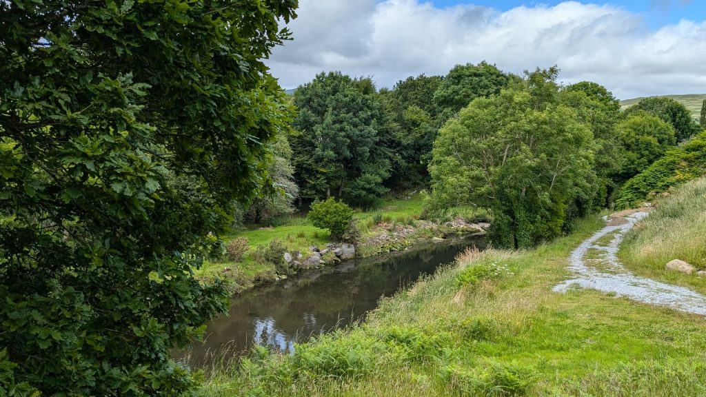
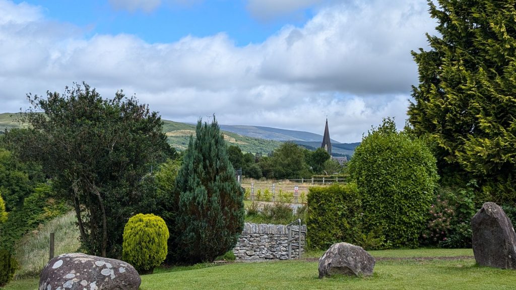
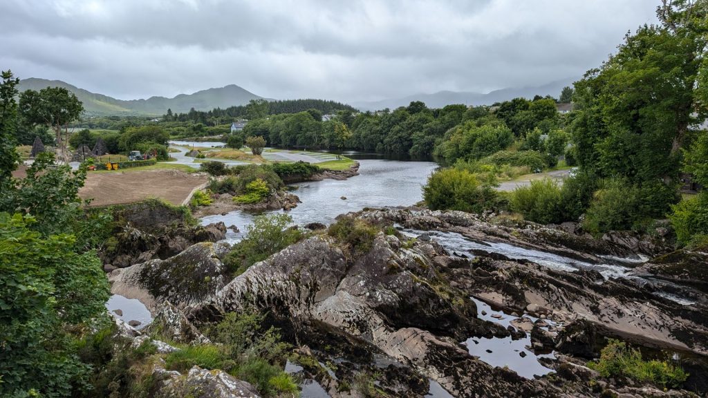
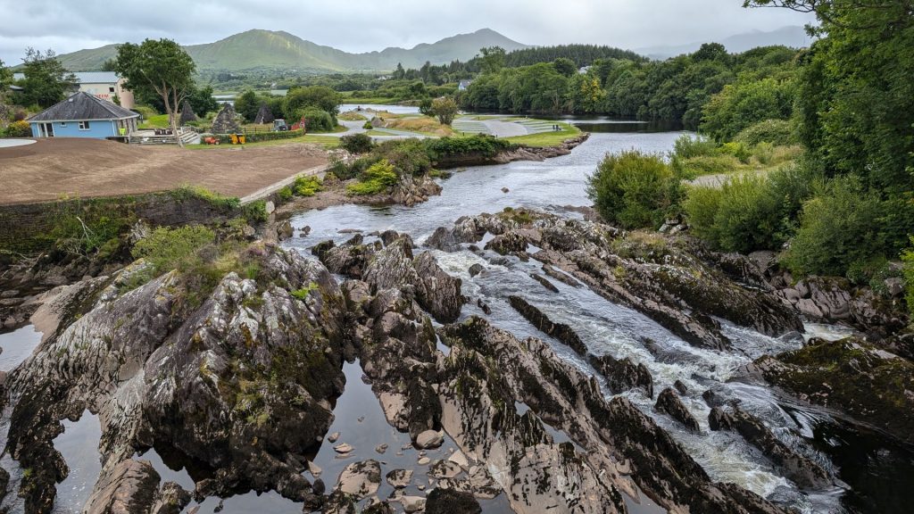
We ate lunch in Sneem. I love that name. Sneem. Ha ha! There was a pretty view from the town. The water was running rather quickly through these rocks to the lake.
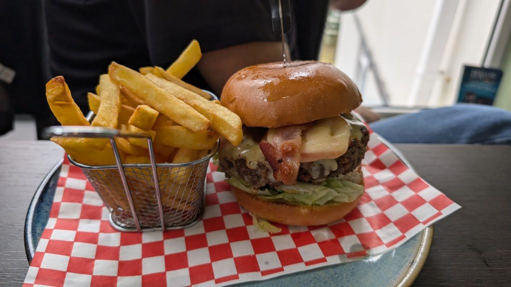
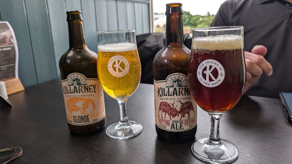
The lunch was good. For some reason I took a picture of Michael’s. Not mine. Maybe it was the size of his burger.
We continued on our way.
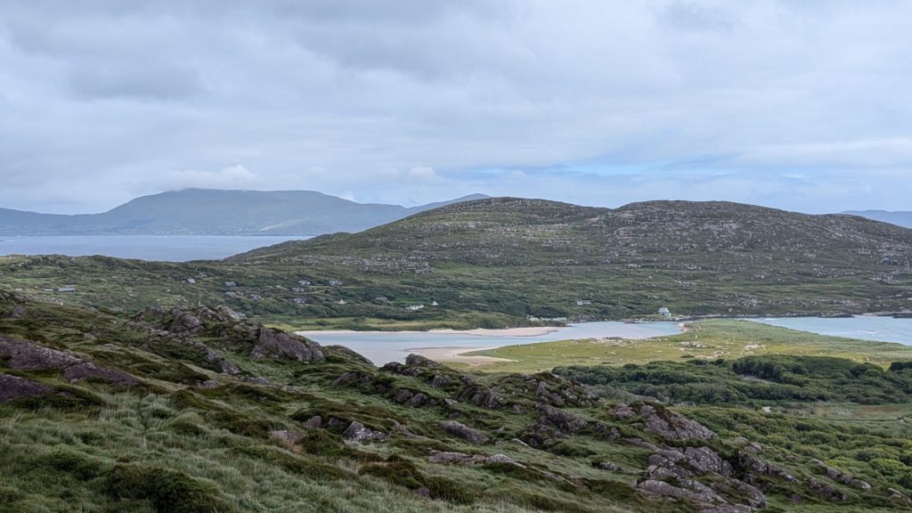
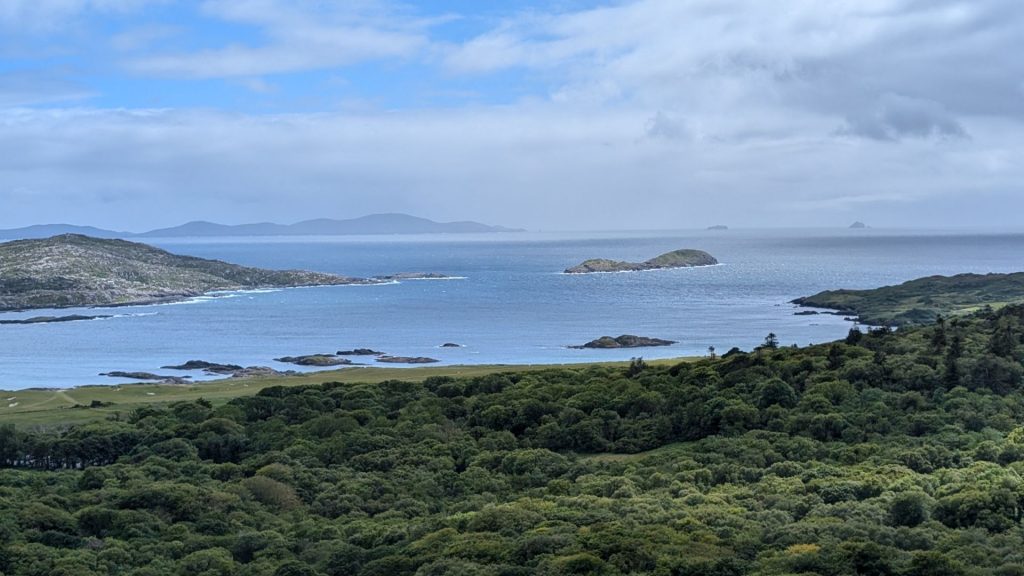
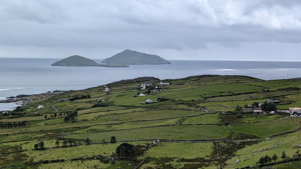
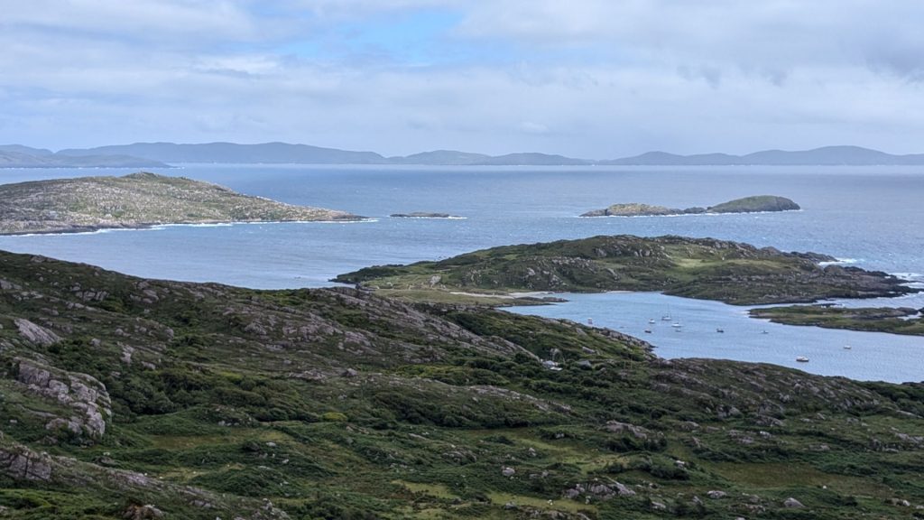
We were at this point in the ring by now:
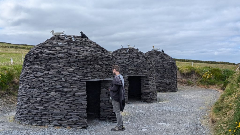
The picture on the left below is the Beehive Village. Beehive Huts or Clochans are dry stone buildings dating from c. 2,000 B.C. They are usually round in shape, but rectangular huts are also well known. What gives these huts their distinctive appearance is a building technique known as corbelling i.e., the layering of stones, with each layer bending slightly closer and narrower towards the peak. Stones were laid with an outward and downward tilt to shed the water, thus making the huts watertight. The walls of the huts are very thick, up to two feet.
Beehive Huts appear to have been used for habitation. In the early middle ages (c. 500-c. 1000 A.D.) they were built to house monks and visiting pilgrims from abroad. Some of the huts are found in group clusters indicating that they housed small settlements of people.
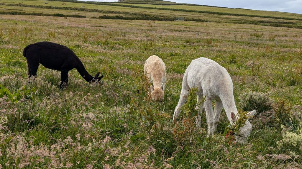
These are examples (below left) of the Beehive Huts found at Skellig Michael. The picture on the right is of newly sheered animals.
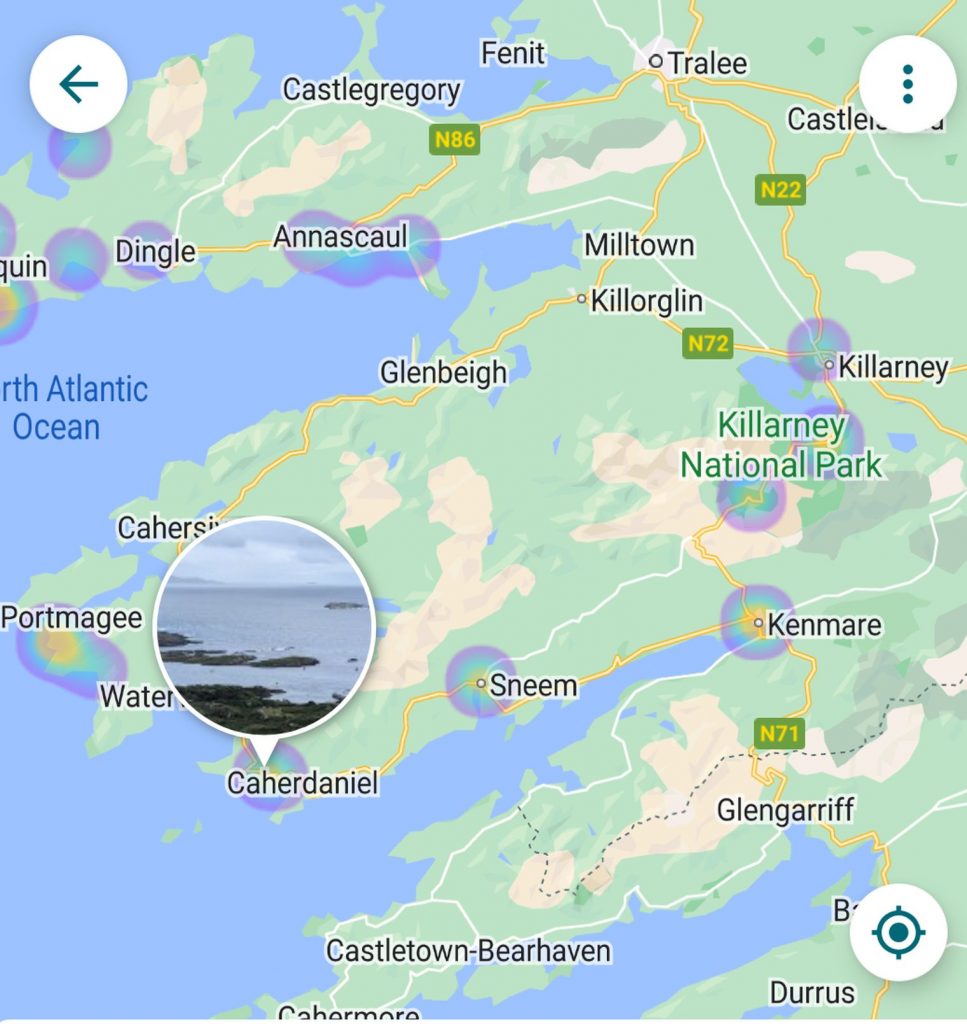
We now reached what ended up being our favorite part of the Ring of Kerry: The Kerry Cliffs. They are located here:
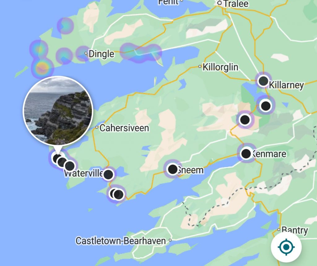
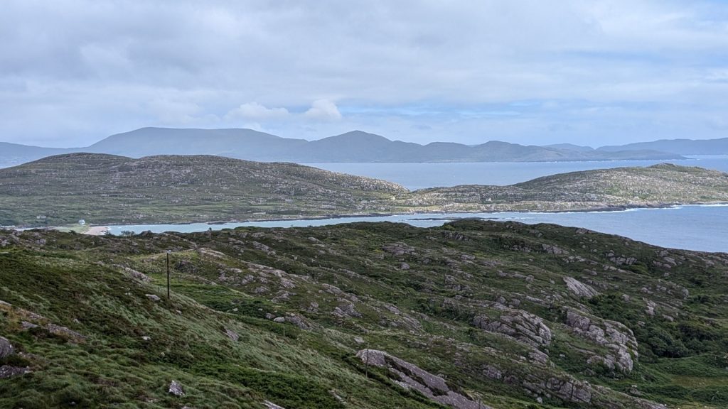
The Kerry Cliff’s are widely regarded as one of most stunning cliffs in the country. The cliffs stand over 1,000 feet above the wild Atlantic and were formed in a desert environment 400 million years ago. The cliffs boast spectacular views of the famous Puffin Island and the amazing Skellig Rocks, one of only three UNESCO world heritage sites in Ireland.
I took lots of pics of the Kerry Cliffs and the surrounding area.
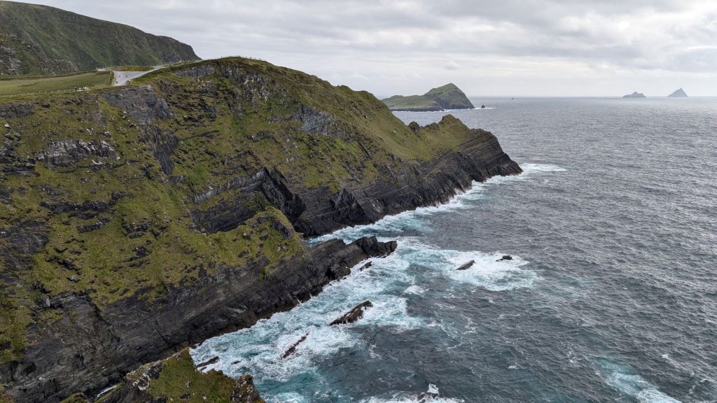
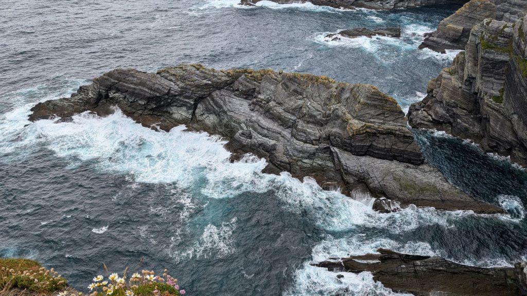
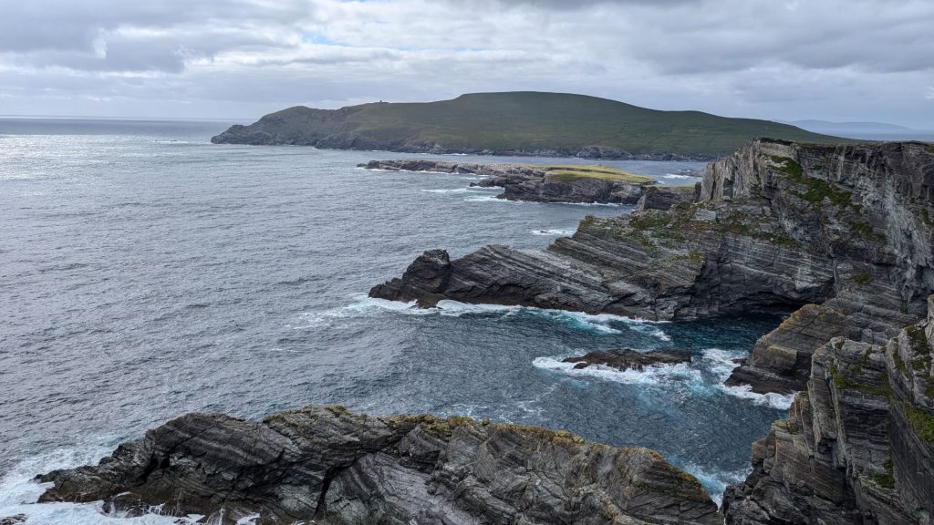
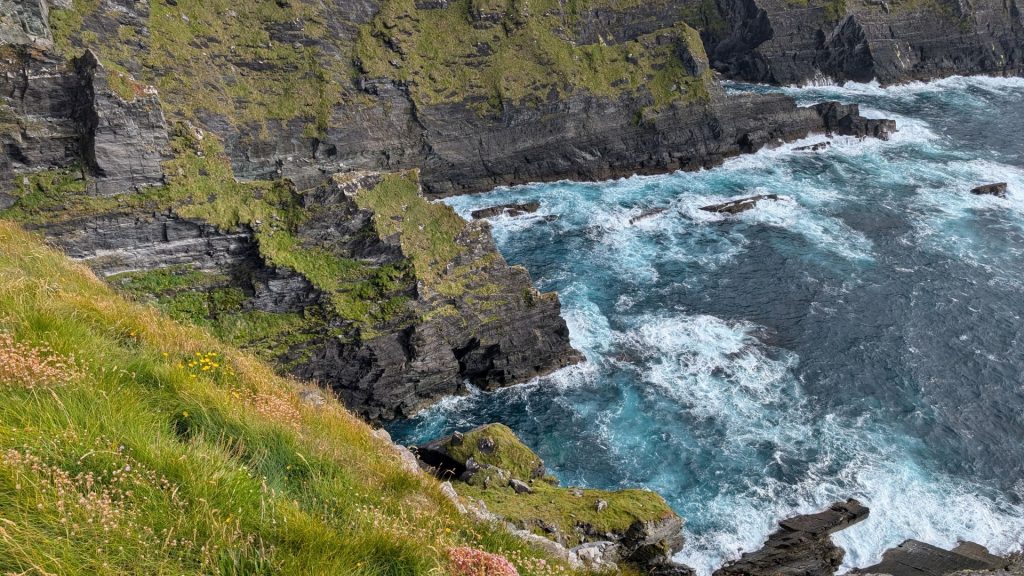
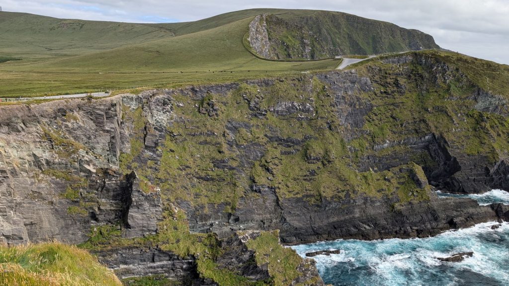
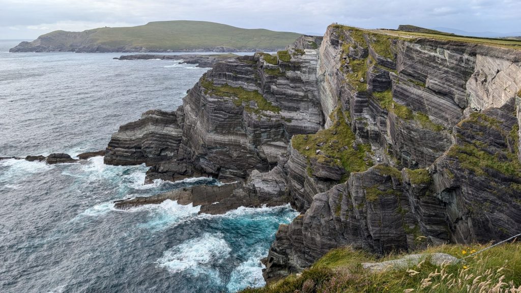
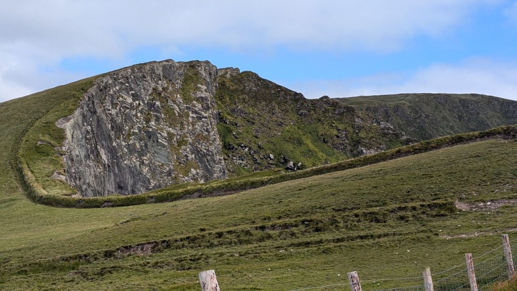
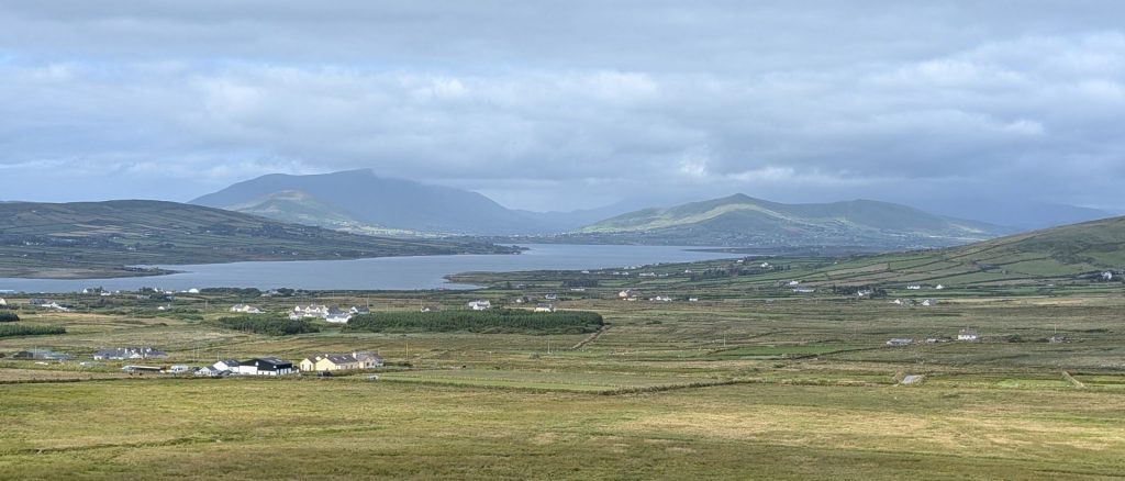
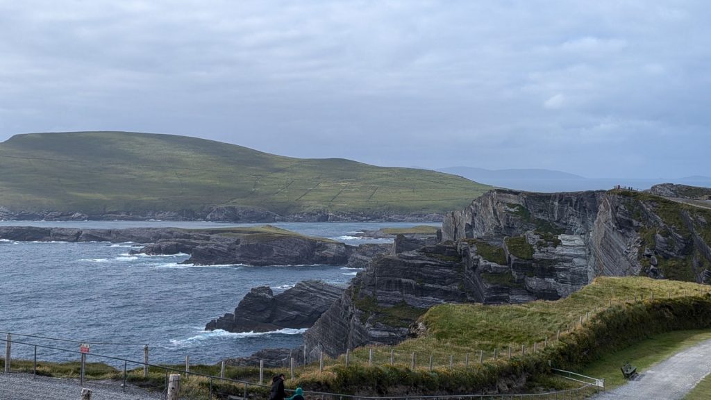
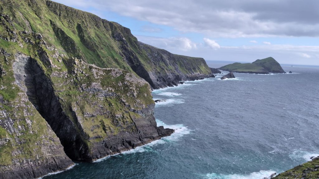
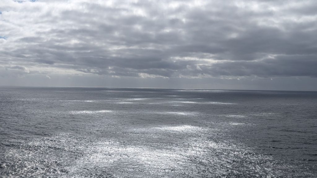
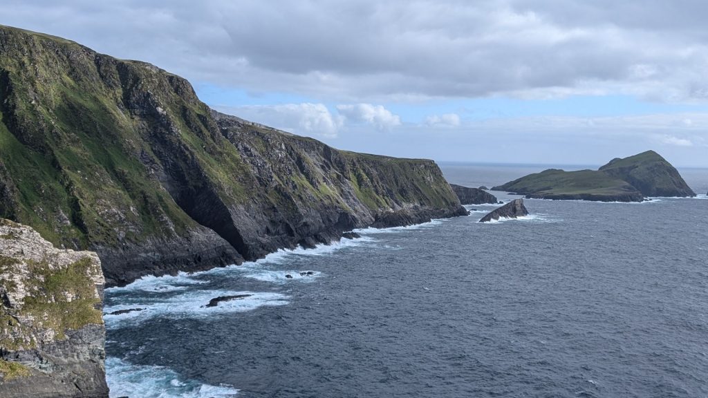
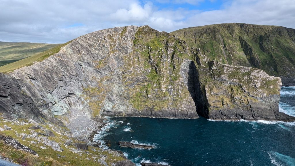
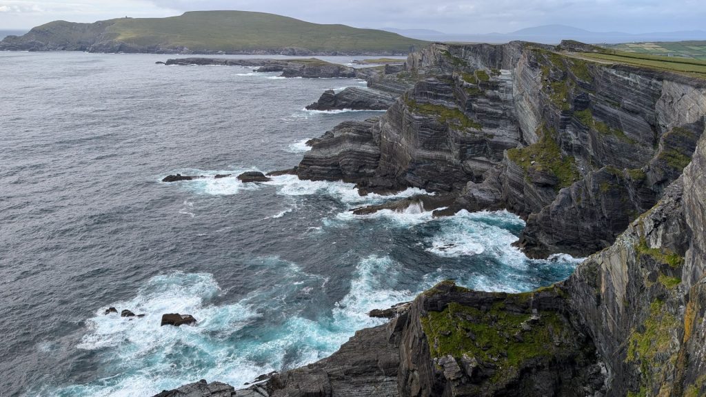
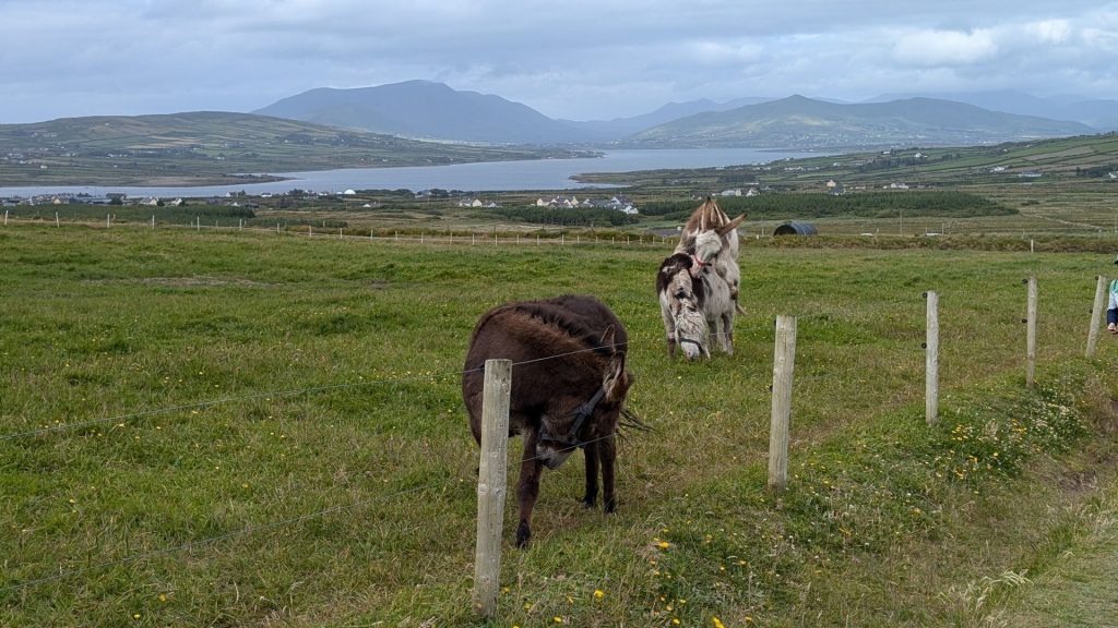
This would be a nice place to be an animal. A field with a view! Although that one mule (donkey?) didn’t want to leave the other one alone, so. . .
July 4th
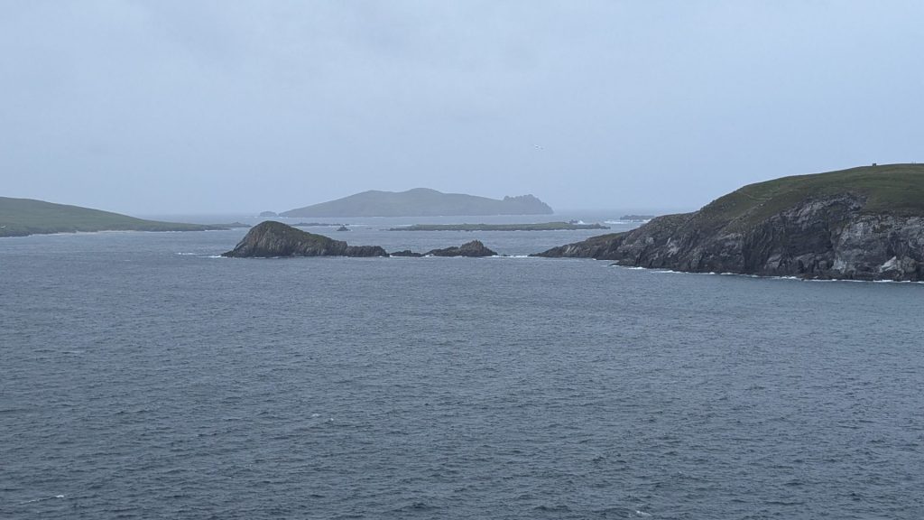
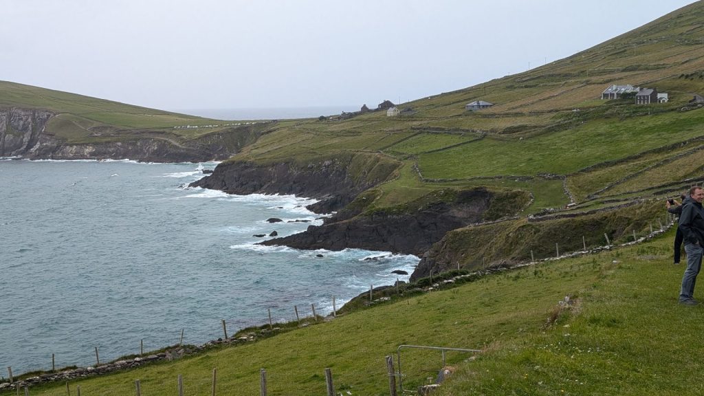
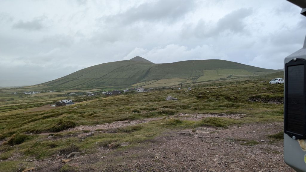
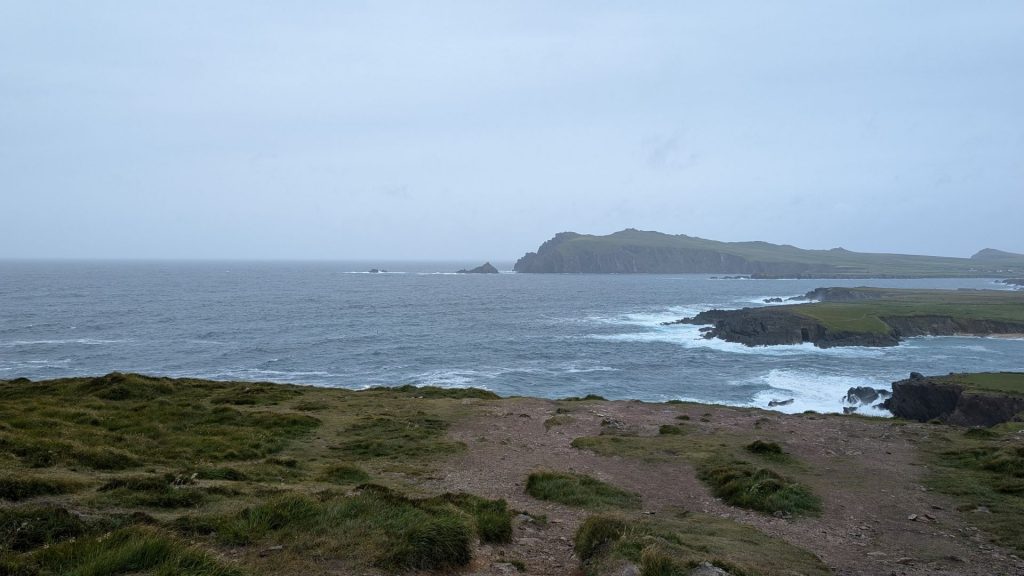
We took another “ring” drive the next day. This time it was the Slea Head Drive on the Dingle Peninsula. This is a map of the drive:
The Slea Head Drive (Slí Cheann Sléibhe) is a circular route, forming part of the Wild Atlantic Way, beginning and ending in Dingle, that takes in a large number of attractions and stunning views on the western end of the Dingle Peninsula.
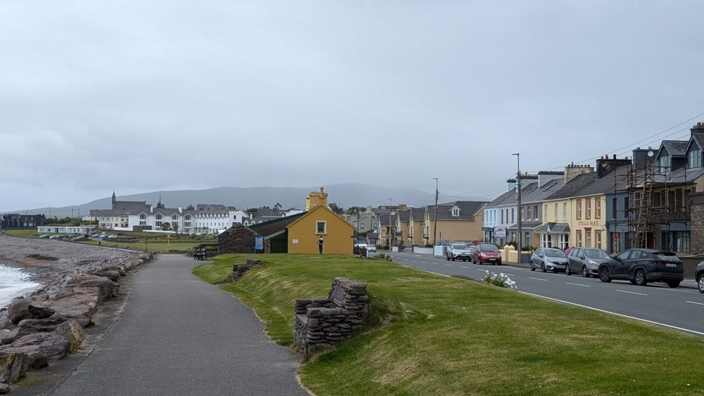
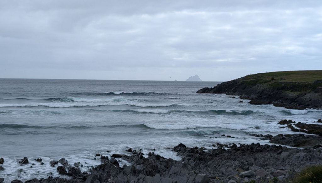
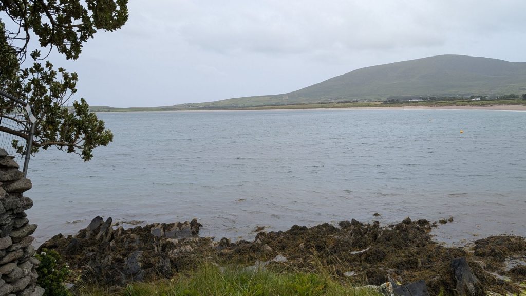
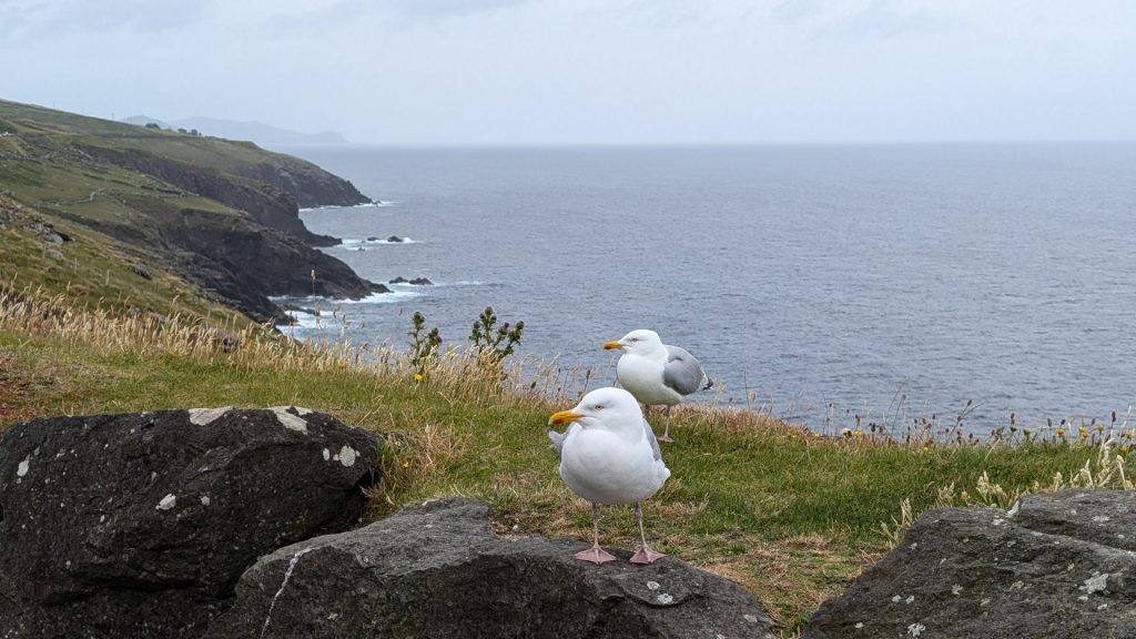
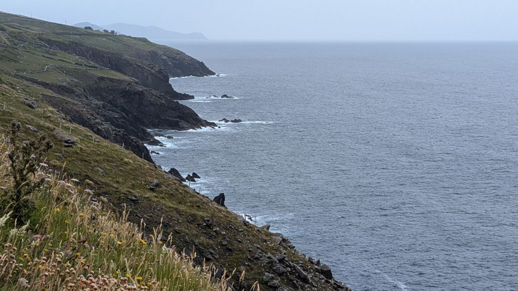
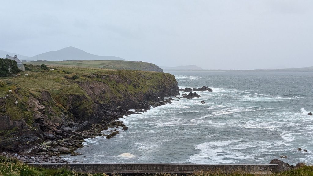
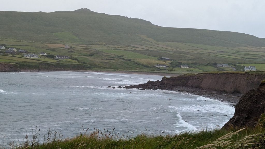
I am just going to share pictures. There really isn’t a lot to say about each of them. It was a bit soggy and cloudy so some of the pictures are a bit hazy.
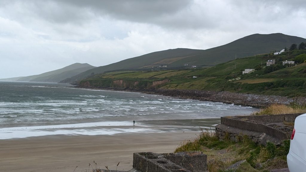
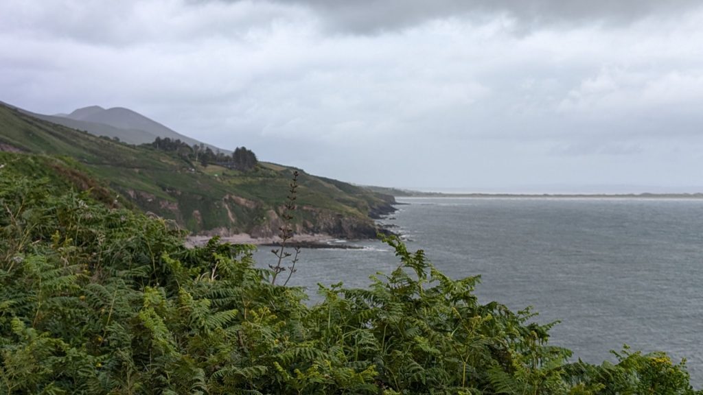
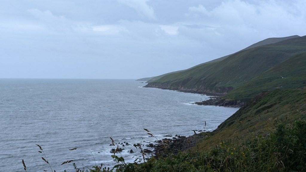
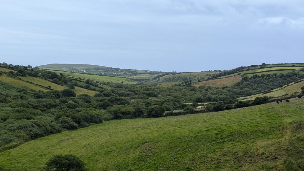
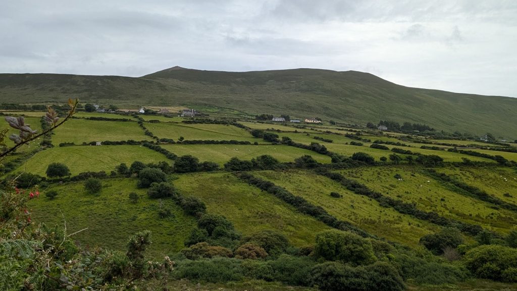
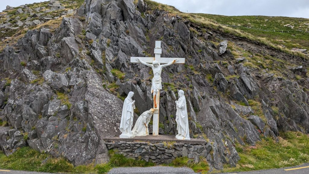
The drive now reaches Slea Head itself, marked by a stone crucifixion scene.
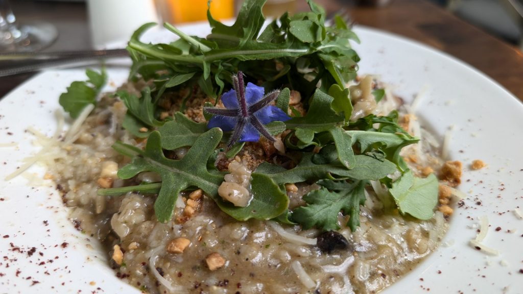
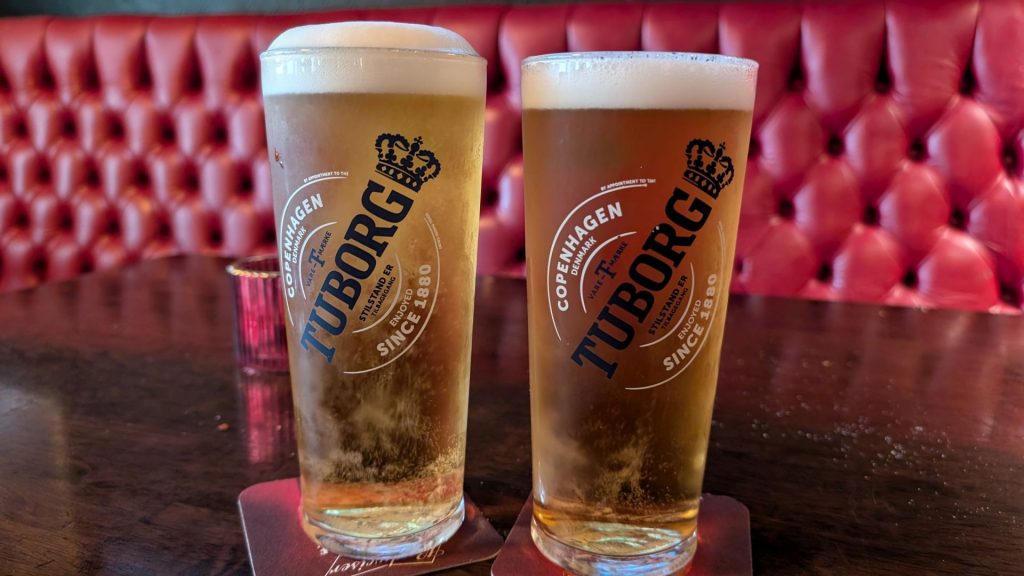
We had a wonderful dinner. I don’t recall exactly what mine was but I remember that it was really tasty! And we watched some of Wimbledon.
We spent the night in Limerick. We’ll share our visit to the Cliffs of Moher in the next post.
