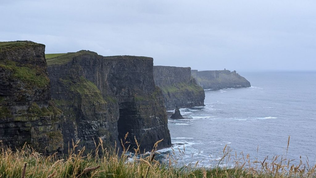
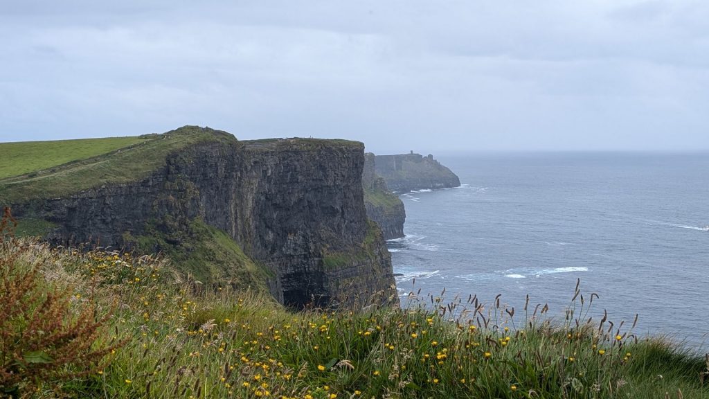
The cliffs just keep on coming! We thoroughly enjoyed our visit and were overwhelmed with the beauty of the Cliffs of Moher. It is definitely a “don’t miss” site in Ireland! Here’s a bit of information about the cliffs.
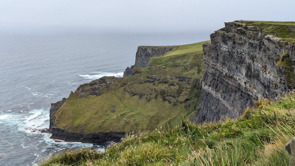
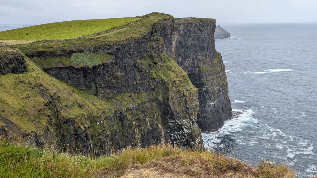
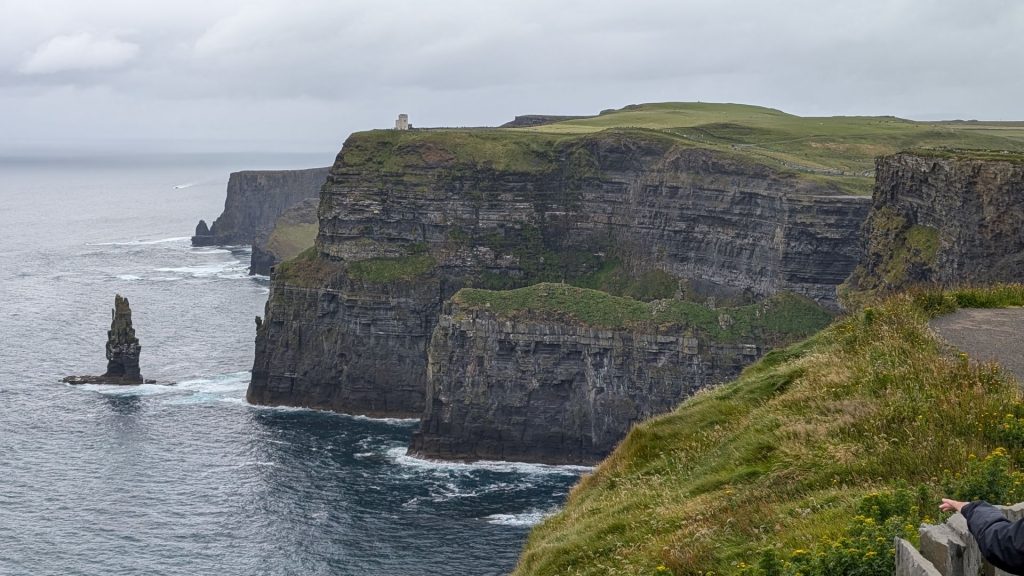
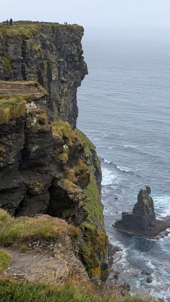
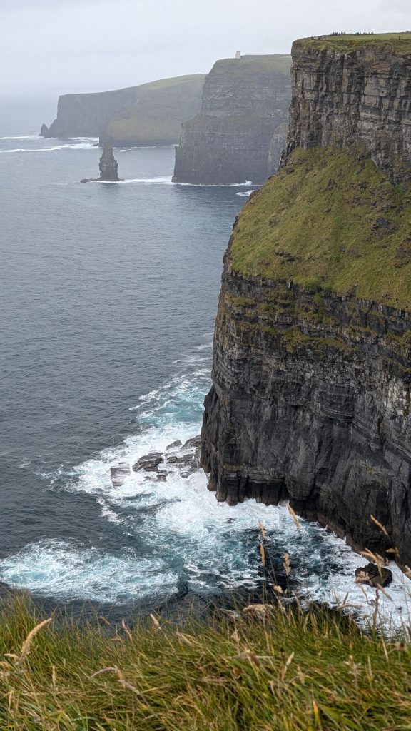
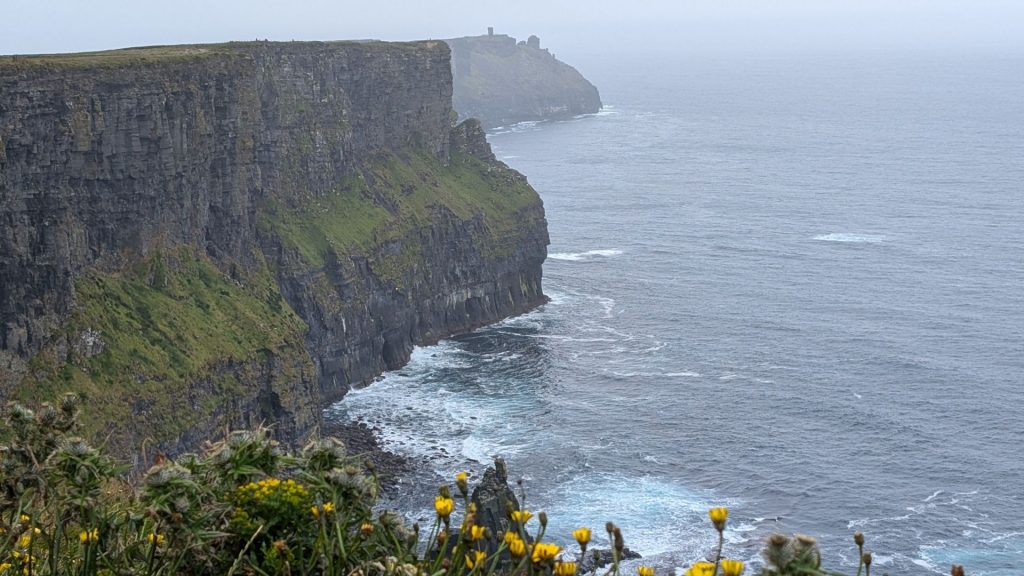
At the center of the Wild Atlantic Way in County Clare are the stunning Cliffs of Moher. Stretching out into the mist along the North Clare coastline, the Cliffs of Moher are jaw-droppingly beautiful. Their sheer drop into the heaving Atlantic ocean is a well known haven for seabirds. Waves crash below, seabirds whirl above and paths wind along the cliff-edge between villages with photo opportunities all the way.
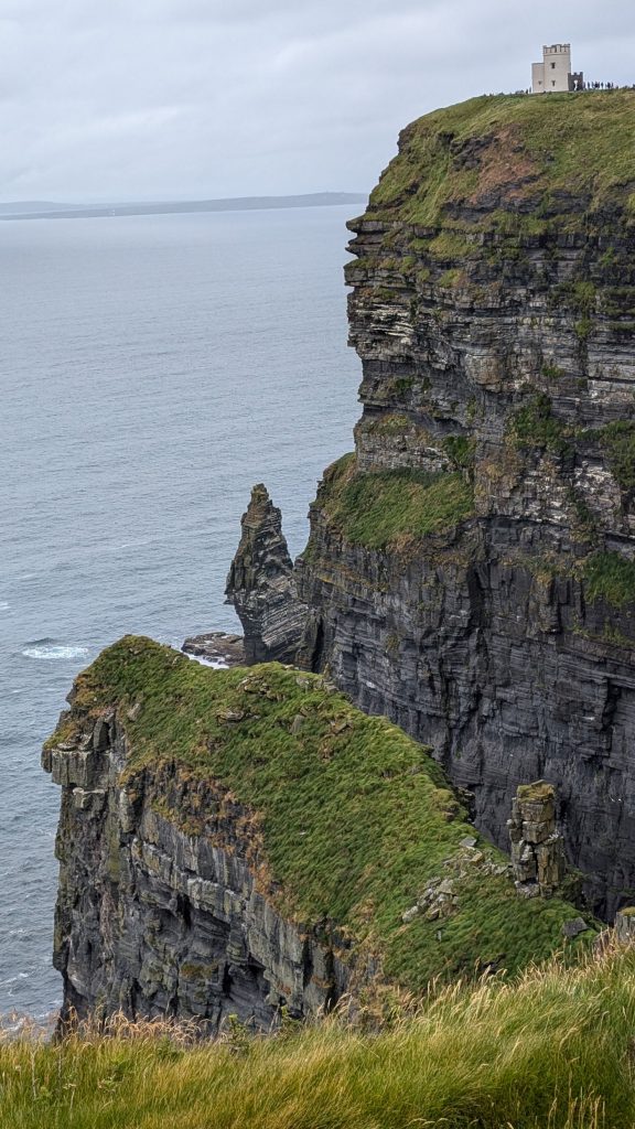
The Cliffs of Moher are one of the most outstanding coastal features of Ireland. Rising slowly from Doolin village they ascend to over 700 feet (213 meters) boasting some of the most breathtaking scenery in Ireland. They have become one of Ireland’s premier tourist attractions and a must see for many people visiting Ireland.
They run for about 9 miles (14 kilometers). At their southern end, they rise 390 feet (120 meters) above the Atlantic Ocean at Hag’s Head, and, 5 miles (8 kilometers) to the north, they reach their maximum height of 702 feet (214 meters) just north of O’Brien’s Tower, a round stone tower near the midpoint of the cliffs, built in 1835 by Sir Cornelius O’Brien, then continue at lower heights.
The cliffs take their name from an old promontory fort called Mothar or Moher, which once stood on Hag’s Head, the southernmost point of the cliffed coast.
During the time of their formation between 313 and 326 million years ago, a river dumped sand, silt and clay into an ancient marine basin. Over millions of years, the sediments collecting at the mouth of this ancient delta were compacted and lithified into the sedimentary strata preserved in the now-exposed cliffs.
This is a short, easy to read and informative article about the geology of the cliffs if you are interested in reading more: https://www.cliffsofmoher.ie/unesco-global-geopark/conservation/geology/
Tales as tall as the cliffs
On an island of storytellers, it’s no surprise that one of the most dramatic landscapes comes with its fair share of folklore and fantasy. There’s the story of the fisherman who fell in love with a mermaid, only for her to leave him to return to the sea; the doomed Leap of the Foals, where the mythical Tuatha Dé Danann plunged over the cliffs’ edge; and even the lost, underwater city of Kilstiffen…
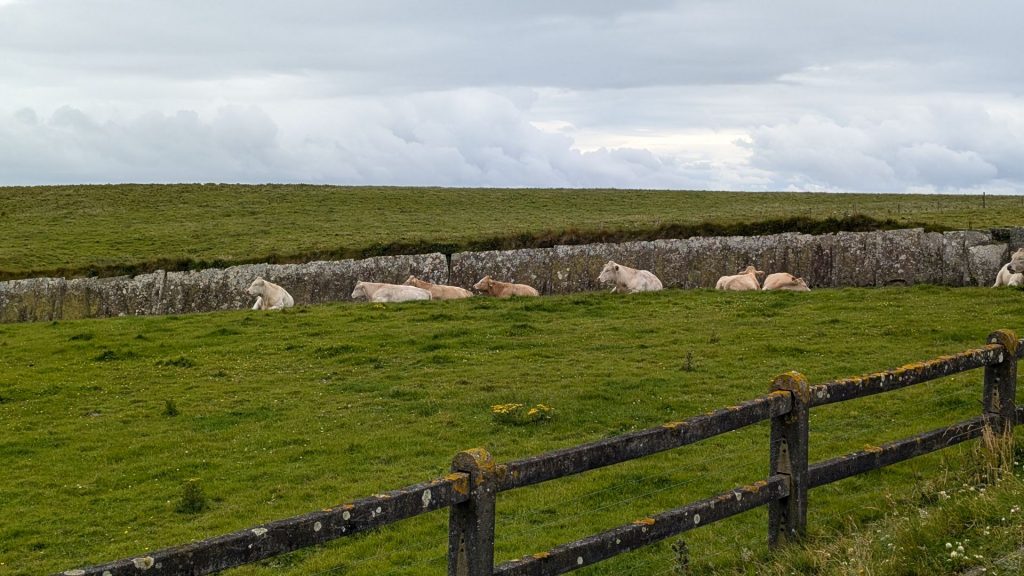
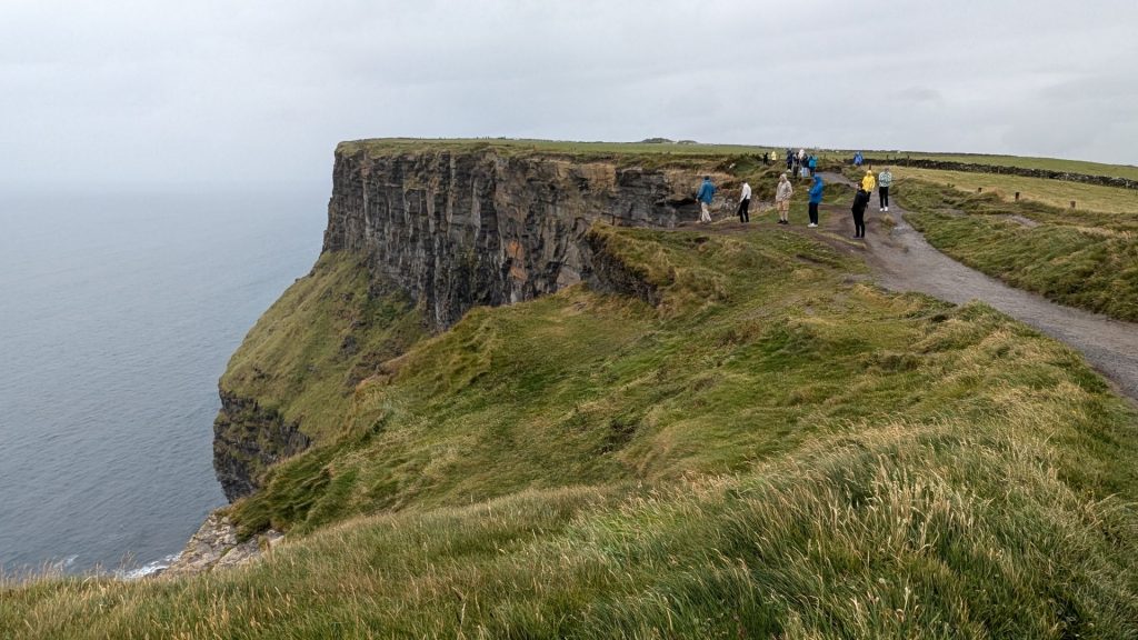
Pictures!
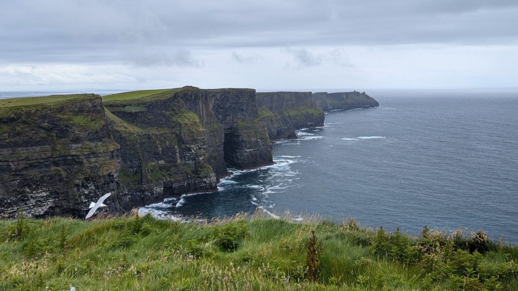
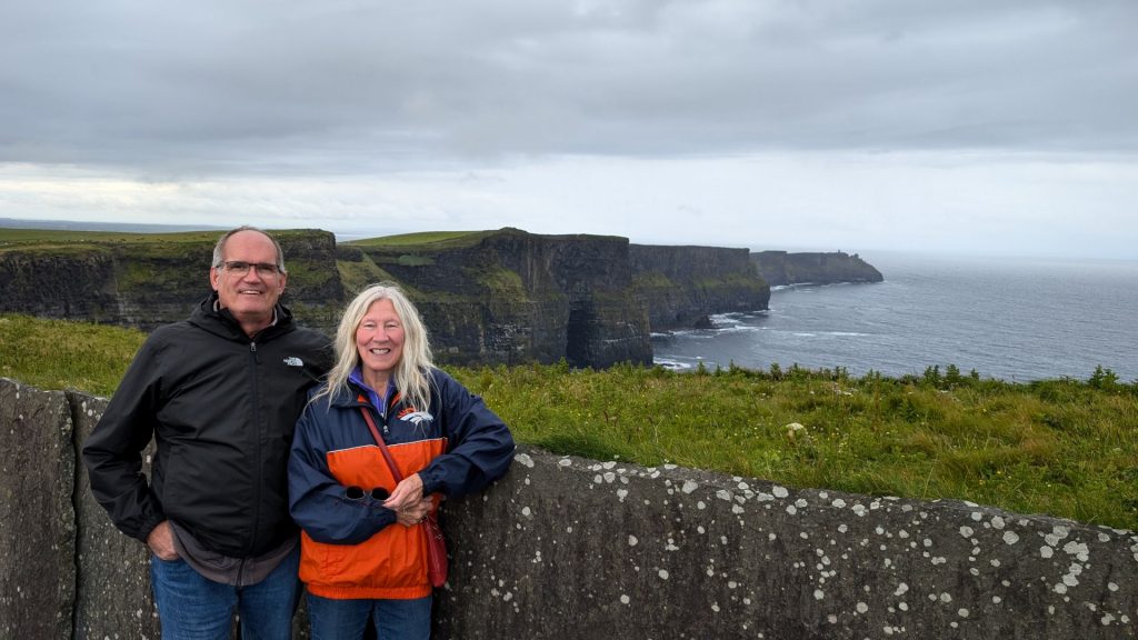
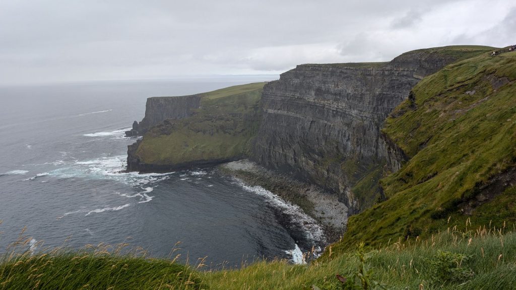
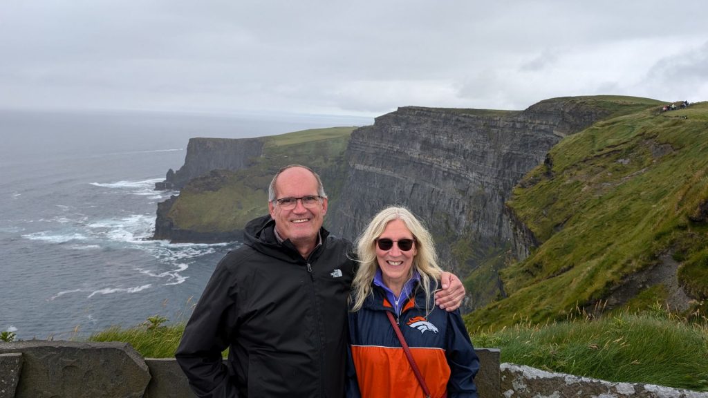
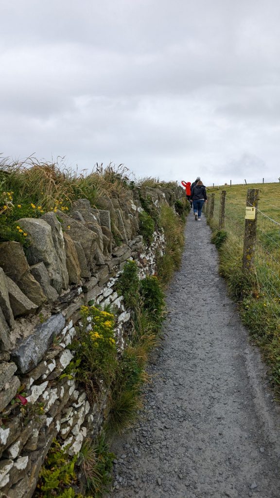
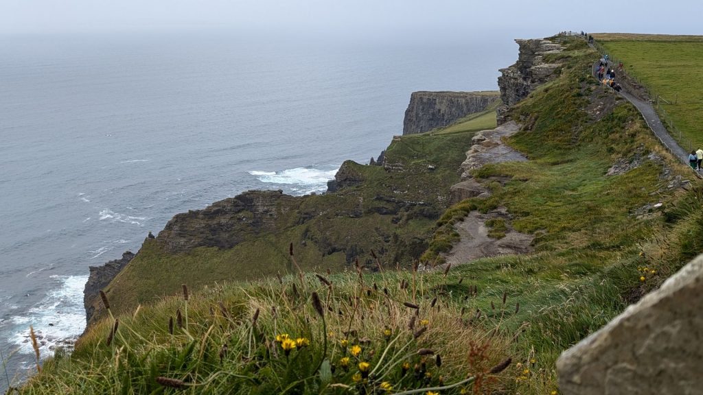
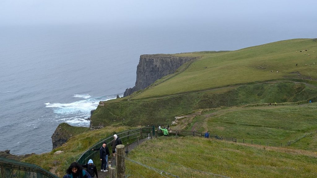
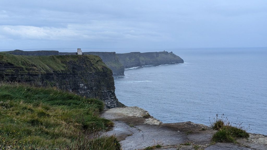
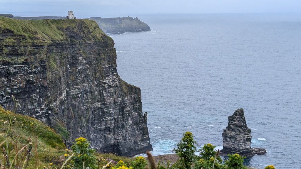
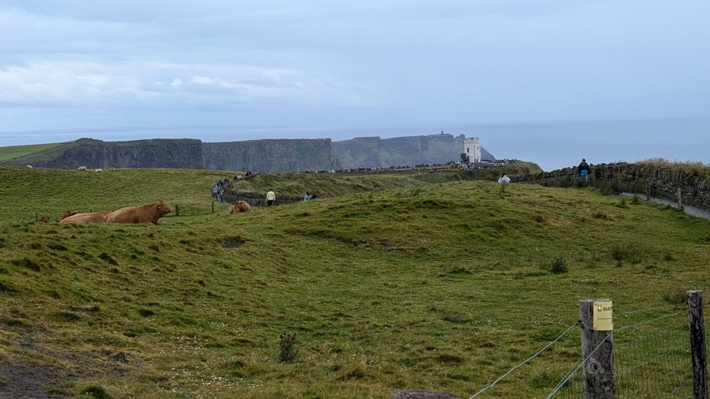
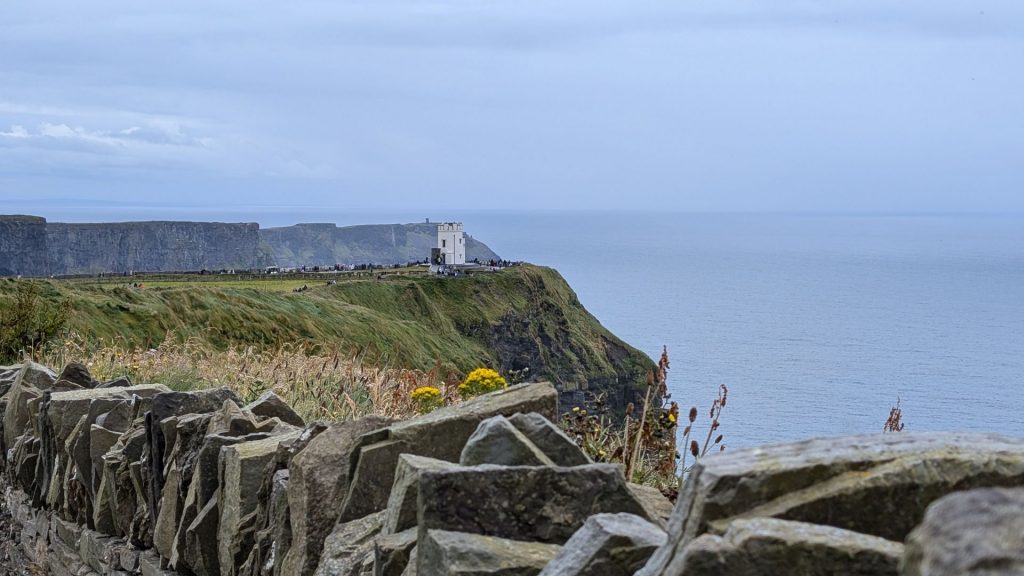
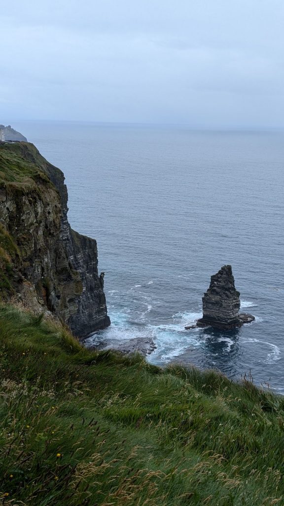
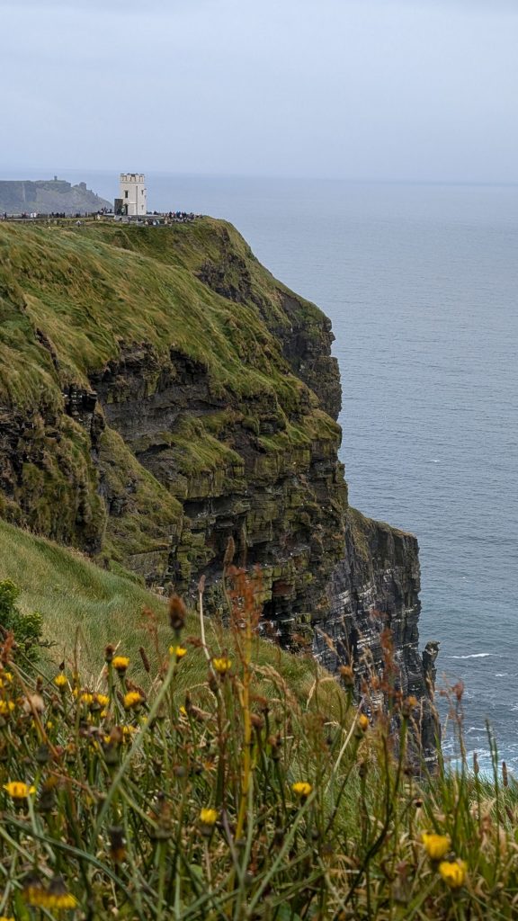
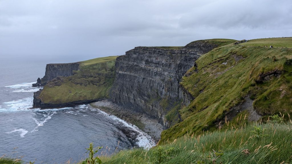
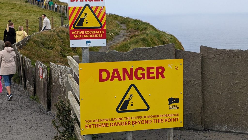
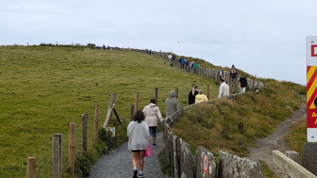
This sign looks serious but it really can’t be given that the paved path continues where it is supposedly uber dangerous! 🙂
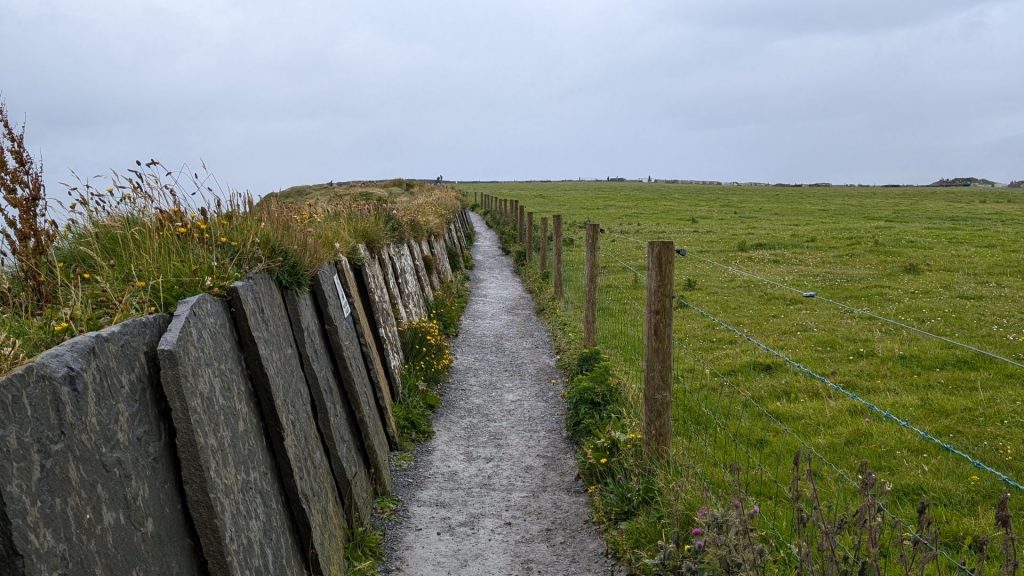
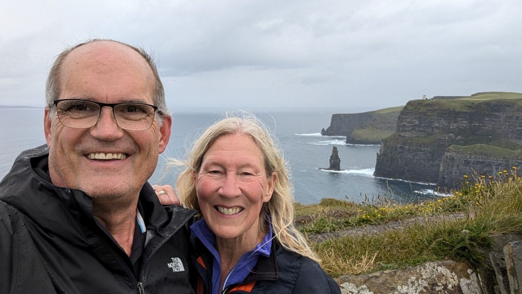
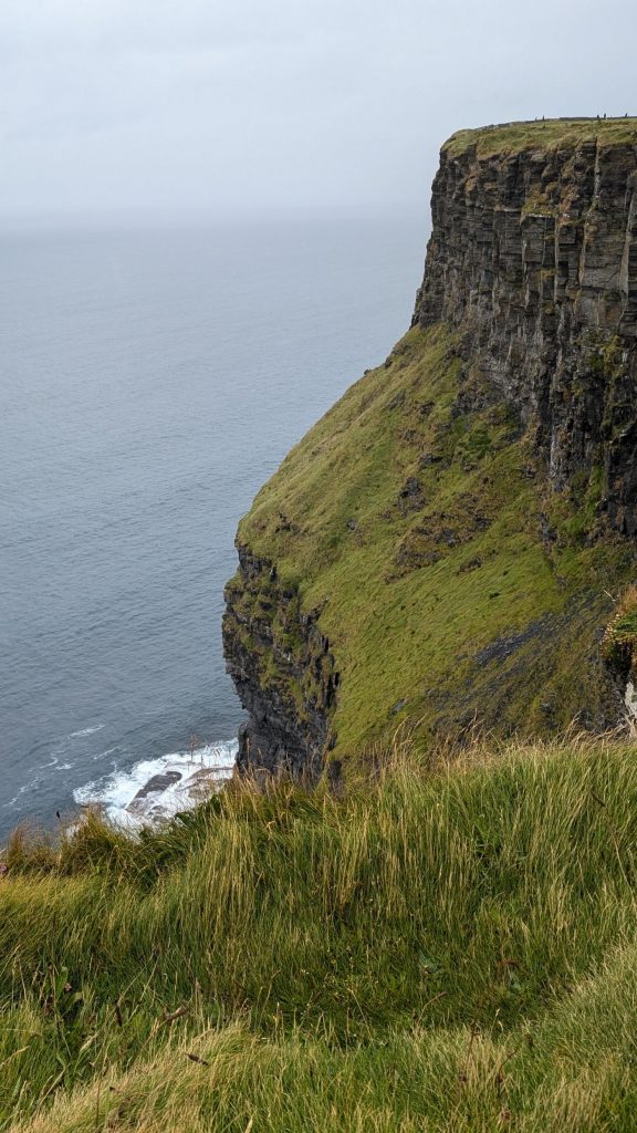
Visitor Experience
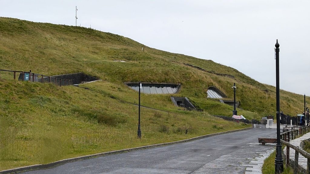
In the 1990s the local authority, Clare County Council, initiated development plans to enable visitors to experience the cliffs without significant intrusive man-made amenities. In keeping with this approach, a modern visitor center, the Cliffs of Moher Visitor Experience, was built into a hillside approaching the cliffs. The center was planned to be environmentally sensitive in its use of renewable energy systems including geothermal heating and cooling, solar panels, and gray water recycling.
The €32 million facility was planned and built over a 17-year period and officially opened in February 2007. Exhibits include interactive media displays covering the geology, history, flora and fauna of the cliffs. A large multimedia screen displays a bird’s-eye view from the cliffs, as well as video from the underwater caves below the cliffs.
You can see how well hidden the visitor center is in the right-hand picture below.
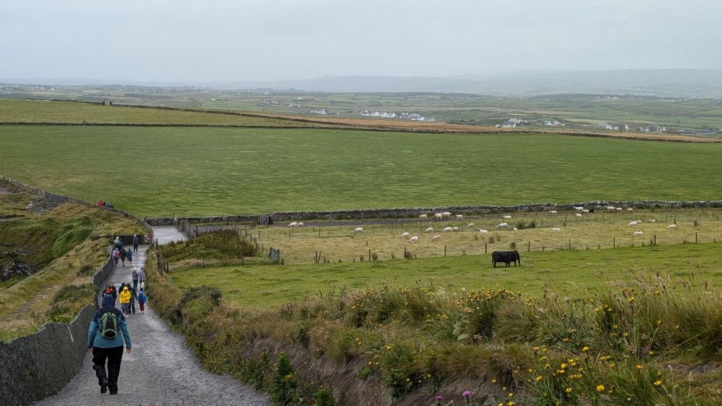
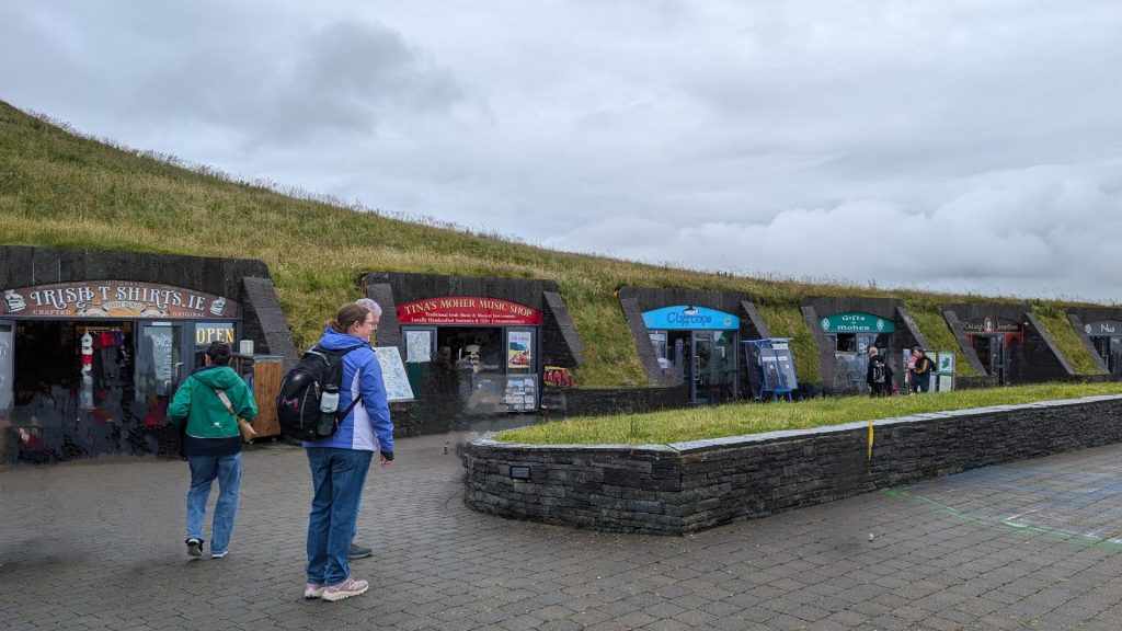
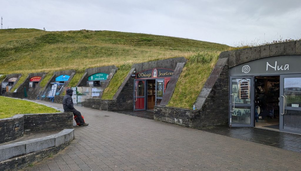
One must walk by the shops on the way to the parking lot. Notice how the shops were also somewhat hidden. I went into one store, saw a shirt I wanted, and was back to Michael in two minutes. “Look how fast I spent money!” I cheerfully declared to Michael. A woman behind me cracked up laughing and said, “I love you!” I also laughed heartily, returned the sentiment and we went on our way.
We drove to Galway that night.
Galway
Located near an earlier settlement, Galway grew around a fortification built by the King of Connacht in 1124. A municipal charter in 1484 allowed citizens of the by then walled city to form a council and mayoralty. Controlled largely by the Tribes of Galway (14 merchant families who dominated Galway from the mid-13th to late 19th centuries), the city grew into a trading port. Galway is now a tourist destination known for festivals and events including the Galway International Arts Festival.
Fun fact: Residents of the city are referred to as Galwegians.
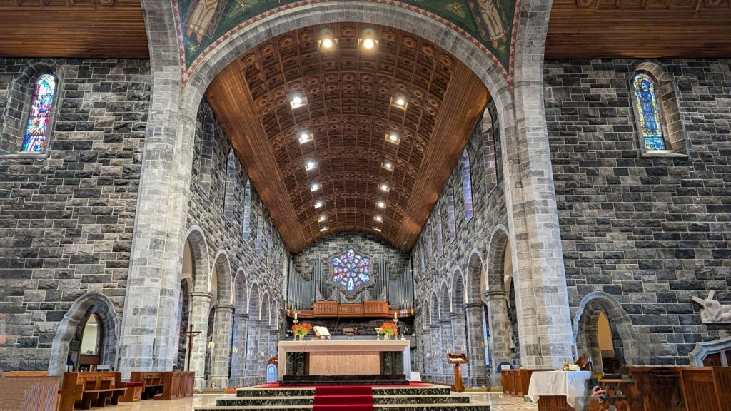
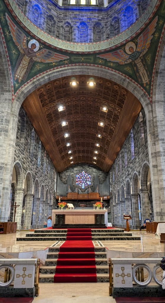
Galway Cathedral
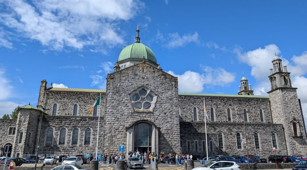
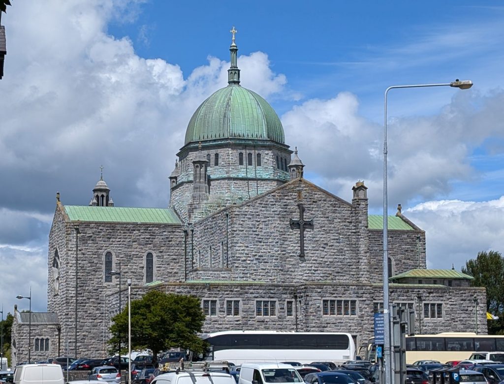
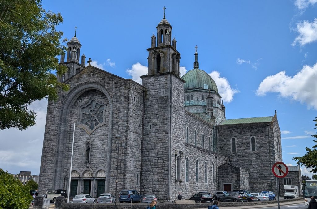
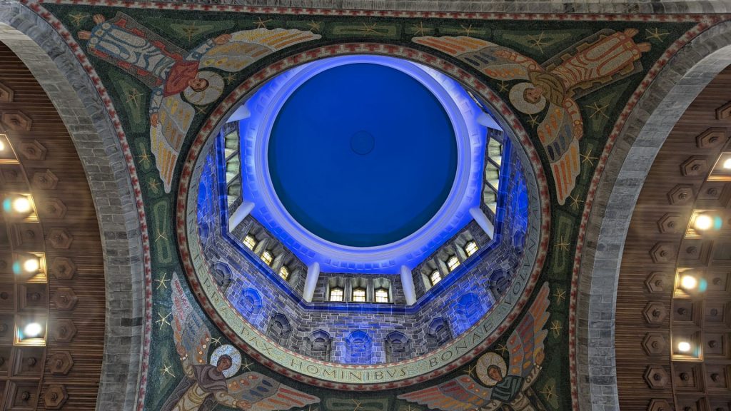
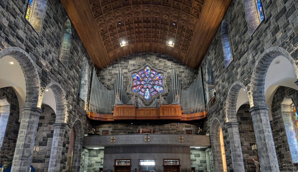
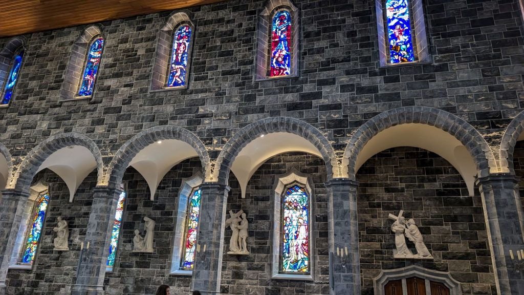
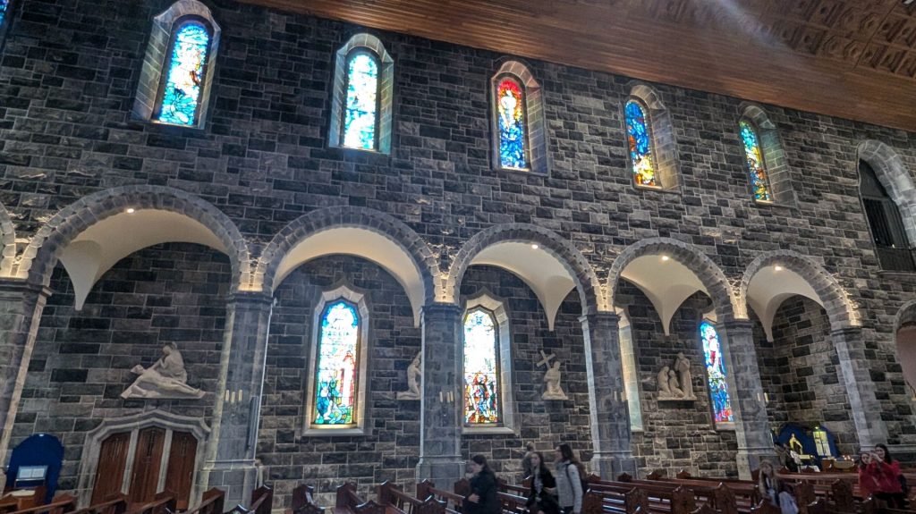
The Galway Cathedral is a modern cathedral with a large, green dome that features a mosaic of JF Kennedy. Construction began in 1958 and was completed in 1965. It’s often dubbed, “the last great stone cathedral to be built in Europe.”
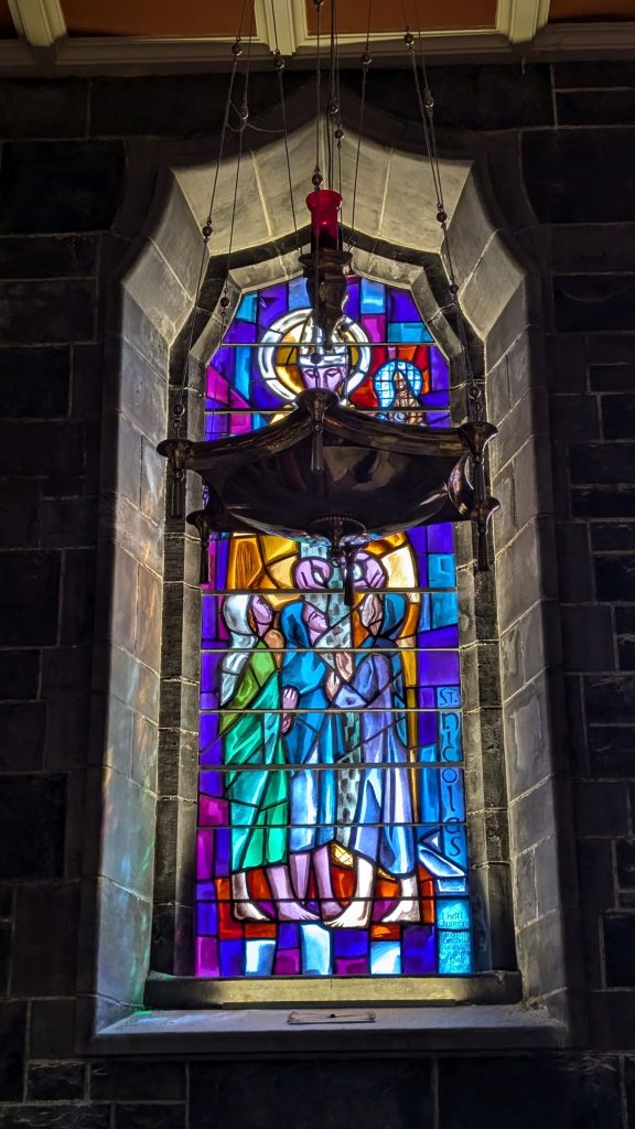
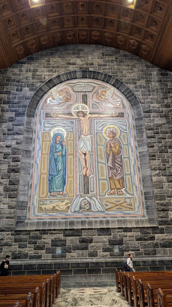
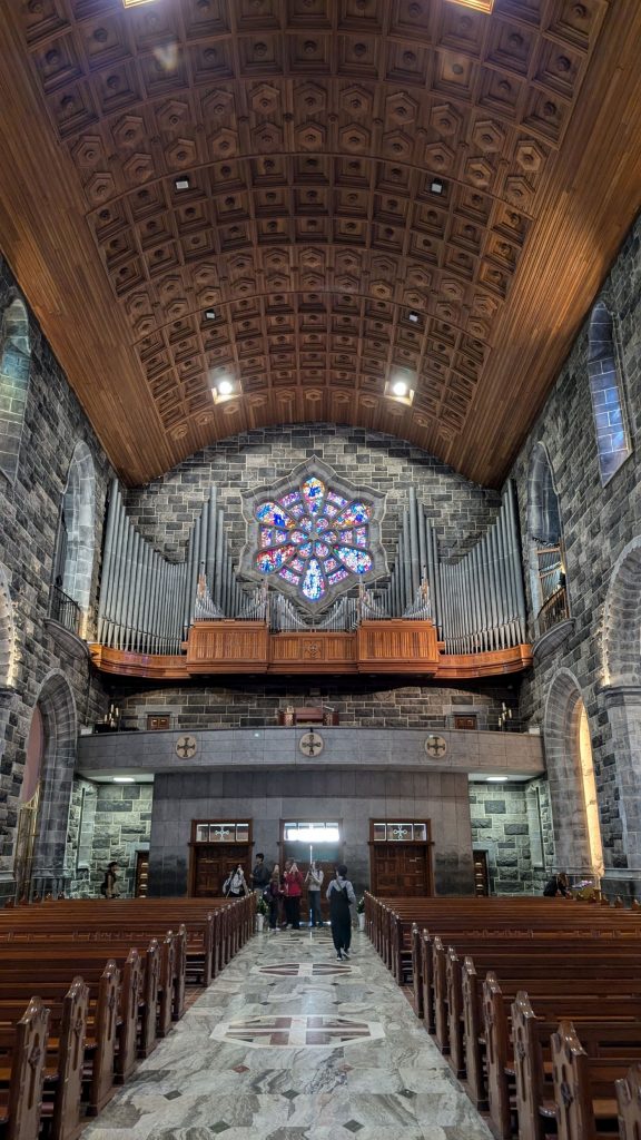
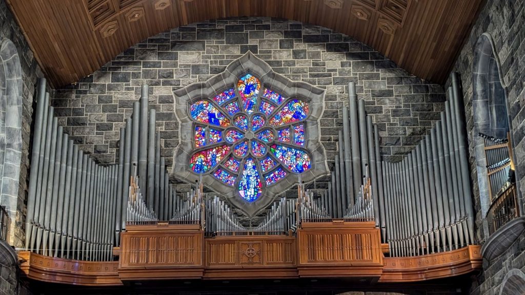
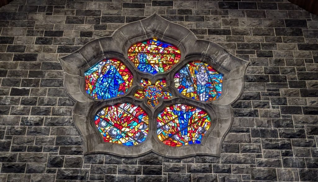
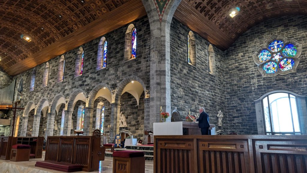
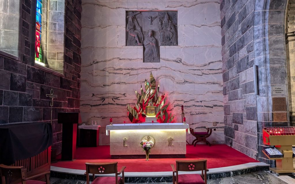
It features a dome at a height of 145 feet. The cathedral’s design draws inspiration from various architectural and religious influences, such as Gothic, Renaissance, and Christian art. The cathedral’s interior boasts stunning marble floors, resplendent rose windows, and an array of remarkable artworks and craftsmanship.
Galway Cathedral is not only a place of worship but also a haven for music enthusiasts. The acoustics within its hallowed walls are nothing short of phenomenal, making it an ideal venue for live music. The jewel in its musical crown is undoubtedly the impressive pipe organ. Galway Cathedral stands as a testament to the harmonious convergence of faith, art, and music. Its development, adorned with artistic splendor, and resounding with melodious notes, ensures that every visitor experiences a profound connection with the divine and the cultural richness of Galway.
The full name is: Galway Cathedral of Our Lady Assumed into Heaven and St. Nicholas.
River Corrib
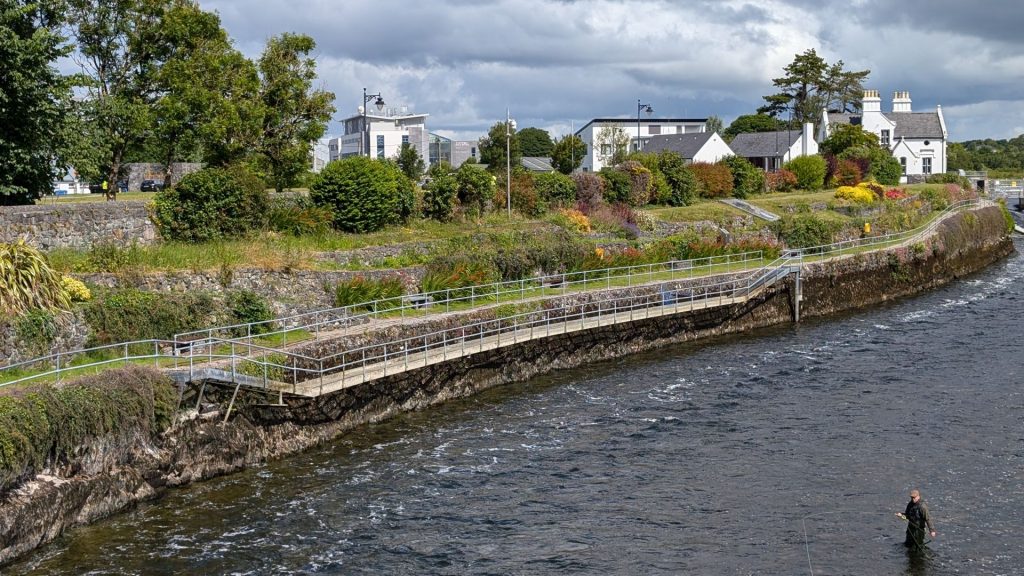
The River Corrib is the shortest river in Europe, spanning only 6 km in length from the lake to the Atlantic Ocean. It is reportedly the second fastest river on the continent and in terms of volume of water displaced second only in Ireland to the Shannon. Approximately 105 cubic meters per second flow down the Corrib. This amount of water would fill a 25 meter swimming pool 18 times in one minute. The weight of this volume of water traveling at high speed translates into huge power. A study by University College Galway in 1985 found that the Corrib could produce the equivalent of 22 million units of electricity per year, assuming only 60% efficiency, which would be enough to provide all the electricity requirements of 5,000 households. All of this volume, weight, and speed are perhaps not surprising when it is considered that the Corrib is the only outlet to the sea of the entire Carra, Mask, Corrib catchment in Counties Mayo and Galway.
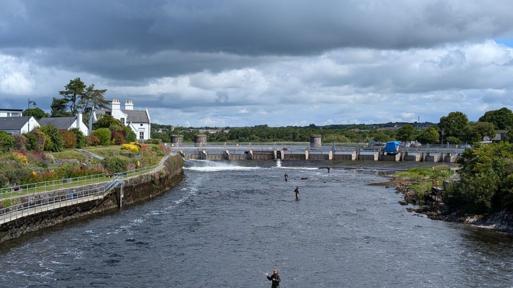
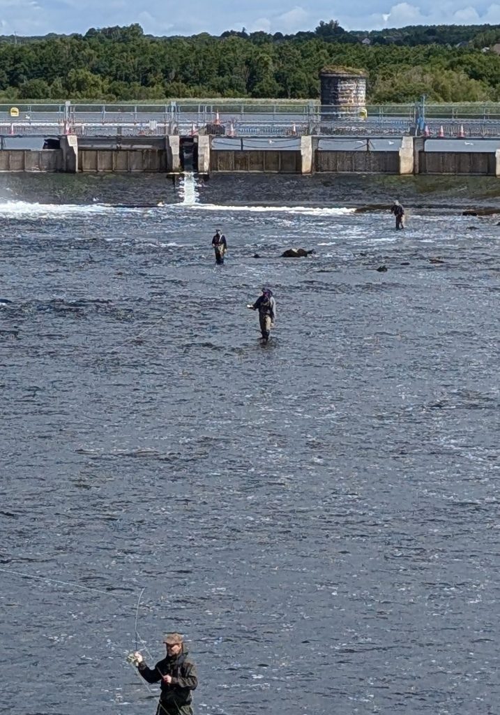
Close up (below) of the fisherfolks.
Lynch’s Castle
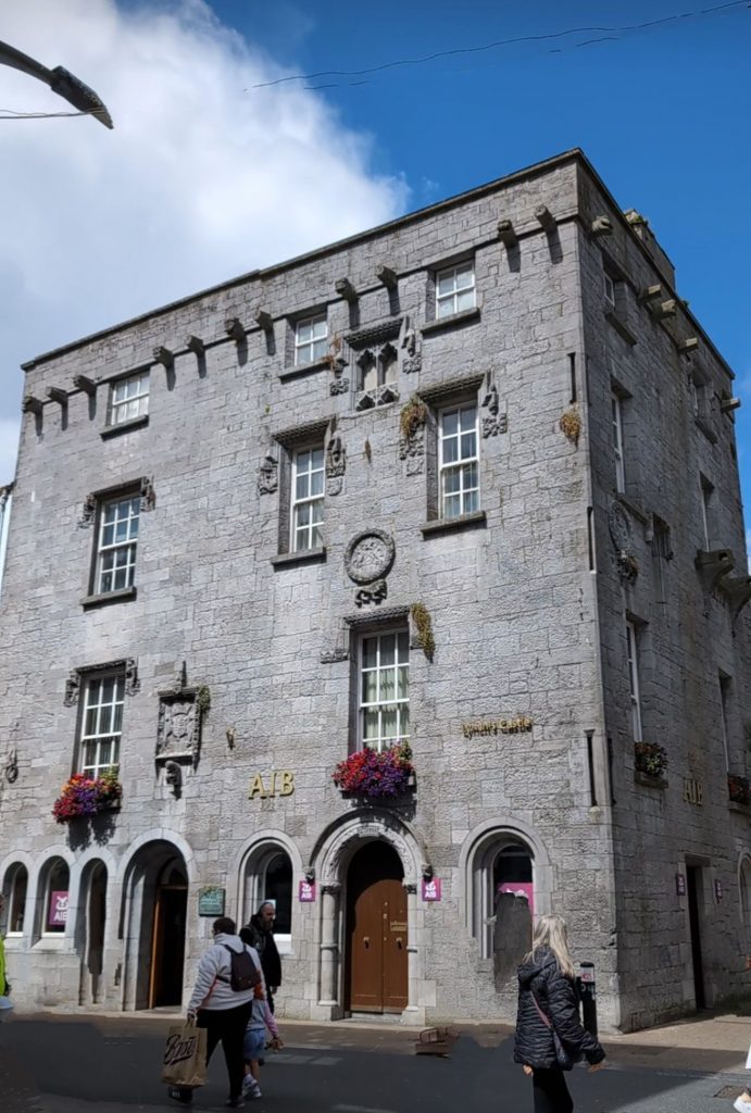
Lynch’s Castle is a four story fortified medieval house that was home to the powerful and influential Lynch family. It’s decorated with gargoyles, carved moldings and distinct windows. We didn’t go inside (it’s a bank now) but the exterior is worth admiring.
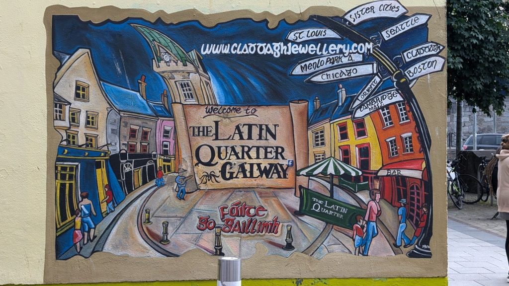
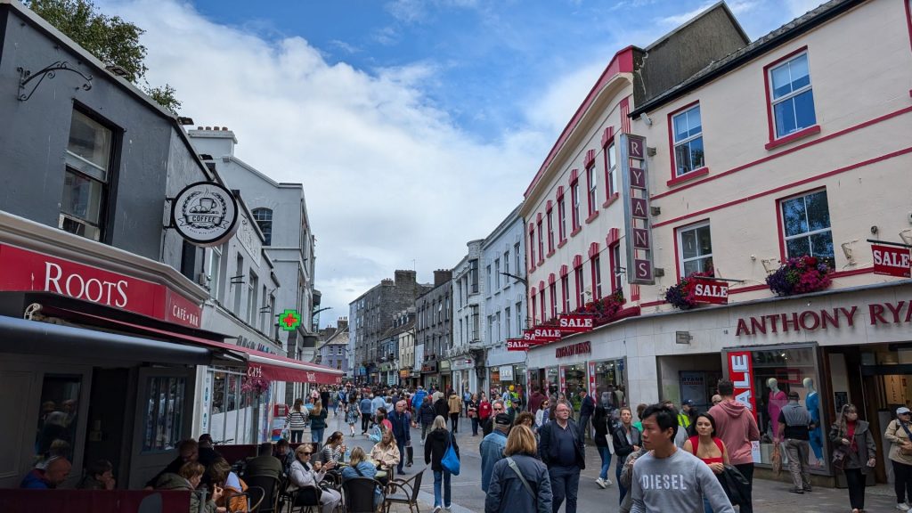
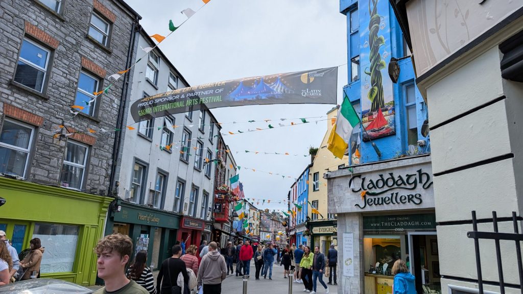
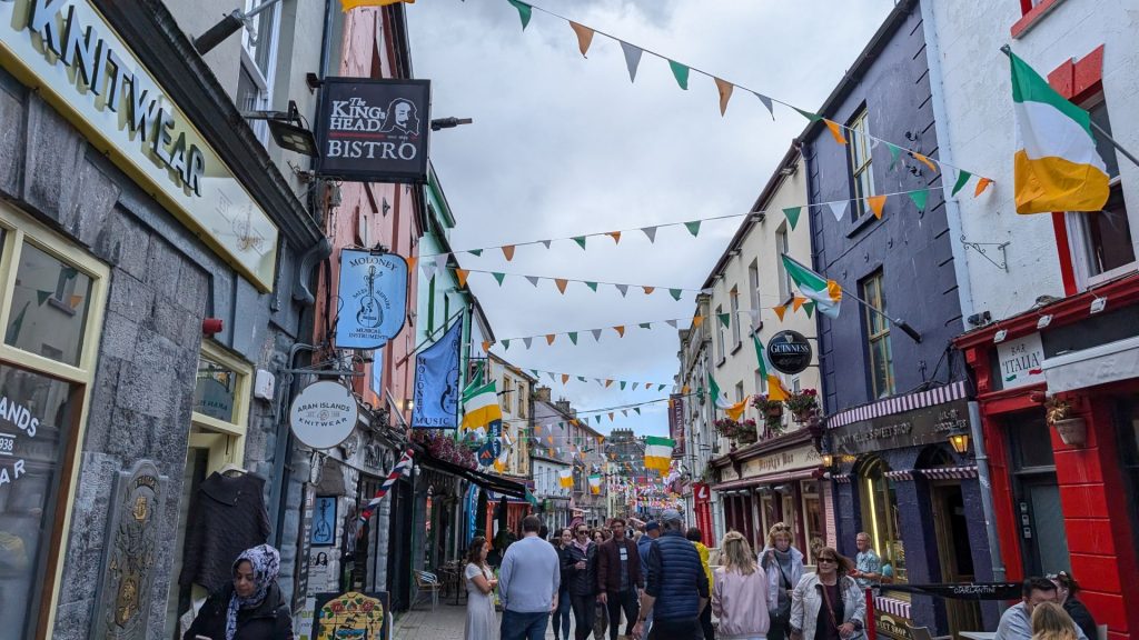
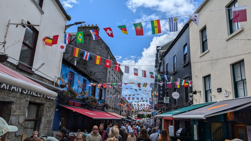
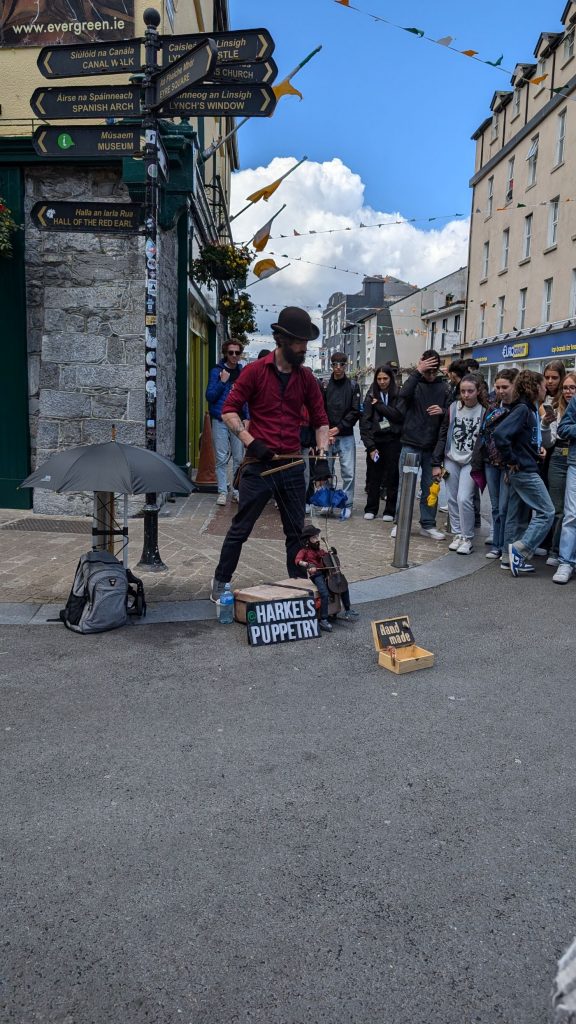
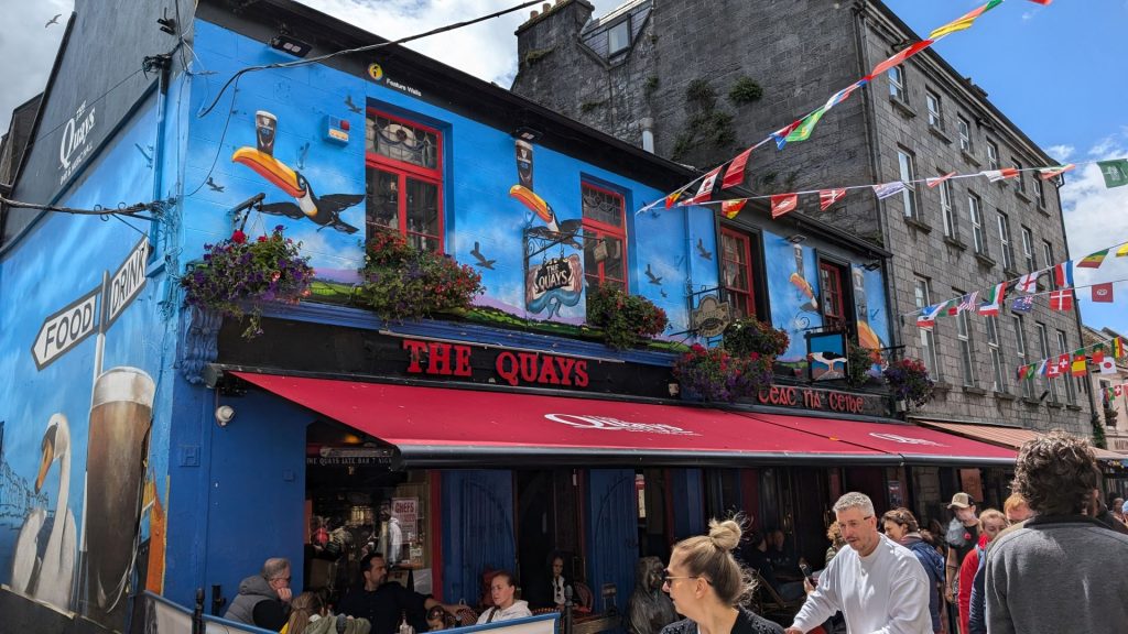
The Latin Quarter is a picturesque area of Galway that you can’t help but fall in love with. The main street is called Quay Lane, and it is a pedestrian area lined with shops, cafes, and restaurants.
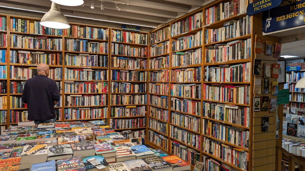
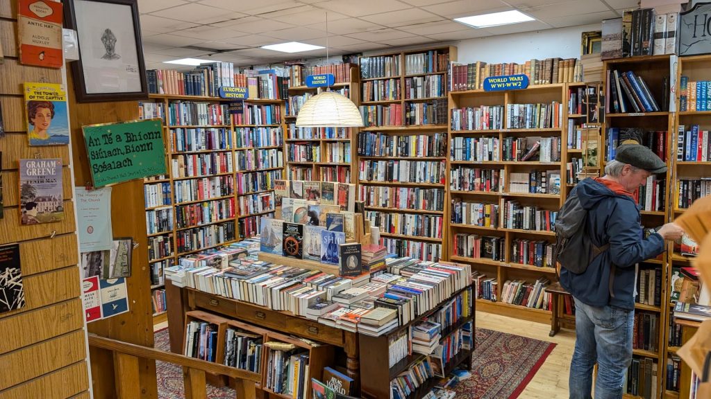
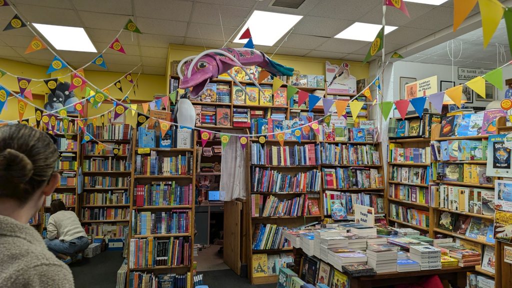
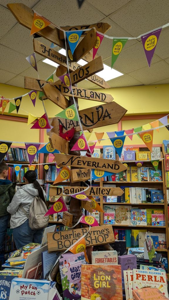
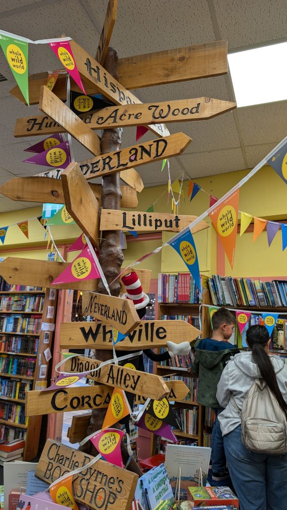
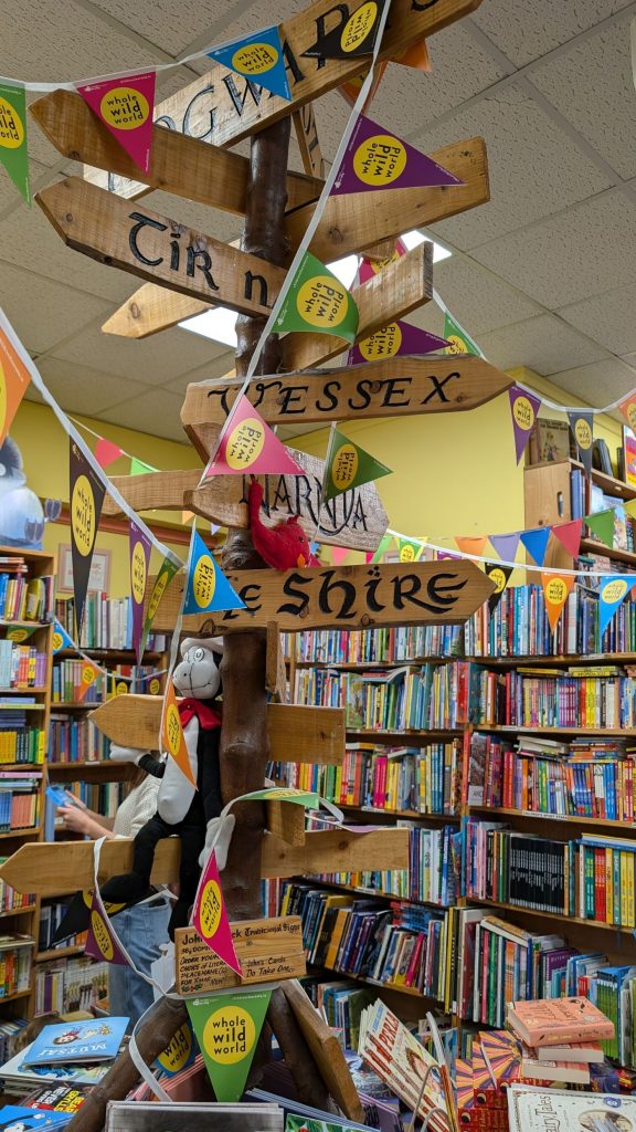
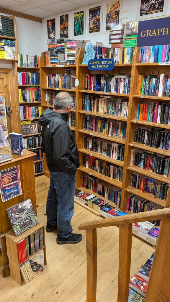
Charlie Byrne’s Bookshop
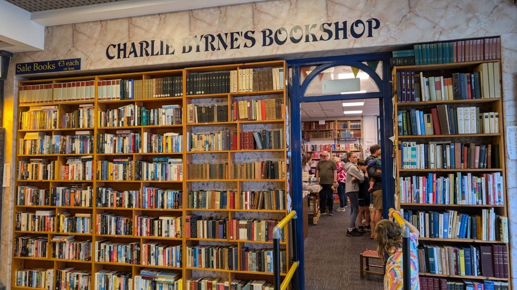
Charlie Byrne’s is a bookshop you could browse for hours. We didn’t, but it was fun to browse even for 15 minutes. I loved the children’s room the most! Kudos to the bookstore designers!
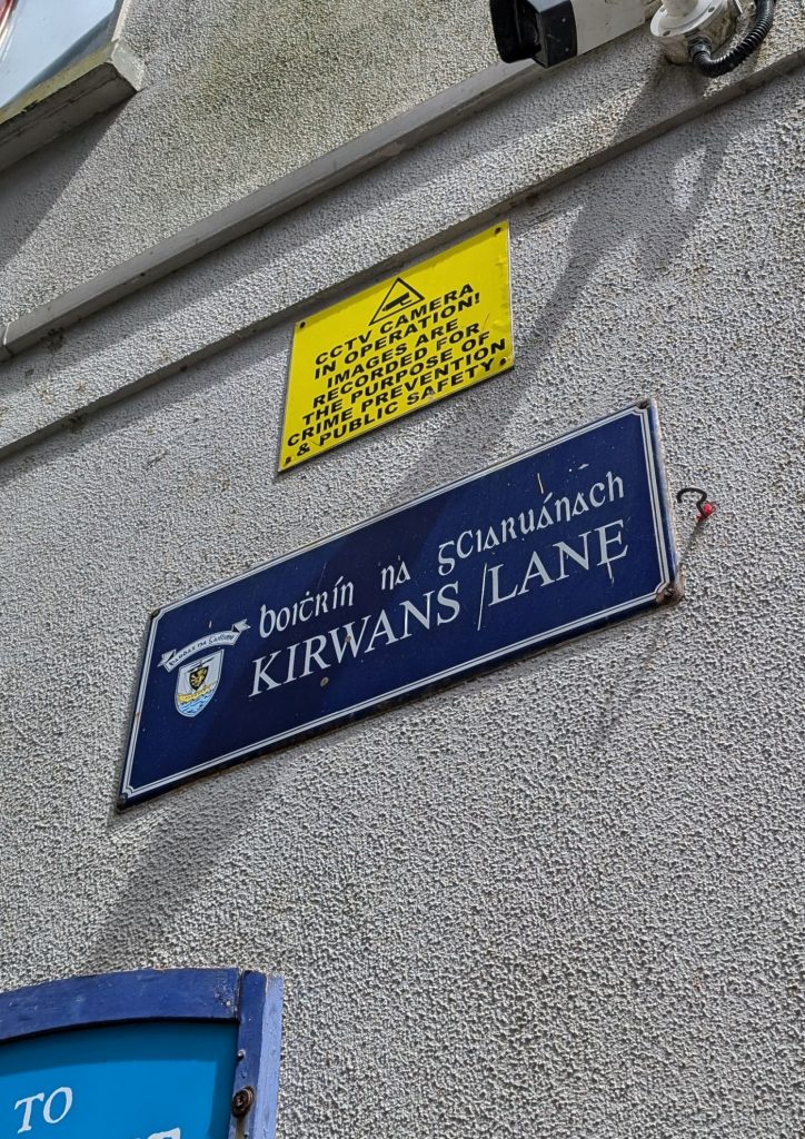
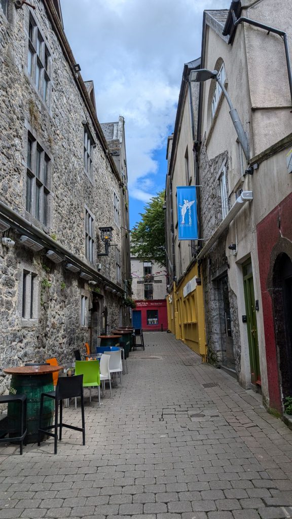
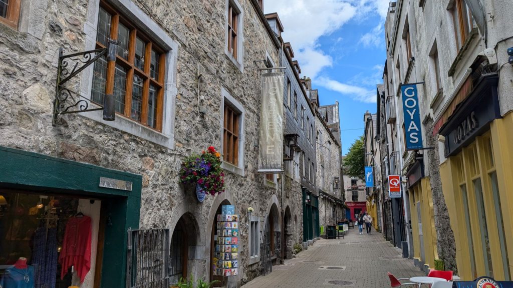
Kirwan’s Lane
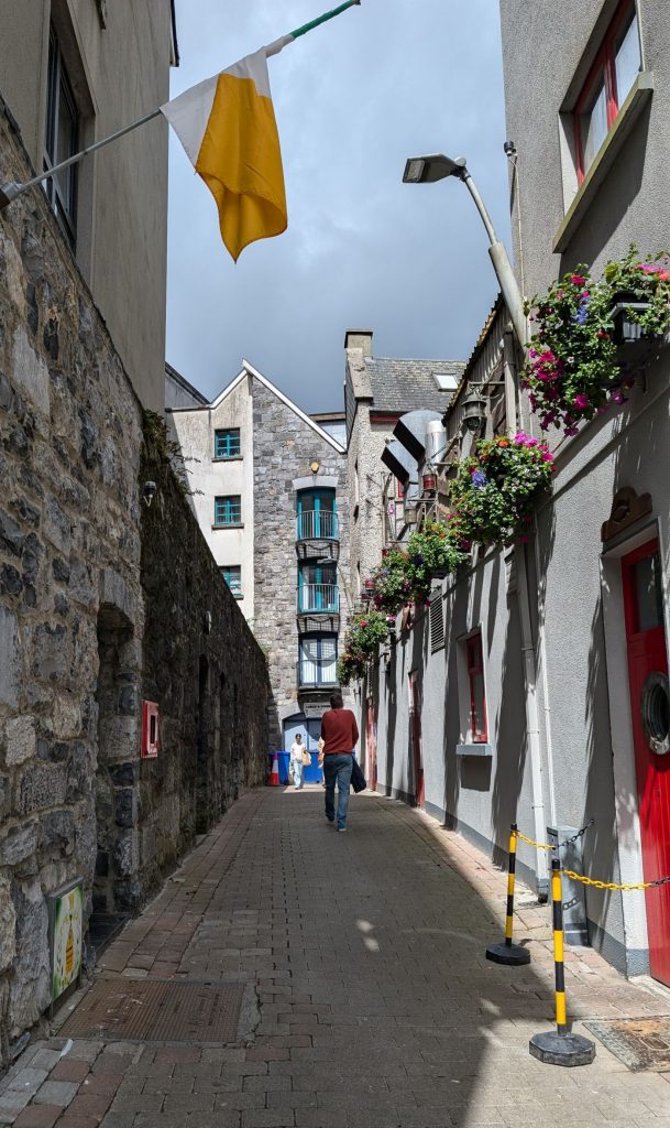
Believed to be one of only five remaining medieval lanes in Galway, of which there were originally 14, this narrow, cobbled street is Galway’s best example of its old medieval lanes which date back as far as the 16th century.
Spanish Arch
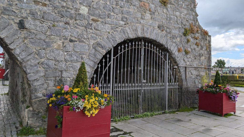
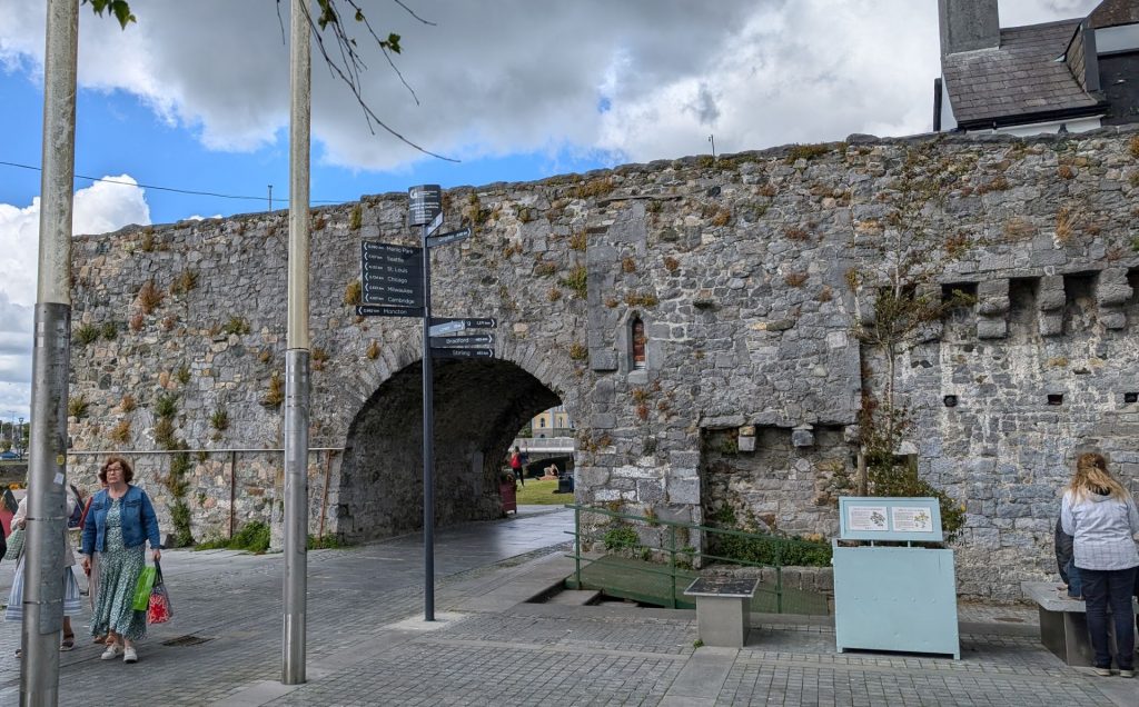
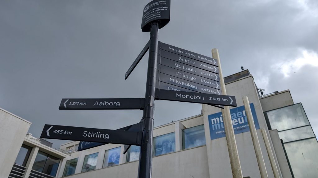
Built in 1584 as an extension to the 12th-century Norman-built town wall, this iconic structure is part of the city’s medieval walls and is a prominent symbol of Galway’s enduring connection with the sea. The arch’s purpose was not only defensive but also served as a gateway for ships to unload their cargo at the bustling Claddagh Quay. Over the centuries, it has become a cherished landmark, and today, the Spanish Arch is a popular spot for both locals and tourists to enjoy picturesque views of the River Corrib and the surrounding area. It stands as a living reminder of Galway’s maritime heritage, blending history with contemporary charm in the heart of this vibrant Irish city.
The Long Walk
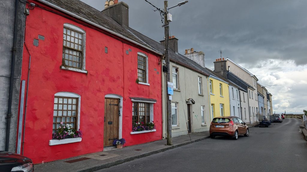
The Long Walk is one of the most iconic Galway attractions. It’s a stretch of houses facing the water near the Spanish Arch. We walked it and weren’t impressed. I think I figured out why, though: we were on the wrong side of the river. The pictures I’ve seen that were taken from the other side are actually quite pretty.
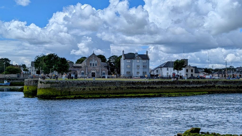
The view from the houses:
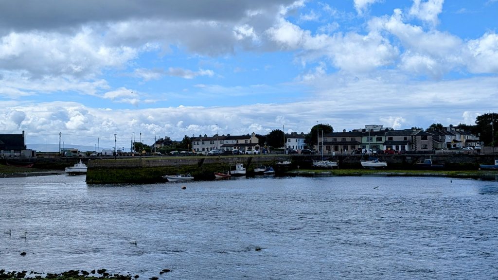
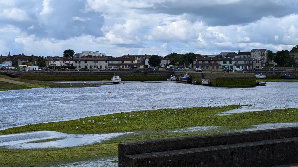
We stopped for a yummy lunch at Ruibin restaurant.
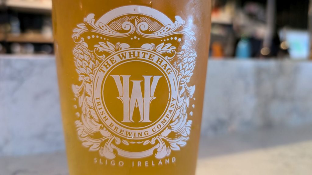


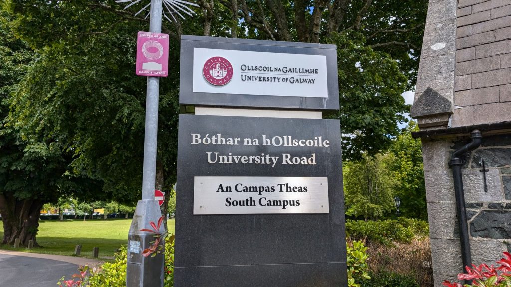
University of Galway
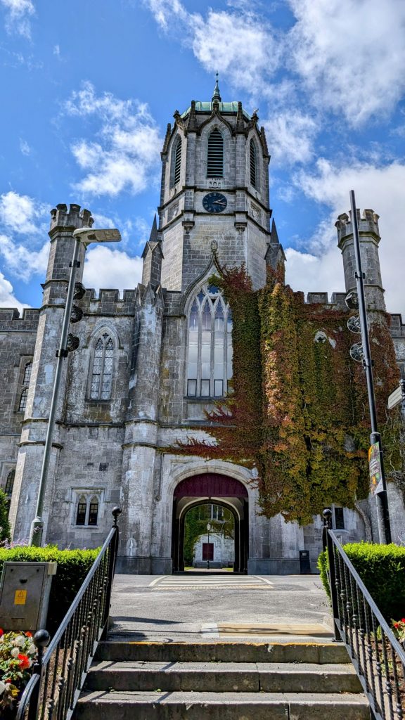
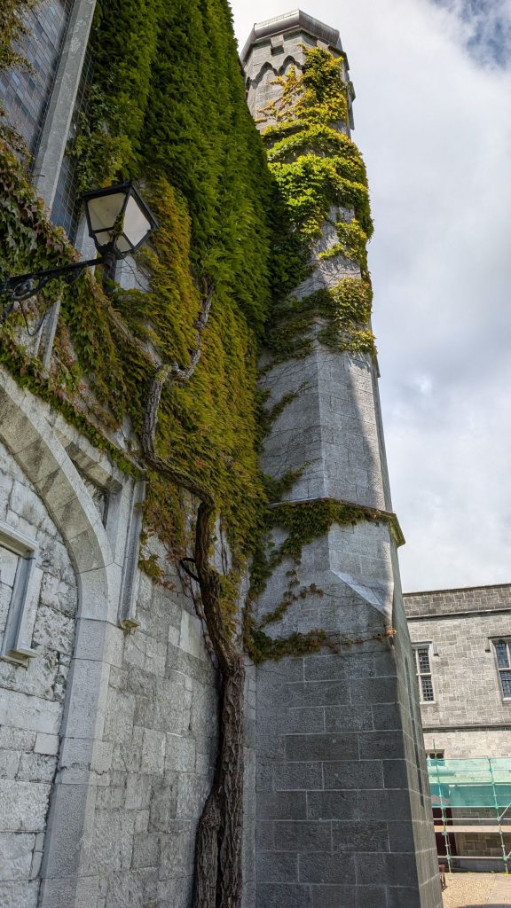
The University of Galway’s South Campus has a pretty quad with lovely buildings around it.
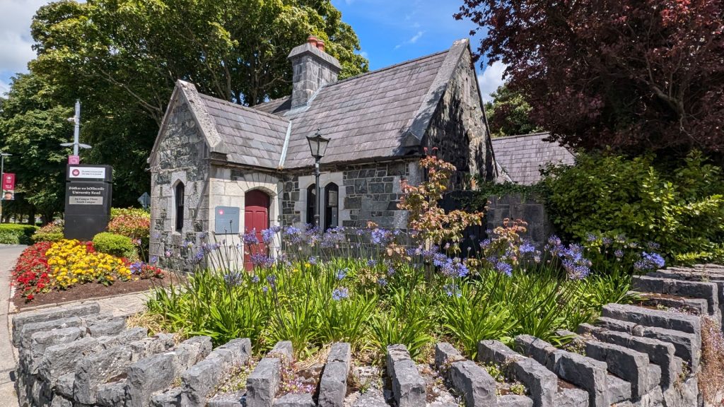
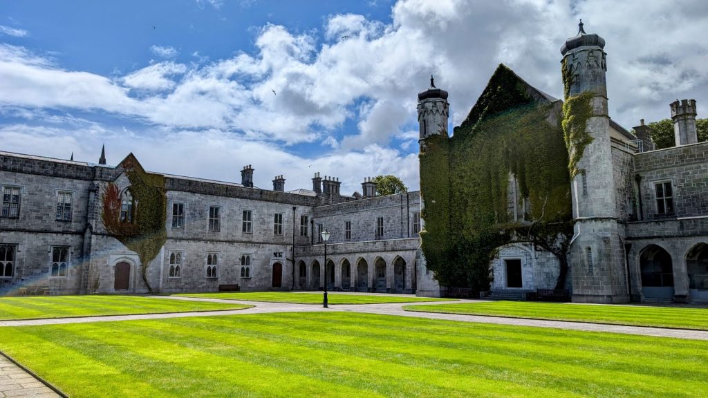
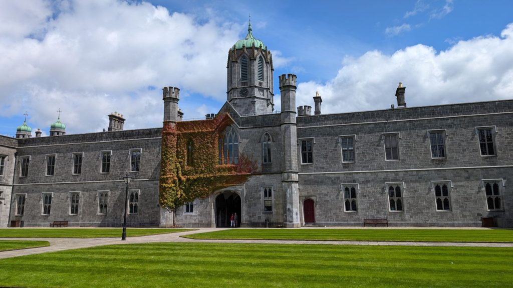
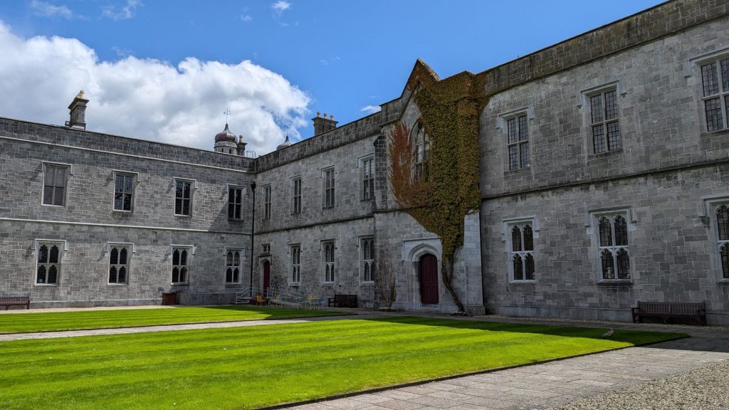
Salmon Weir Bridge
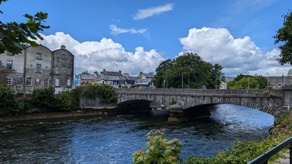
Built in 1818, the Salmon Weir Bridge was originally built as a means to monitor and collect tolls from salmon fishermen during the fishery season. It is the oldest surviving bridge over the River Corrib. There was a wooden bridge here as early as 1235, which was granted by King Henry III to Richard de Burgh, Earl of Ulster. This bridge was later known as the Friars’ Bridge, because it connected the Franciscan abbey on Nun’s Island with the mainland.
The Friars’ Bridge was destroyed several times by floods and wars, and was eventually replaced by a stone bridge in 1651. This bridge was also known as the Gaol Bridge, because it linked the county courthouse with the county gaol (prison) on Nun’s Island. The gaol was built in 1810 on the site of the old Franciscan abbey, which had been suppressed by King Henry VIII in 1541. The gaol was later demolished in 1965 to make way for the Galway Cathedral.
The Gaol Bridge was also damaged by floods and decay, and was finally replaced by the current Salmon Weir Bridge in 1818.
Salmon Weir Pedestrian & Cycle Bridge
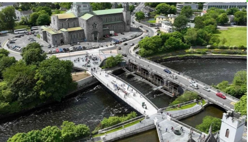
The Salmon Weir Pedestrian & Cycle Bridge is a beautiful, new, €10 million pedestrian bridge that offers beautiful views of the River Corrib and the Galway Cathedral.
Officially named Droichead an Dóchais (Bridge of Hope), it runs parallel to the current Salmon Weir Bridge. It spans the Friar’s River Canal and Persse’s Distillery River, two more waterways, for 85 meters. It is 24 meters downstream from the current bridge and is anticipated to entice some of the 9,000 people that use the 200-year-old Salmon Weir Bridge every day for walking and bicycling. It is hoped that the bridge will decrease accidents between cars, bikes and pedestrians.
Since these seem to be a big deal but I don’t have any good pictures, I am borrowing one from a website: https://www.arup.com/news/galways-newest-pedestrian-and-cycle-bridge-officially-opens/. Plus, it is a really nice picture that includes the cathedral!
Eyre Square
Eyre Square (‘An Fhaiche Mhór’ in Irish) in the heart of Galway City, is officially known as the John F. Kennedy Memorial Park. The square has a rich history dating back to medieval times when markets took place on the green in front of the town gates. In 1710, Mayor Edward Eyre officially presented the plot of land to the city. It remains a popular gathering place for visitors and natives alike. A bust of the US President Kennedy, who was made a Freeman of the city, marks the spot where he made a speech to approximately 100,000 Galway people in 1963, on his last trip before his assassination.
This is the only picture we took in Eyre Square. We spent most of the time chatting with a couple of friendly gentlemen. We never saw the bust of Kennedy.
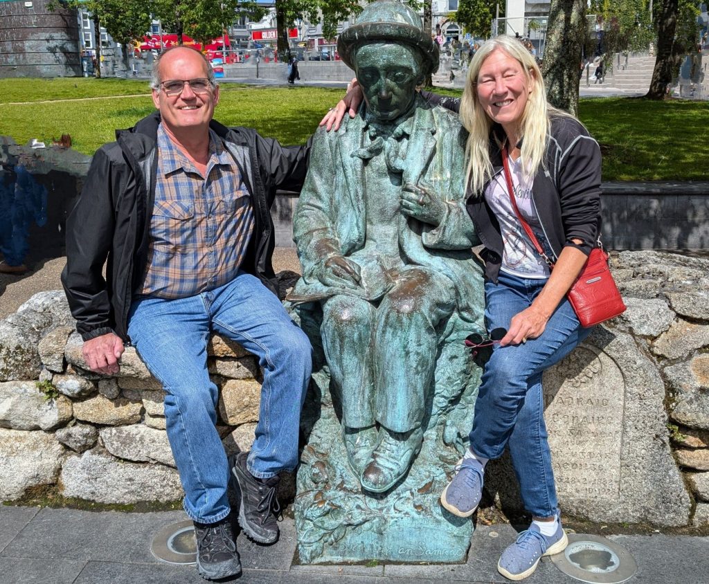
Here are a few more pictures of the waterways and a silver guy.
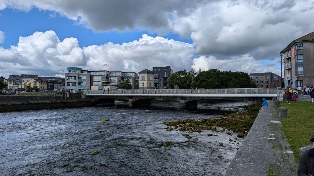
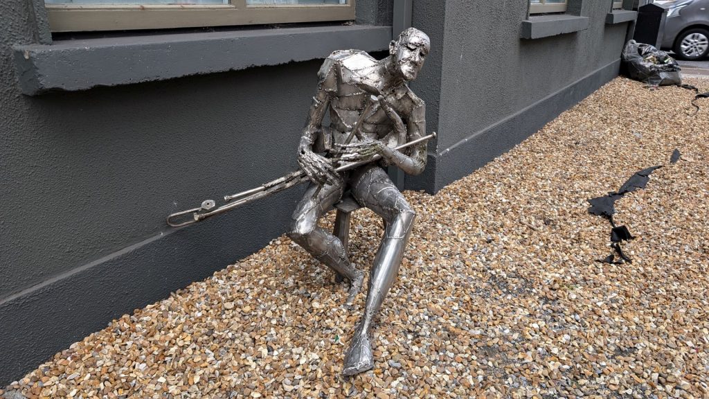
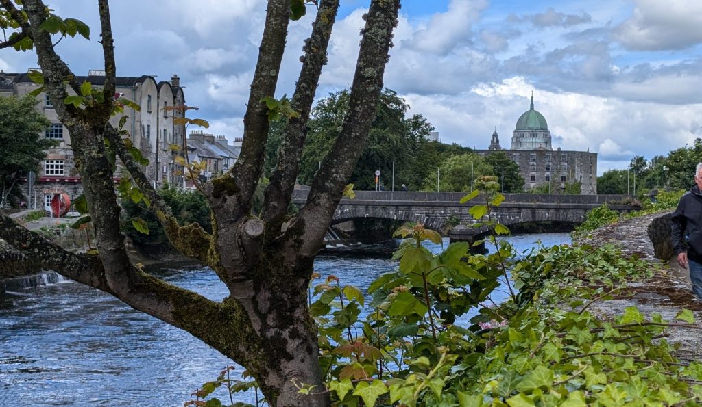
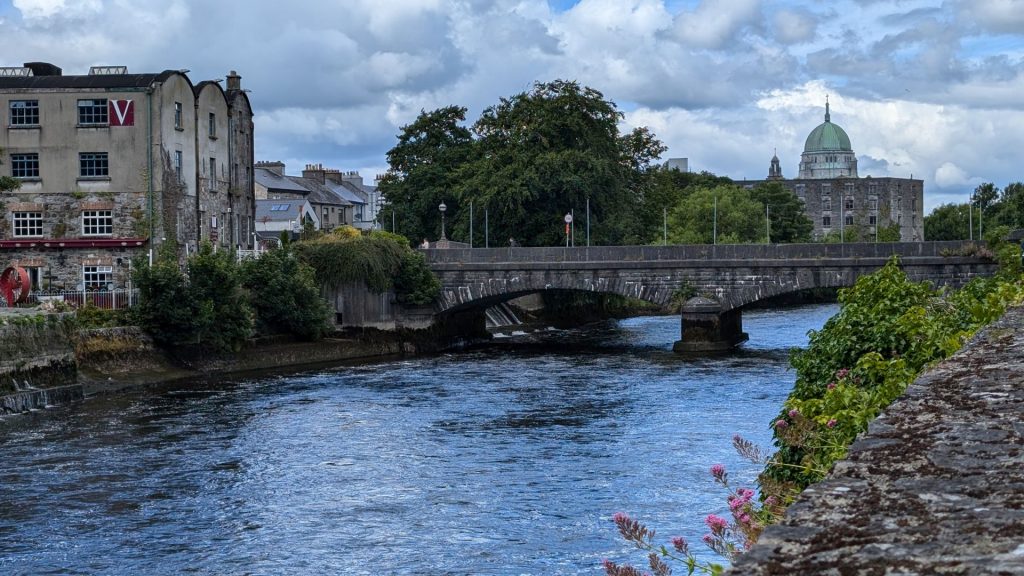
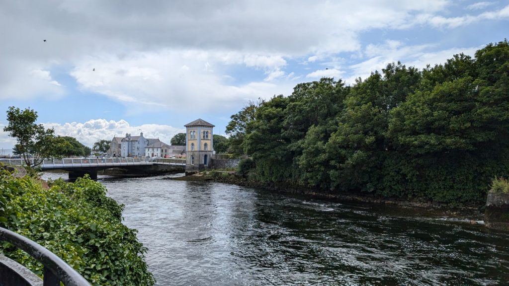
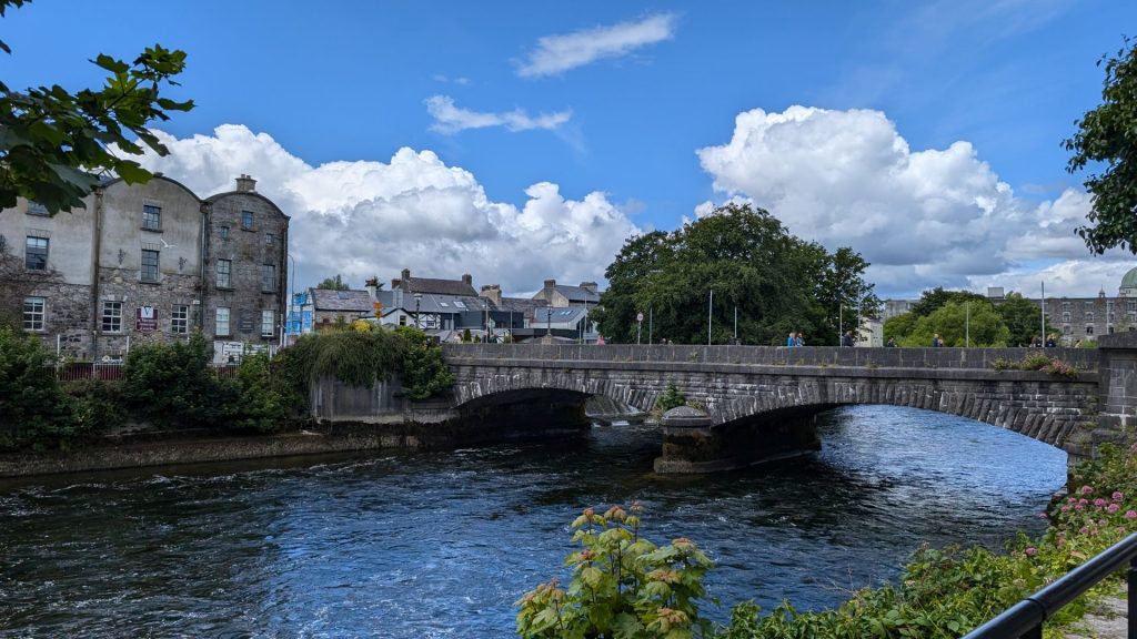
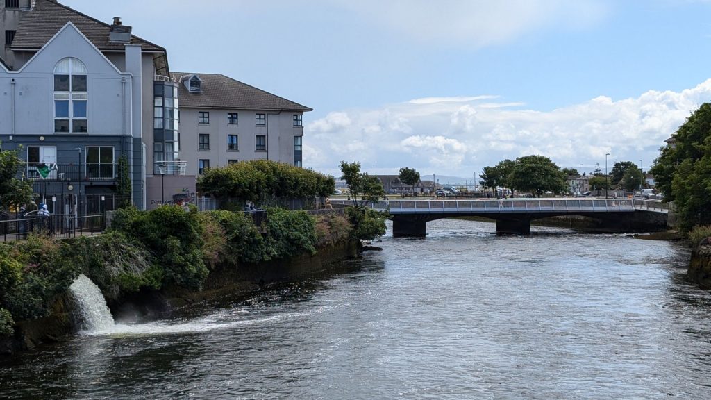
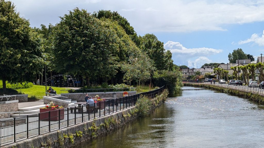
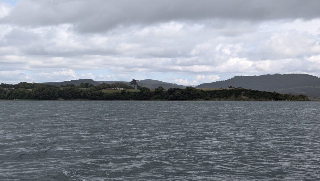
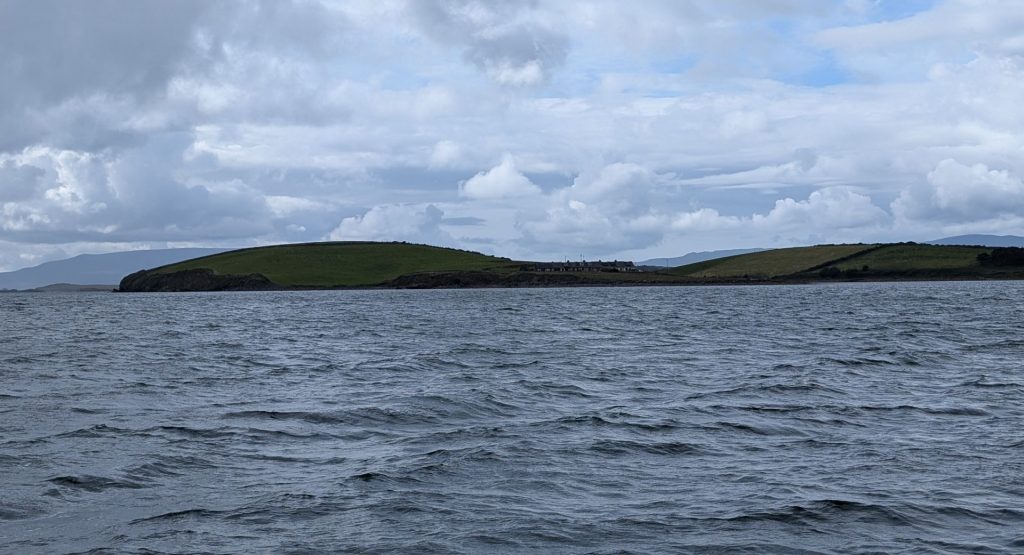
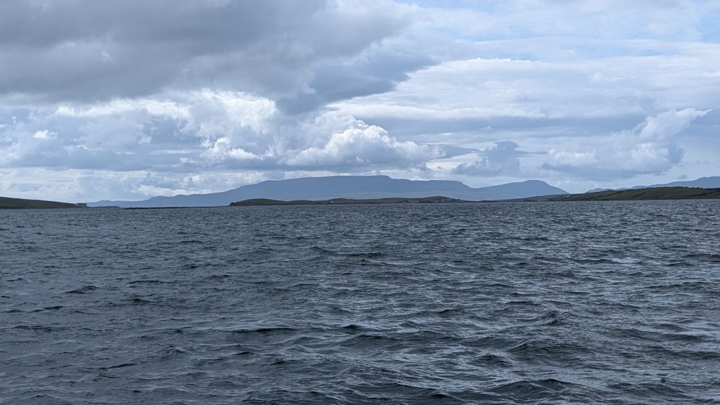
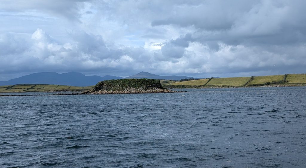
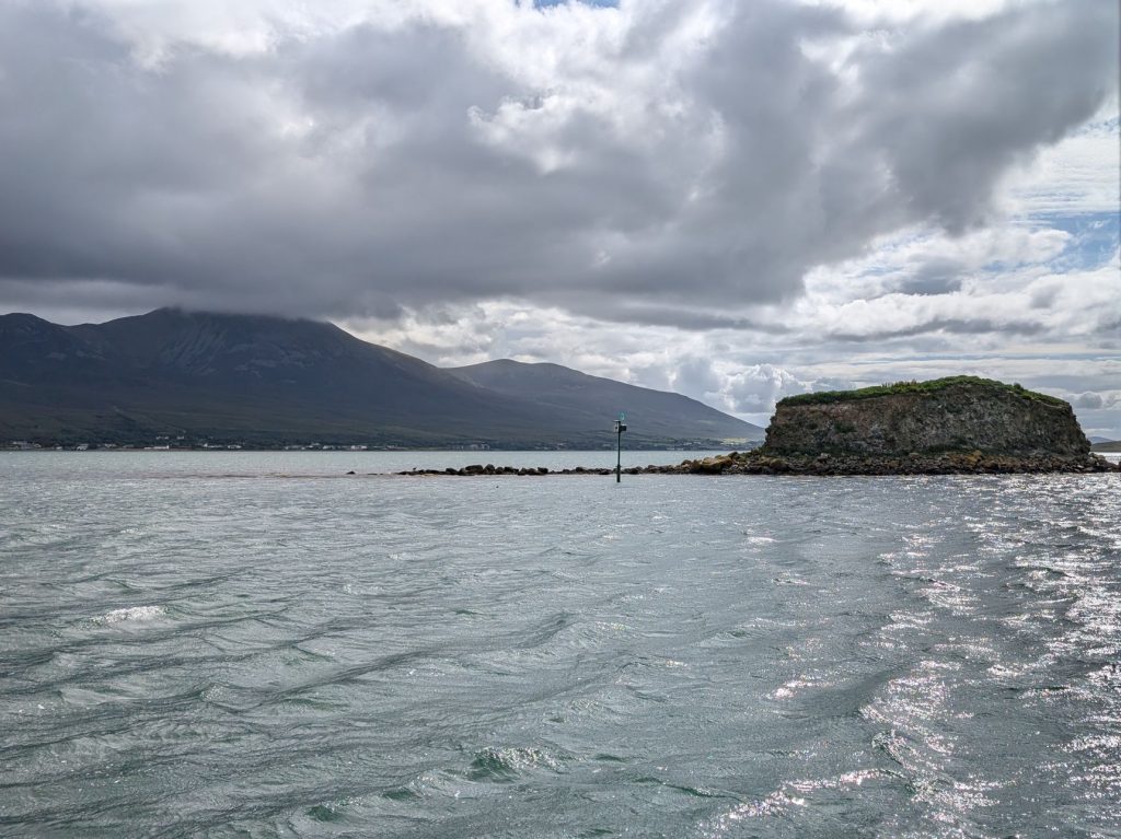
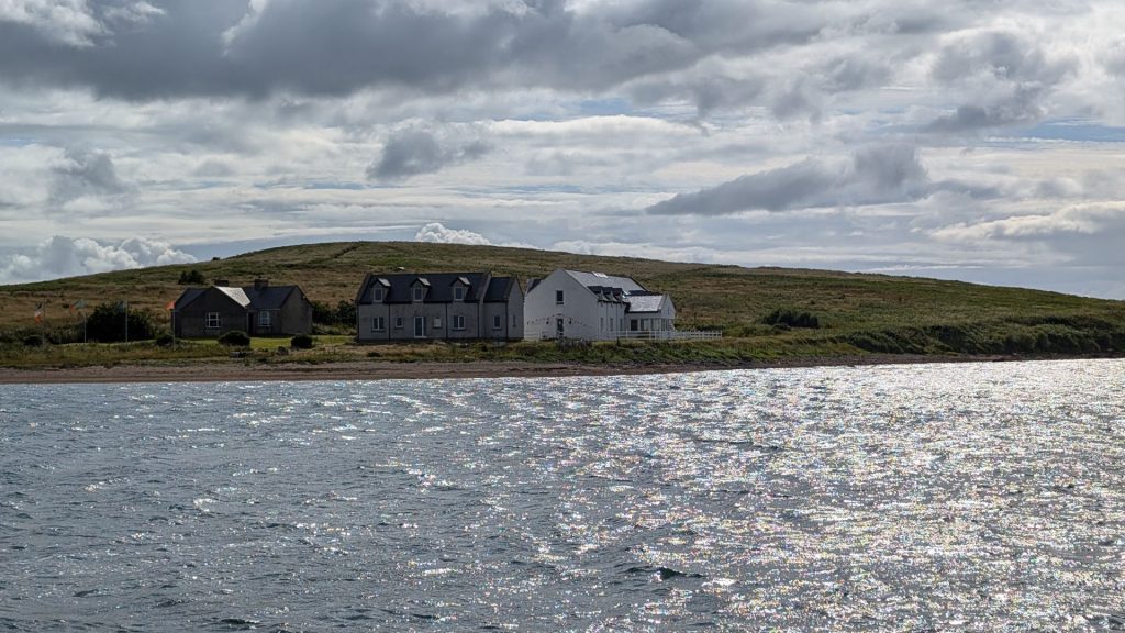
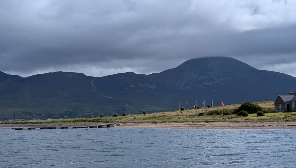
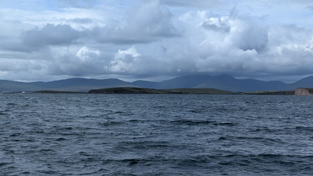
We drove to Westport that afternoon and arrived in time for a 5:00 p.m. “cruise” on Clew Bay. There was a woman narrating the entire time (outside, top deck) and, had we listened to her, we might have learned a lot. But instead, we spent time playing with her dog (inside, main level).
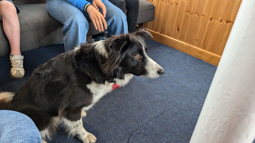
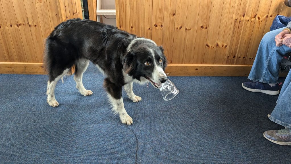
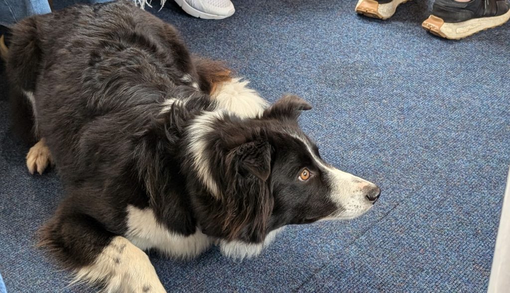
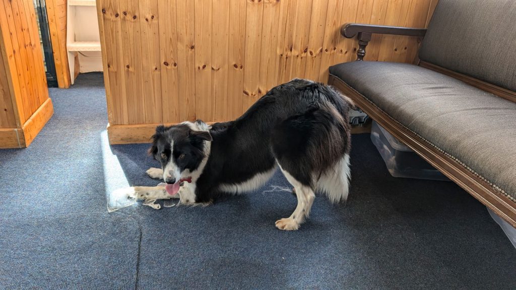
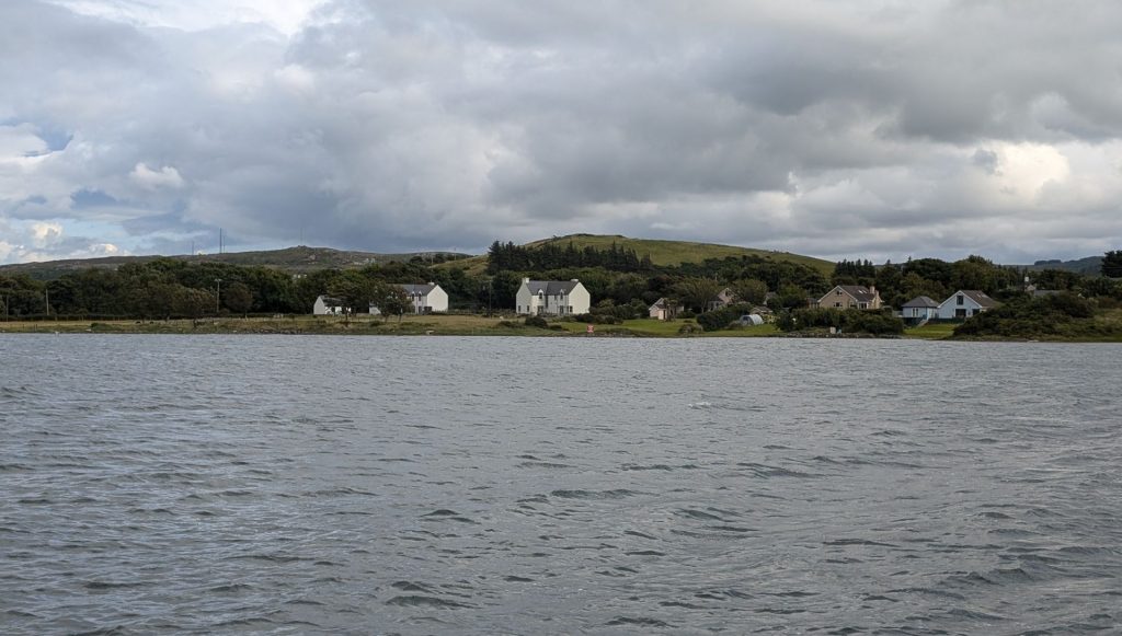
To be fair, I did take a few pictures of the surrounding area . . .
Harbor Seals
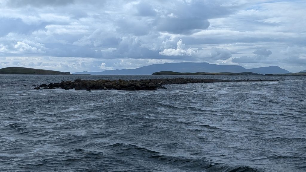
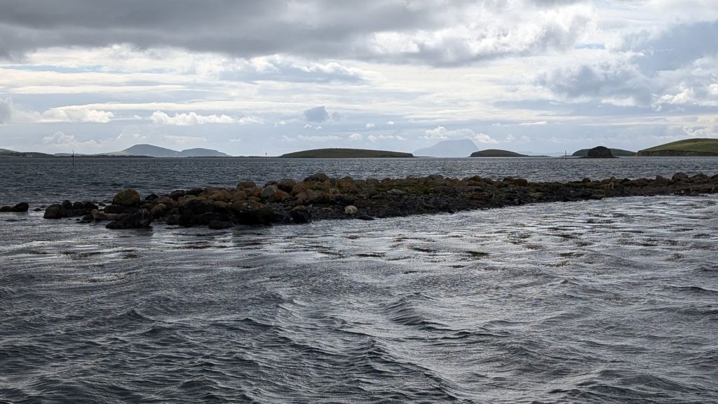
The narrator got our attention when she began talking about harbor seals. Clew Bay’s archipelago of islands is home to squillions of that most-endearing of marine mammals. We sailed quite close to them, but not close enough to get a clear picture with my Pixel phone. I am not certain you would know they are seals if I didn’t tell you. 🙂
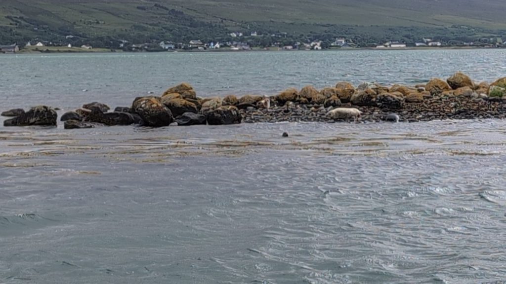
Super blurry shot captured from a video (which wasn’t any better):
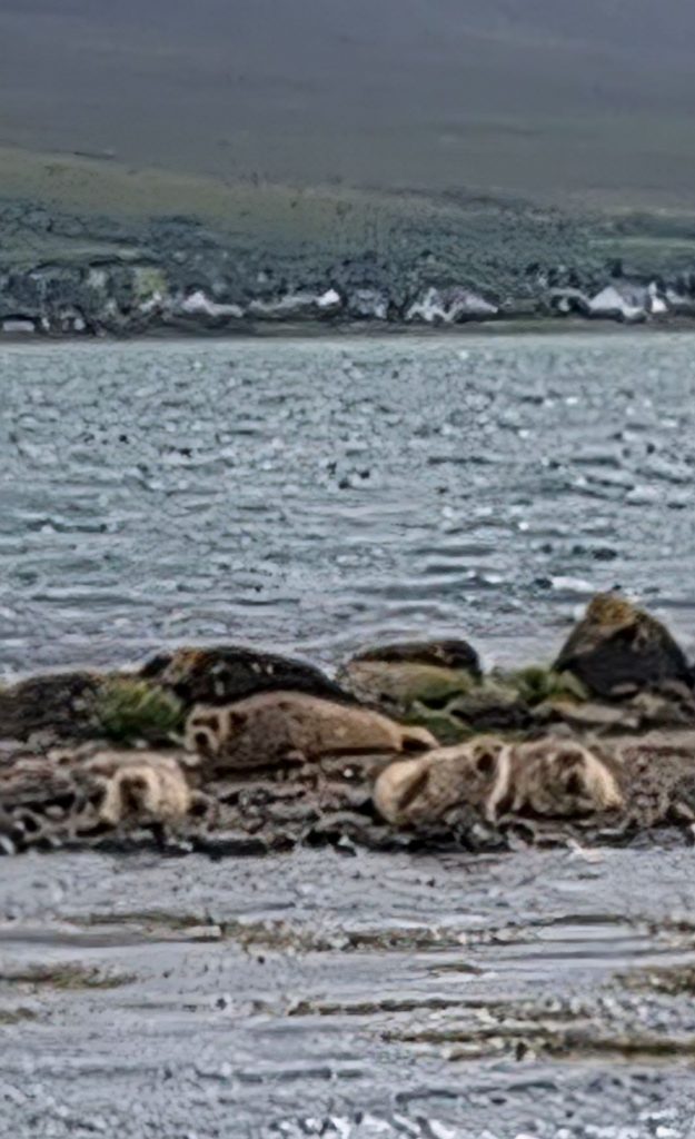
We’ll end today’s post with that stellar picture of harbor seals!
