We have almost completed our loop of the island and are back in Northern Ireland.
Giant’s Causeway
Little did we know just how amazing (did I see “spectacular” and “dramatic” in the title of this post?) today was going to be! These aren’t just beautiful cliffs, the Giant’s Causeway and Causeway Coast is a spectacular area of global geological importance on the sea coast at the edge of the Antrim plateau in Northern Ireland. More from the source (https://whc.unesco.org/en/list/369/) that provided the previous sentence:
“The most characteristic and unique feature of the site is the exposure of some 40,000 large, regularly shaped polygonal columns of basalt in perfect horizontal sections, forming a pavement. This dramatic sight has inspired legends of giants striding over the sea to Scotland. Celebrated in the arts and in science, it has been a visitor attraction for at least 300 years and has come to be regarded as a symbol for Northern Ireland.
The property’s accessible array of curious geological exposures and polygonal columnar formations formed around 60 million years ago make it a ‘classic locality’ for the study of basaltic volcanism. The features of the Giant’s Causeway and Causeway Coast site and in particular the strata exposed in the cliff faces, have been key to shaping the understanding of the sequences of activity in the Earth’s geological history.”
I took a guided tour that lasted about 30 minutes (and covered just a portion of the Causeway), then walked a bit more and met up with Michael. I was glad we hadn’t taken a tour bus, because we did not want to have a time limit for our visit. We stayed until our hearts were full.
I have roughly 1,000,000 pictures, but before I share every last one of them, let’s talk a bit more about the formations and the legends.
The Giant’s Causeway in Northern Ireland was formed by lava that cooled and solidified into basalt columns over a period of millions of years. Here’s the “30,000′ view” of it:
1. Earth’s crust cracks: As Europe separated from North America, cracks appeared in the Earth’s crust.
2. Lava flows: Molten rock and lava filled the cracks and spread out on the surface.
3. Lava cools: The lava cooled slowly and evenly, creating stress patterns that caused contraction cracks.
4. Columns form: The cracks permeated the lava, creating thousands of columns.
5. Erosion: Rivers formed in the basalt, and more lava flowed into the river valleys.
A bit more, this from Wikipedia:
“Around 50 to 60 million years ago, during the Paleocene Epoch, Antrim was subject to intense volcanic activity, when highly fluid molten basalt intruded through chalk beds to form an extensive volcanic plateau. As the lava cooled, contraction occurred. Horizontal contraction fractured in a similar way to drying mud, with the cracks propagating down as the mass cooled, leaving pillar like structures that also fractured horizontally into “biscuits.” In many cases, the horizontal fracture resulted in a bottom face that is convex, while the upper face of the lower segment is concave, producing what are called “ball and socket” joints. The size of the columns was primarily determined by the speed at which lava cooled. The extensive fracture network produced the distinctive columns seen today. The basalts were originally part of a great volcanic plateau called the Thulean Plateau that formed during the Paleocene.”
Legends
There are several legends about how the Giant’s Causeway was formed, but this is the one our guide shared with us (I also found online; I wouldn’t have remembered the details).
This myth is about a well-known Irish mythological hero, Fionn Mac Cumhaill (anglicized as Finn McCool). Finn was a giant and the protagonist of several myths. In this story, Finn has a rivalry with a Scottish giant named Benandonner. He has never actually met Benandonner, but they have always mocked each other from their own coasts across the sea from one another. Finn decides he wants to fight this Scottish giant, but in Irish legend, giants hate to get their feet wet. He decides that in order to fight Benandonner, he should spend all night throwing rocks across the sea to form a bridge. In the morning, he crosses his bridge of rocks to sneak up on Benandonner, only to realize when he gets closer to Scotland that Benandonner is absolutely huge, even for a giant. Finn turns around and runs back to Ireland, losing a boot on the way. (There is a large rock which is supposedly his boot, but I didn’t get a picture of it.)
When Benandonner turned around, he barely saw Finn sprinting across the causeway. He was absolutely livid and decided to cross over to Ireland to fight Finn. Finn runs back to his house and goes to his wife Oonagh (which is pronounced “oona”). Oonagh has Finn wrap a towel around himself like a diaper and stick his thumb in his mouth and tells him to go sit in the baby cot. Just as he does this, Benandonner arrives at the door and demands to see Finn McCool. Oonagh tells him that Finn is out at the moment, but he can come in and have a cup of tea while he waits. Benandonner sits in the kitchen and notices noise coming from the baby cot. He questions this and Oonagh tells him, “oh, that’s just the baby, Finn Jr. He’s the spitting image of his dad.” Benandonner looks at “Finn Jr.” and asks Oonagh how old he is. She tells him that the “baby” is about 3 months old. The Scottish giant exclaims, “If that humongous baby is only 3 months old, I don’t want to wait around to see the size of the father!” He runs all the way back to Scotland, breaking up the bridge along the way and leaving in his wake what is now known as the Giant’s Causeway.
And now, our pictures.
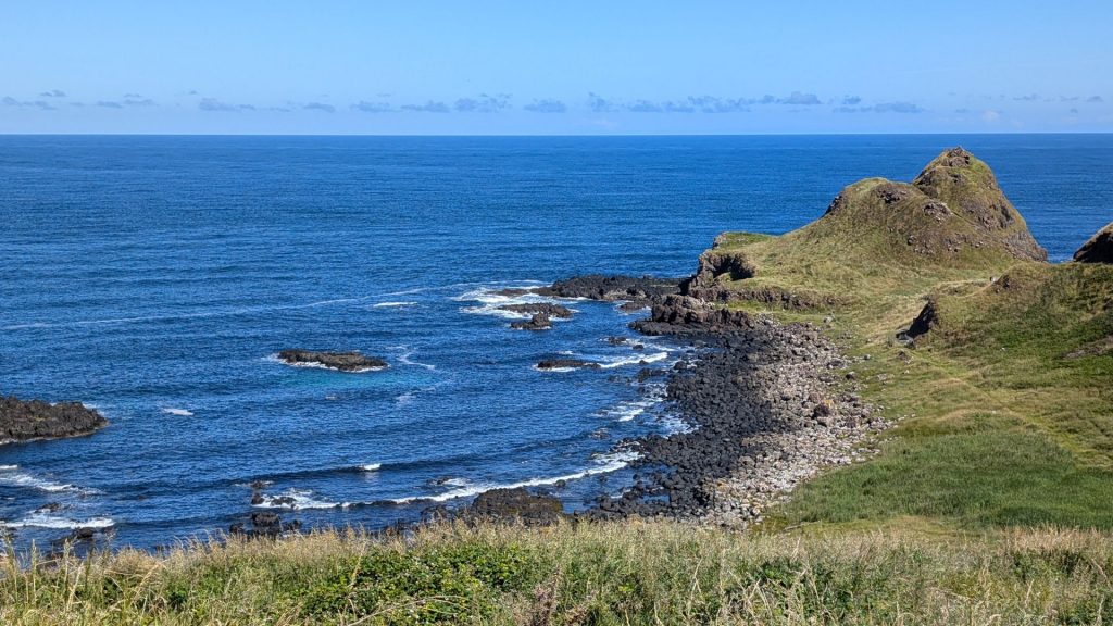
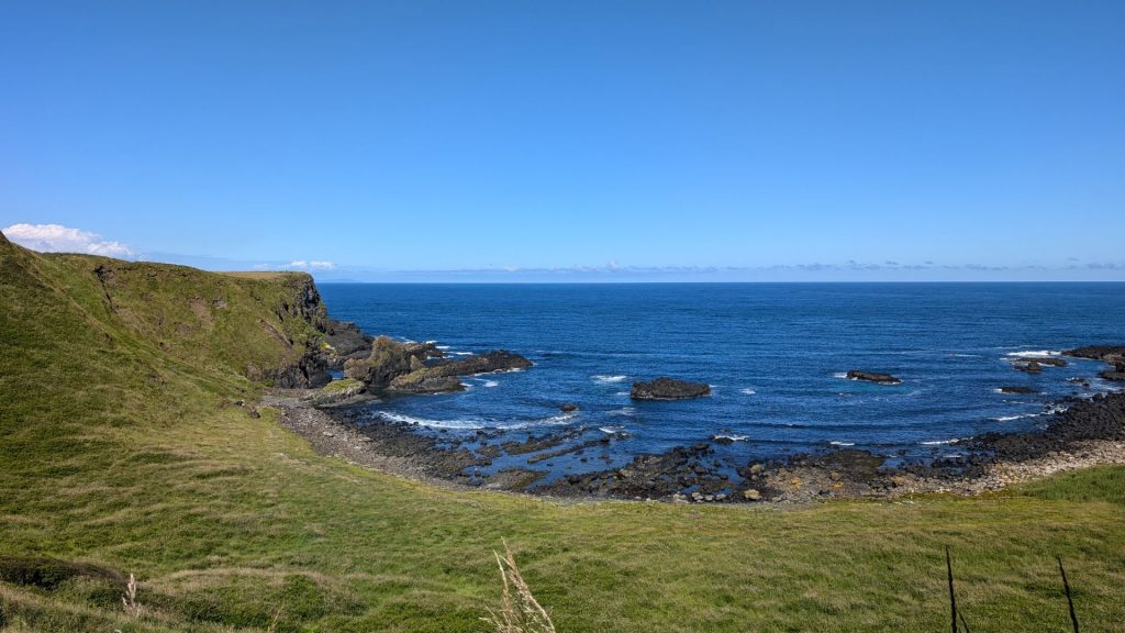
And right away I have an additional story. I was with the guide at this time and he told the tale of Humphry, the camel. Sadly, I only remember the highlight, which is that the other camels all had two humps, but this one only had one. Hence the name: Humphry (hump free). You can see Humphry in both pictures below, but a bit closer in the middle in the right-hand picture.
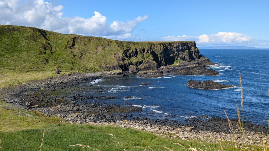
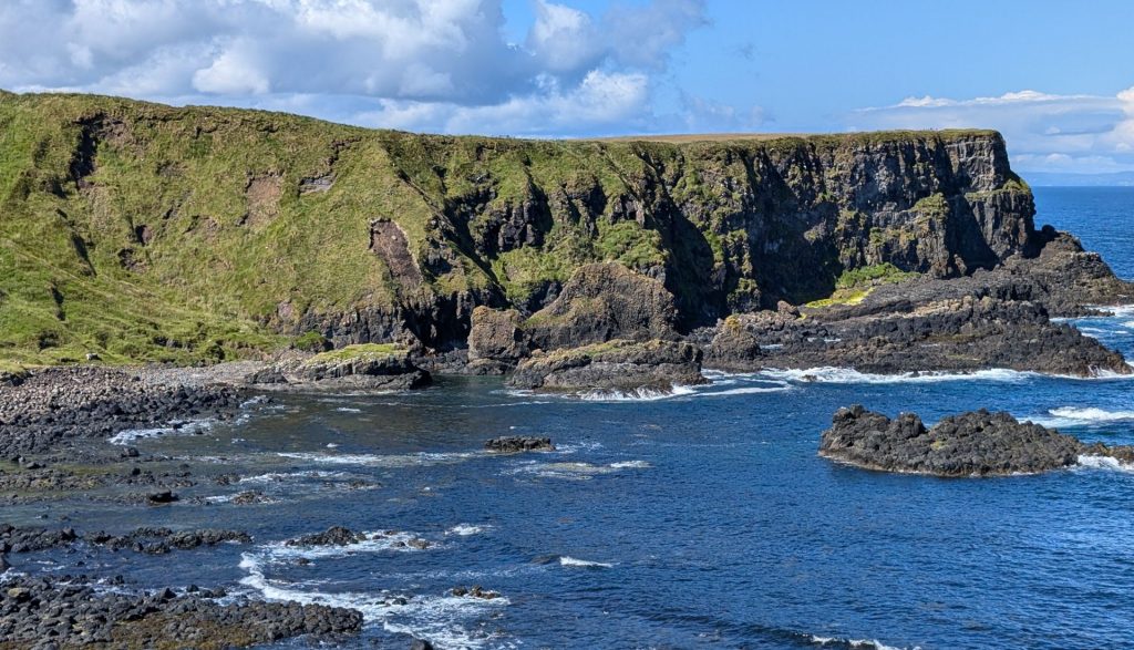
The picture on the right-hand side below indicates that we have moved onto the second bay, as those peaks were originally on our right.
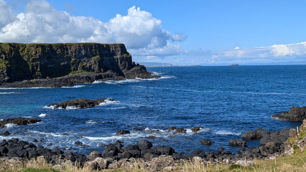
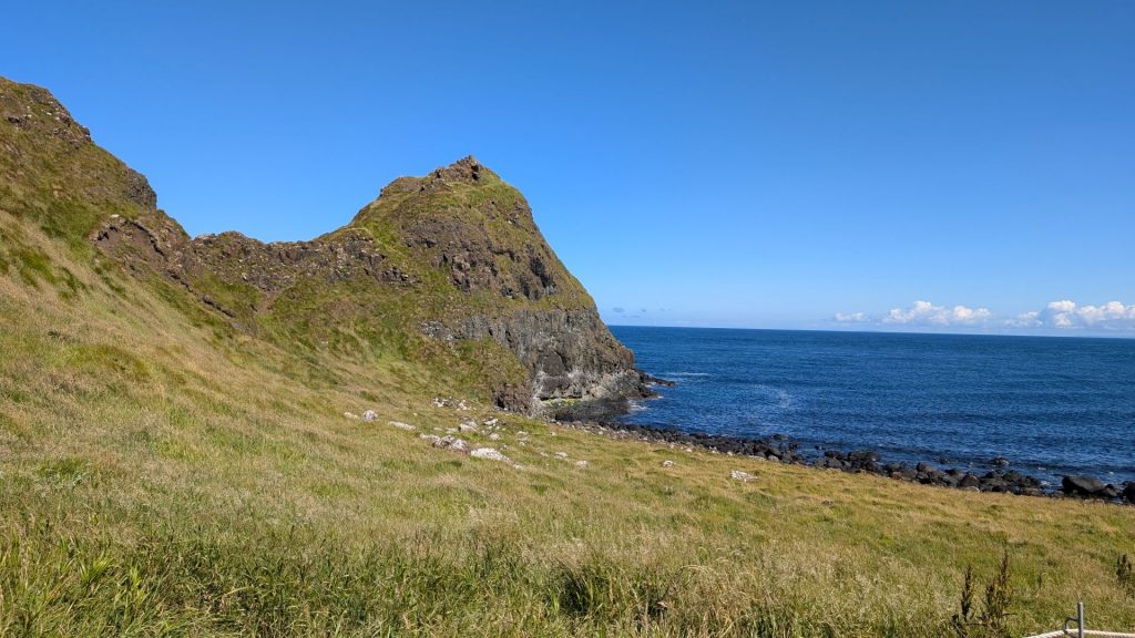
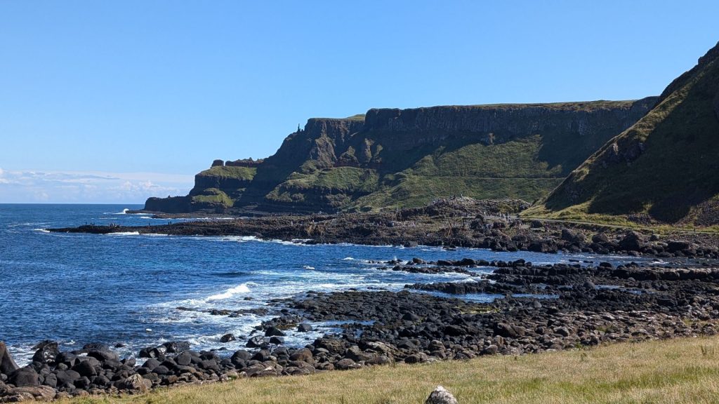
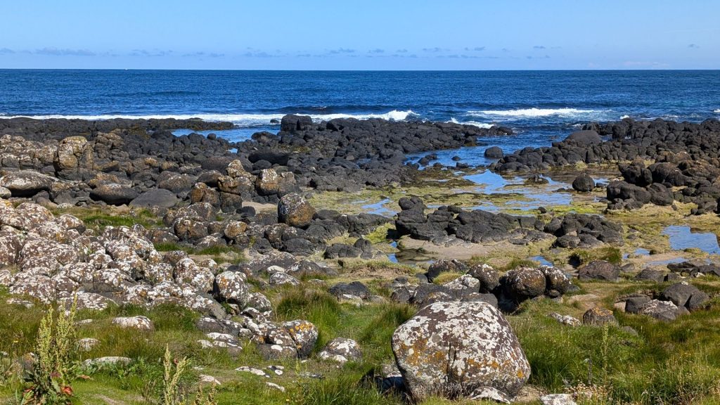
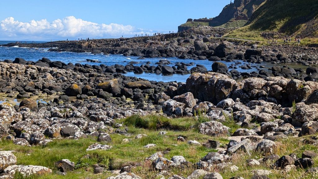
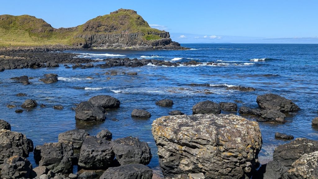
We are now approaching the columns, starting with short ones.
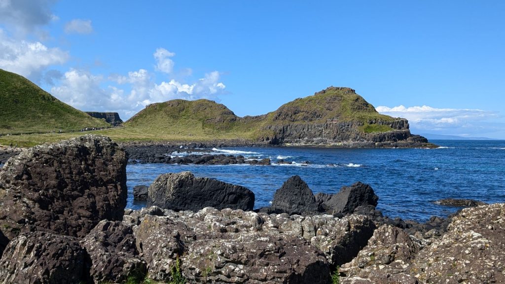
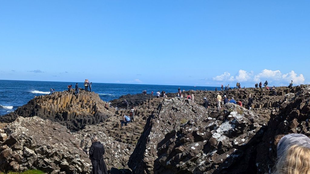
This is where our guide left us. He encouraged us to climb around and continue walking to the other bays.
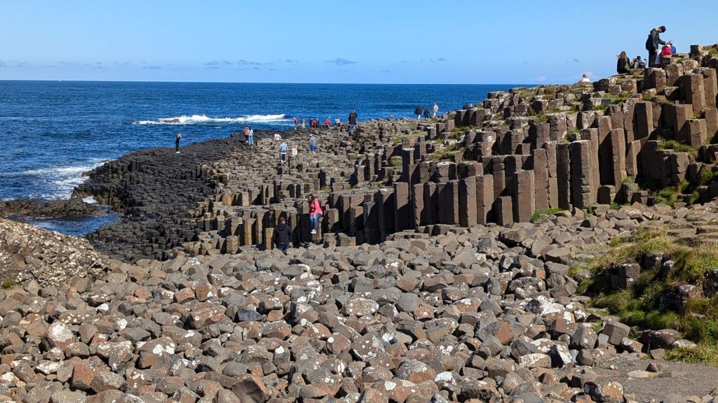
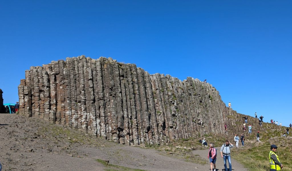
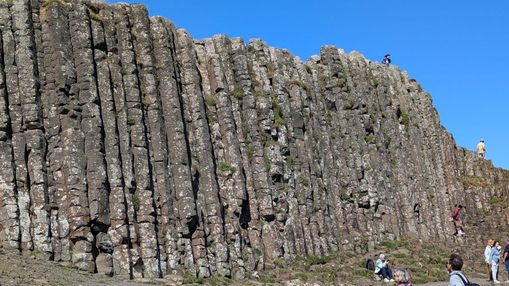
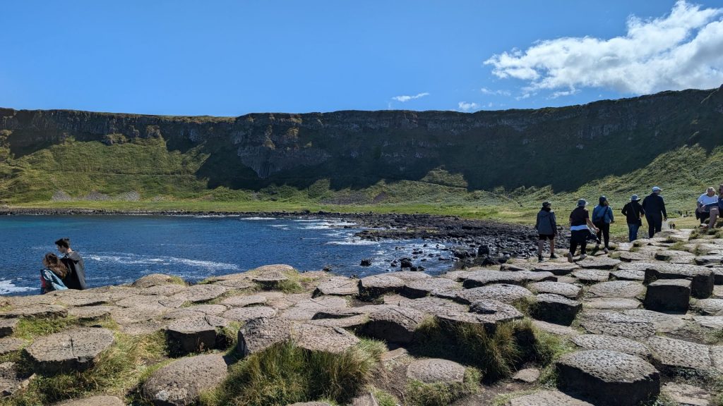
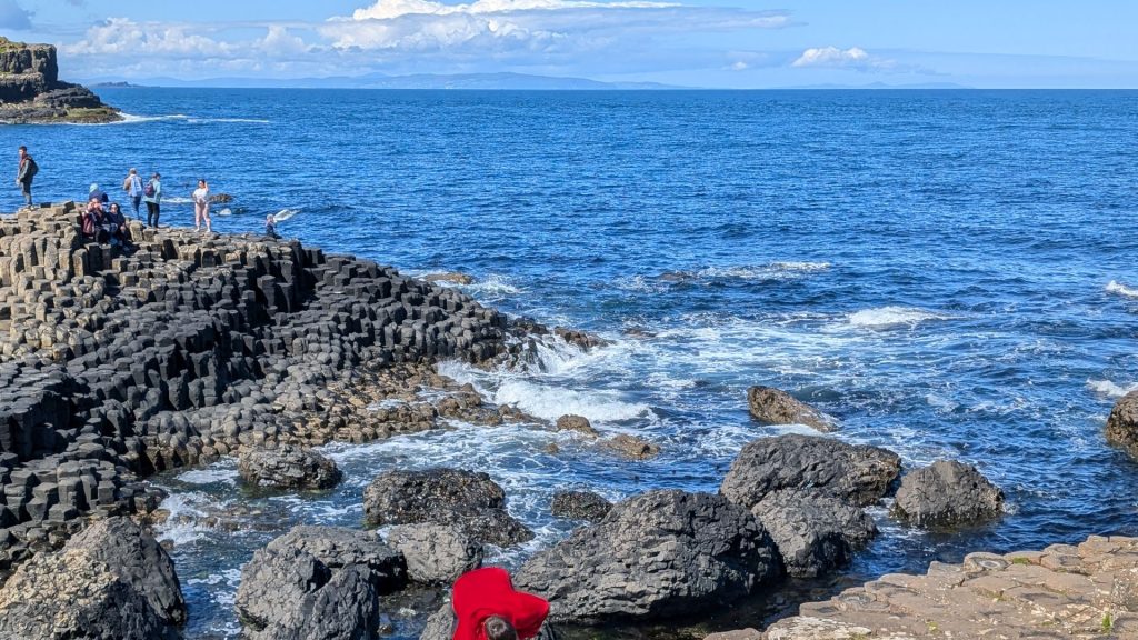
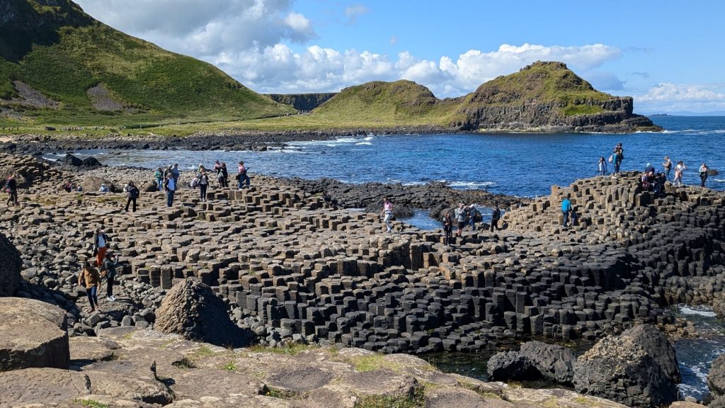
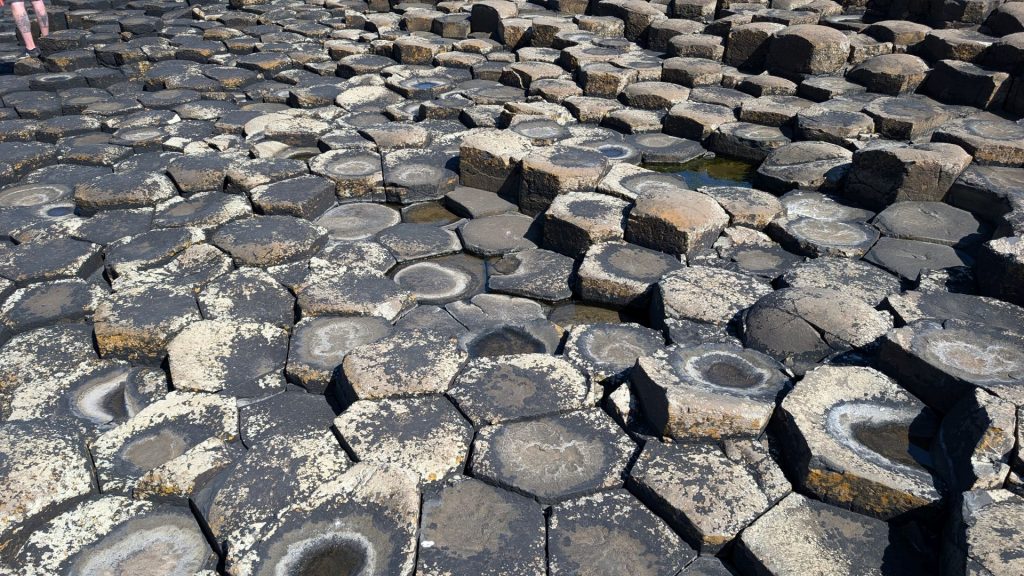
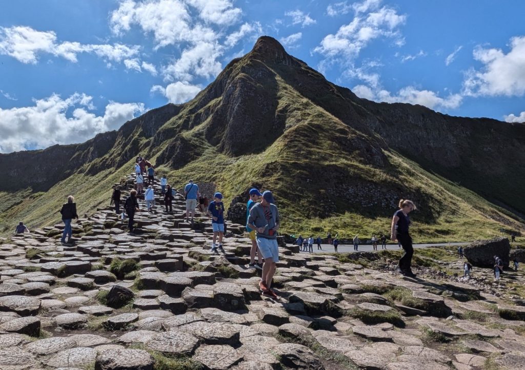
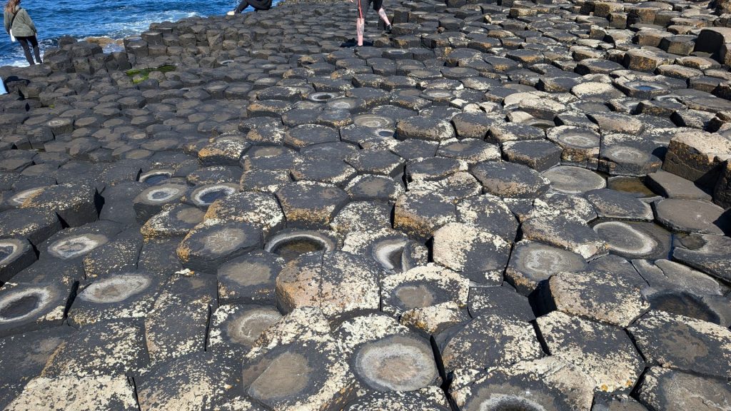
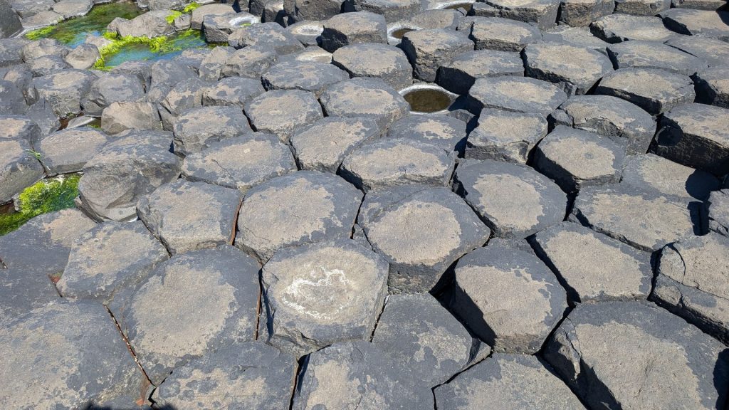
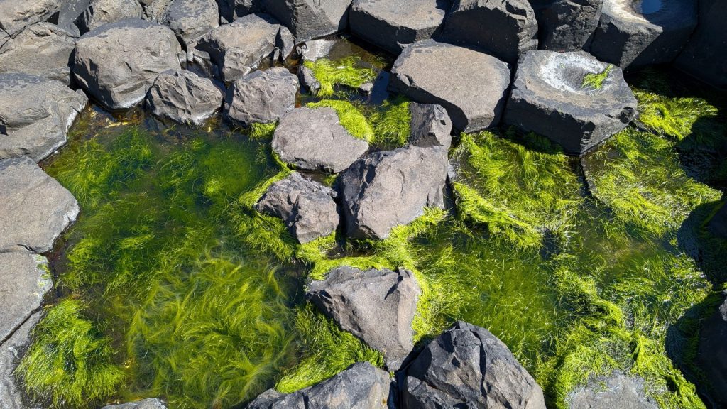
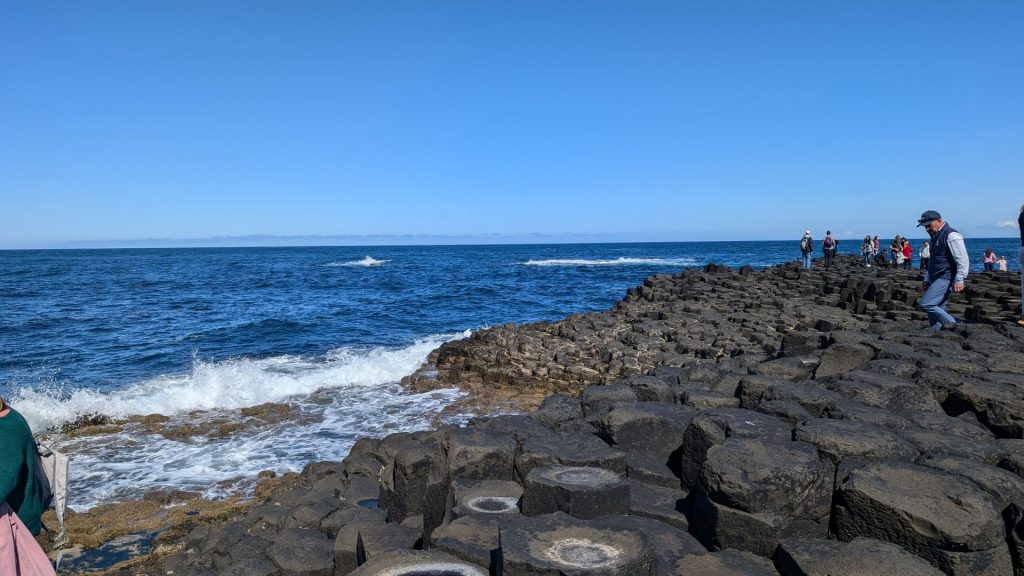
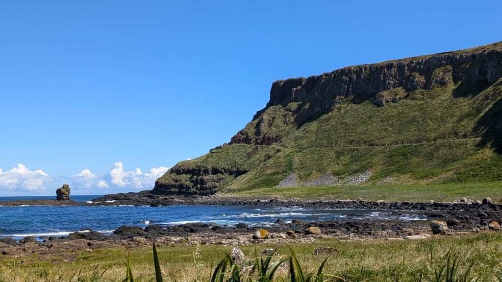
There are a few paths on the Causeway so one can choose the route they like the most. I took the lower path on the way out and the upper path – with Michael – on the way back.
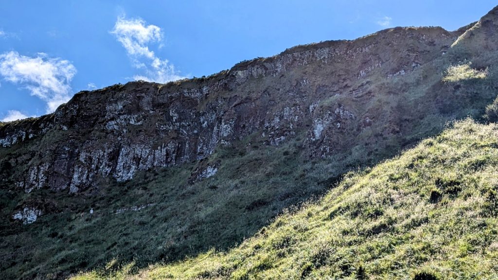
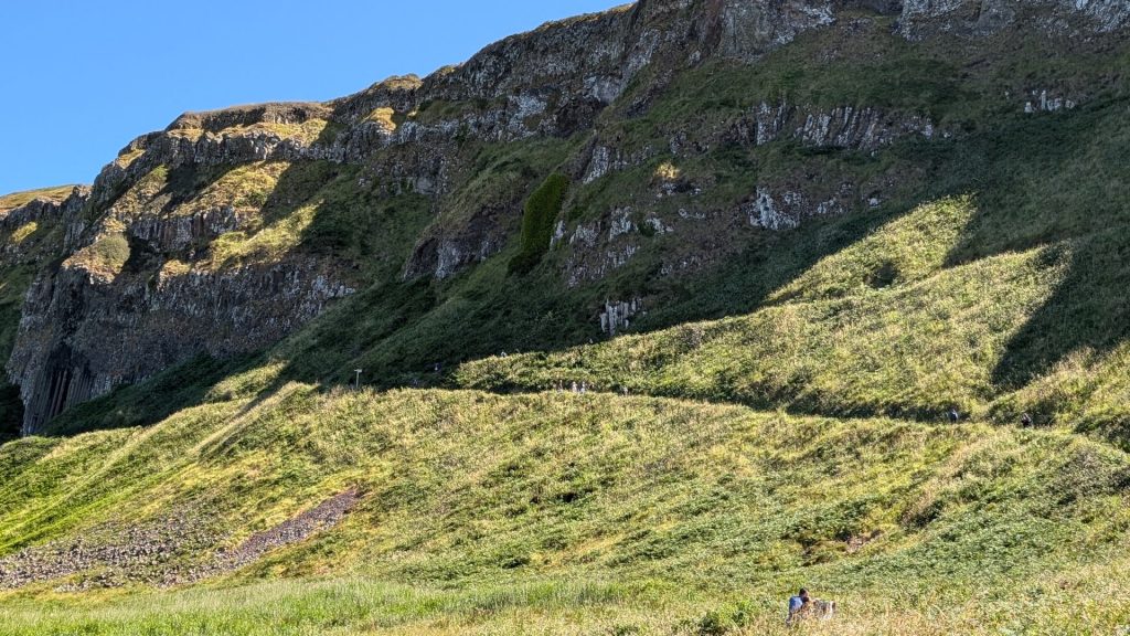
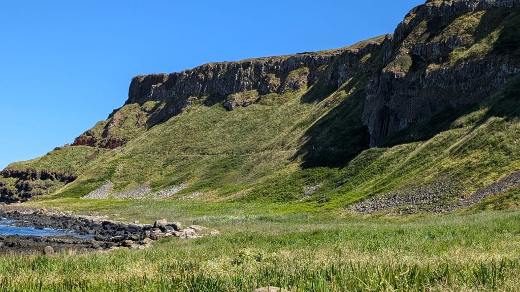
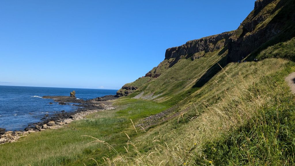
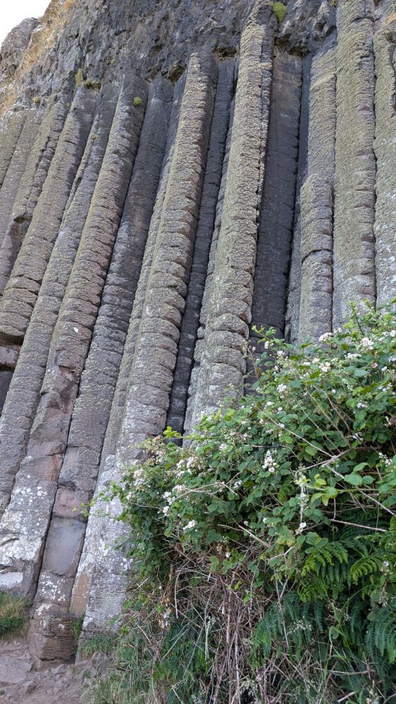
The big columns look small when viewed from the other side of the bay (below right).
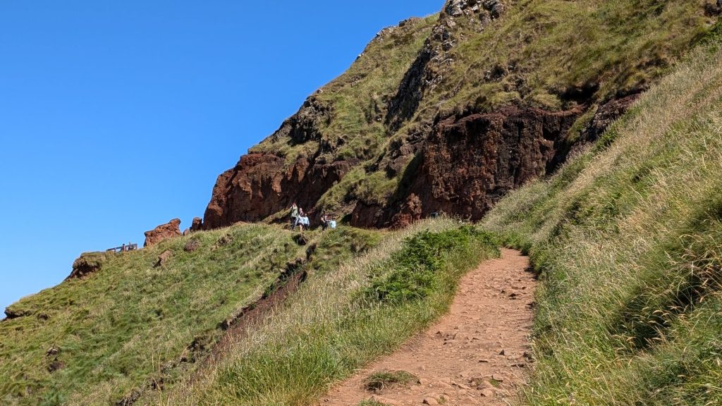
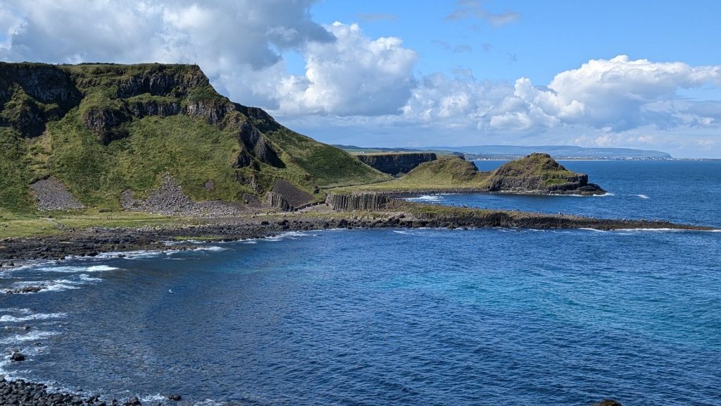
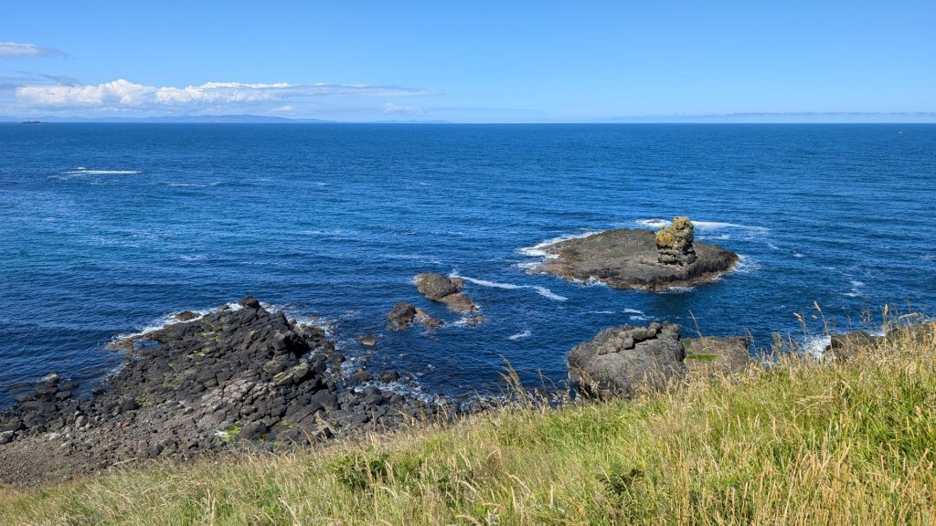
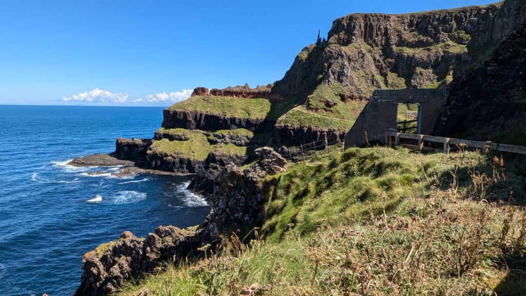
Into a new bay (below right)
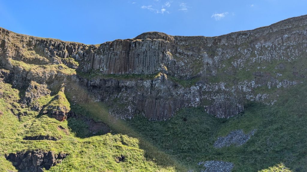
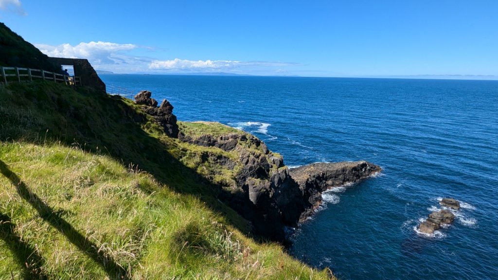
Peek-a-boo!
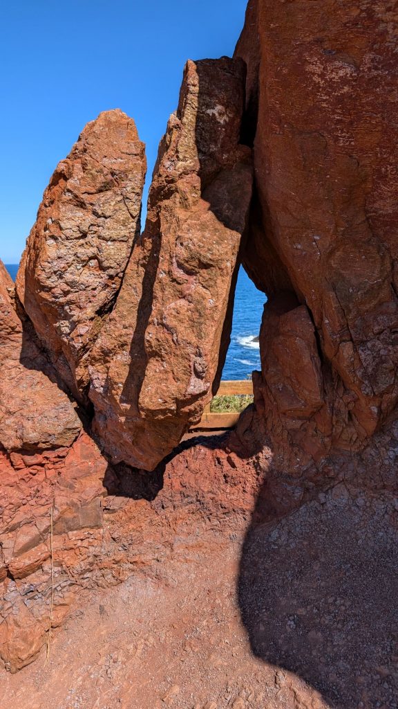
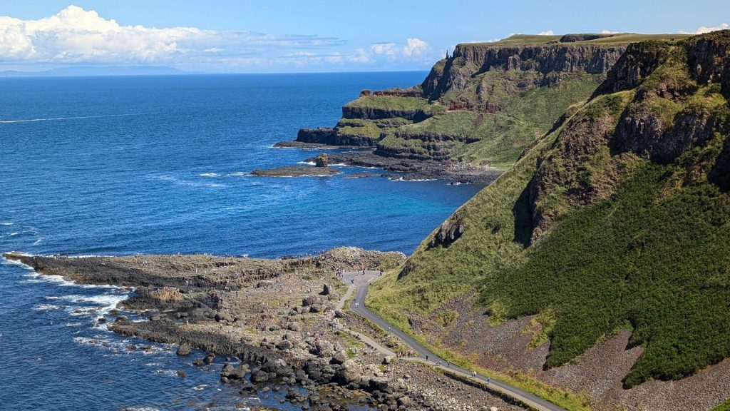
The new bay provided a stellar view (below). We didn’t go farther than this. If I recall correctly, the path ended here.
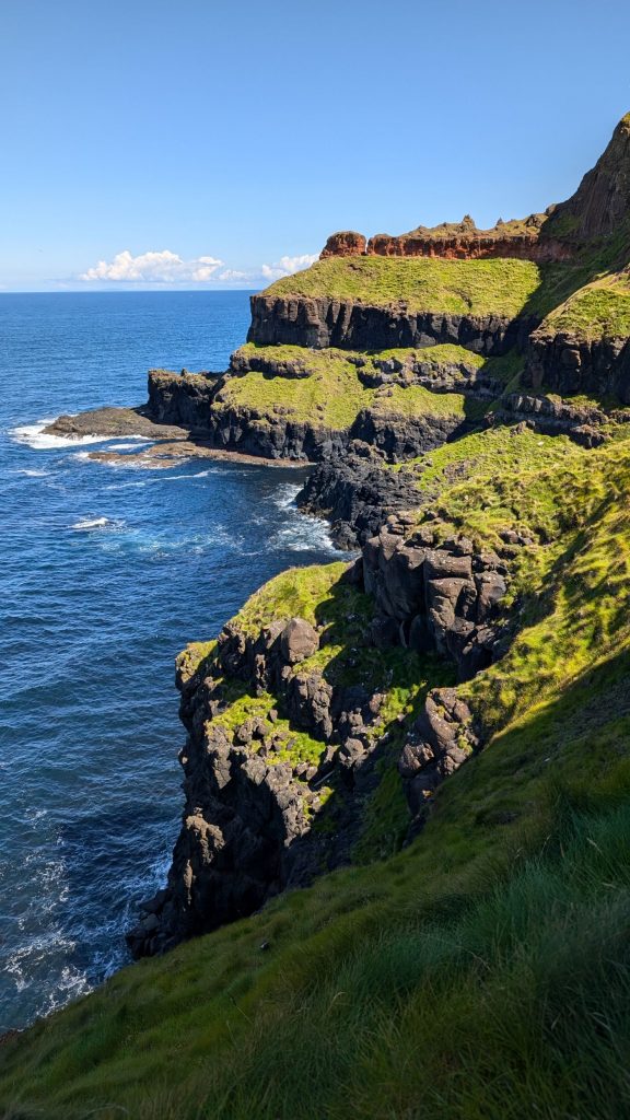
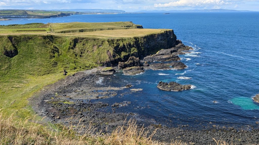
We took the upper path back, which allowed us to see the beauty as seen from below from “up top.”
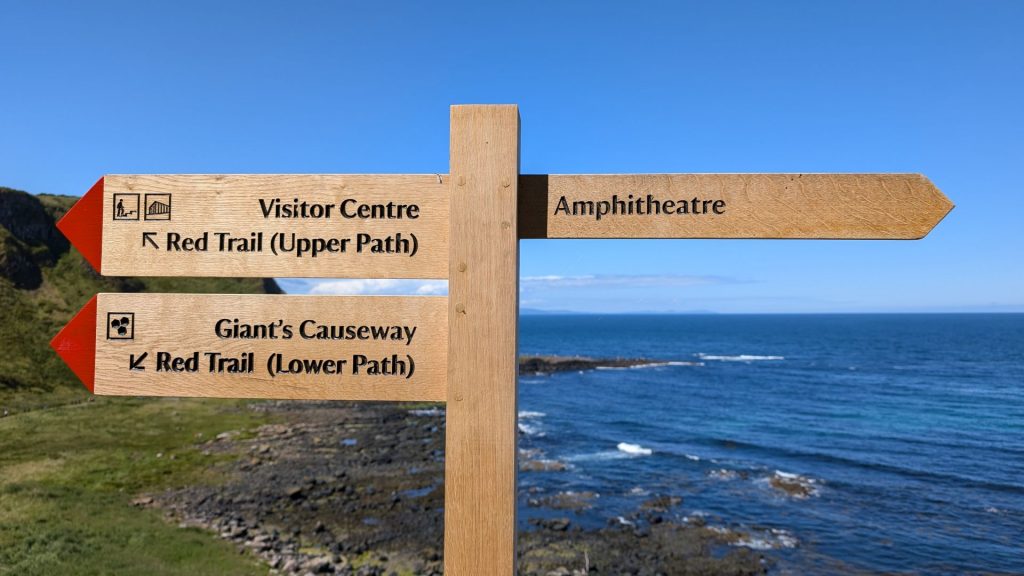
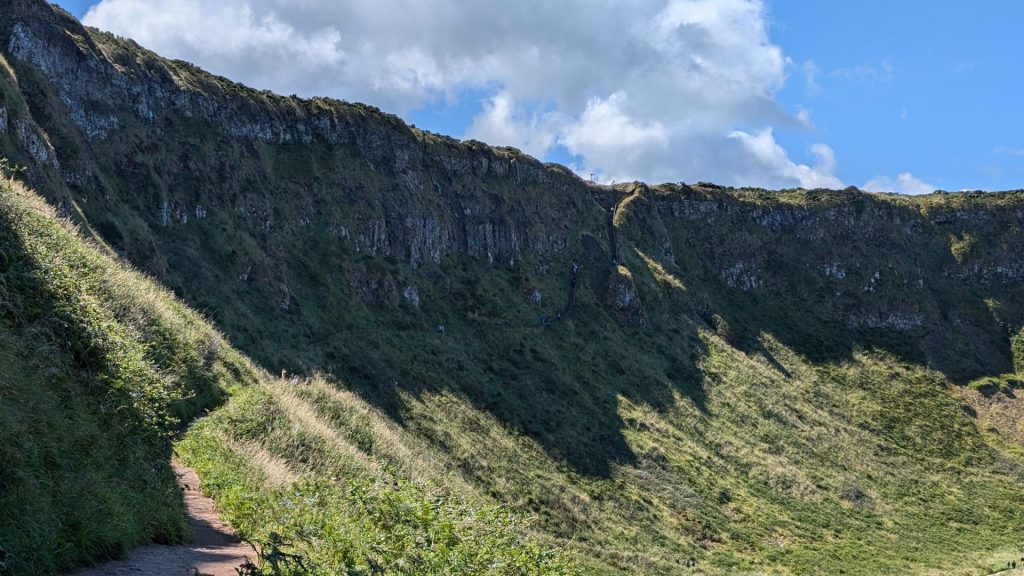
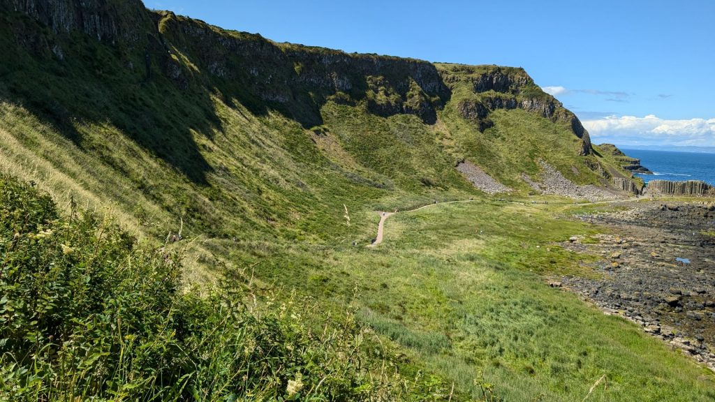
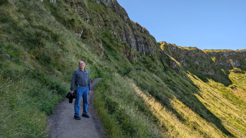
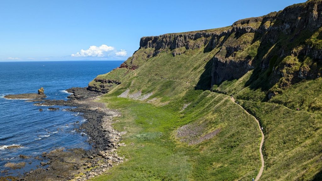
The upper path ended with two sets of stairs.
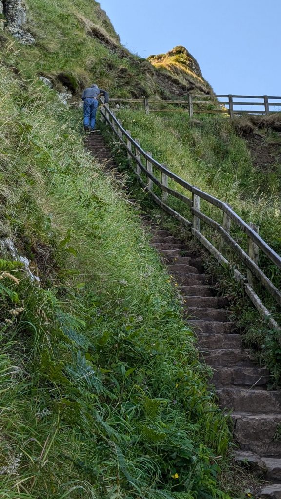
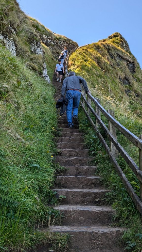
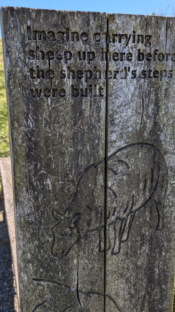
These took you to this sign:
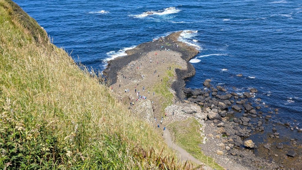
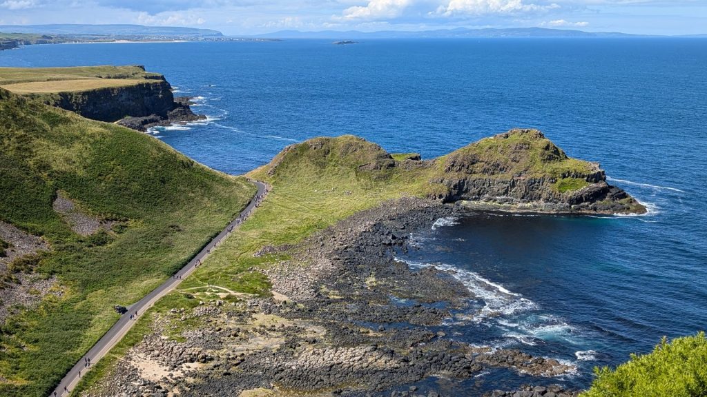
You can tell that we were up rather high when you look at the “big” columns below us and they don’t look so big.
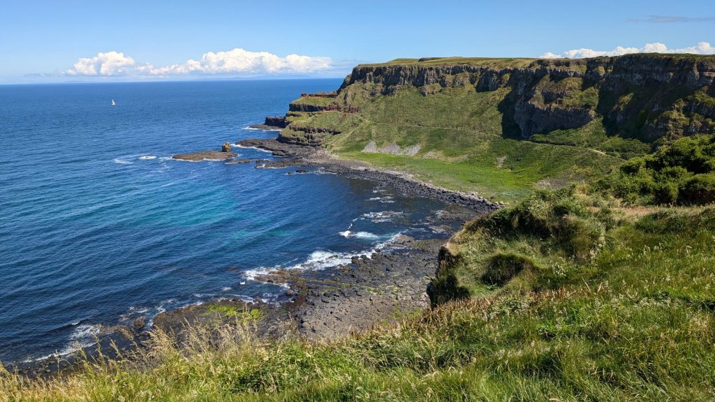
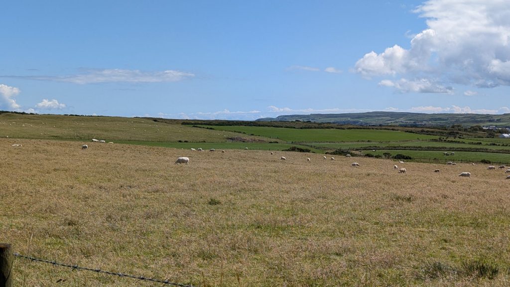
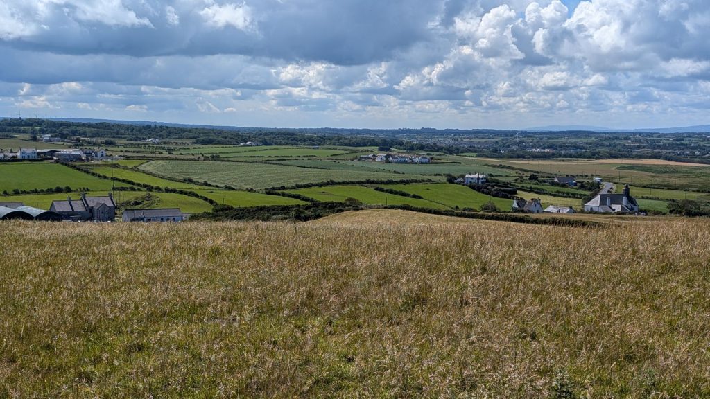
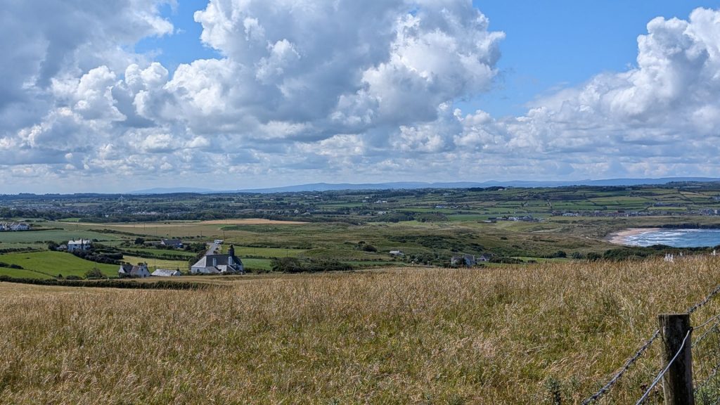
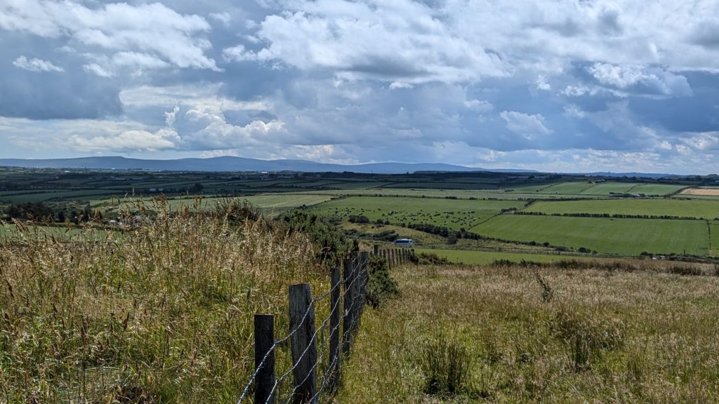
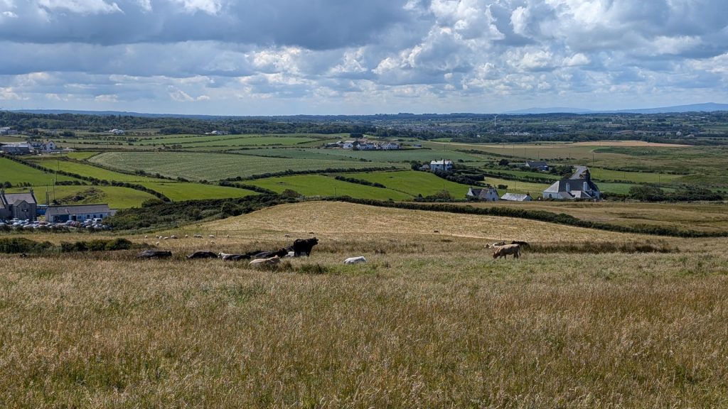
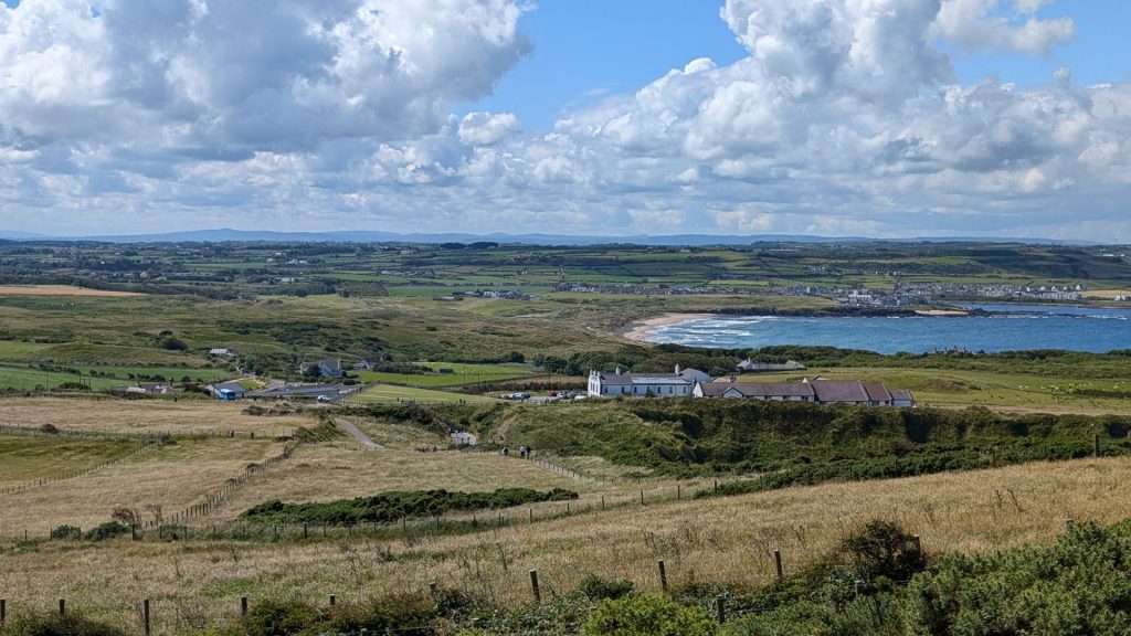
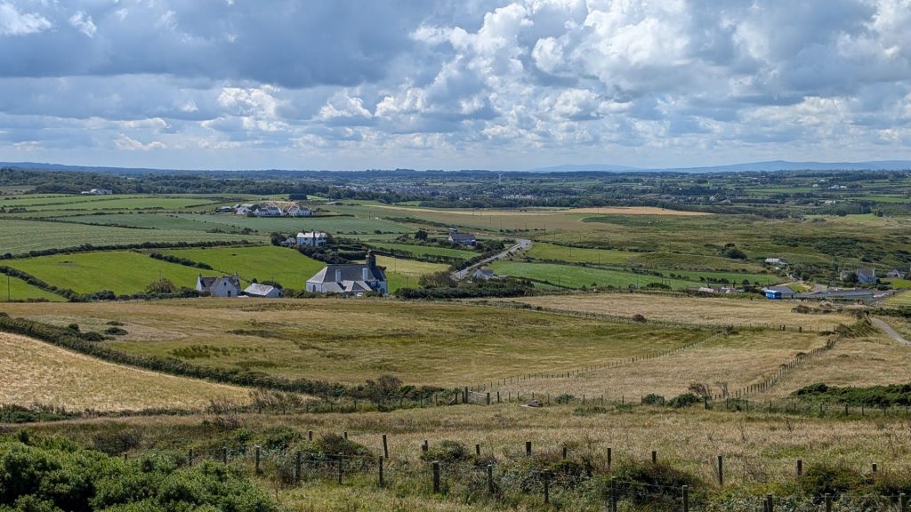
The “land” side has loads of bucolic sights.
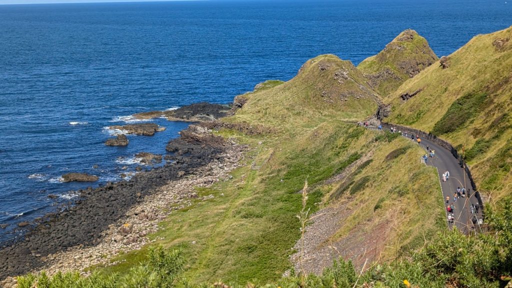
And, we’re back to the first bay we visited:
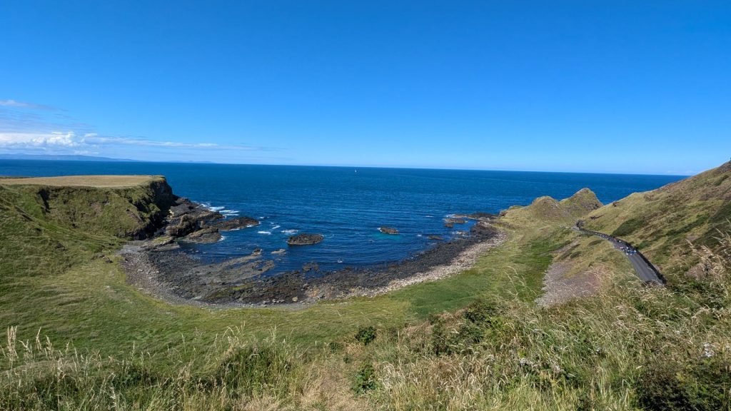
And now to the second site we visited.
Carrick-a-Rede
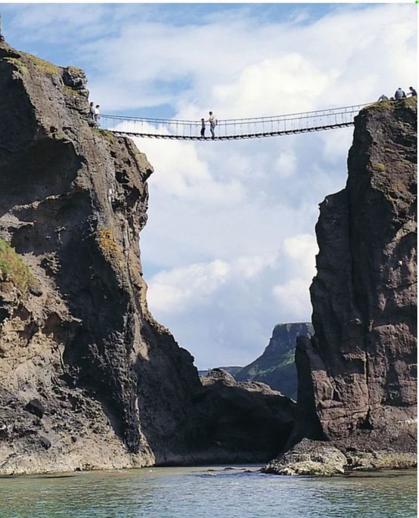
A place of sea and sky, islands and cliffs, flints and fossils. Carrick-a-Rede is a tiny island just off the mainland. A 20m-long, 1m-wide bridge of wire rope spans the chasm between the sea cliffs and Carrick-a-Rede, swaying 30m above the rock-strewn water.
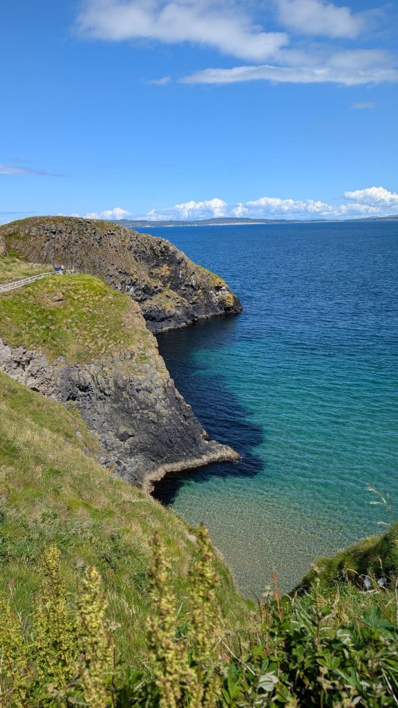
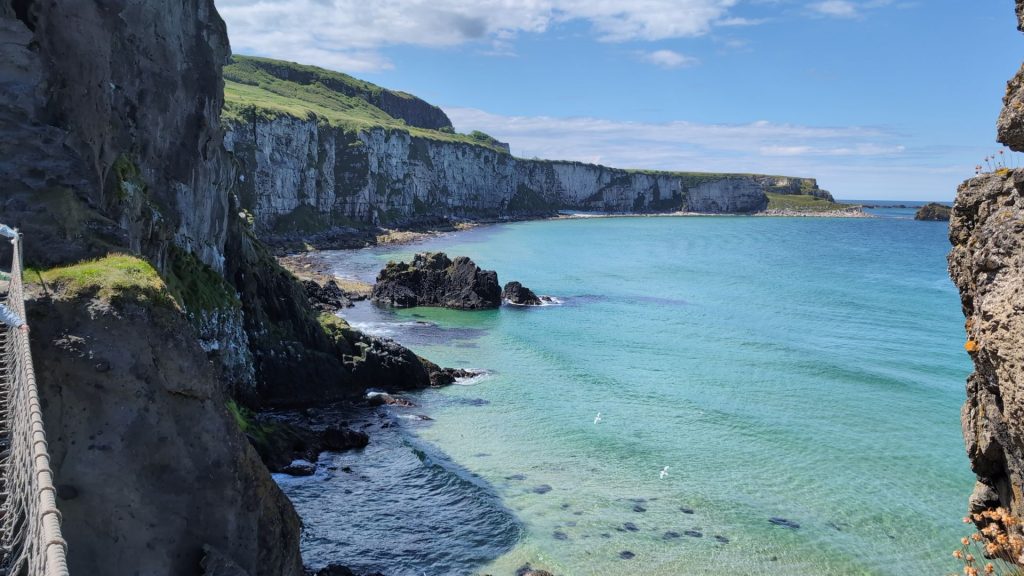
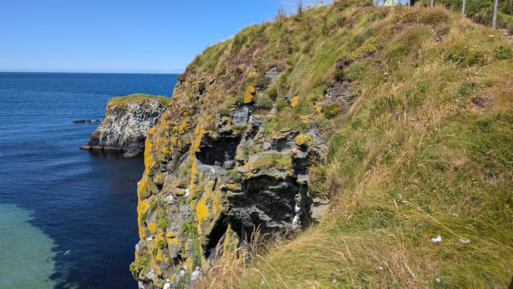
We saw more beautiful seascapes along the way to the bridge. We also read the signposts to learn more about Carrick-a-Rede, the salmon fishery and the rope bridge.
The Salmon Fishery
Carrick-a-Rede’s deep waters were once alive with salmon making their way year after year back up river to spawn.
On a good day as many as 300 salmon might have been trapped in the nets that were spread out from the tiny island. Balancing their catch on their backs and holding on with one hand the fishermen ventured back and forth over the swaying rope bridge that spanned the deep chasm between the headland and the tiny island.
Here is a writing about the rope bridge by Charles Leonard Thomassan, Kentucky USA, in 1851 following his visit:
“For the boiling breakers are ever dashing themselves madly between the rocks hundreds of feet beneath, and the rope bridge is thrown about by the wind like a fabric of thread. Few trust themselves upon this airy fabrication but Mr. Wilson and I for the honor of old Kentucky braved all the terrors – and passed two and from the rock.”
In answer to the unasked question: No, the current Carrick-a-Rede rope bridge is not the same as the one that existed in the 1800s. While the bridge has been in use for centuries by salmon fishermen, the current structure is a modern design built in 2008, replacing older versions that have been updated throughout time due to safety concerns and changing needs. The original bridge was first constructed in 1755 by fishermen to access the island for their nets.
Once there was only a single hand rope. Yet the fishermen crossed it daily without any fear (except for Mr. Wilson and Mr. Thomassan, but they were just visiting), carrying their catch and bits and pieces of fishing gear, and only needing one hand to guide them. The fishery only operated in the summer. The rope bridge was dismantled and stored in the winter.
Here are some pictures displayed at the site which give you an idea of what the bridge and area used to look like (not in 1755, but still).
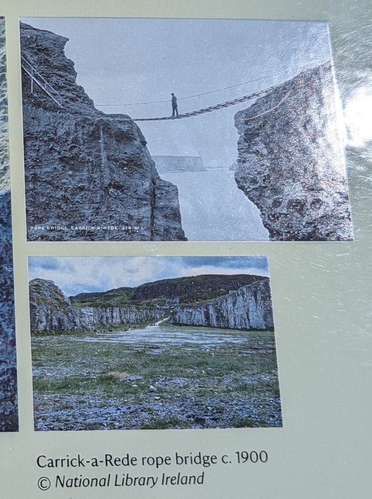
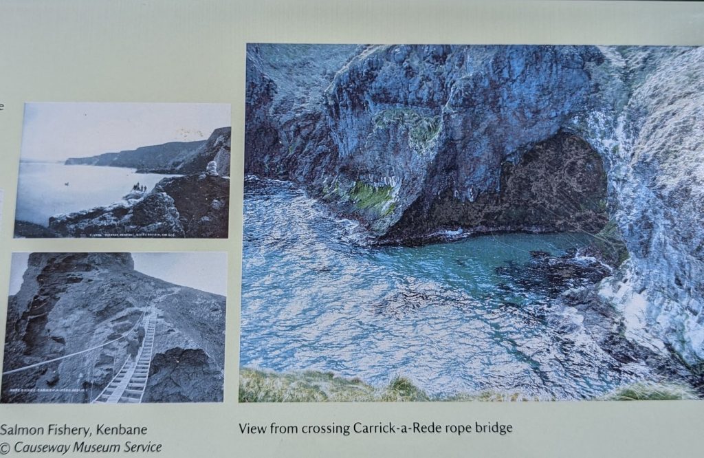
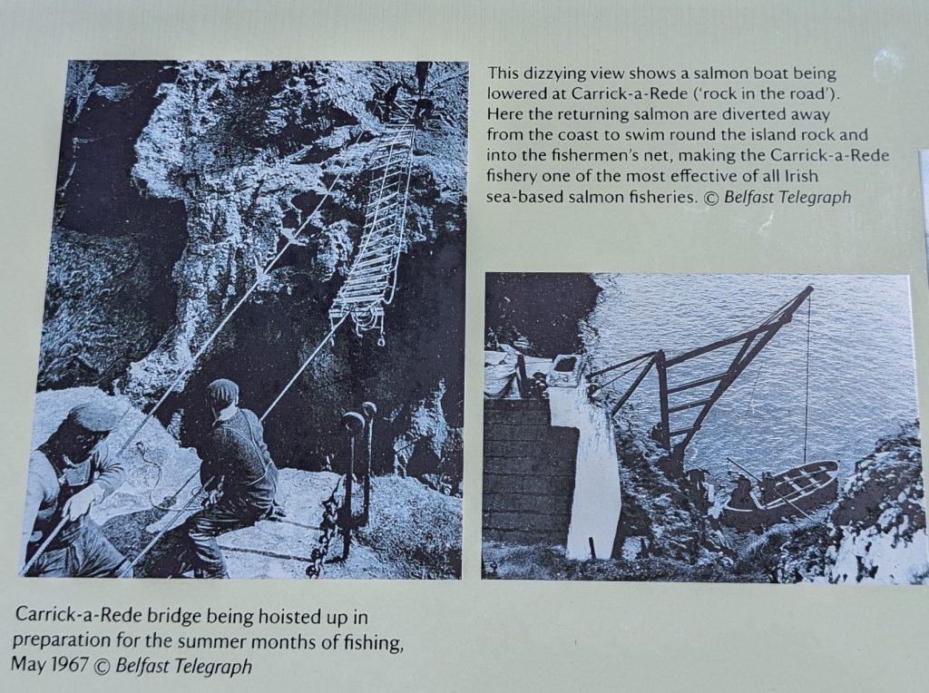
If the actual crossing of the bridge isn’t “fun” enough, consider that when you cross the bridge you are also walking across the mouth of an ancient (60 million years ago) volcano.
Regarding the picture of the salmon boat being lowered (above), read this sign for more info about the fishing process:
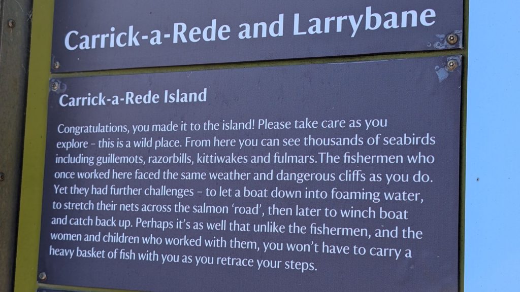
As I am not a Game of Thrones fan, I wasn’t aware that an episode was filmed at Larrybane. For those who are, this is what I learned from a Game of Thrones tours website:
“The Episode filmed at Larrybane was the third installment of season 2. Catelyn Stark is going to meet one of the many new kings that have been popping up, King Renly. He and his queen, Margaery, are sitting watching a fight between the queen’s brother and what turns out to Brienne of Tarth.
It is here Brienne joins the forces of King Renly Baratheon in the War of the Five Kings. She proves herself by winning a tournament amongst his men, including a victory over Renly’s favorite – and Lord Commander of the Kingsguard – Ser Loras Tyrell.
She asks to be named to his Kingsguard as a reward. Renly grants her request, despite her gender and consequent lack of knighthood. Lady Catelyn Stark arrives in the camp to negotiate an alliance between Renly and her son, King Robb Stark.”
Back to the salmon fishery:
The salmon fishery survived for over 350 years. In its heyday it would have employed over a hundred men. From the late 18th century ice was used as a preservative enabling salmon caught on the north coast to be exported fresh to markets in Liverpool and further afield.
Sadly, with the disappearance of the salmon all that remains are the stories, memories and remnants of those earlier times – the tiny fishermen’s cottage, the icehouse, the ropes, nets and buoys.
That’s it for the stories! Now to the pictures.
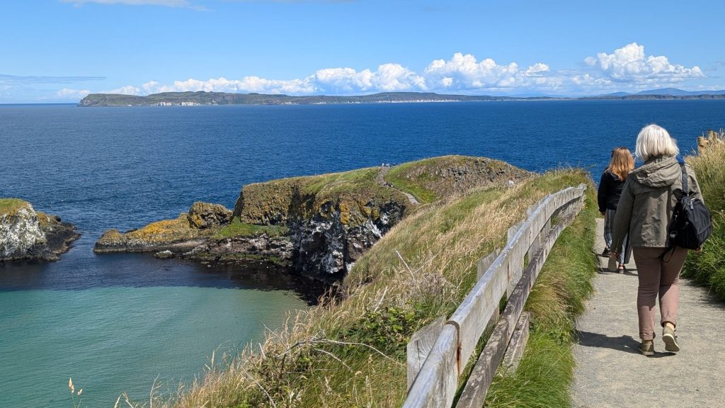
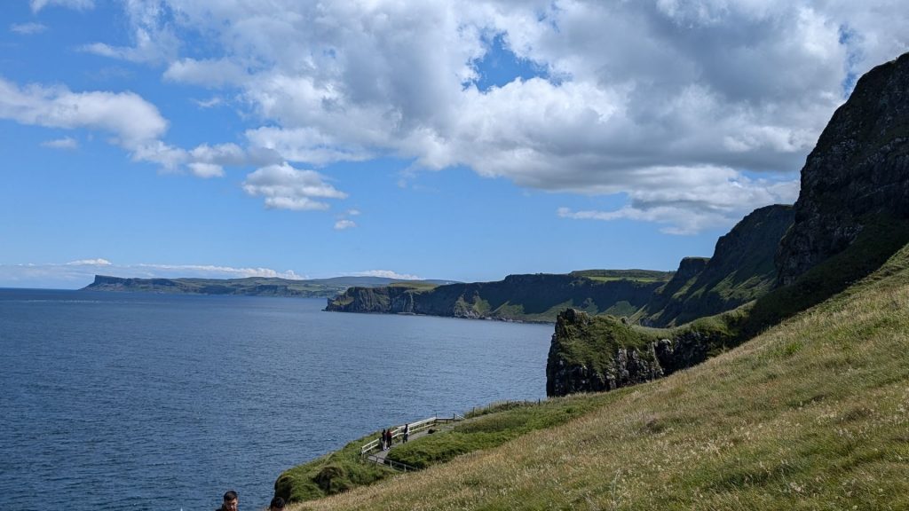
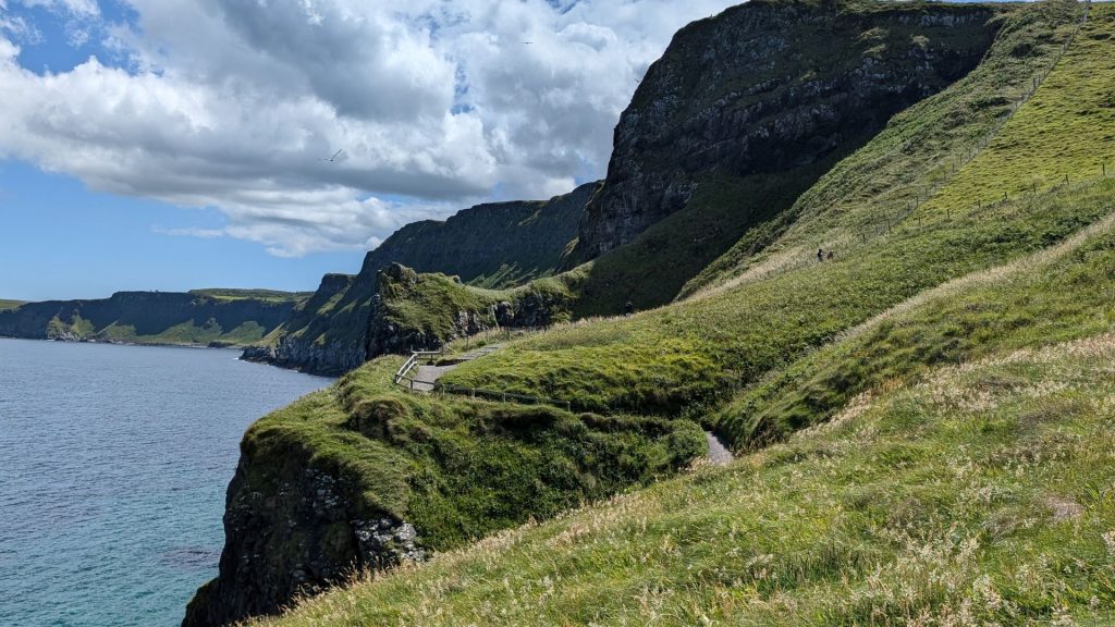
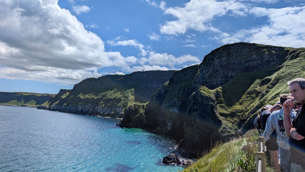
The Walk to Carrick-a-Rede
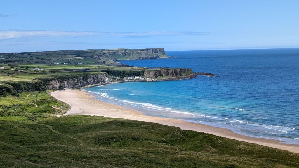
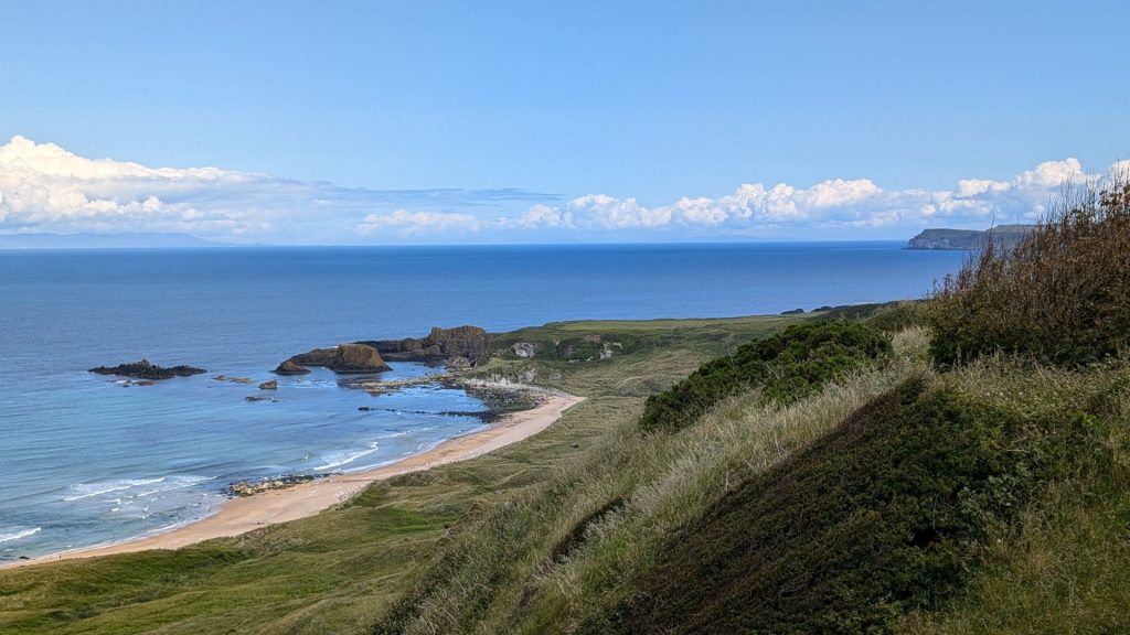
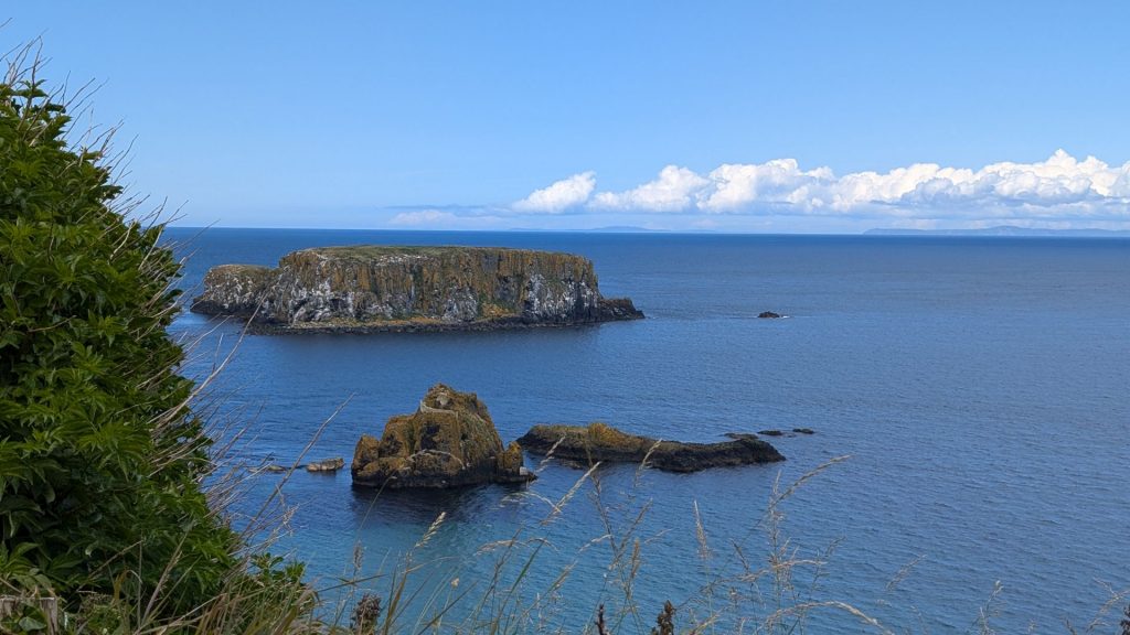
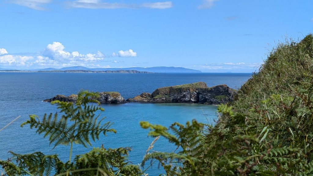
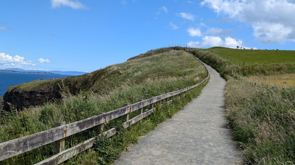
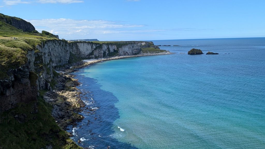
Below left: The woman is on the mainland. Carrick-a-Rede is the small island in front of and to the left of her.
Below right: in the queue to cross the bridge. They make it a one-way by allowing groups to pass in one direction at a time.
The bridge (the picture on the right is a stock photo):
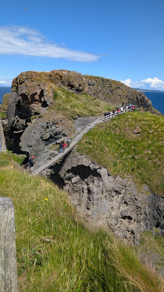
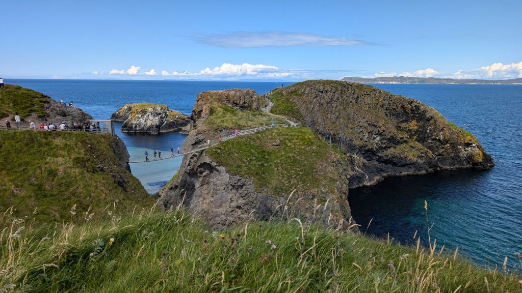
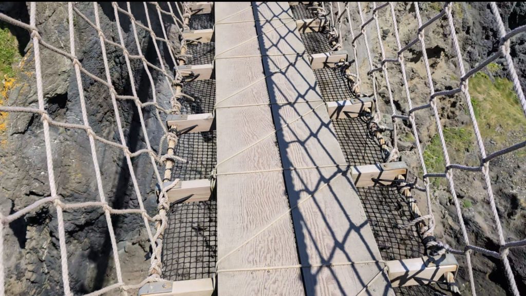
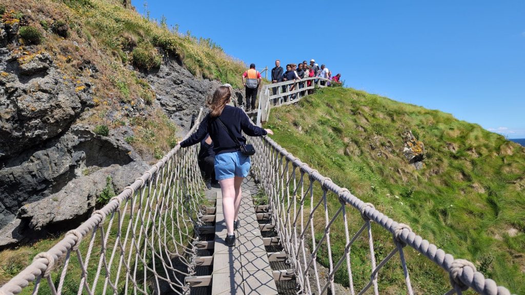
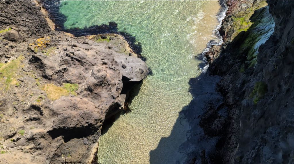
Crossing the bridge:
We just had one day left (and a partial day at that) on our month-plus long trip. More on that in the next post.
