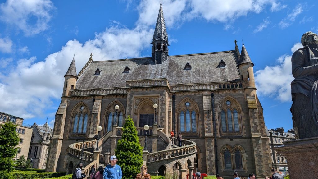
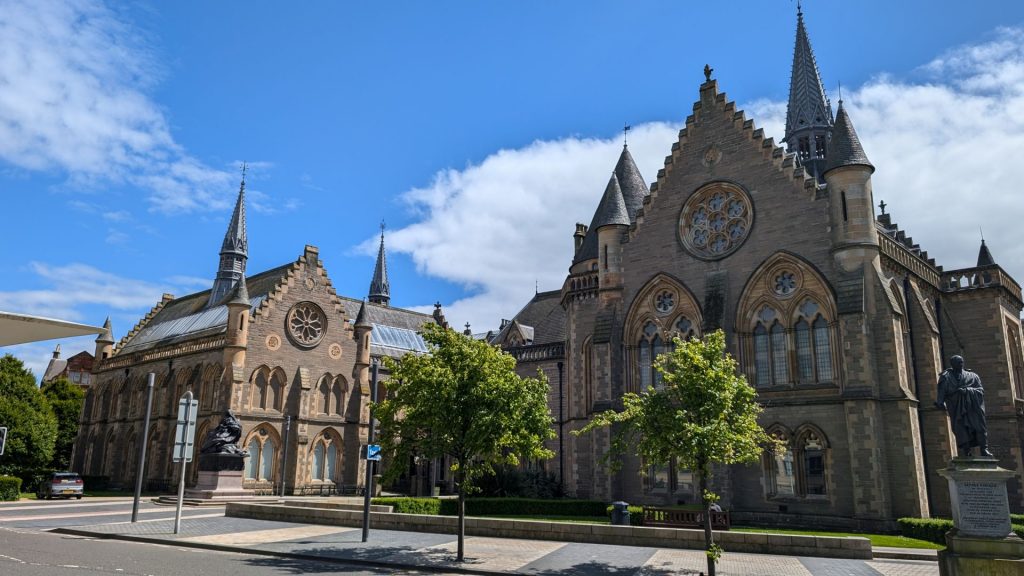
We left Edinburgh on the 22nd and stopped briefly in Dundee before heading to Inverness. We were planning to visit the Art Gallery and Museum, but the fire alarm went off just as we entered and everyone was sent across the street. We decided to abandon that idea and have lunch instead.
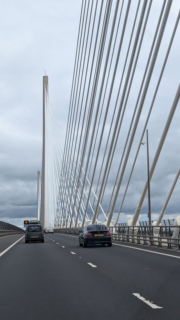
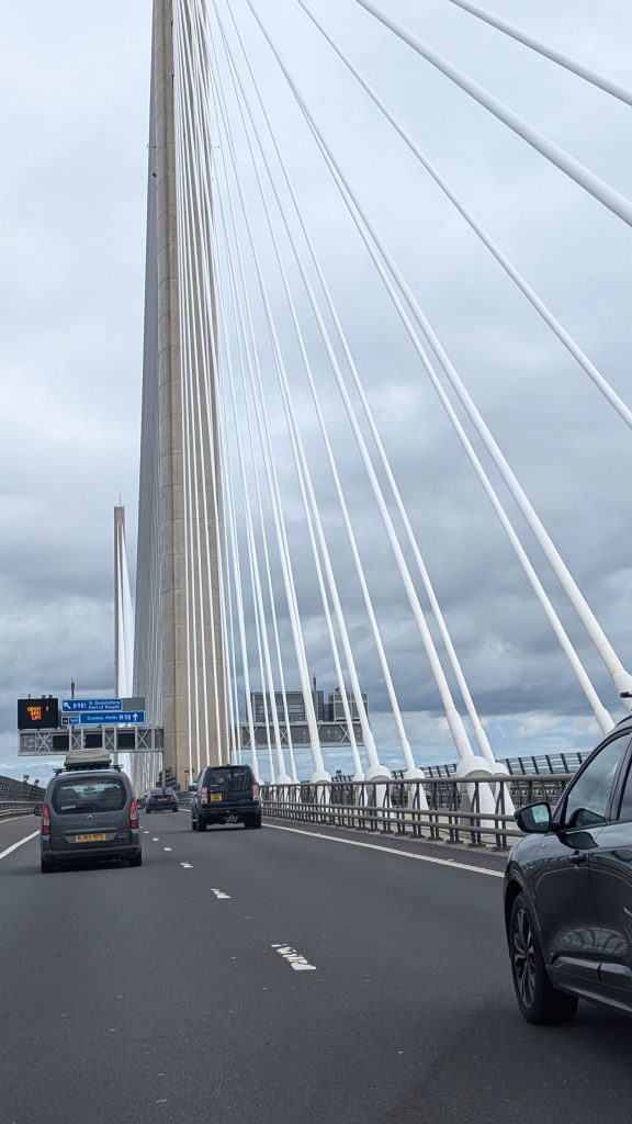
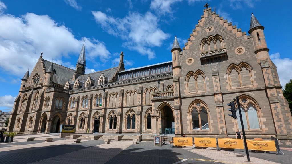
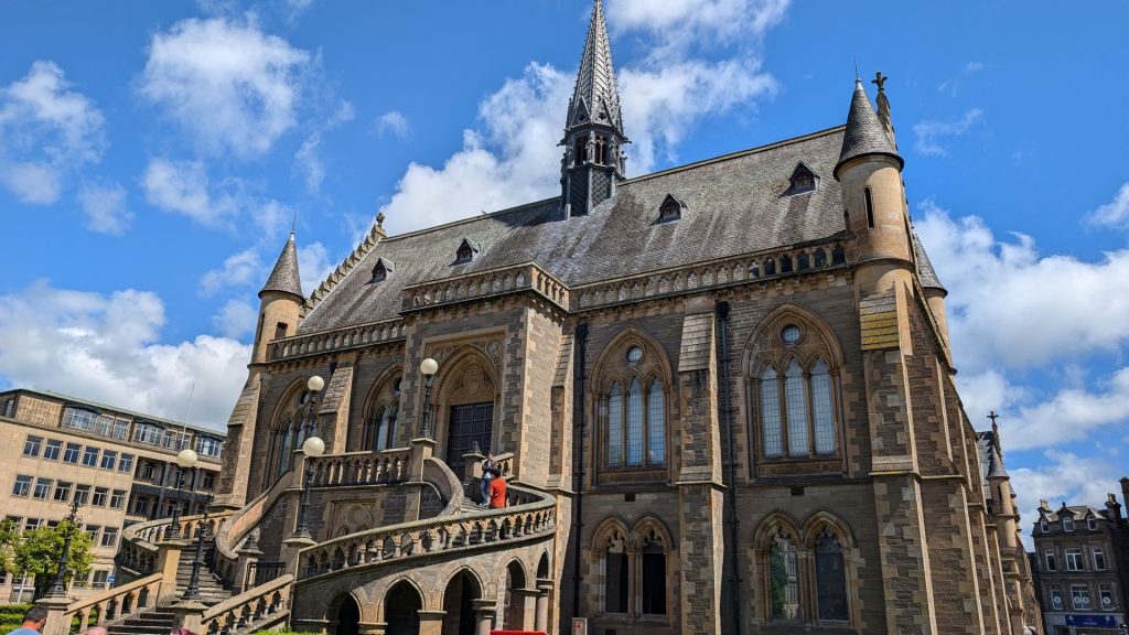
Here are a few pictures of a pretty bridge we took on the way to Dundee as well as a few sites in Dundee.
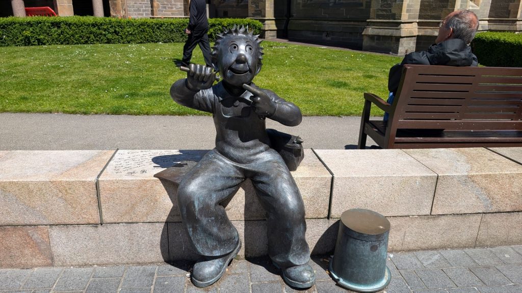
The bronze Oor Wullie Statue was created in honor of the spiky-haired dungaree-cad lad who graced the comic strip of the Sunday Post since 1936. He is aiming his pea shooter at a nearby statue of Robert Burns. Oor Wullie is a much-loved national treasure in Scotland.
We had two full days in Inverness. We’d only planned to spend one day there but Michael wasn’t feeling too well, so we stayed a second day. I was really happy about that (not that Michael was sick, but that we had a second day in Inverness) because there are many walking paths and I hadn’t covered everything I’d wanted to on the first day.
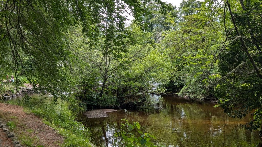
Inverness is a nice town. Not only are there a lot of walking paths, the town itself is quaint. I spent most of the first day visiting the Ness Islands and the Botanical Gardens, followed by Clachnaharry. Here are their descriptions and some notes from me:
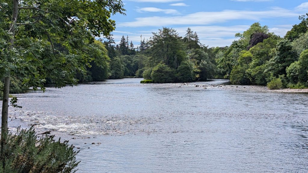
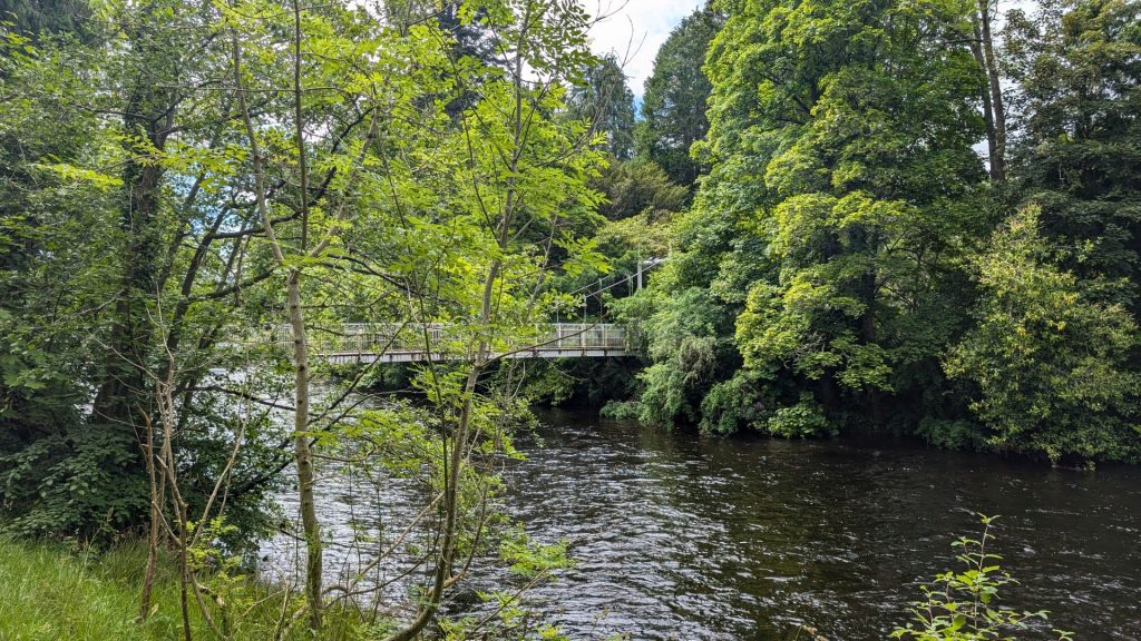
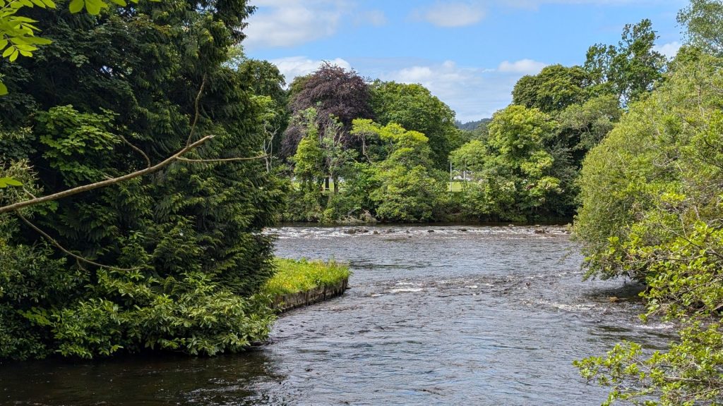
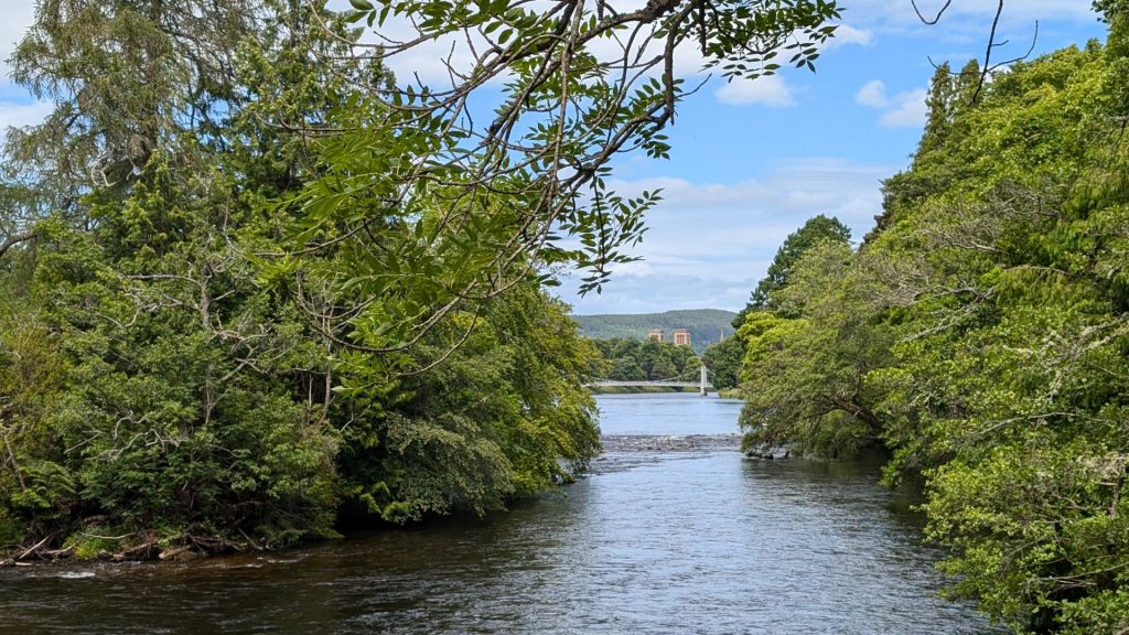
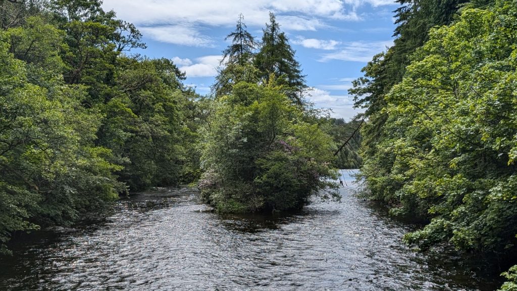
Nature-lovers will be pleasantly surprised to hear that you do not have to leave Inverness to immerse yourself in nature! Follow the River Ness upstream until you reach the Victorian footbridges connecting the city with the Ness Islands. These islands in the middle of the river are covered in charming woodlands and connected by suspension bridges. The trails on Ness Islands are part of the Great Glen Way and make for short and gentle walks near the city. (I can tell you that it is a wonderful and peaceful place to walk. I loved it!)
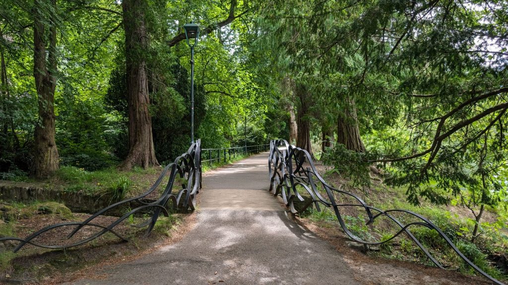
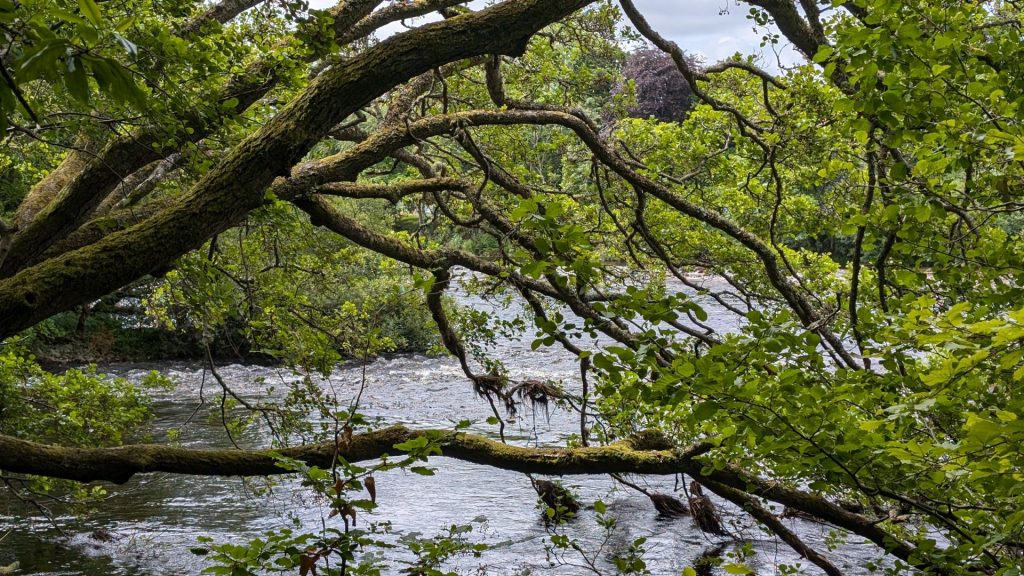
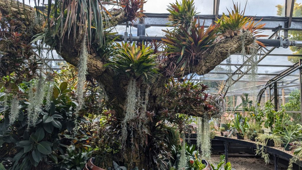
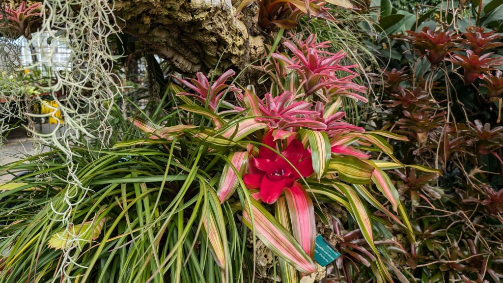
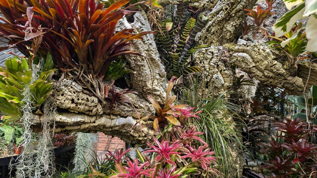
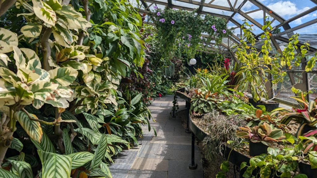
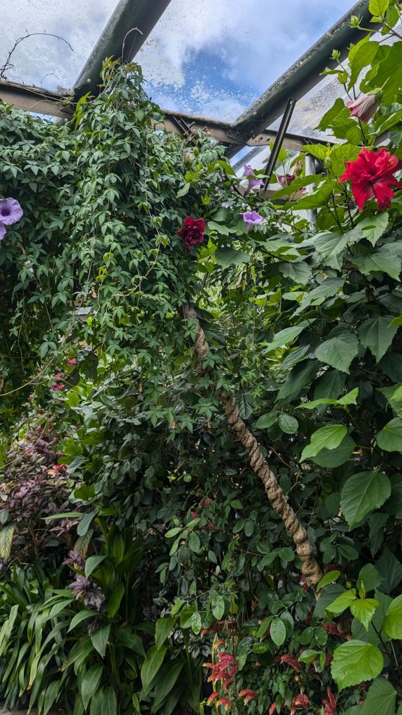
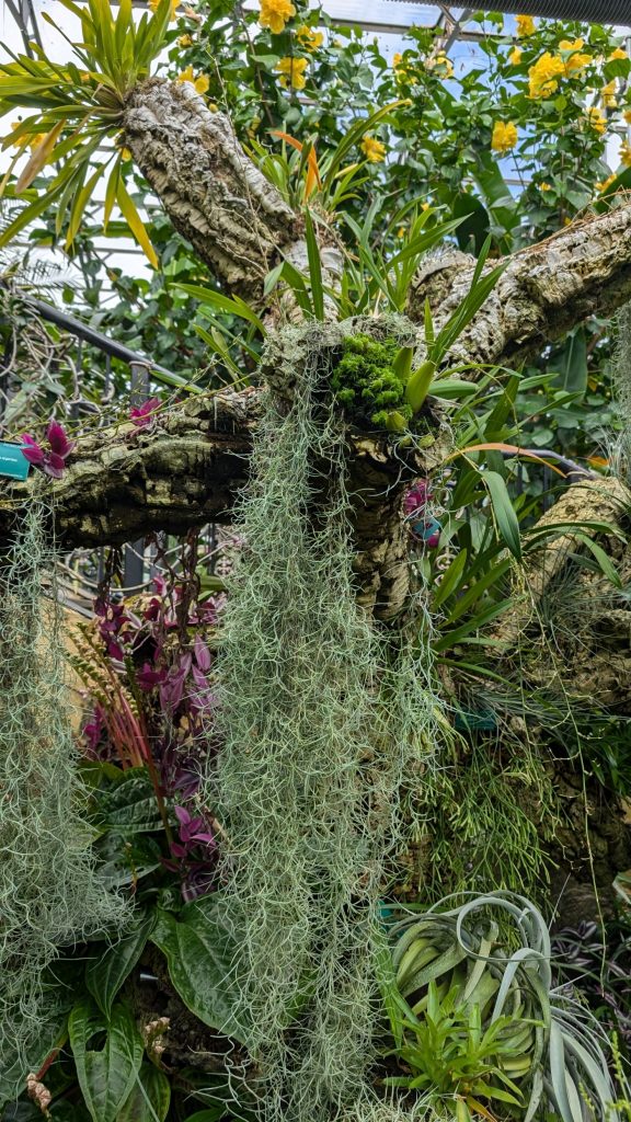
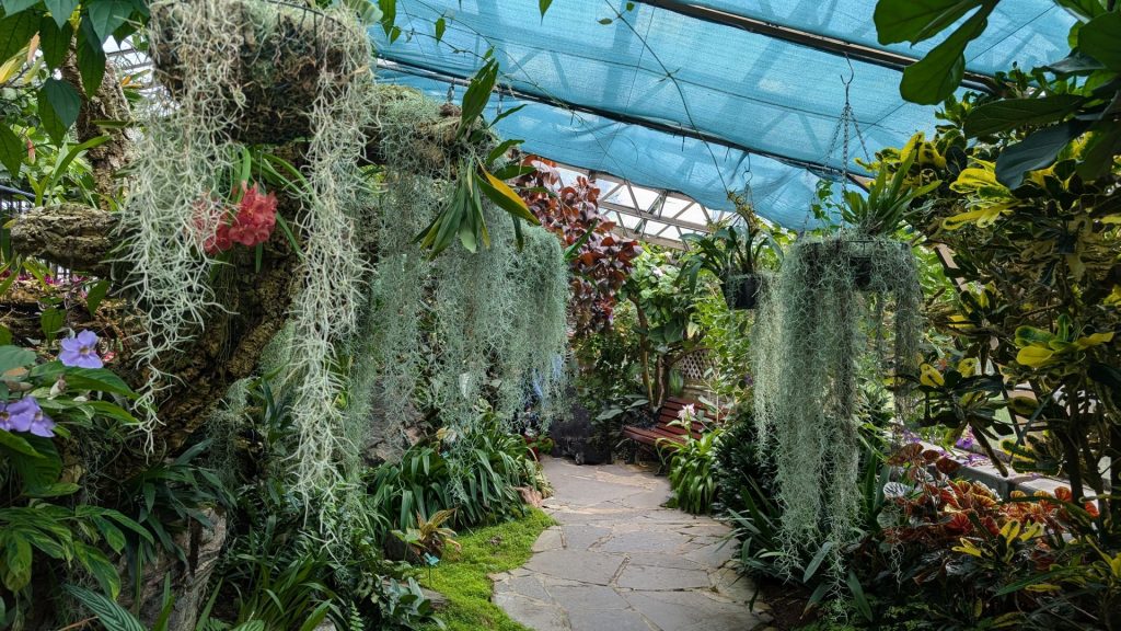
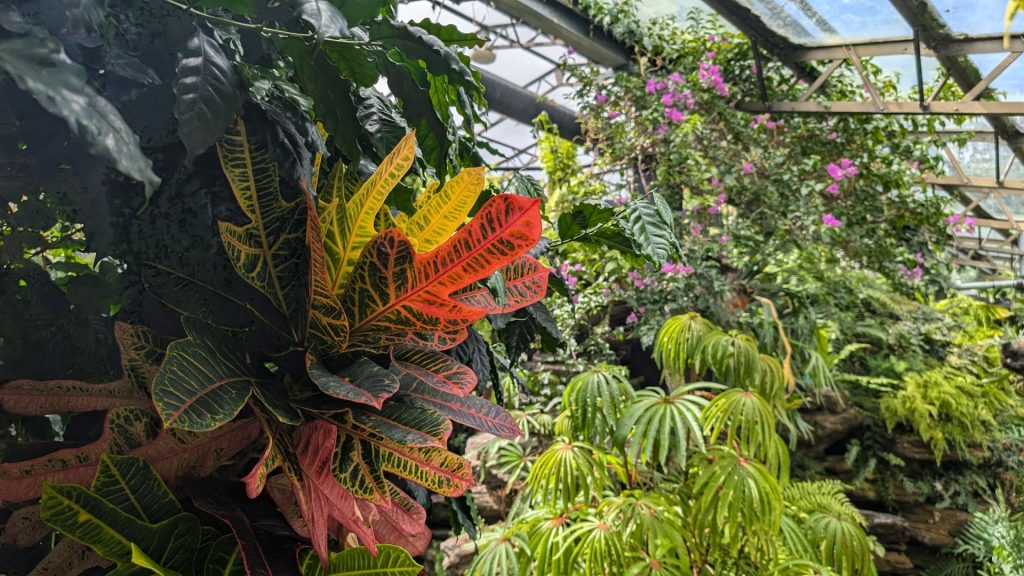
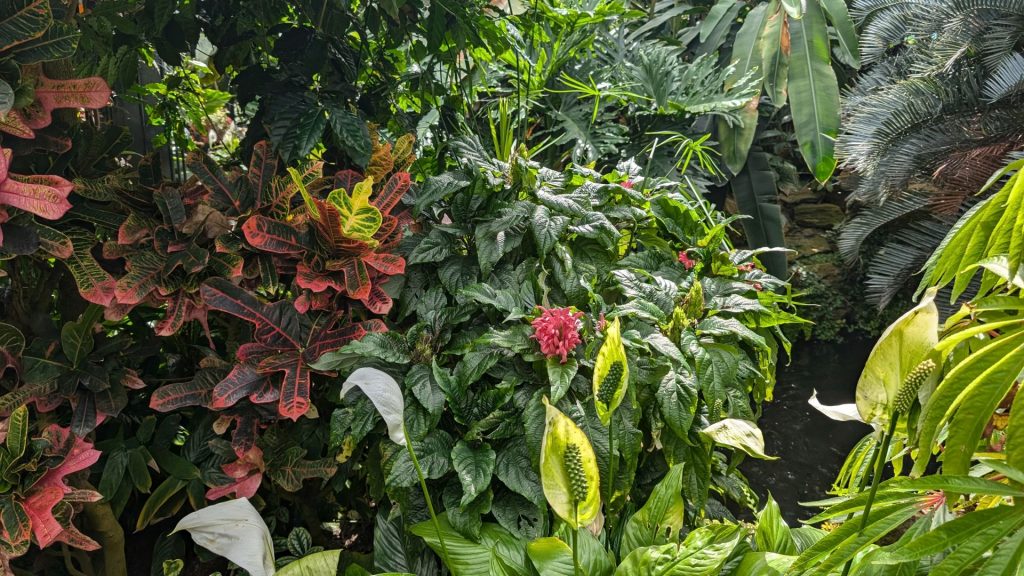
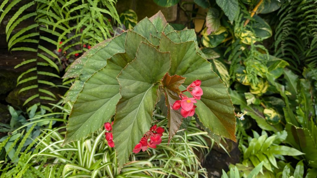
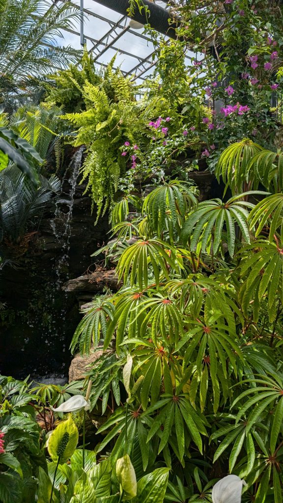
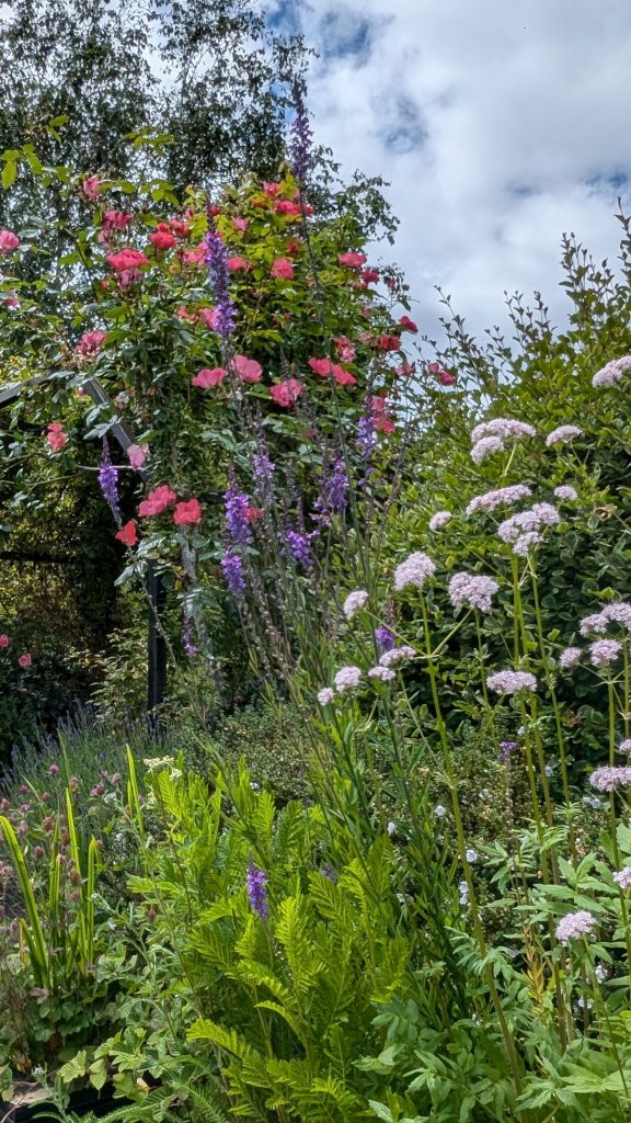
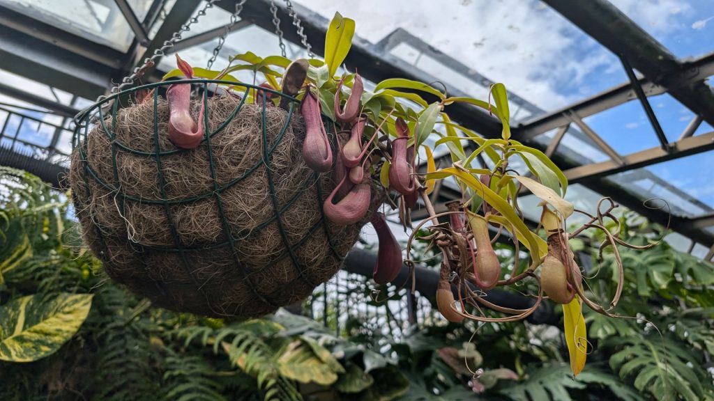
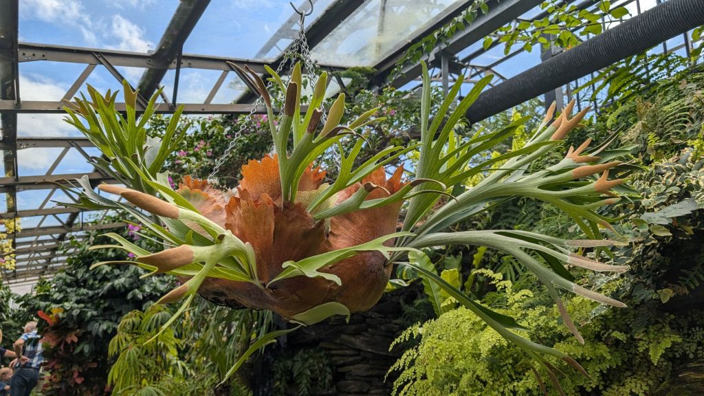
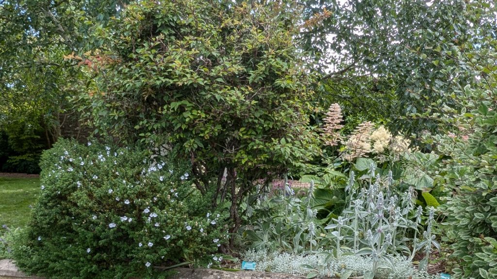
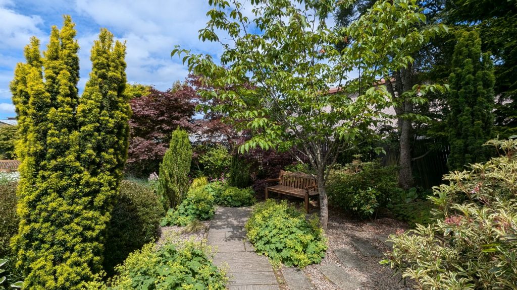
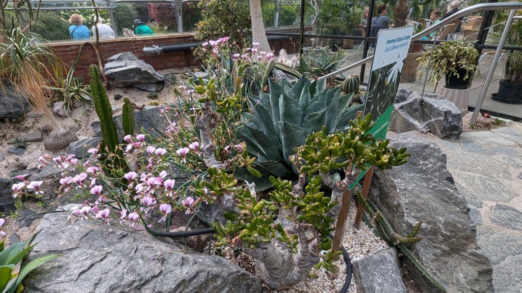
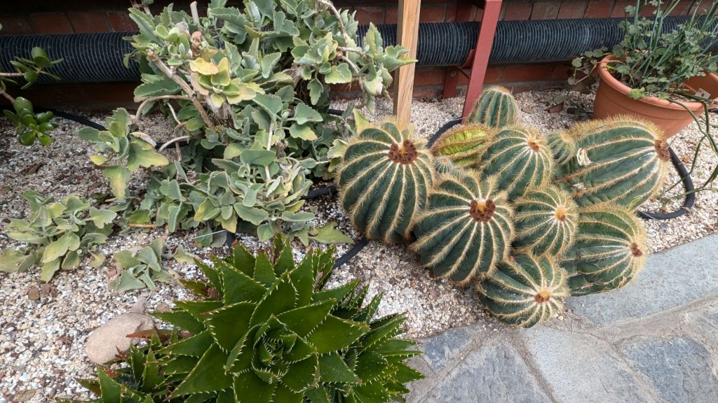
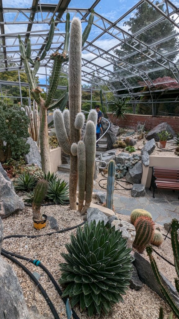
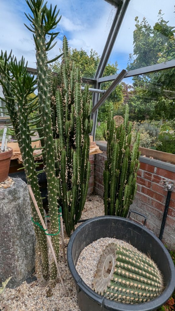
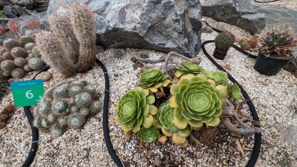
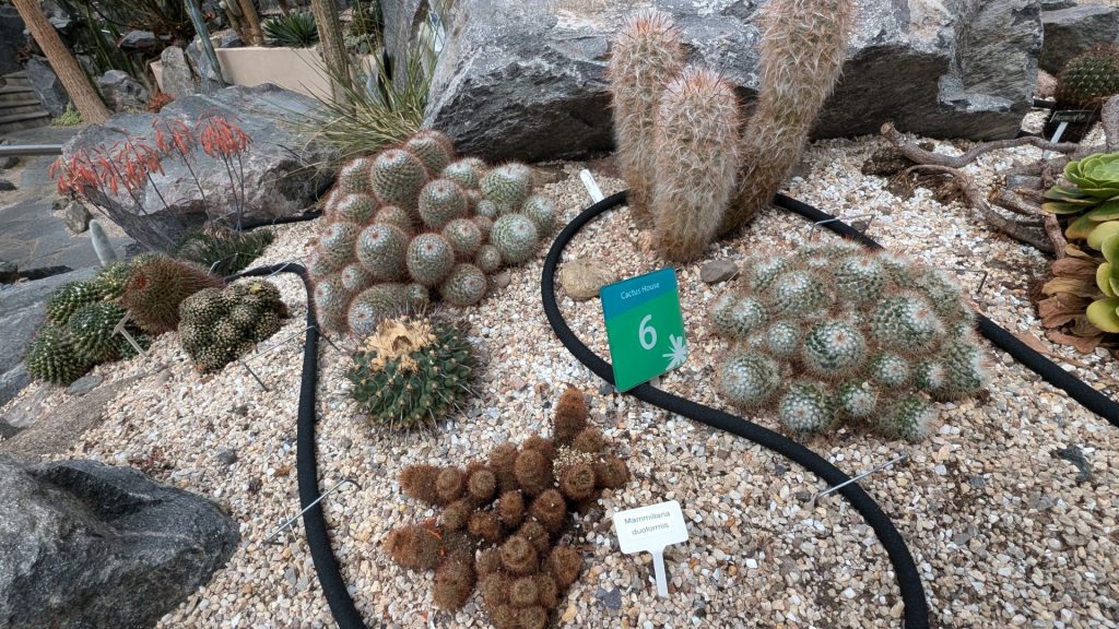
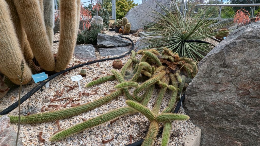
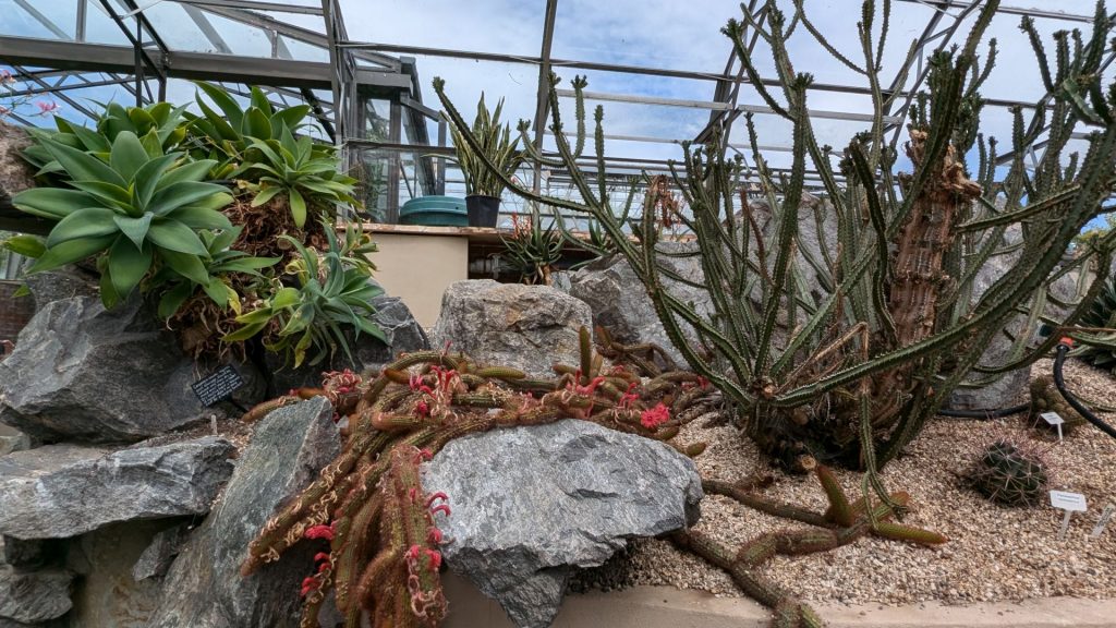
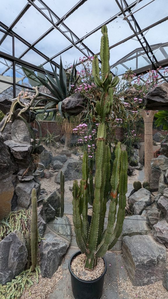
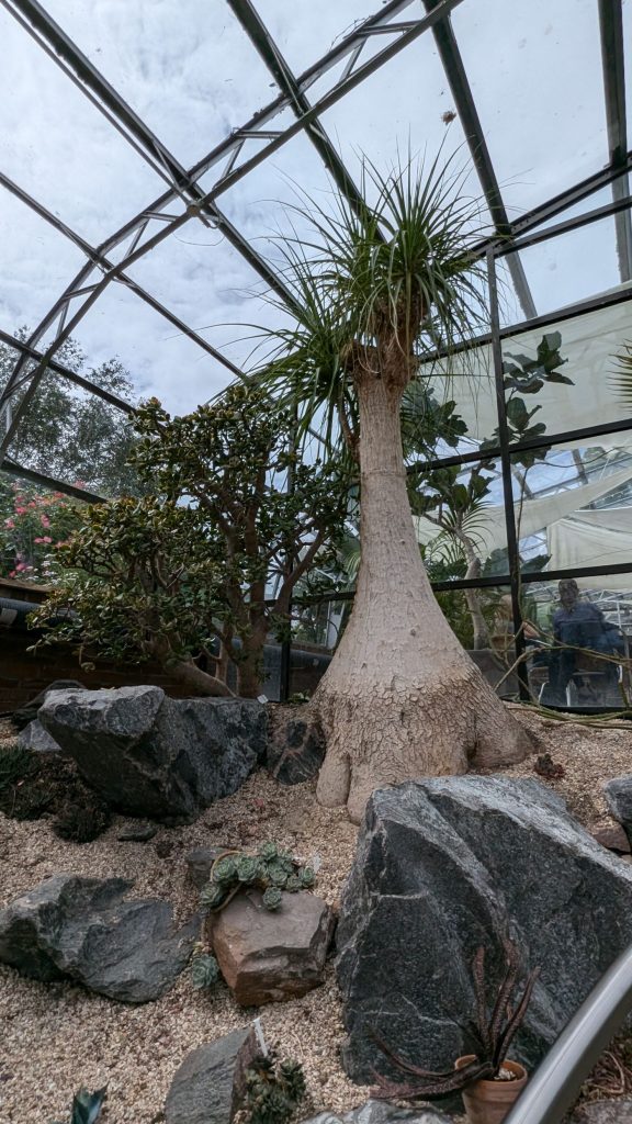
Just a stone’s throw from Ness Islands, it would be a shame to overlook Inverness Botanic Gardens. They are the northernmost botanic gardens in the UK and are a local favorite. Two glasshouses showcase different species of cacti and tropical plants, while the large outdoor area offers many charming sitting areas in peaceful surroundings. (There was a lot of variety in the gardens. Plants from various countries. Lovely!)
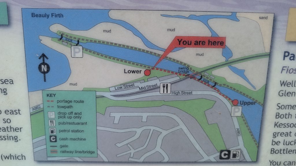
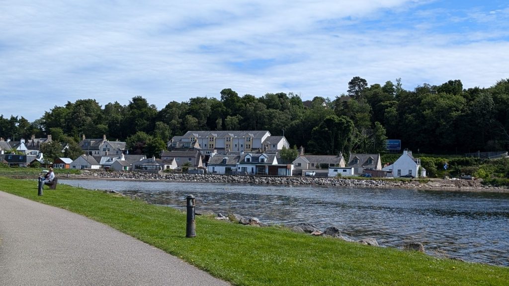
Clachnaharry is a former fishing village, now part of the city of Inverness in the Highland council area of Scotland. Clachnaharry is situated on the south shore of the Beauly Firth, about 2 miles (3 km) west of the city center.
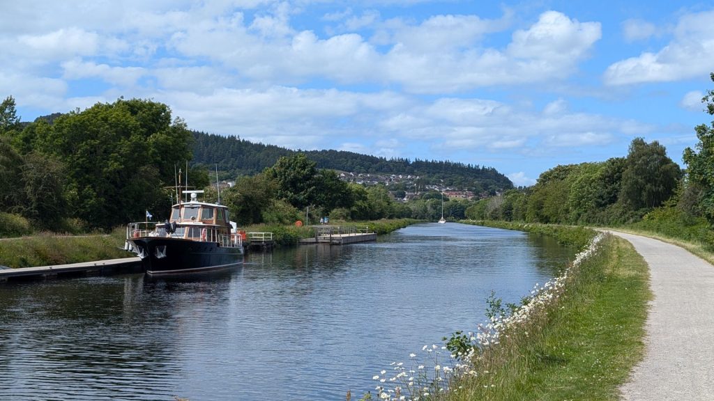
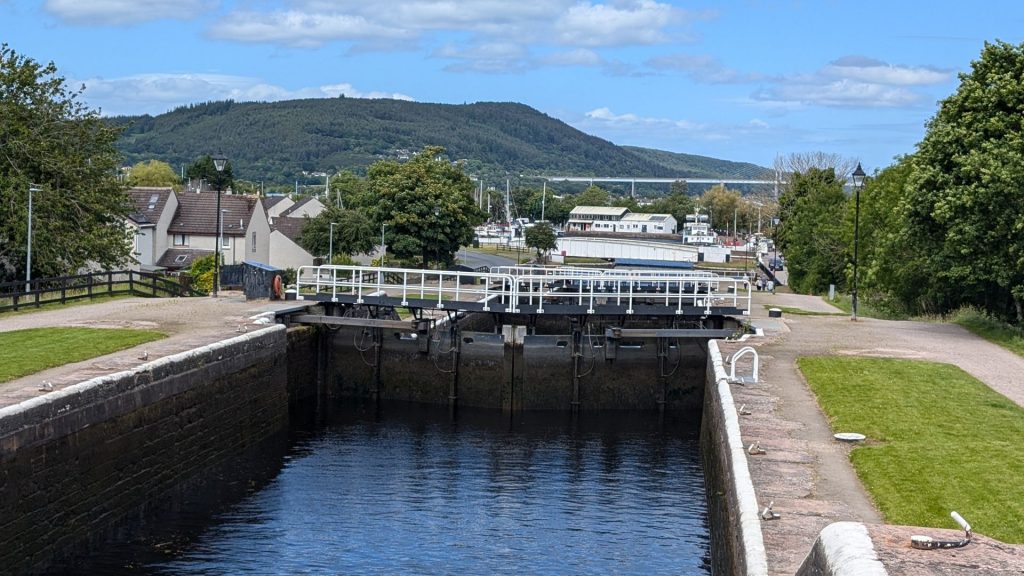
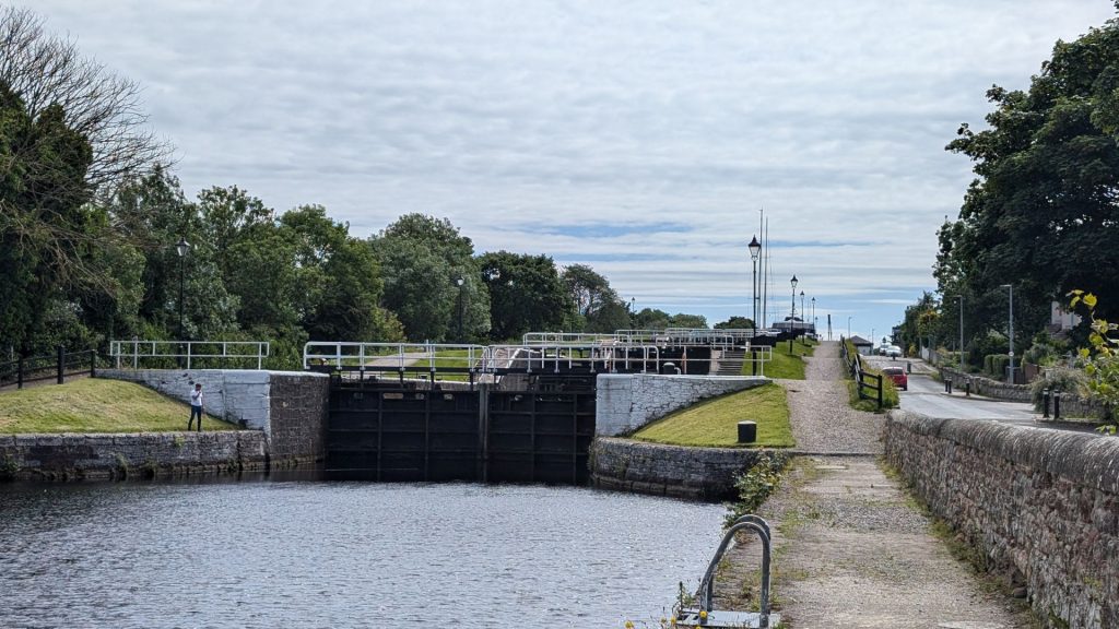
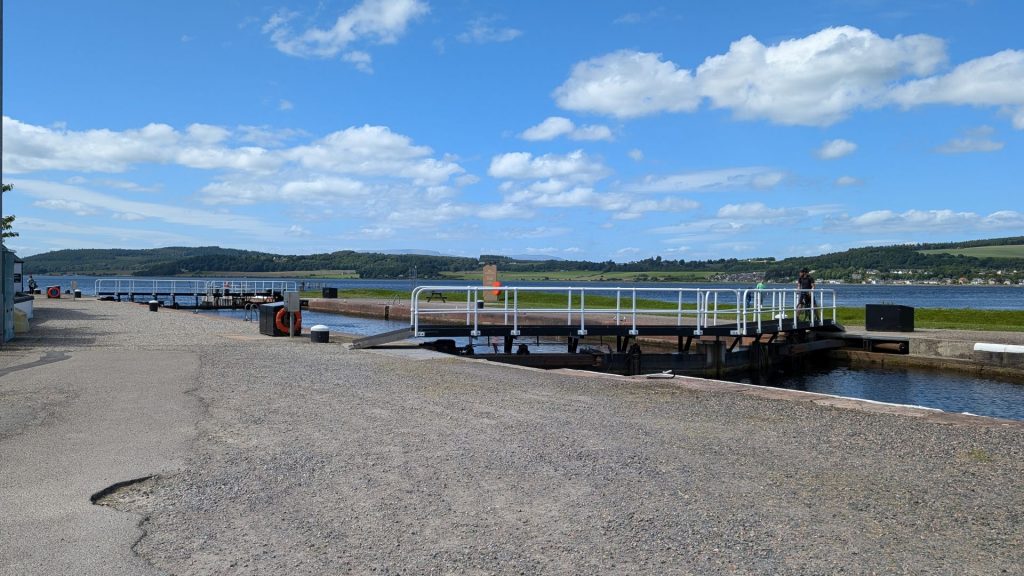
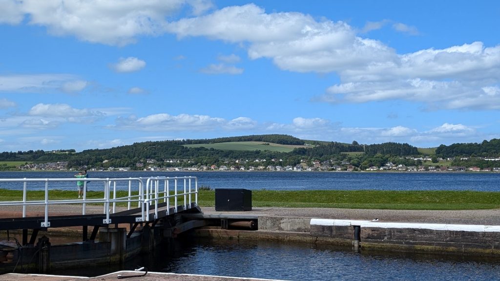
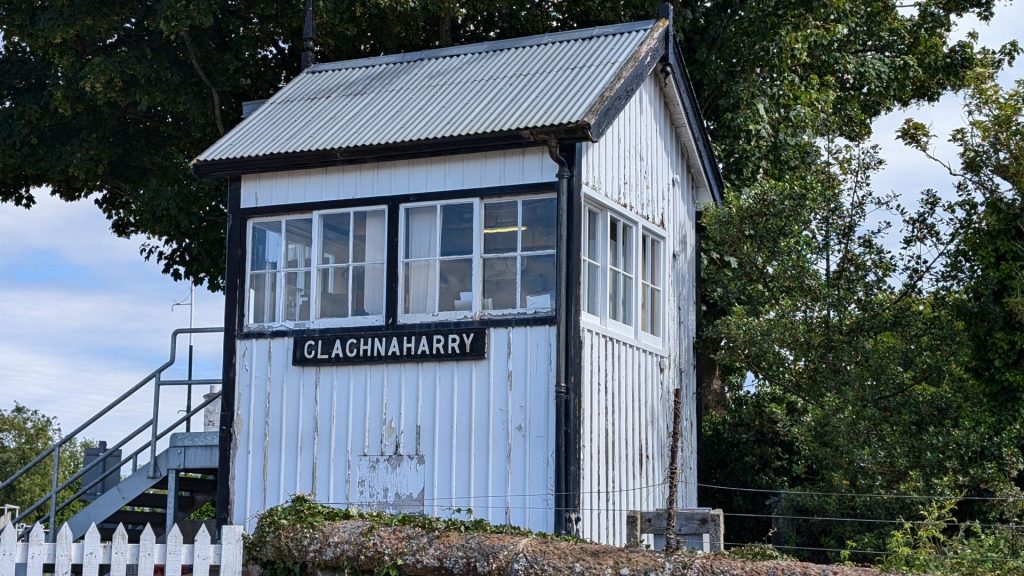
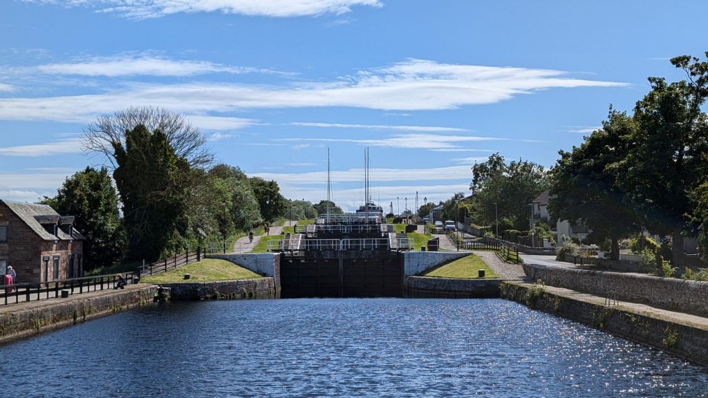
The Caledonian Canal begins at Clachnaharry, connecting to the Beauly Firth via a sea lock. The Far North Line also passes through, crossing the canal on a swing bridge. Clachnaharry used to have a railway station. This station opened in 1869 on the Inverness and Ross-shire Railway, and was the first stop after leaving Inverness, but closed in 1913. (We would have been on the Caledonian Canal had we taken Seahike to Inverness.)
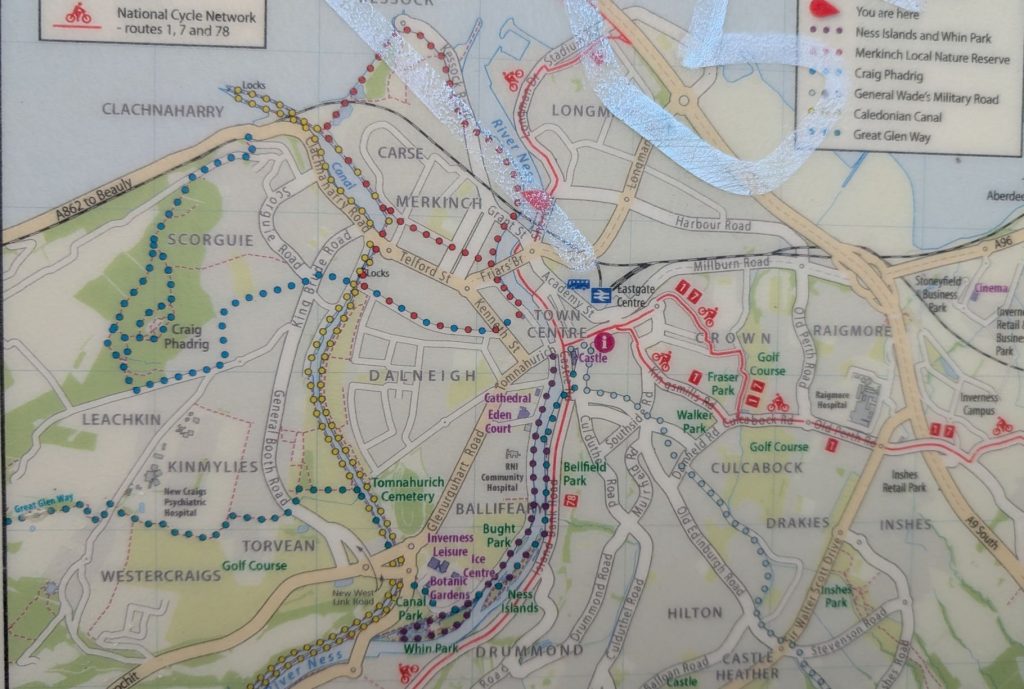
Inverness Trail Map
The trail heading south is the one I took to the Ness Islands. The Botanical Gardens are off to the west near the southernmost point of that trail. Clachnaharry is in the top left corner. You can also see the route of the River Ness.
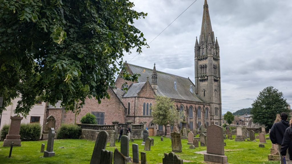
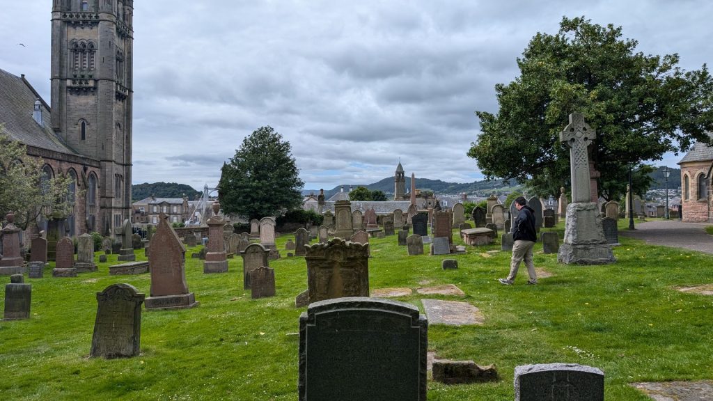
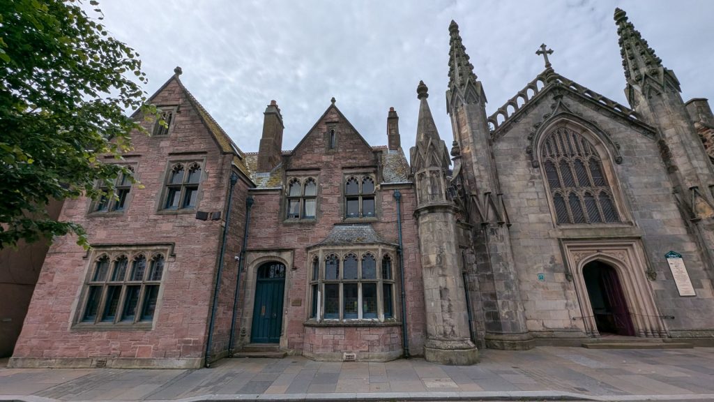
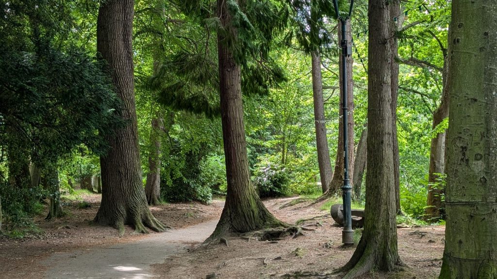
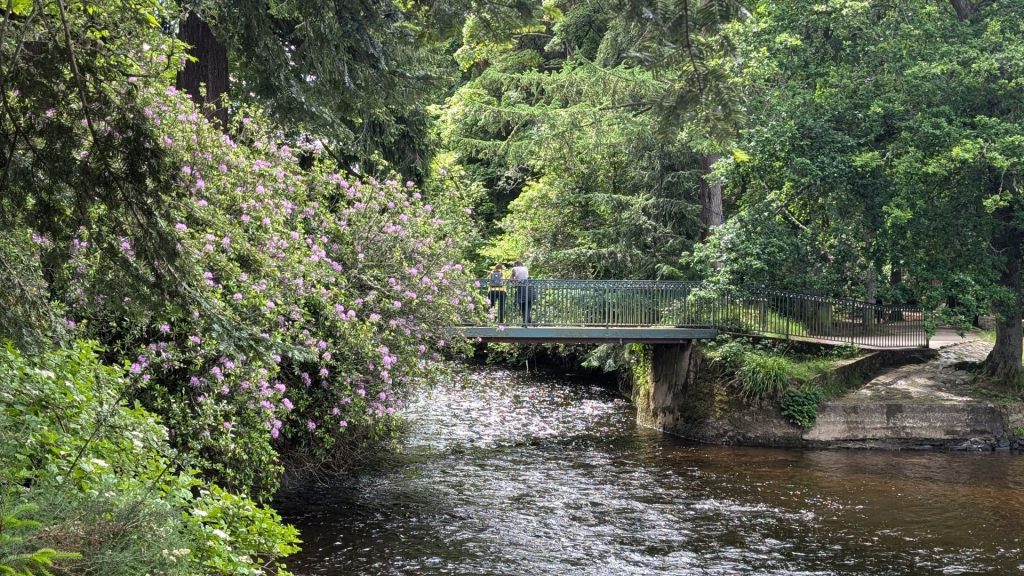
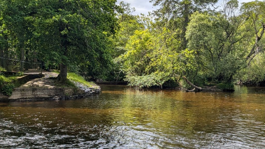
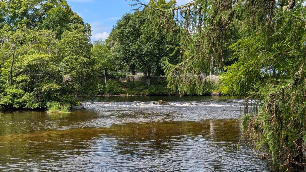
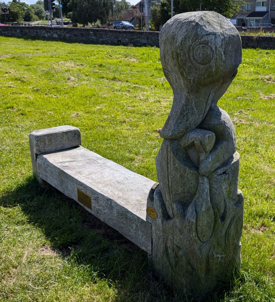
I am going to share a bunch of pictures now. There isn’t a need for much text, since it’s primarily outdoor scenery. I’ll just add a few headings so you know where you are.
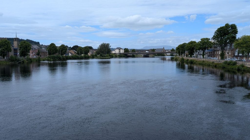
Town Center
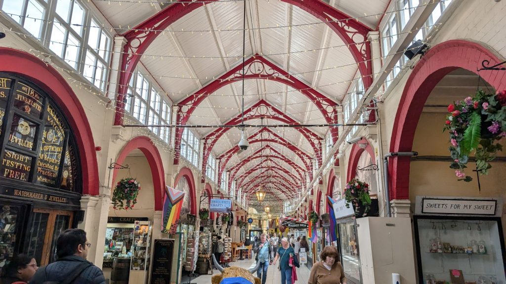
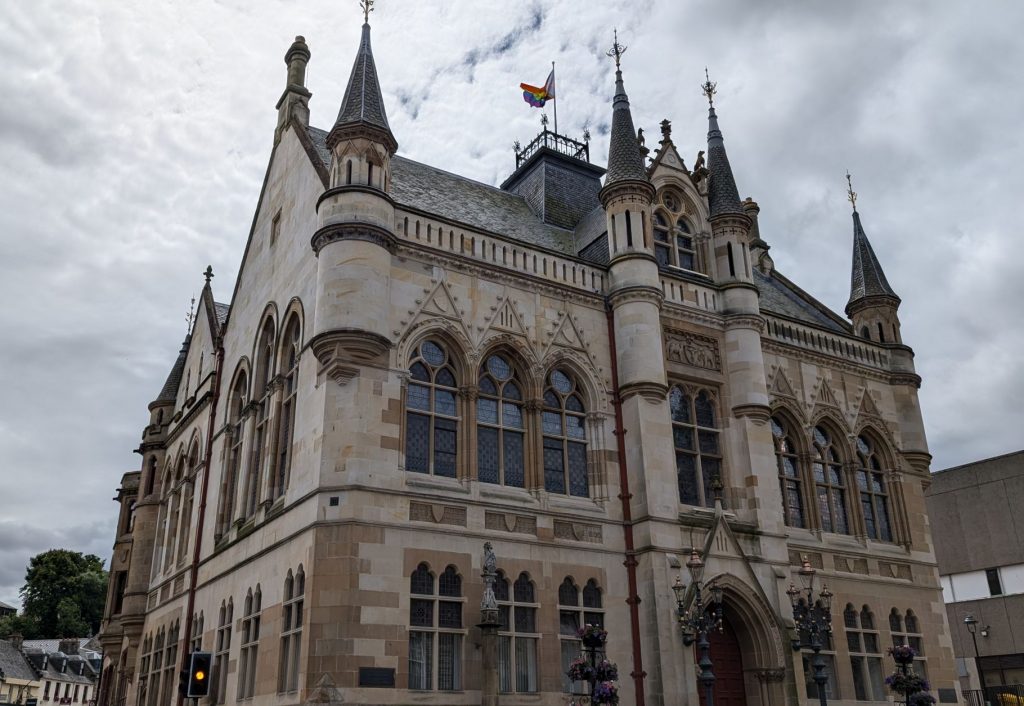
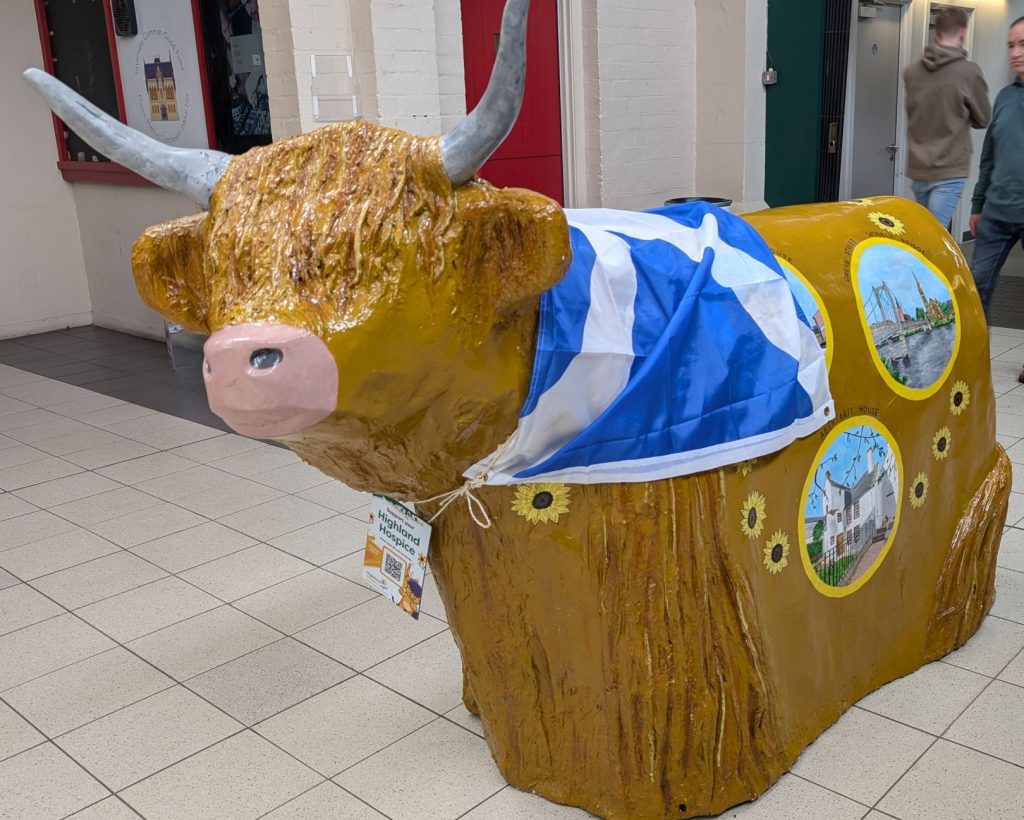
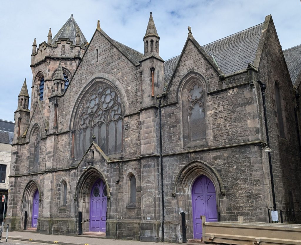
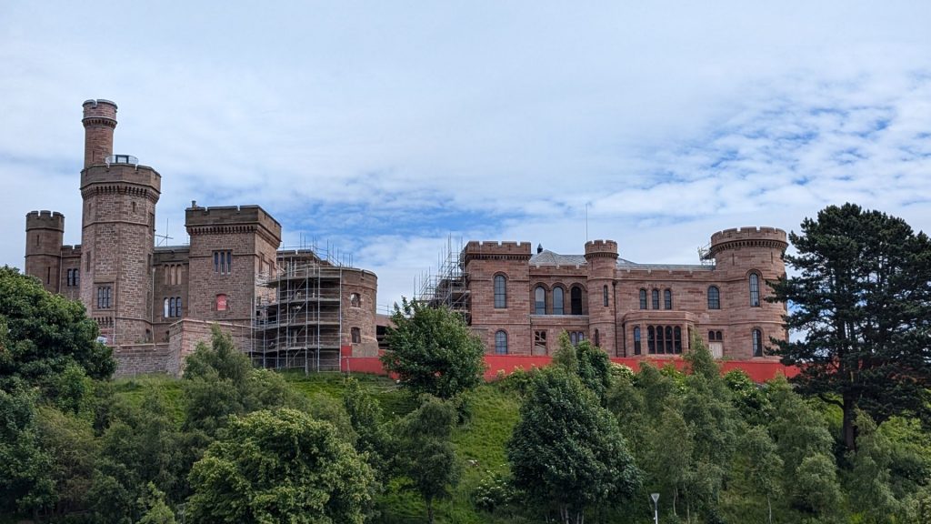
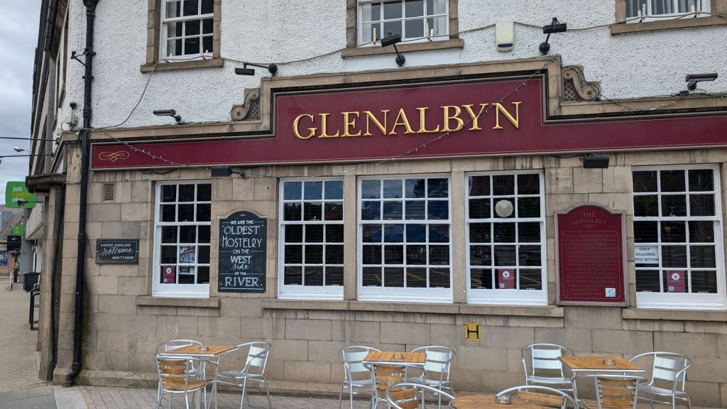
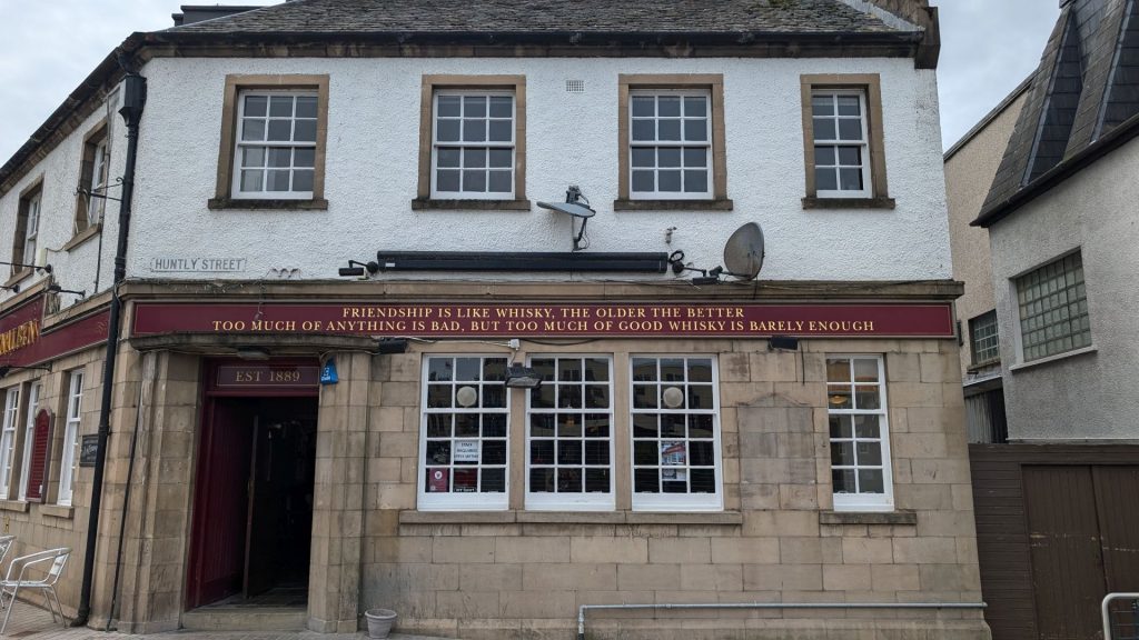
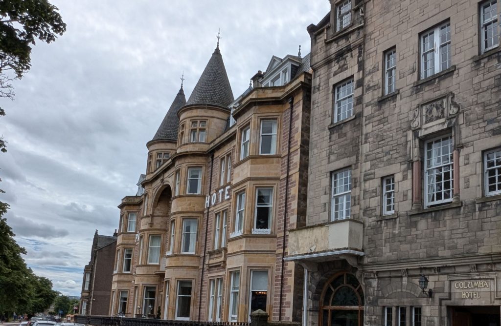
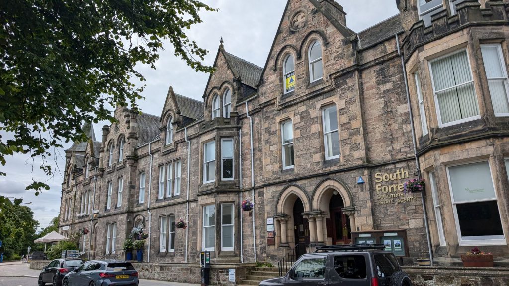
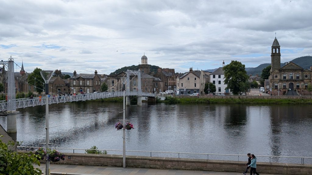
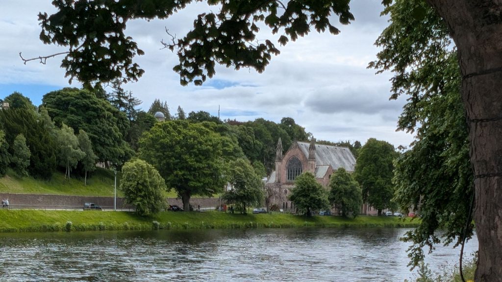
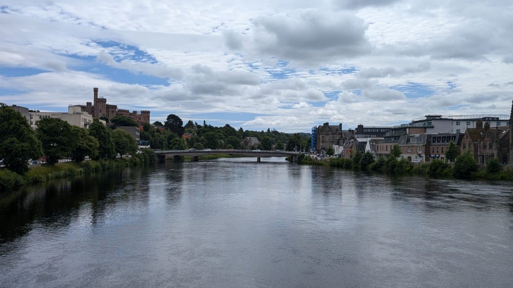
Ness Islands and Woodlands
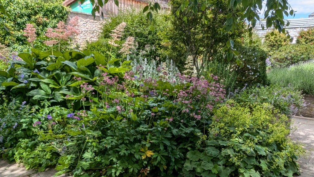
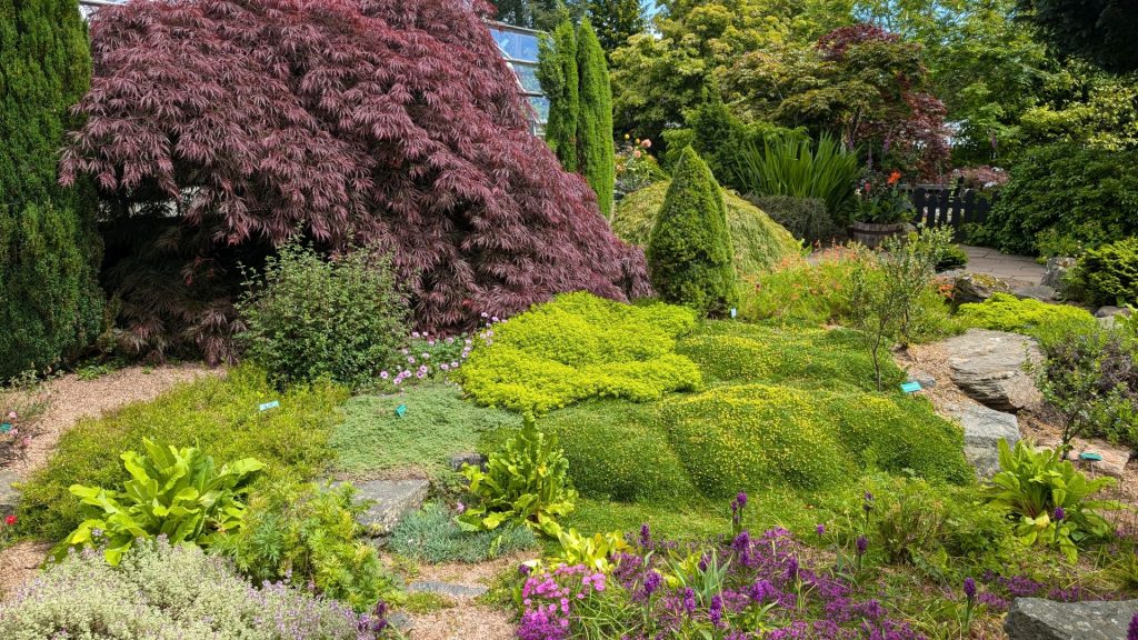
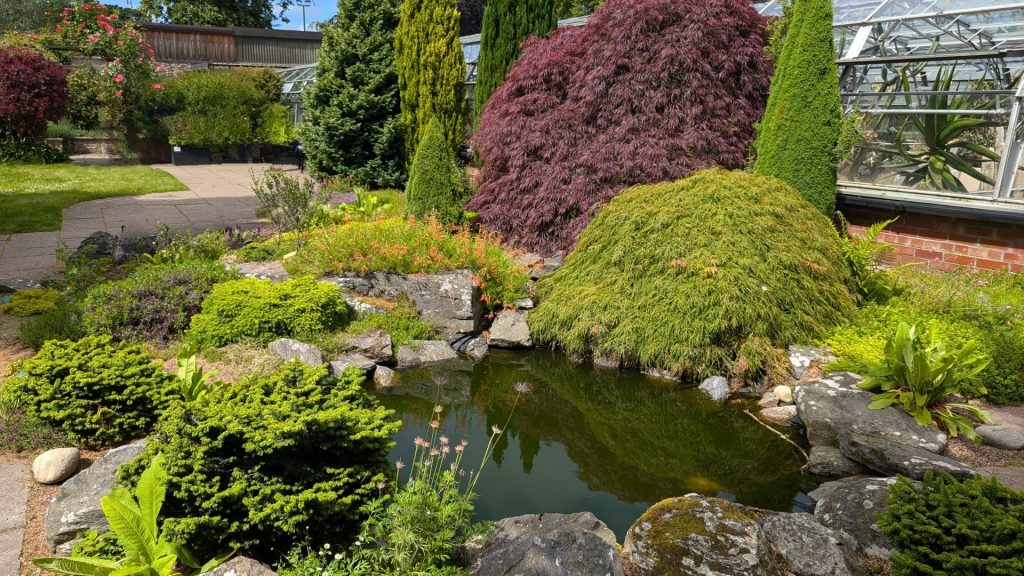
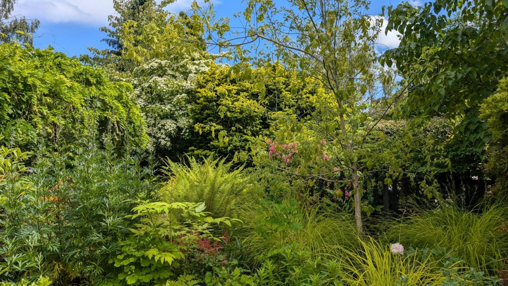
Botanic Gardens
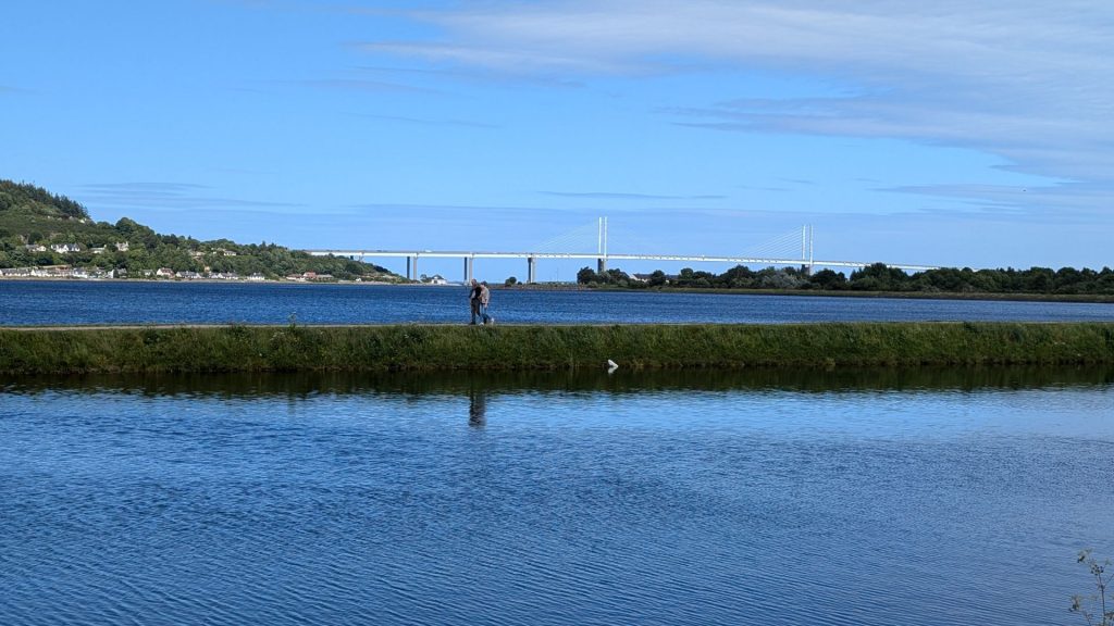
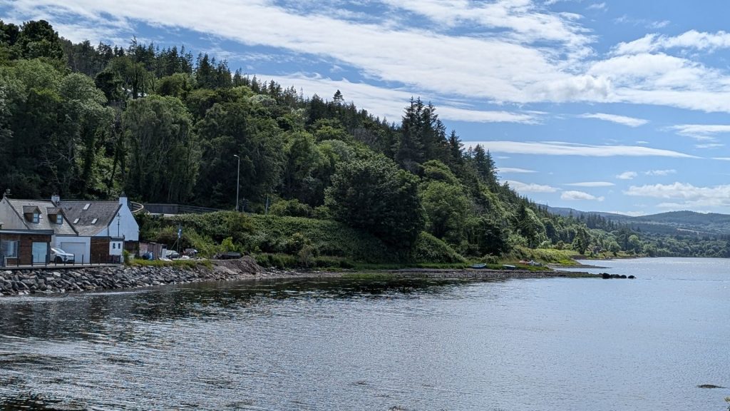
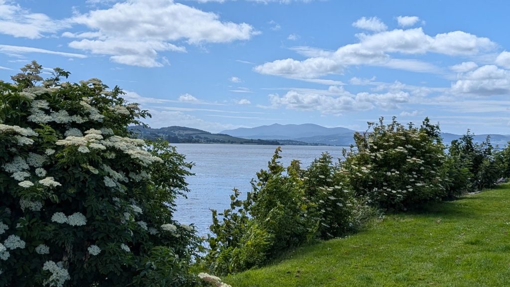
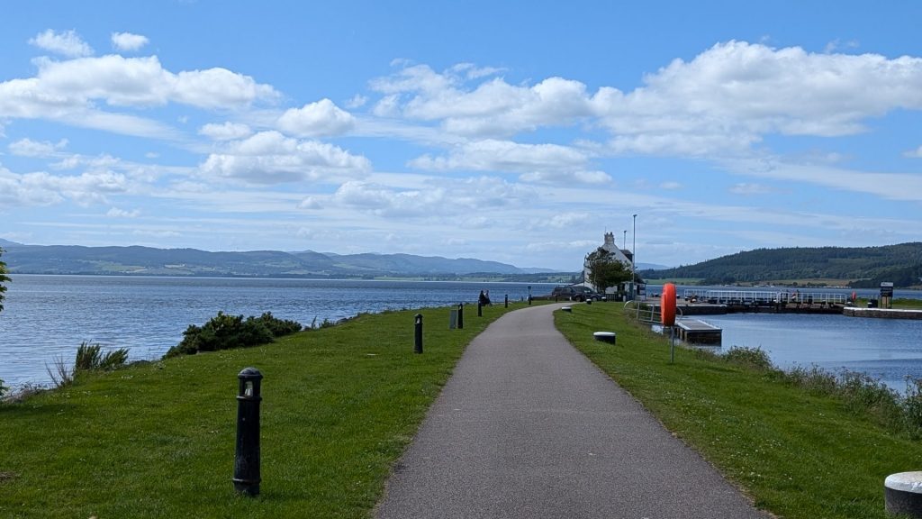
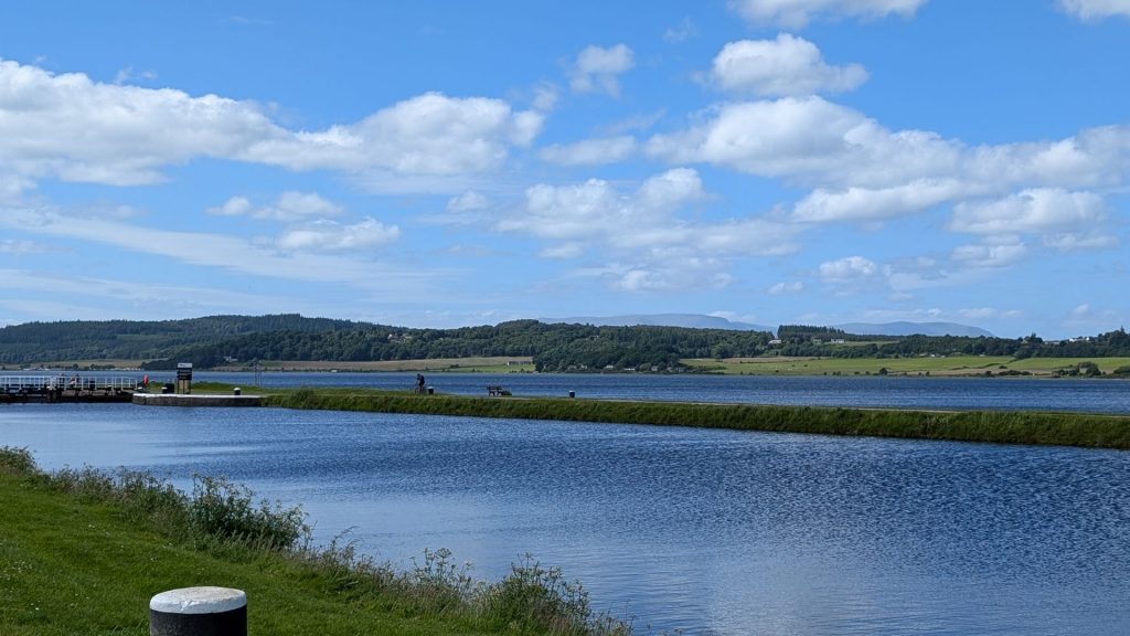
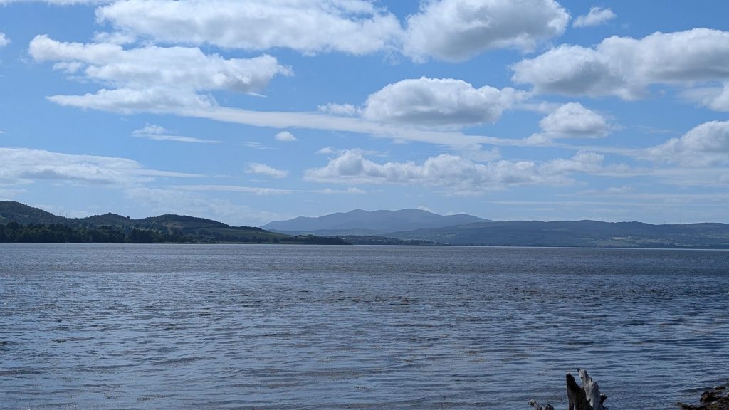
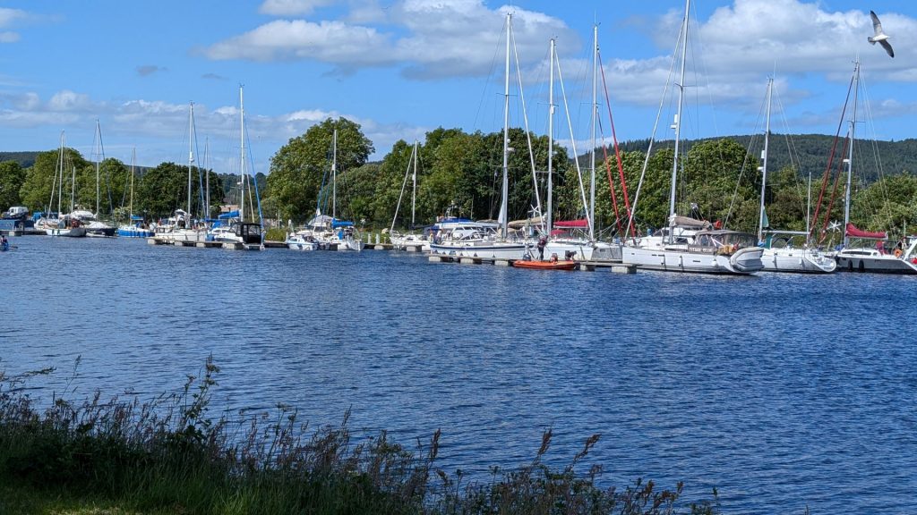
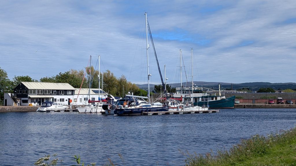
To, At, and From Clachnaharry and the Caledonian Canal
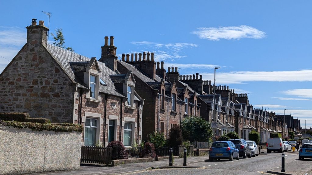
Back to town. . . and our hotel
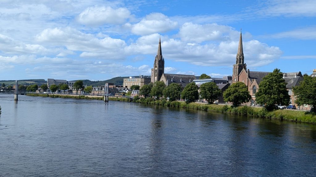
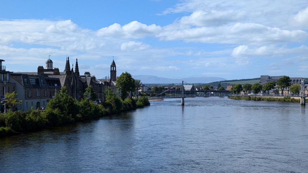
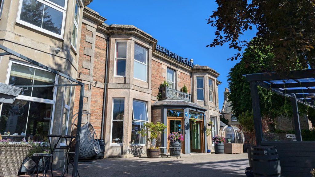
Thus endeth our first full day in Inverness, Scotland.
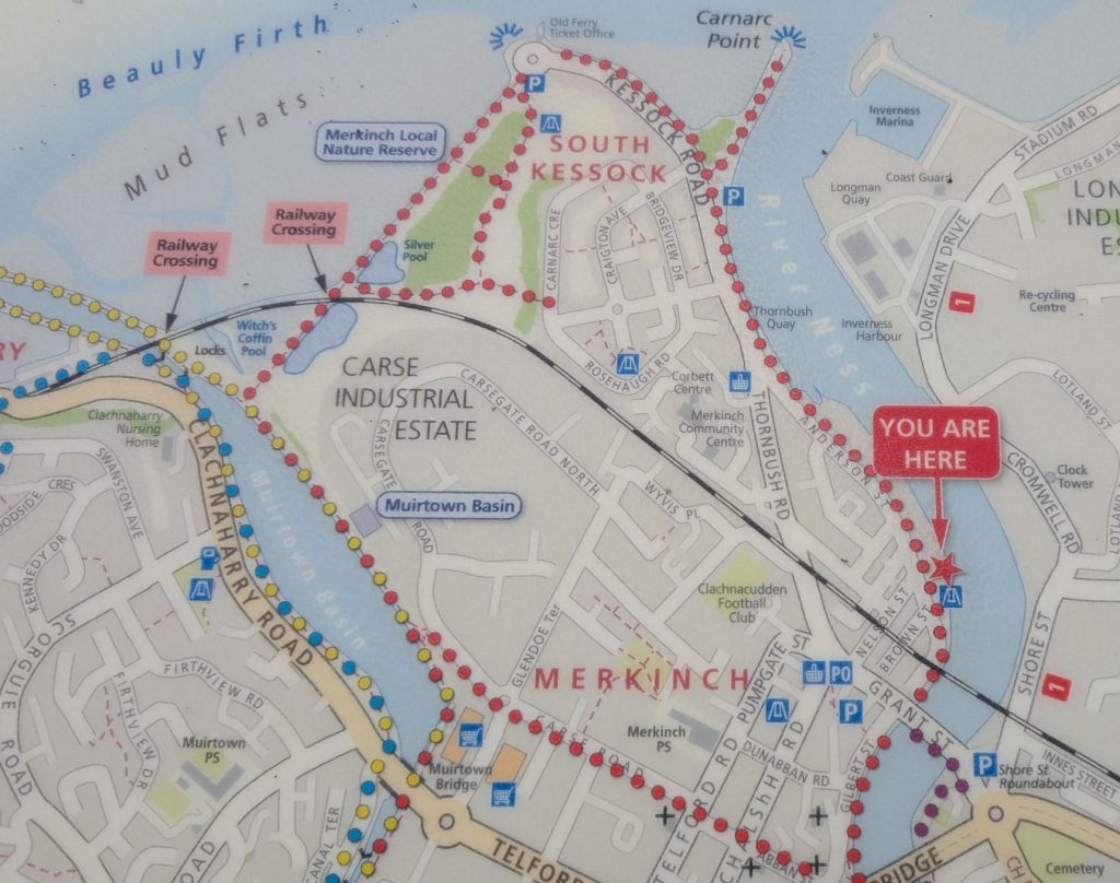
Michael was still under the weather on our second day in Inverness so I set out on another walk. This time I took the trail that included Carnarc Point (ignore the “You are Here” sign, that just happened to be where I was when I took a picture of the map).
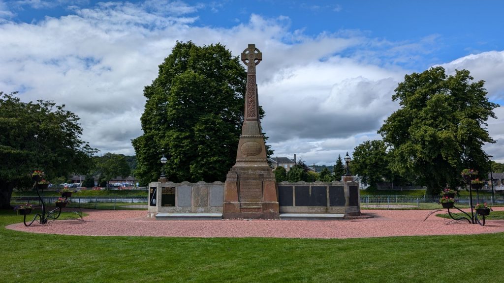
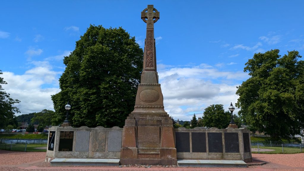
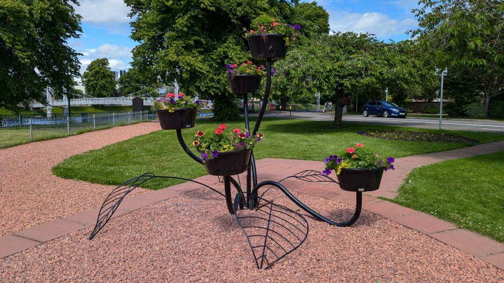
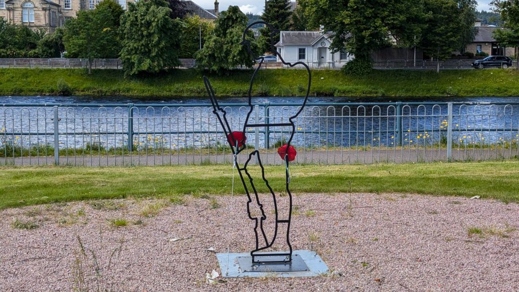
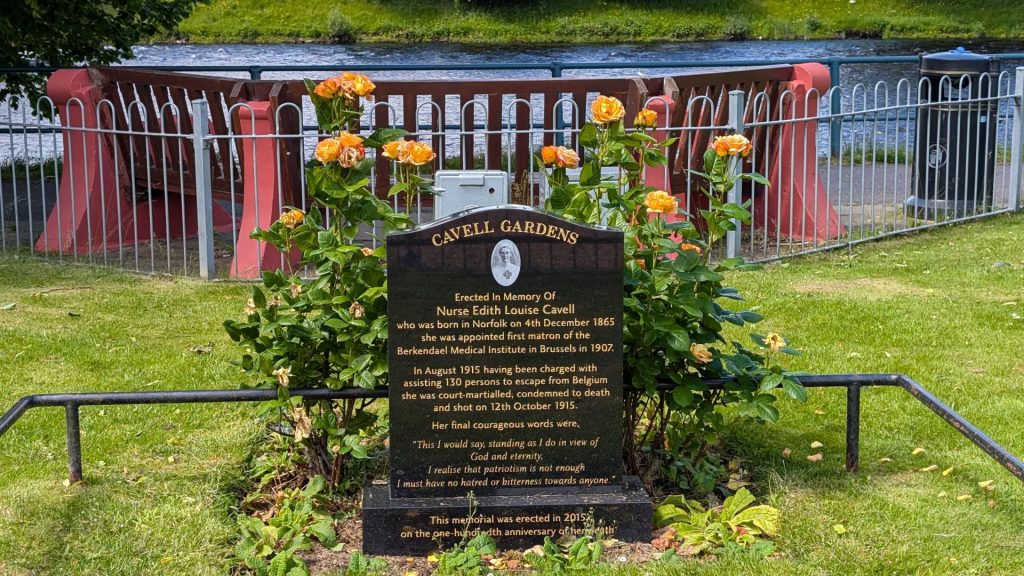
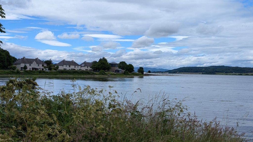
As per usual in this post, I will primarily share pictures. The first few pictures are of the Inverness War Memorial.
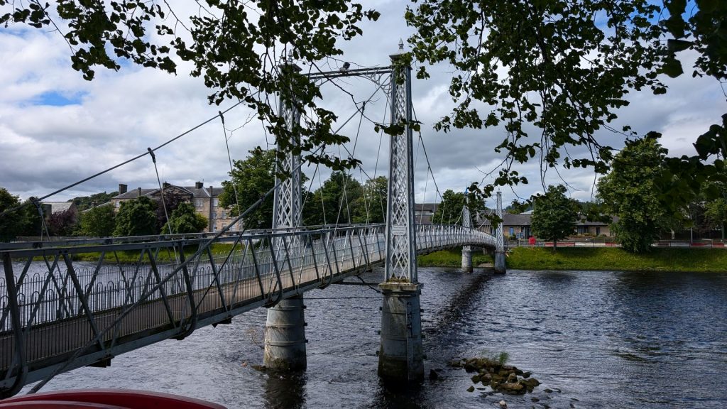
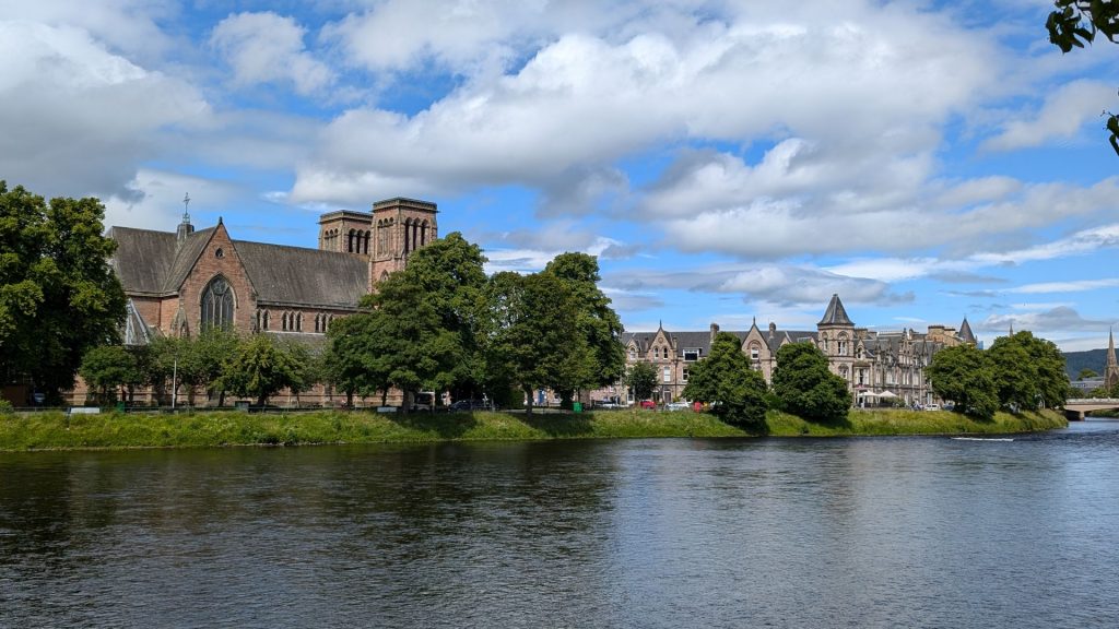
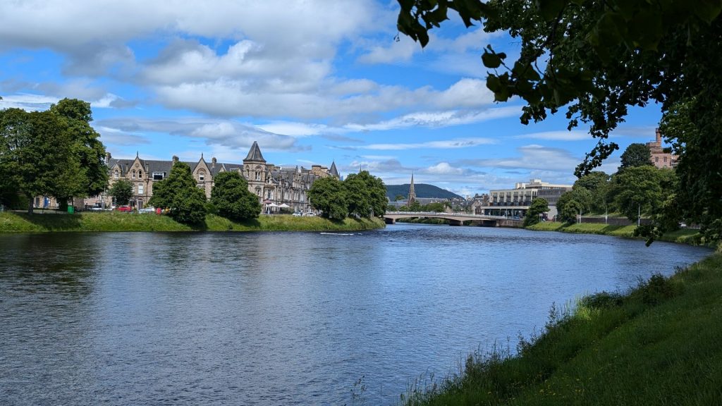
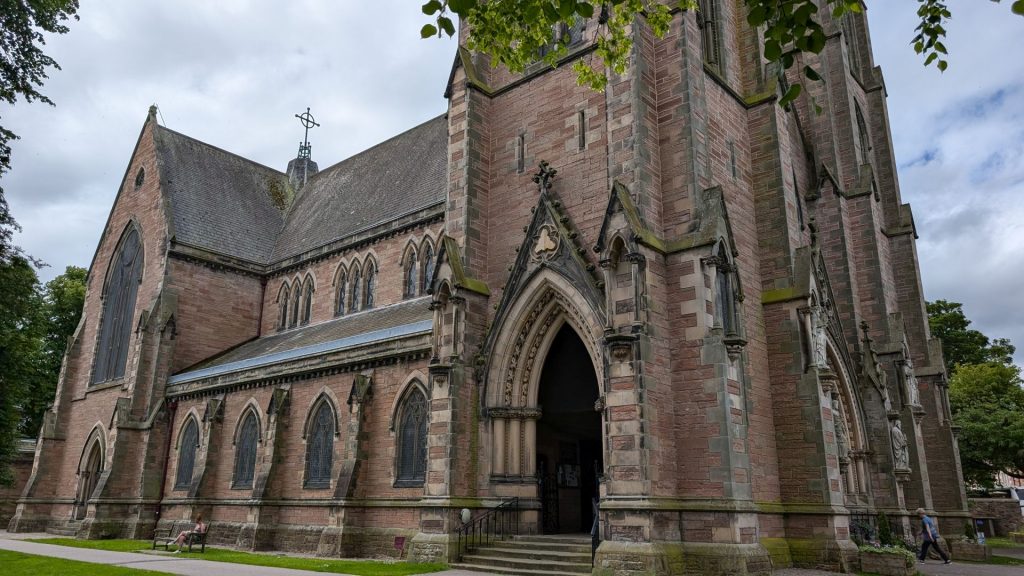
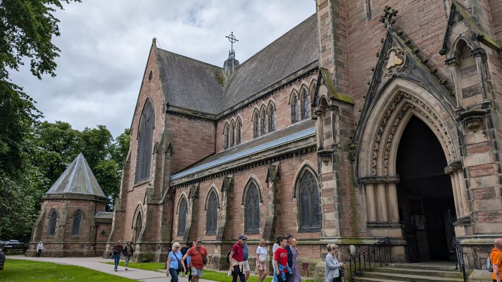
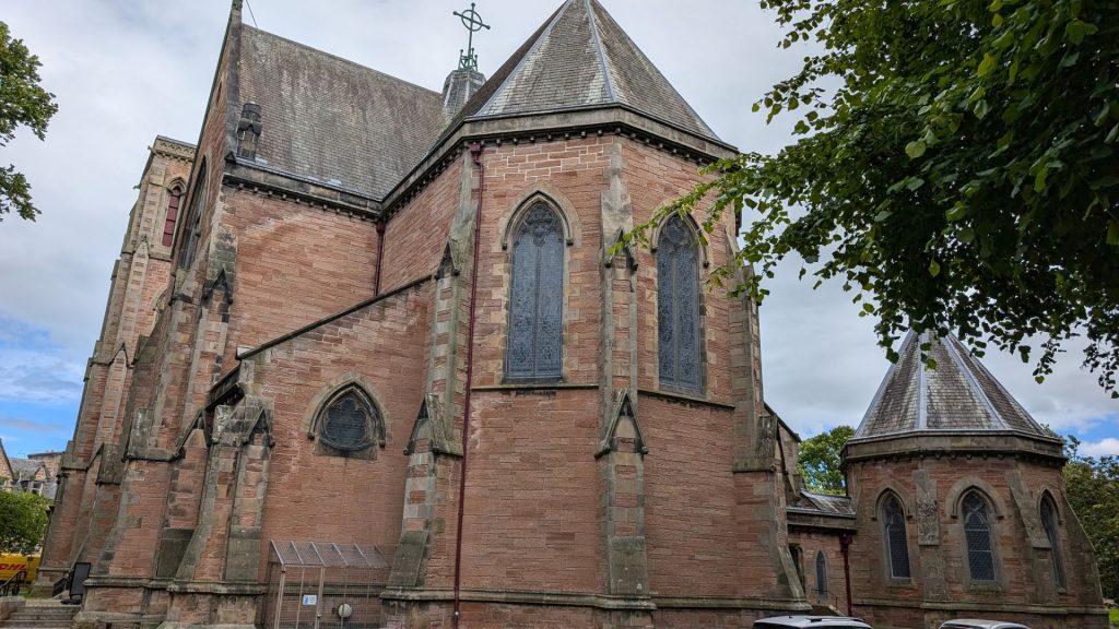
The following pictures are of the Inverness Cathedral.
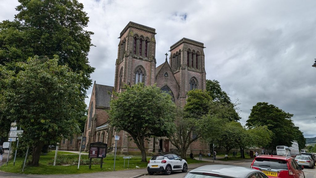
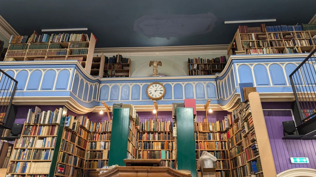
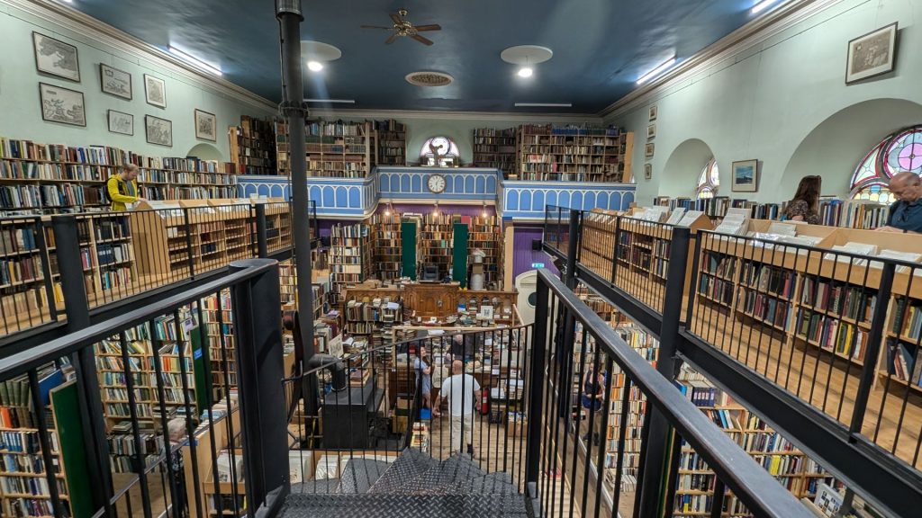
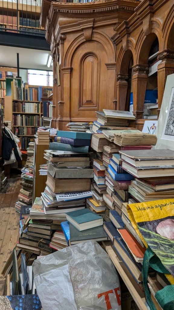
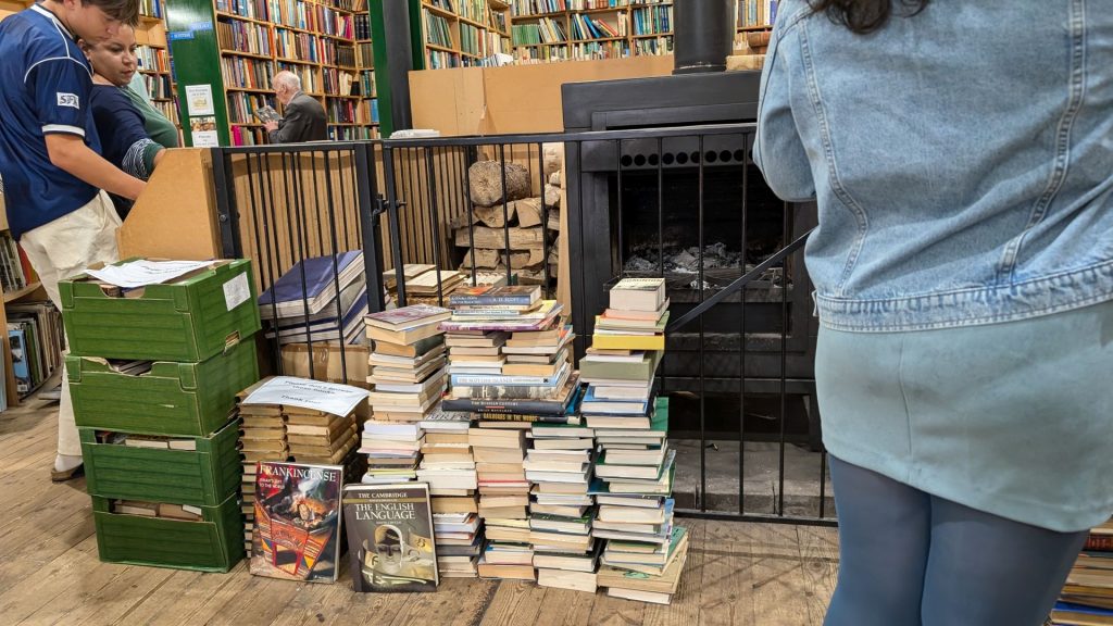
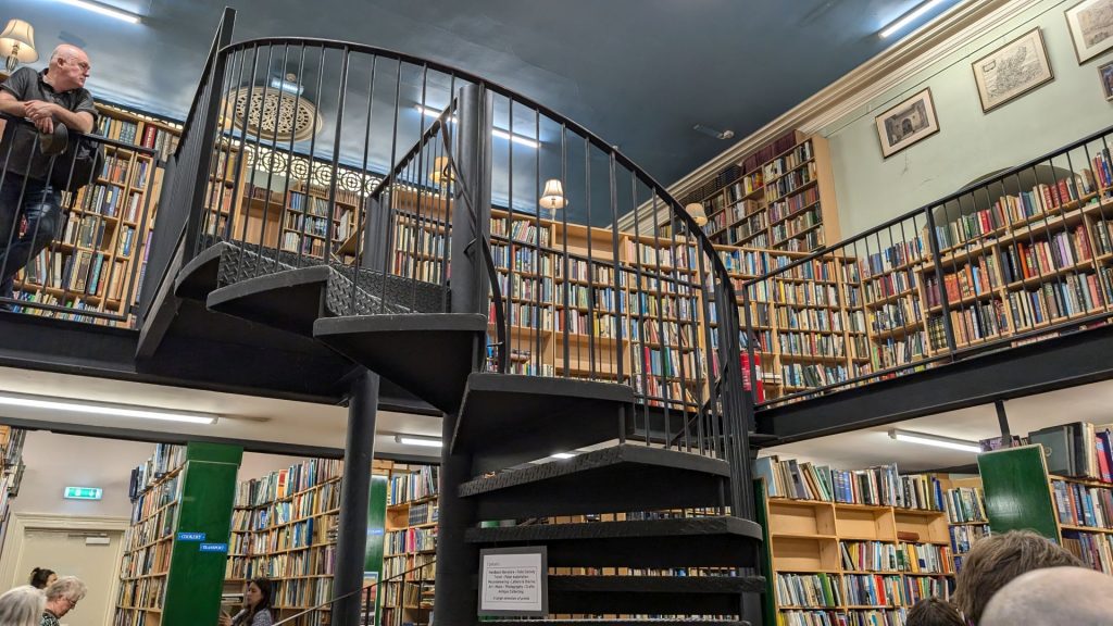
I’d wanted to go to this bookstore the previous day but it was closed. This was another reason I was glad to stay another day. This is Scotland’s biggest second-hand book shop: Leakey’s Bookshop. There are so many books that some are piled on the floor.
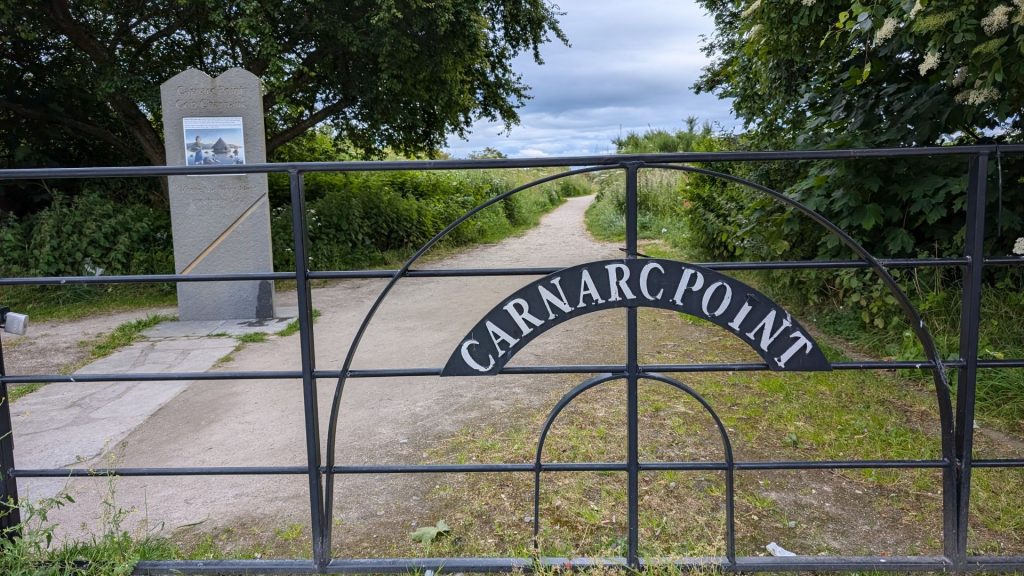
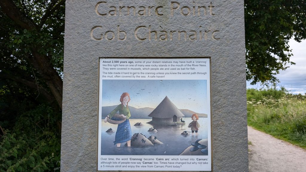
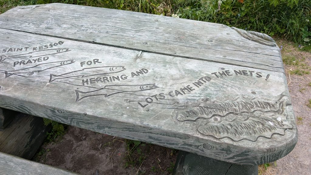
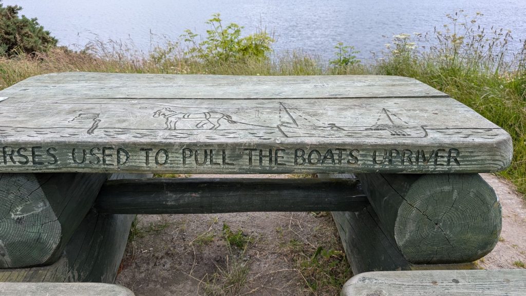
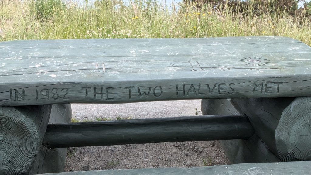
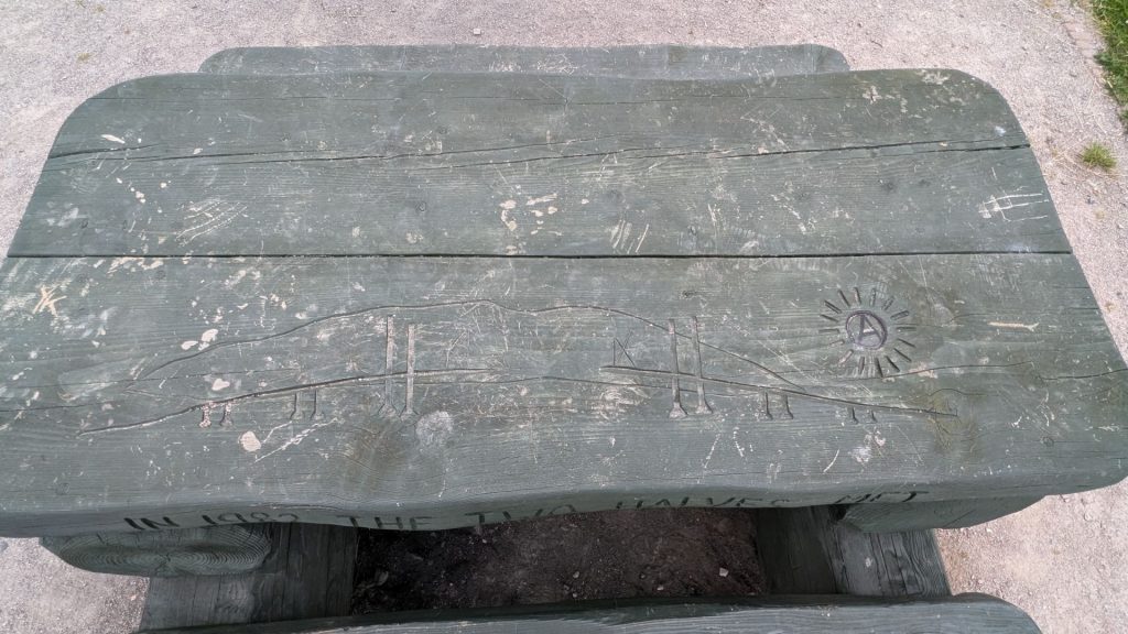
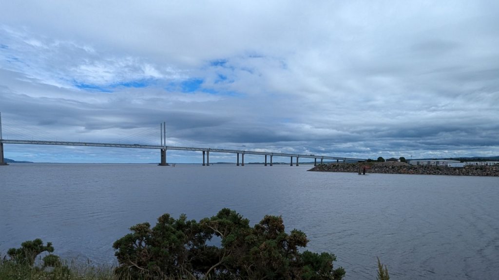
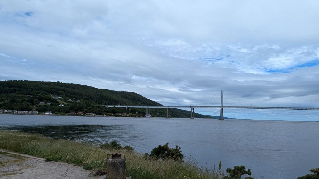
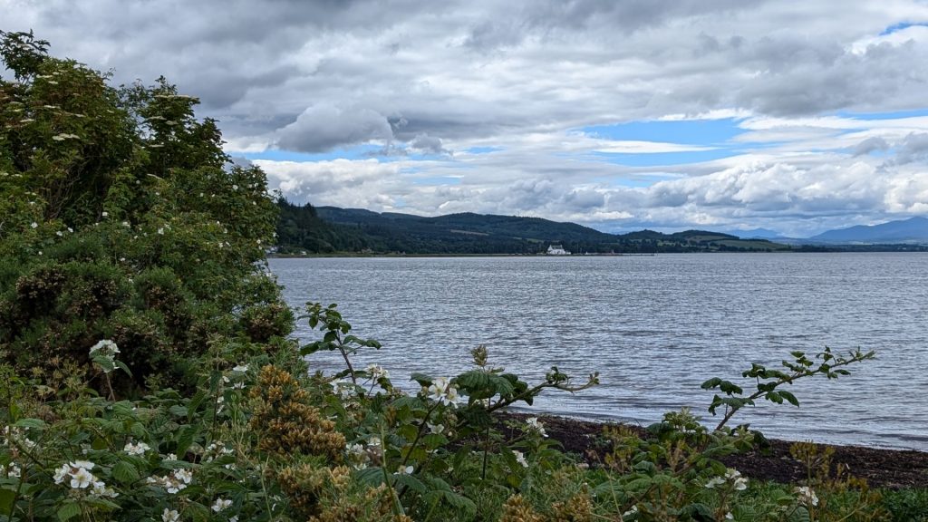
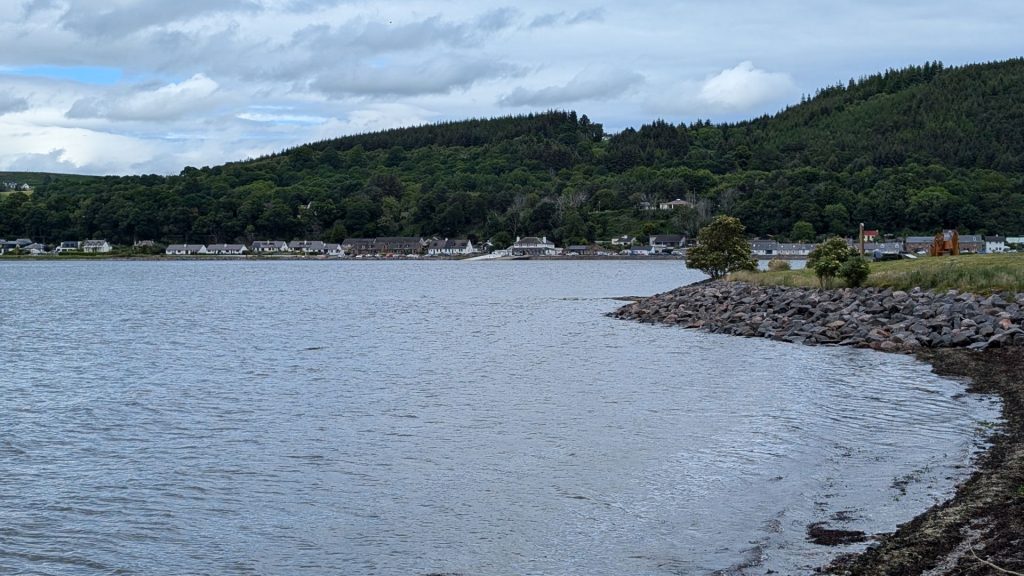
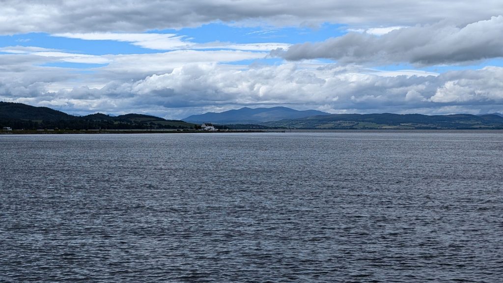
And now to Carnac Point! Information appeared on signs and picnic tables.
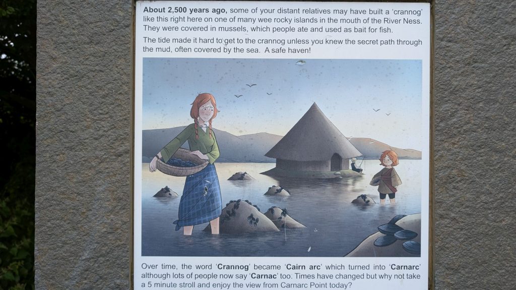
The sign above reads:
“About 2,500 years ago, some of your distant relatives may have built a ‘crannog’ like this right here on one of the many wee rocky islands in the mouth of the River Ness. They were covered in mussels, which people ate and used as bait for fish.
The tide made it hard to get to the crannog unless you knew the secret path through the mud, often covered by the sea. A safe haven!
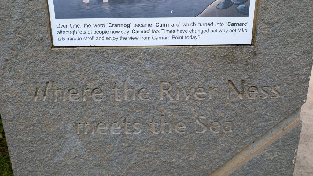
Over time, the word ‘Crannog‘ became ‘Cairn arc’ which turned to ‘Carnarc’ although lots of people now say ‘Carnac’ too.”

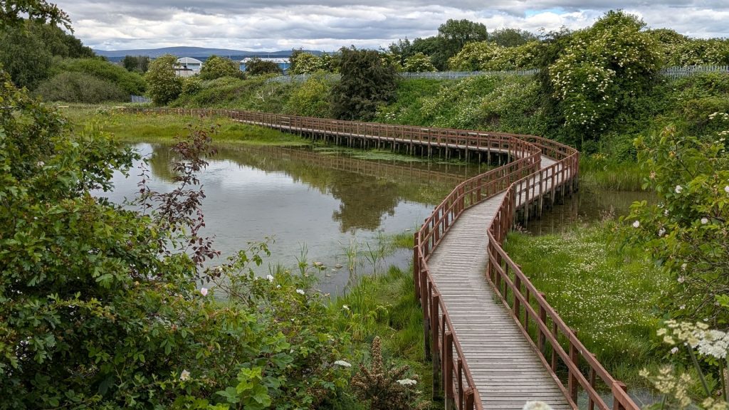
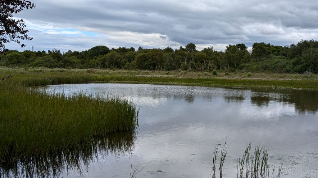
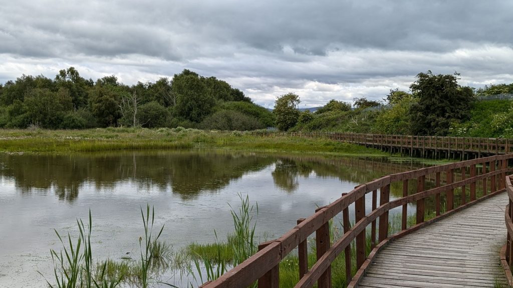
I took a lovely little side path at one point then returned to the main path.
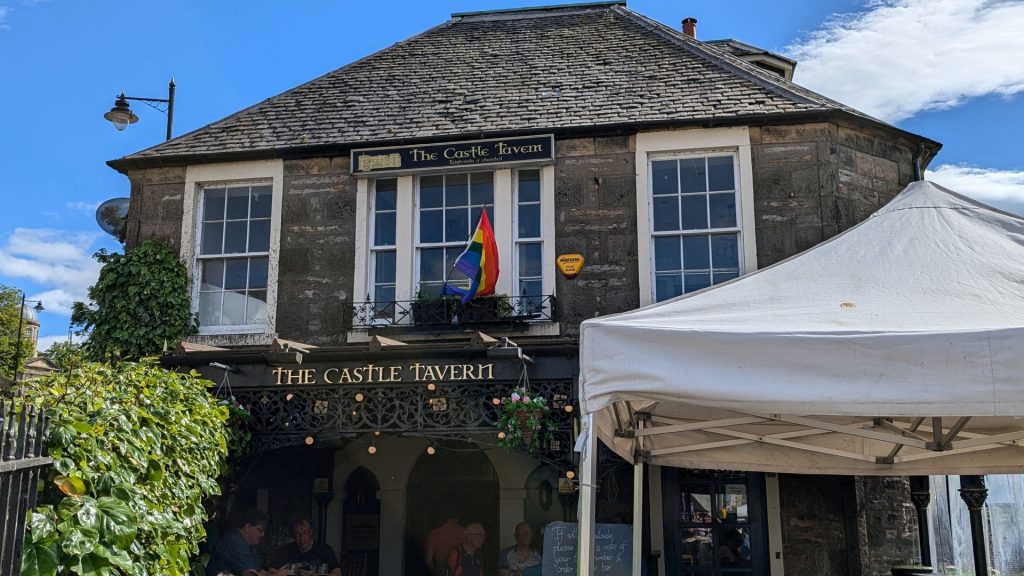
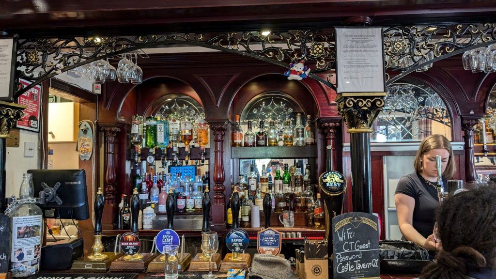
I stopped for a glass of wine at this tavern before heading back to the hotel and Michael.
Our next post takes us to Fort Augustus and Glencoe.
