One of my besties from junior high and her hubby were going to be joining us in Martinique for about nine days. I could not have been more excited! We had been talking about this for over two years.
Prior to their arrival, we took time to clean Seahike and eat out (once). Here are some pictures I took from my walk to and from the chandlery to buy deck cleaner:
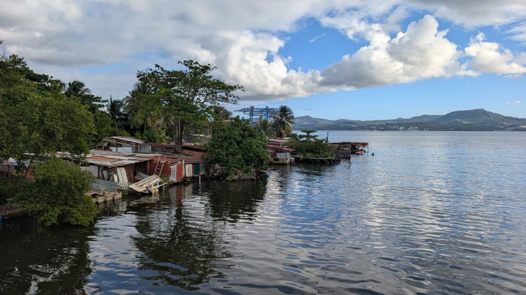
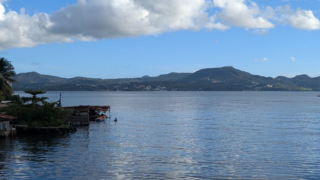
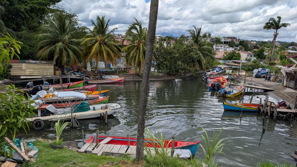
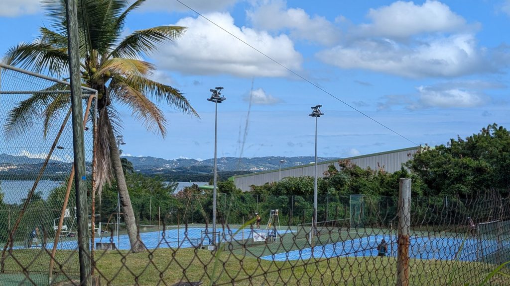
This is where we had dinner. Weird, we didn’t see Pamela Anderson or Davis Hasselhoff. . . but they do have Heineken!
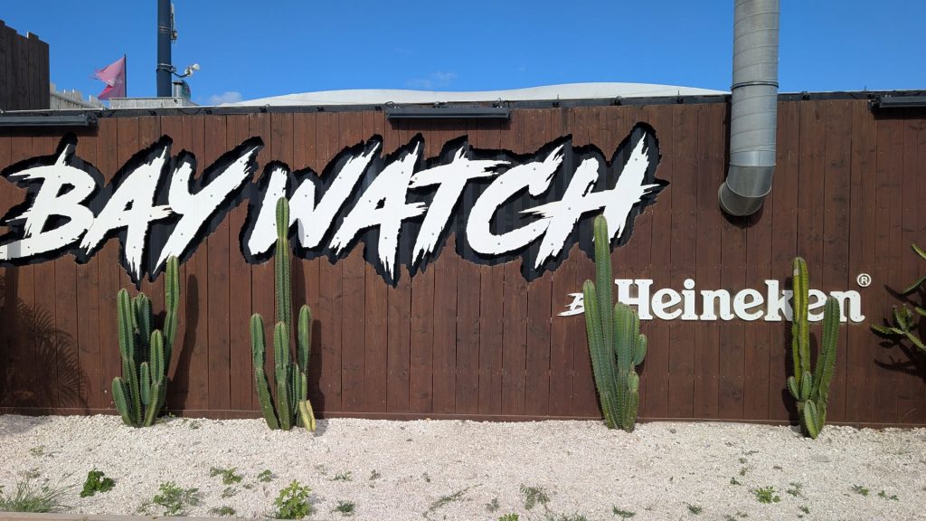
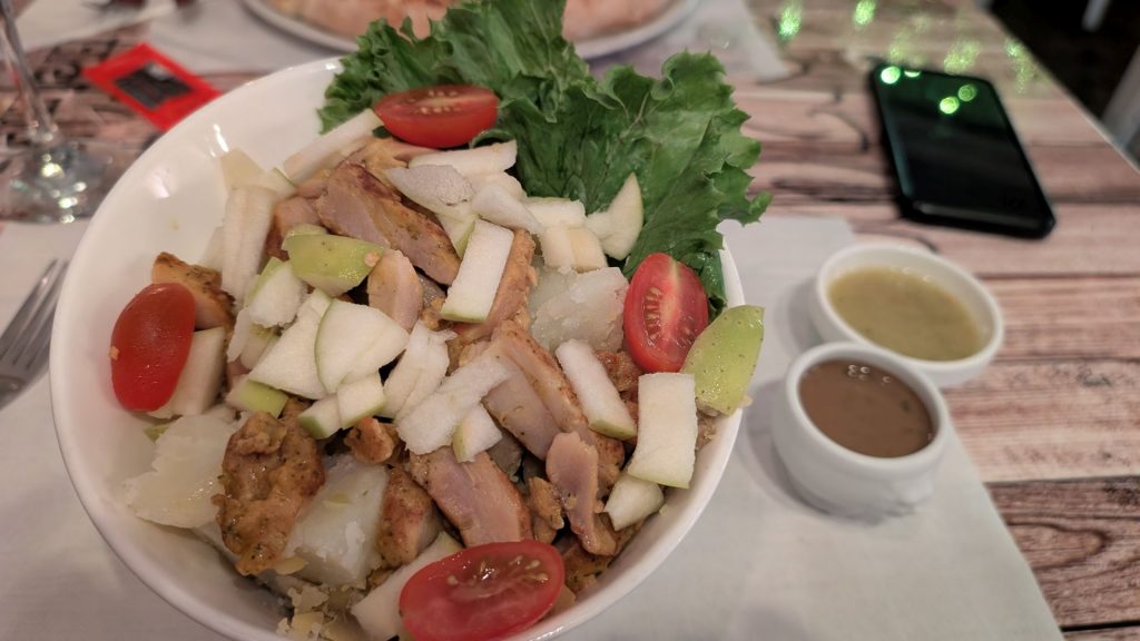
The food was yummy. Michael had a pizza with lots of toppings. I had a chicken, potato, squash, and apple salad.

The view from Seahike (now in the marina) at night is very calming:
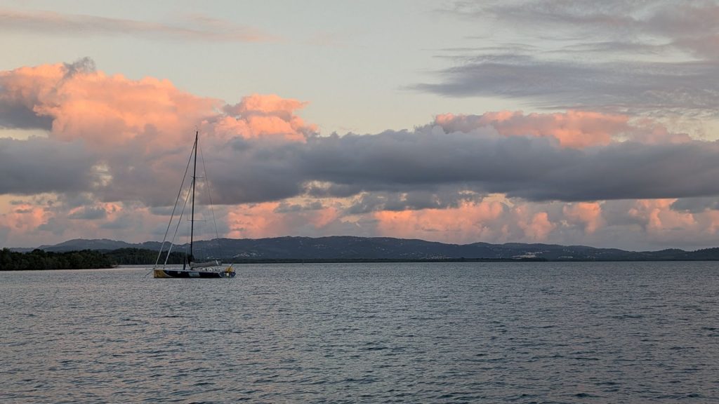
And just like that, Caroline and Jim arrived!
We chilled on Seahike the first afternoon and evening, as they’d had a tiring flight. We had a light dinner and likely too many adult beverages, based on the conversation we had. It was quite interesting!
First Didier Waterfall
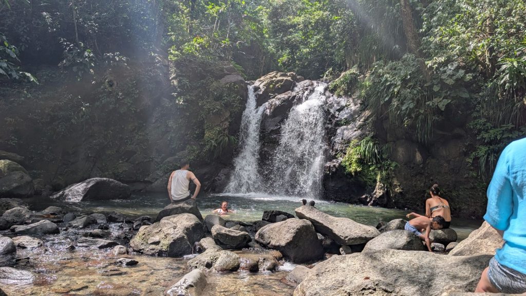
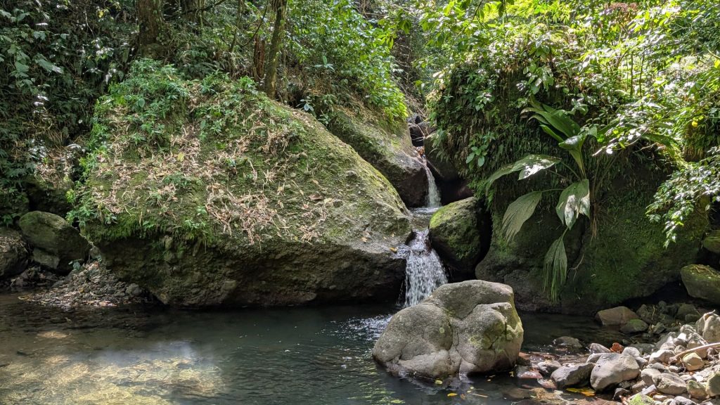
We decided to hike a lot during their visit. We chose the Didier Waterfall hike the first day. It was a good choice since it was a hot day (every day they visited was hot, though) and the waterfall felt soooooo refreshing! (I should note that we only hiked to the first falls. There is a second.)
This is the information from All Trails about the 1st Didier Waterfall hike:
Length: 1.3 mi
Elevation gain: 534 ft
Type: Out & back
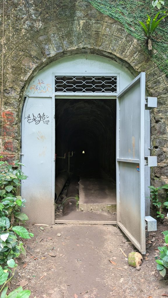
“Enjoy this 1.3-mile out-and-back trail near Fort-de-France. Generally considered a moderately challenging route. This is a popular trail for hiking, but you can still enjoy some solitude during quieter times of day. The trail is open year-round and is beautiful to visit anytime. A walk through the woods in Martinique’s Regional Nature Park will take you to the first Didier waterfall, located behind the dam on the Rivière Duclos. Tropical plants surround this pretty waterfall. You can swim at the foot of the waterfall. You will have to pass through a tunnel, so having a headlamp or using your phone’s flashlight for this passage may be helpful. Highlights include beautiful scenery and a refreshing spot at the falls. Challenges are slippery rocks and a vague ending. It’s recommended to enjoy the trail despite its difficulties.”
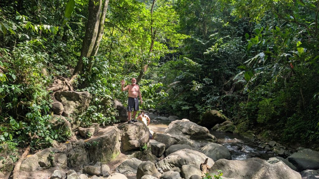
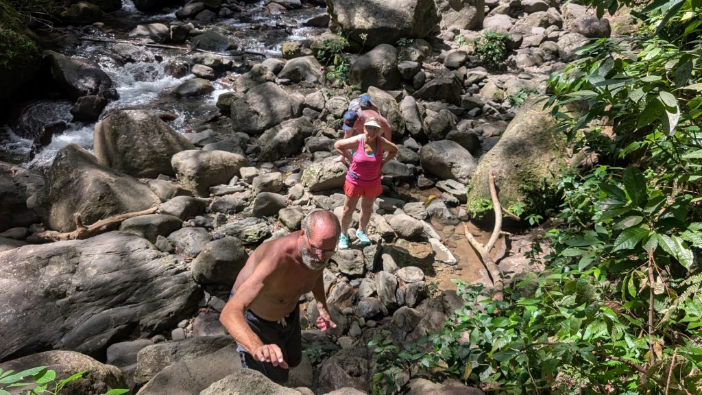
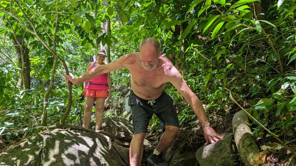
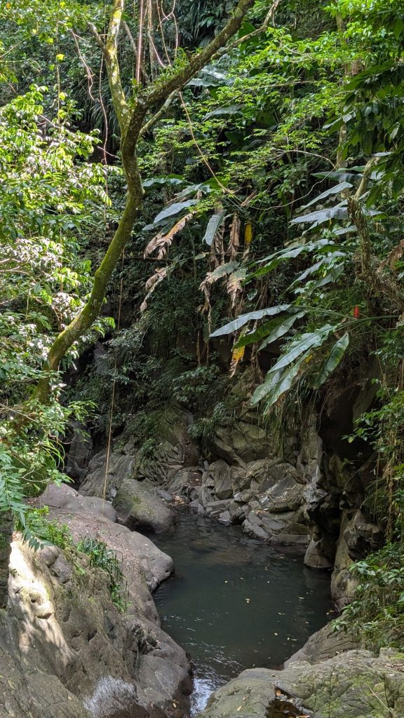
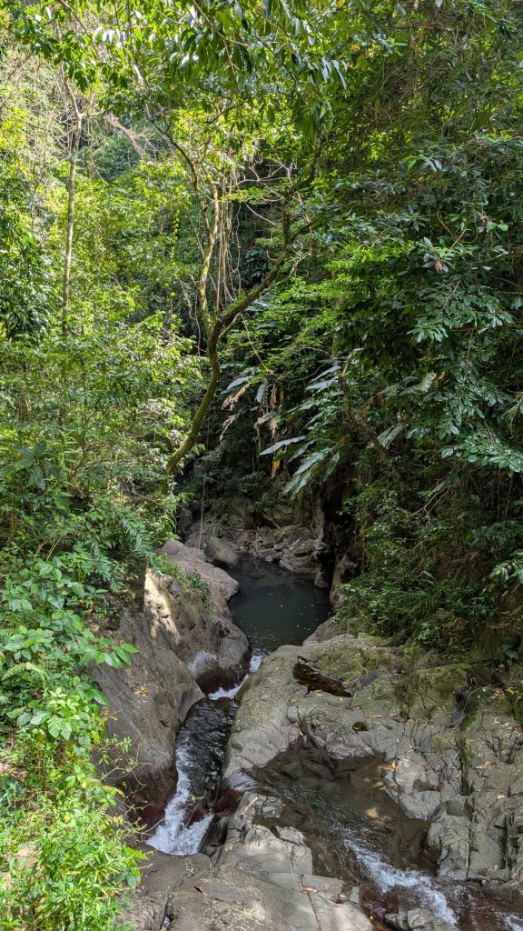
Here are some pictures from our hike.
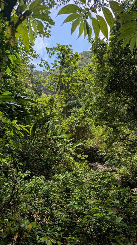
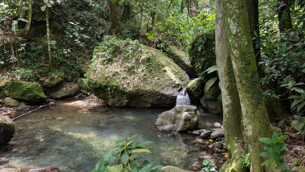
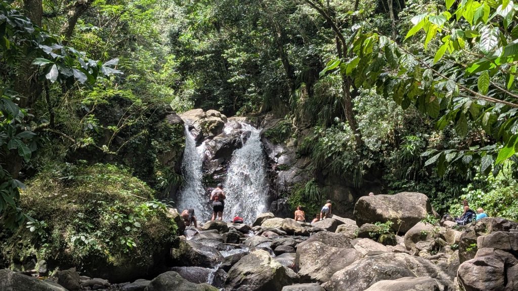
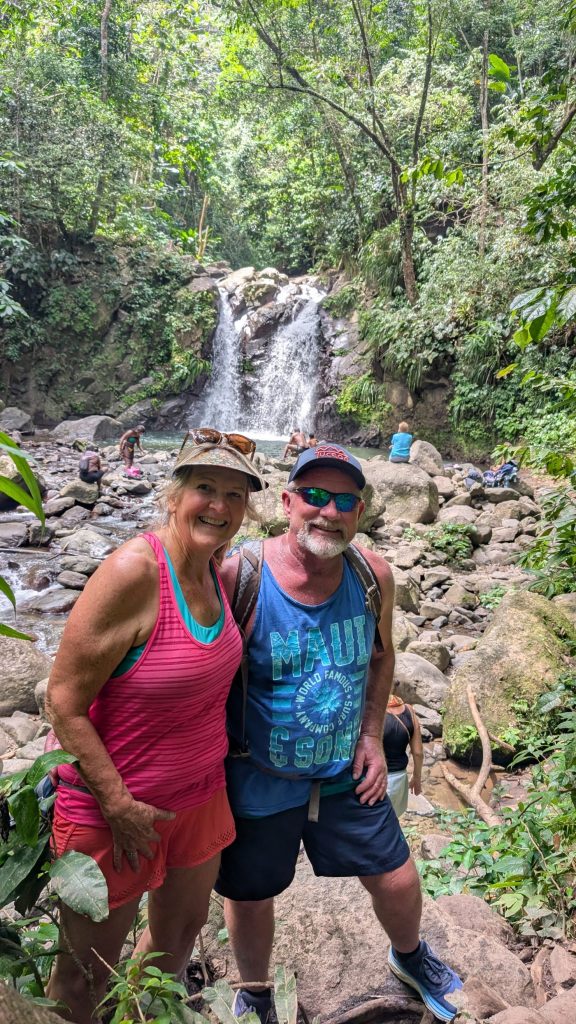
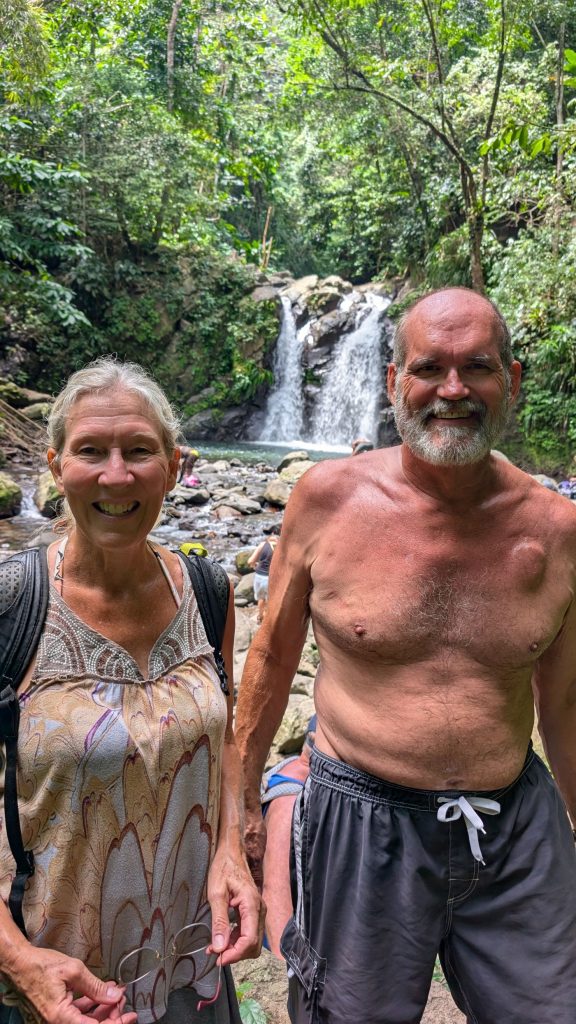
We all shed our outer clothes and jumped in the pool in our swimsuits. The waterfall was cool, with the water coming down quite hard. We all swam behind the waterfall (gotta see the backside of water! – Disney reference again), then swam through it several times. It was a lot of fun!
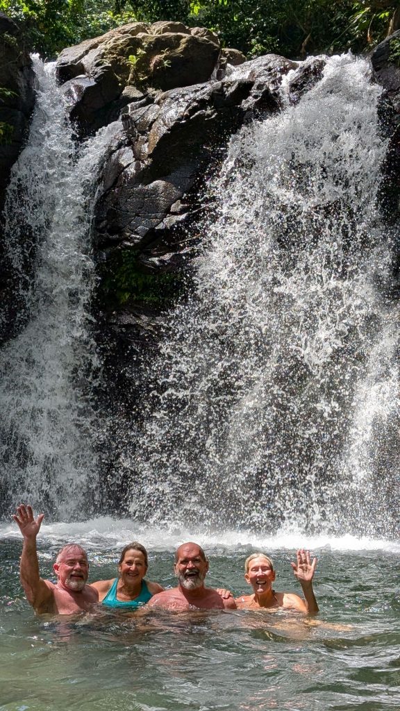
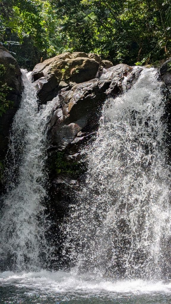
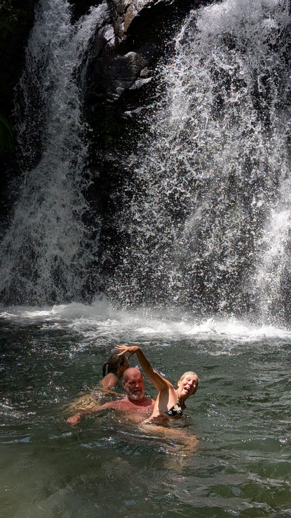
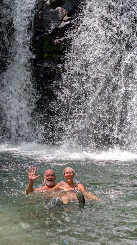
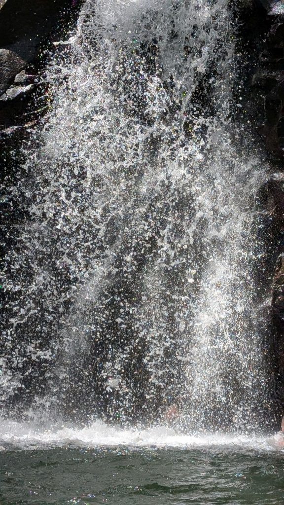
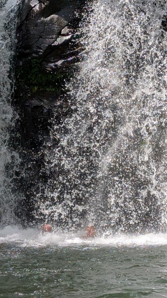
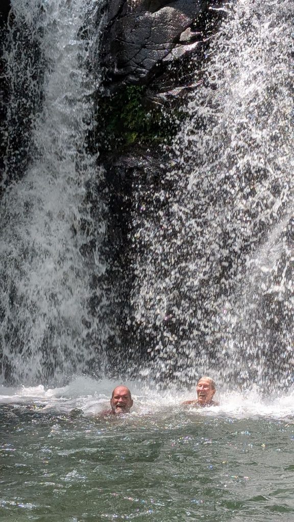
We all felt refreshed for the return hike.
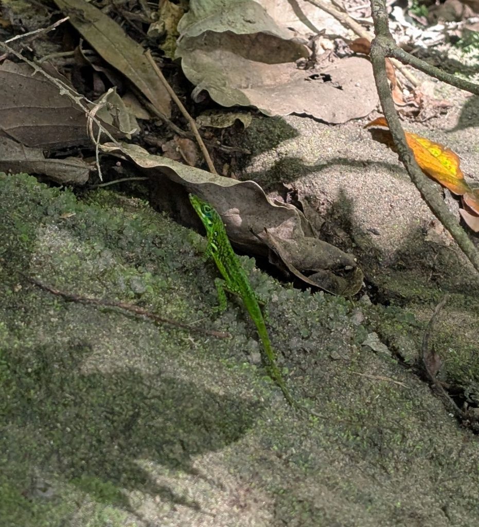
We spotted this cute little guy (actually a few of them) along the way:
Presqu’île Caravelle
March 20th was dedicated to the Presqu’île Caravelle hike. We took the 5.6 mile route and almost died. Okay, that is a tiny exaggeration. But it truly was HOT! This would not have been a challenging hike at all if it had been cooler, but since it was hot, it was a bit tiring.
Let’s talk about the Presqu’île Caravelle before we get to the hike. It is a peninsula located on the east coast of Martinique. Here:
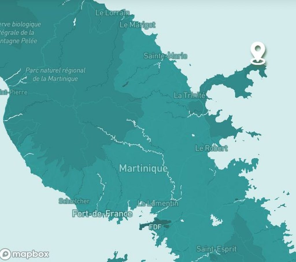
The Caravelle peninsula nature reserve is part of the Martinique Regional Nature Park.
Protected since 1976, the Caravelle peninsula covers 378 hectares. It is known for its diverse landscapes.
But what we learned later, when we happened upon a museum by accident (a happy accident!), was that the Caravelle Peninsula, formed 10 million years ago, is the oldest part of Martinique! How cool is that?
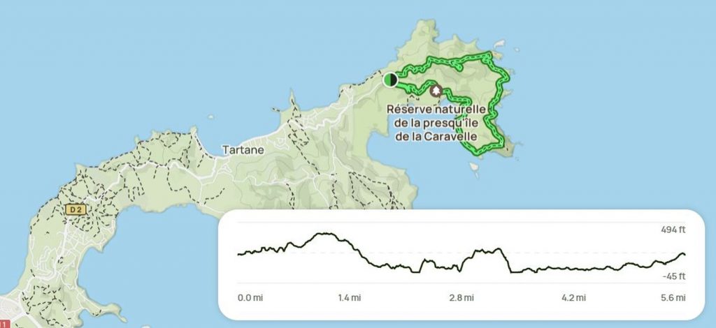
This is the description of our hike from All Trails:
Length: 5.6 mi
Elevation gain: 1,062 ft
Type: Loop
“Enjoy this 5.6-mile loop trail near La Trinité. Generally considered a moderately challenging route. . . Superb hike that will give you beautiful views of the rugged Atlantic coast. . . . There are steep inclines (both uphill and downhill), as well as large boulders to get around and over. The trail is well marked, but there are a few areas where you will need to be careful not to get lost.”
The All Trails map:
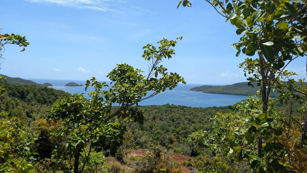
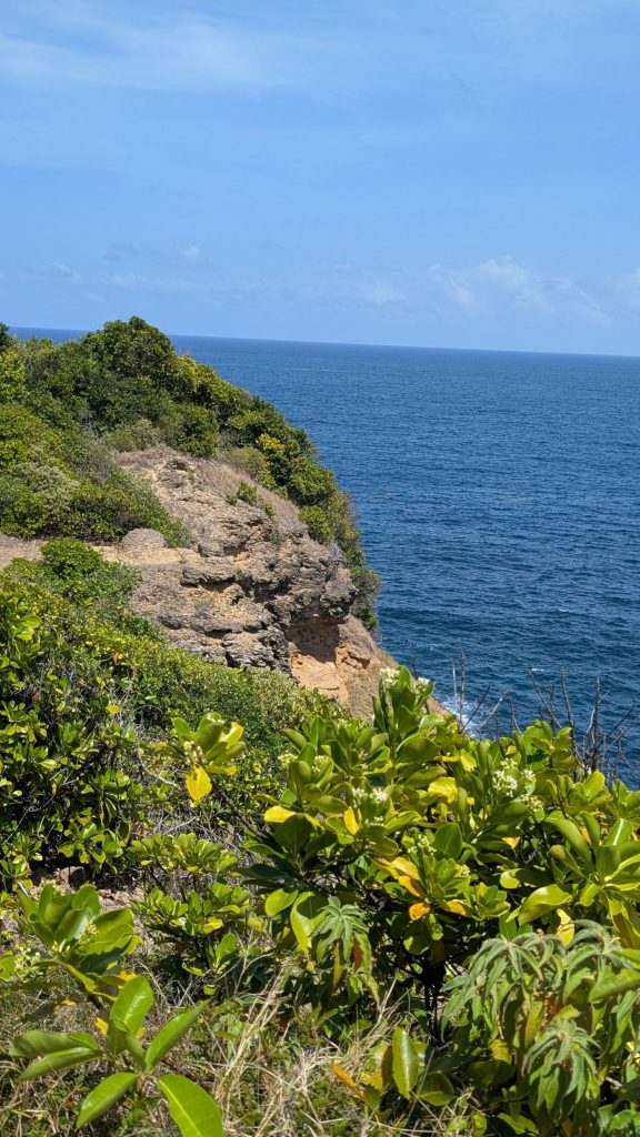
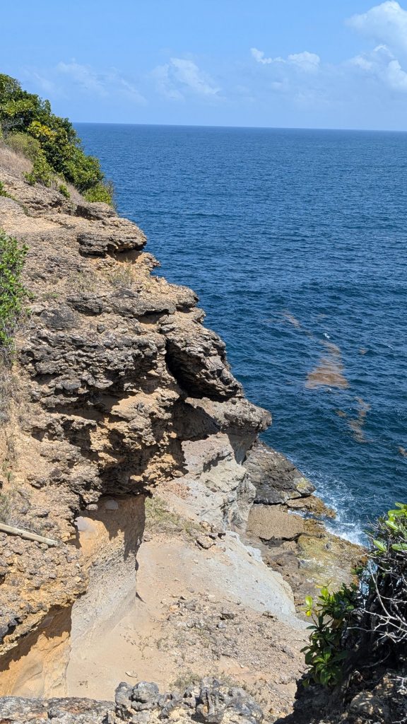
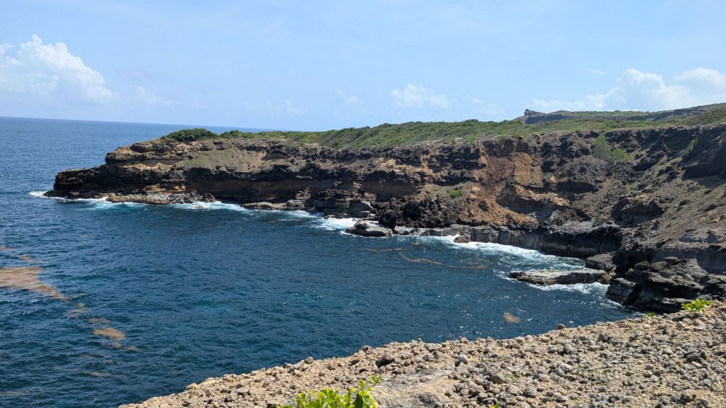
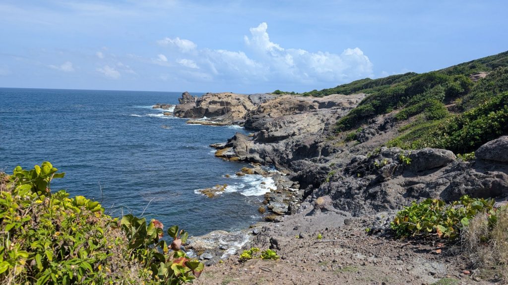
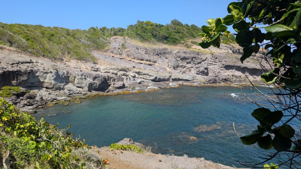
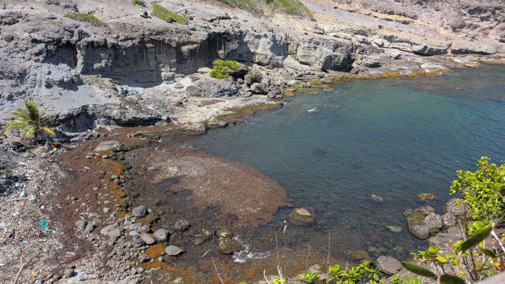
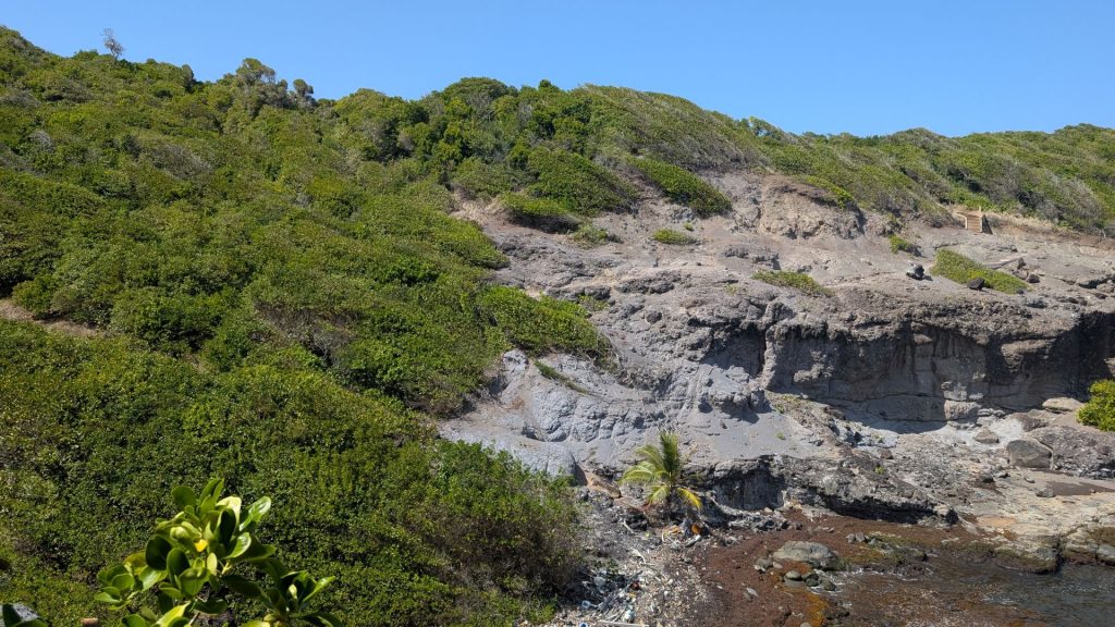
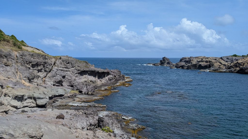
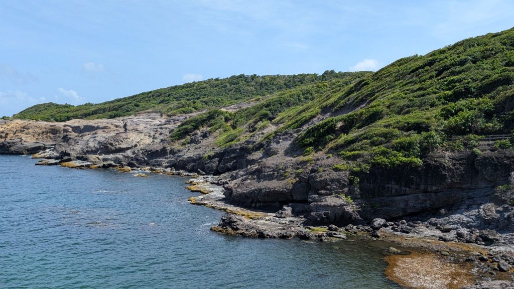
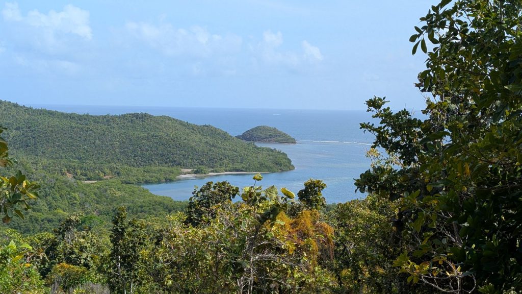
This was one of my favorite hikes. The terrain and views vary a lot, it is just the right amount of challenging, and the scenery is spectacular! I took tons of pictures and am sharing a good portion of them with you. As per usual when I do this, feel free to scroll quickly. There are a lot of bays on the peninsula, which is why there are a lot of pictures of bays.
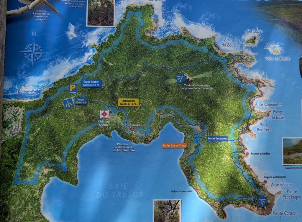
A closer view of the hike – we followed the blue line:
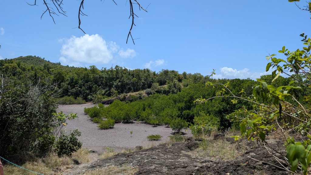
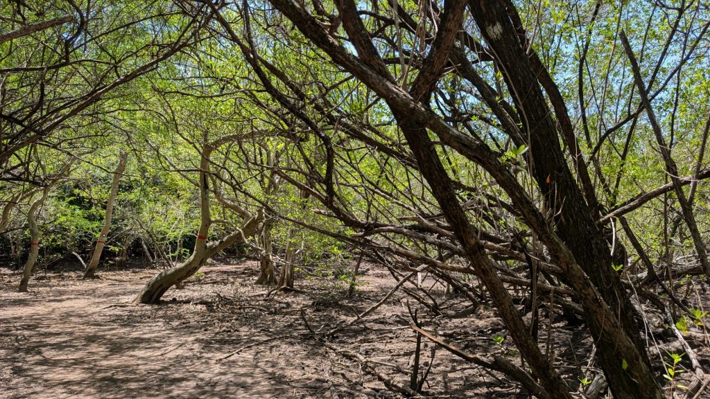
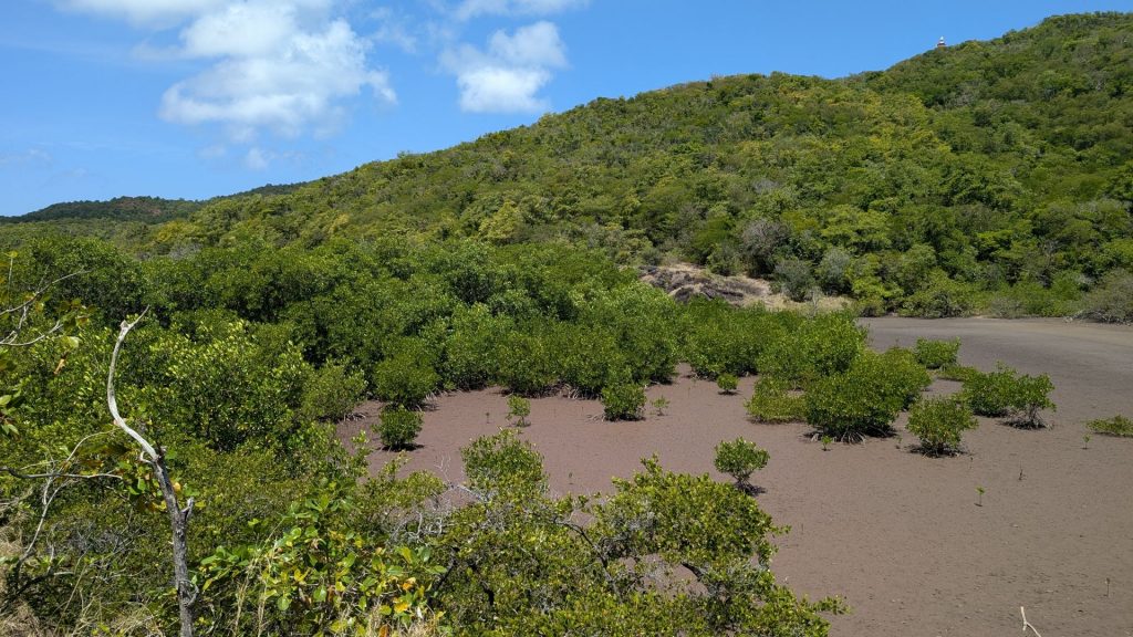
We saw dozens of hermit crab holes (see the right hand picture below), but not many crabs:
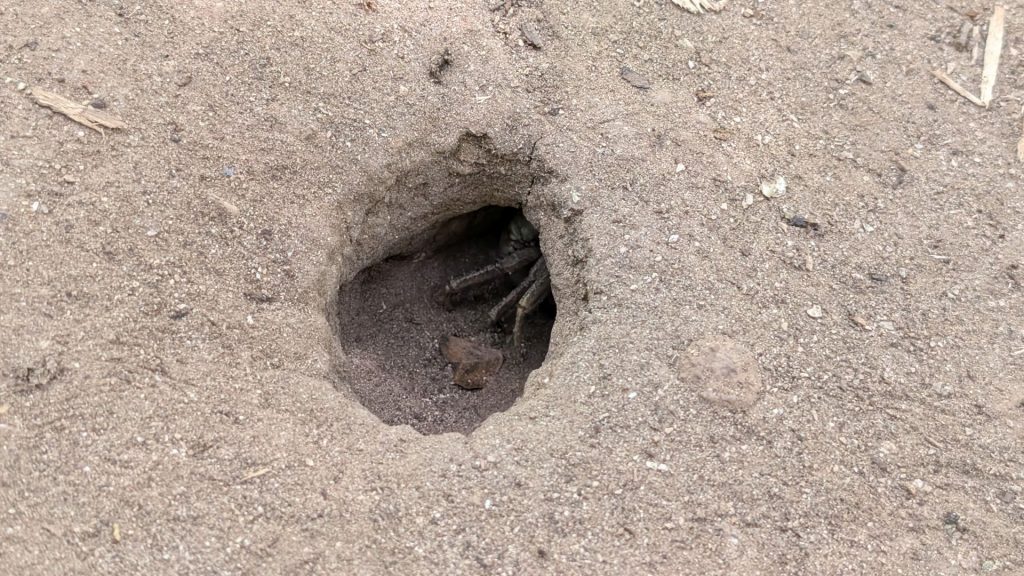
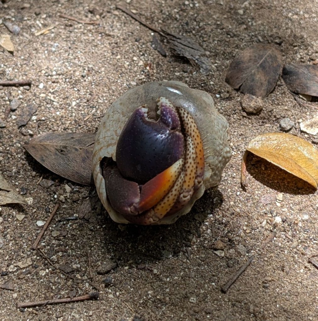
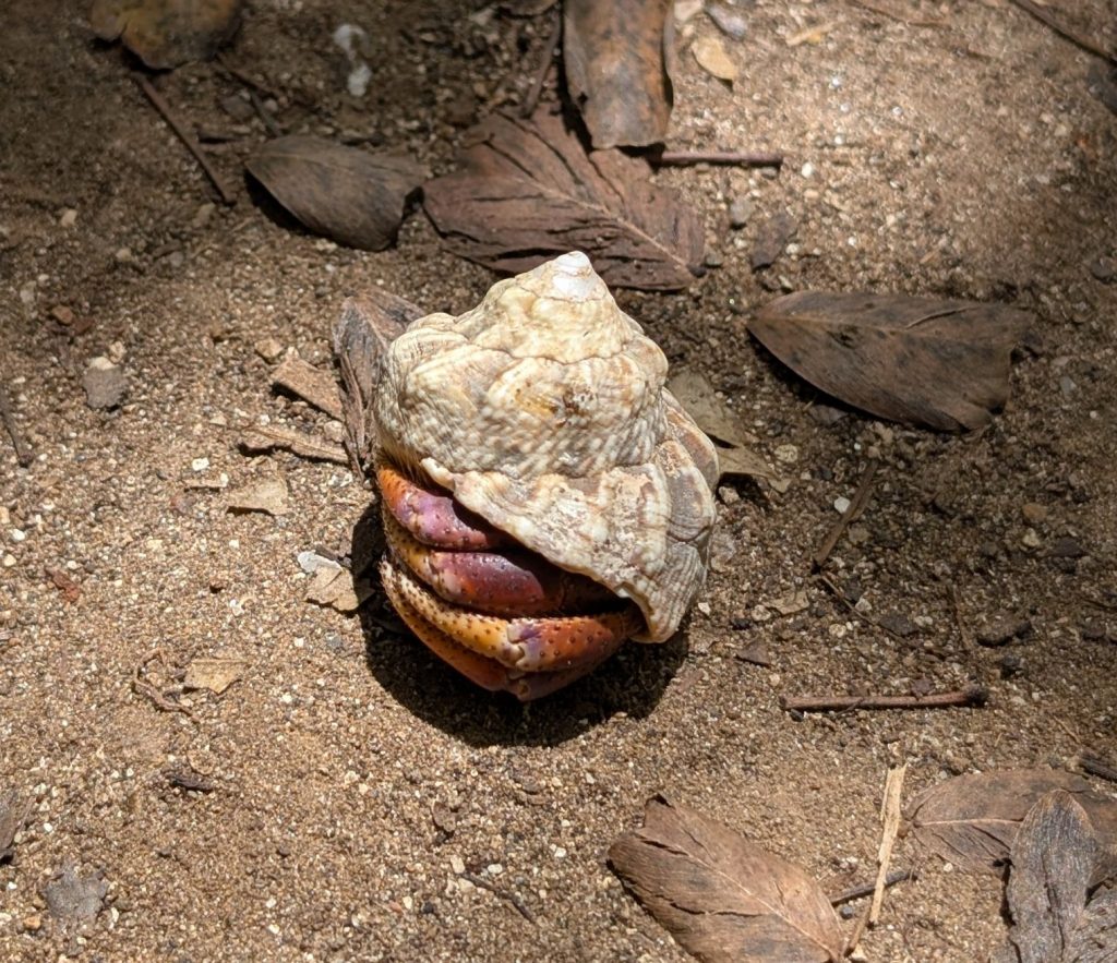
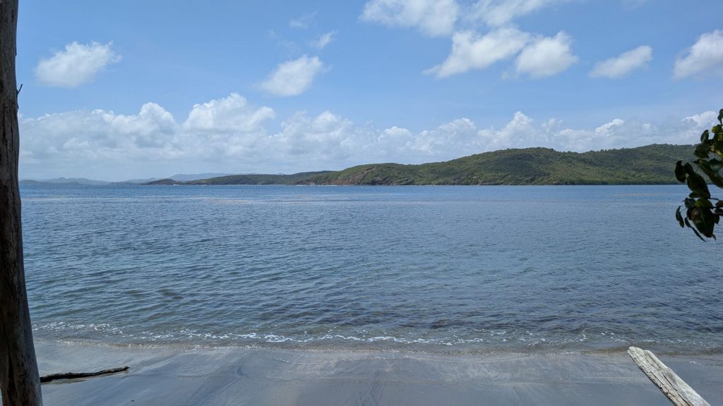
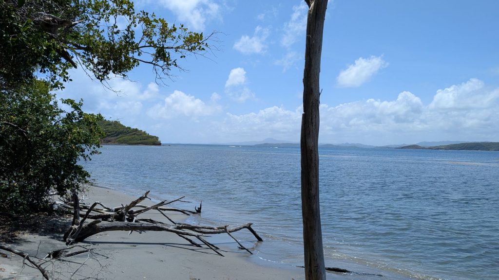
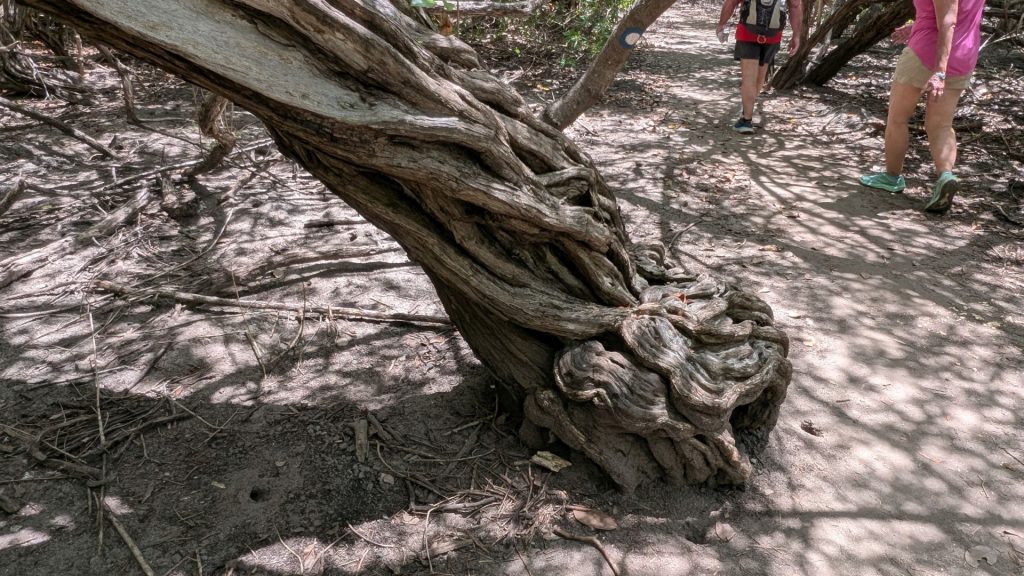
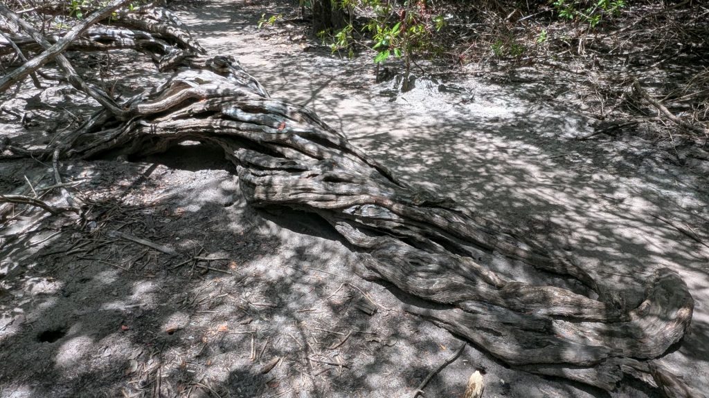
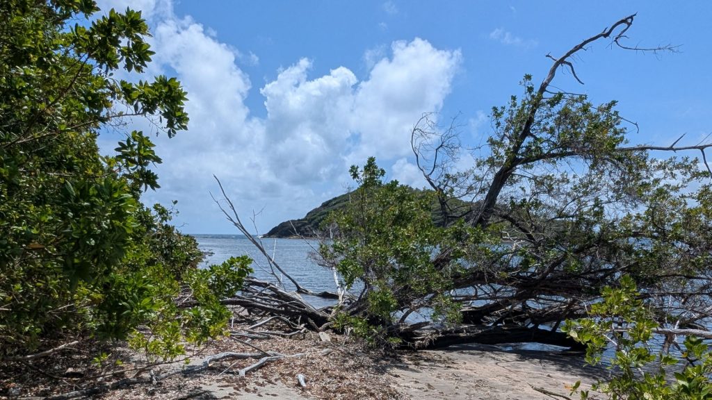
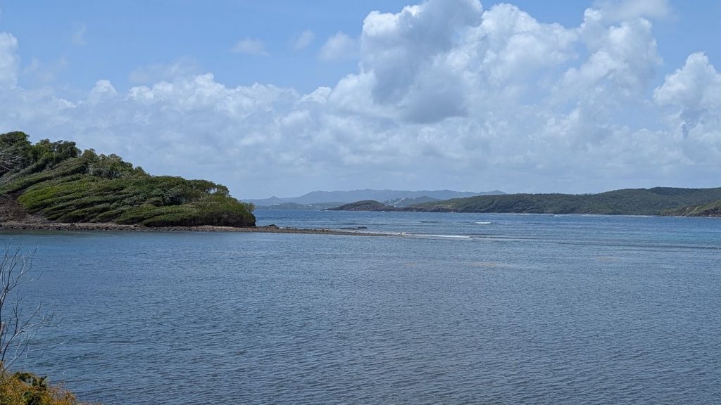
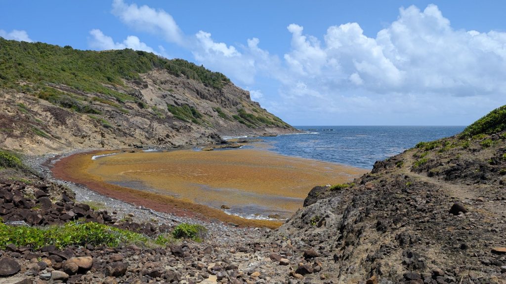
We’ve seen a fair amount of Sargassum [a genus of brown macroalgae (seaweed)] in the water from aboard Seahike, but I’ve never seen this much in one place (left hand picture below)
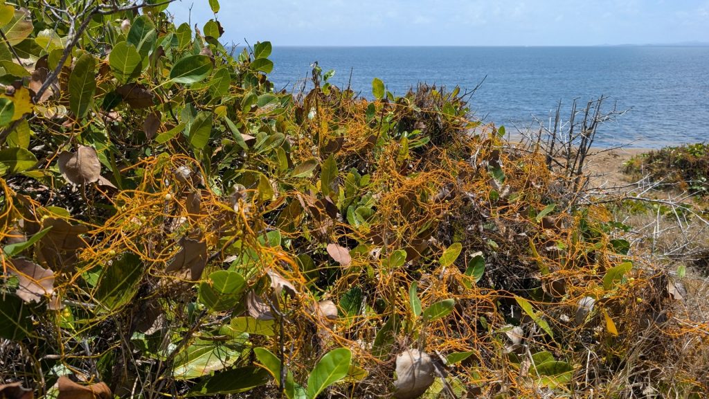
When I first saw this “yellow stuff” on the plant (left hand picture below), I actually thought it was a fishing net. (Although how it would have gotten on the plant is beyond me.) But a closer look showed that it is some kind of creeping vine-like plant. I couldn’t find any information on it, so I can’t tell you what it is.
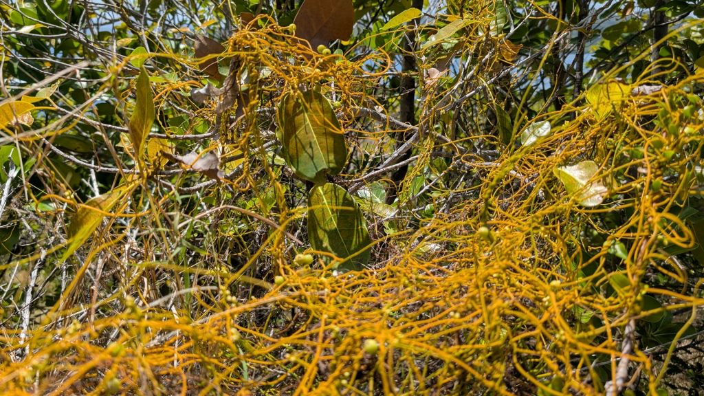
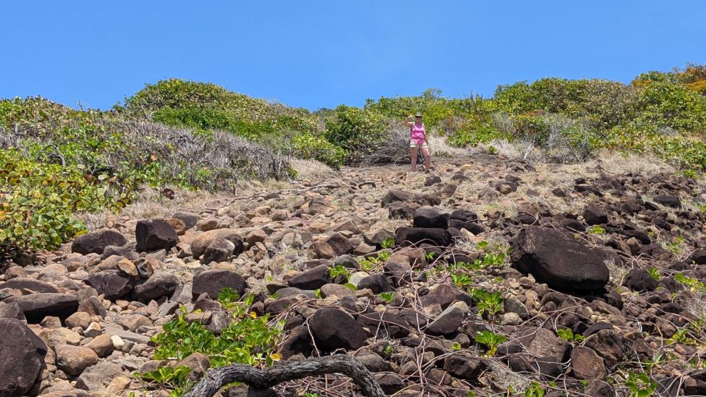
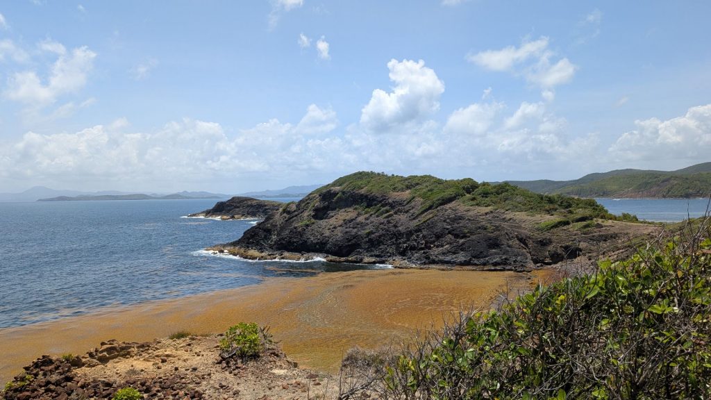
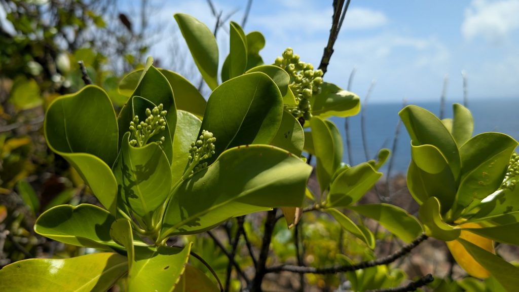
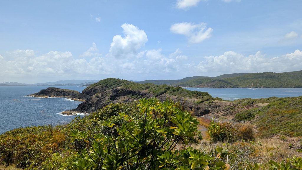
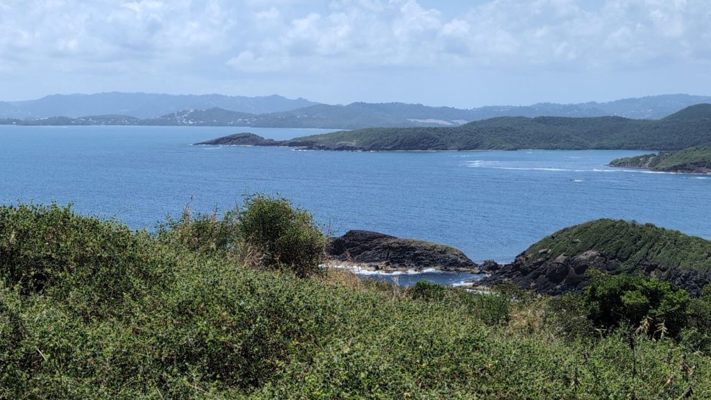
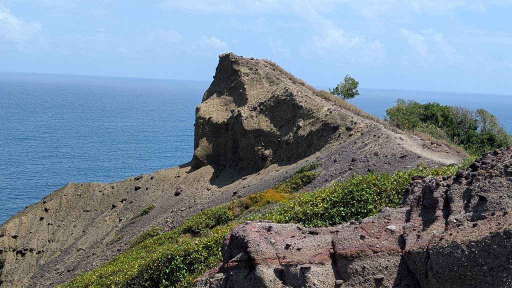
We stopped at this point to have a snack. Since the peninsula abuts open water, the trade winds provided a refreshing breeze as we ate. We were on a cliff now as well, so the view was lovely.
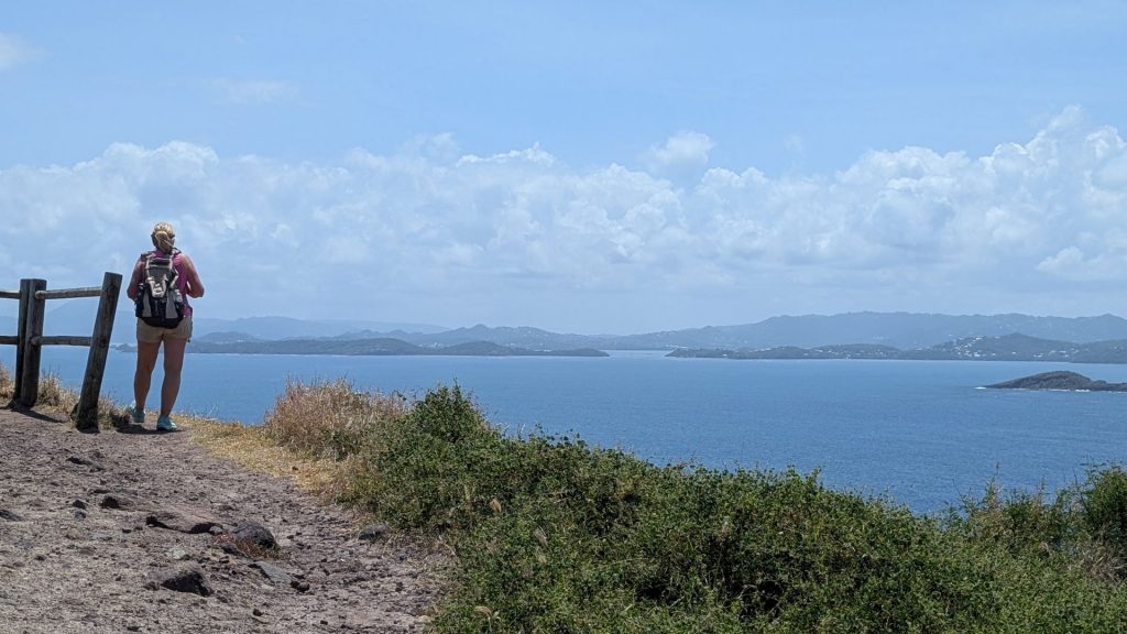
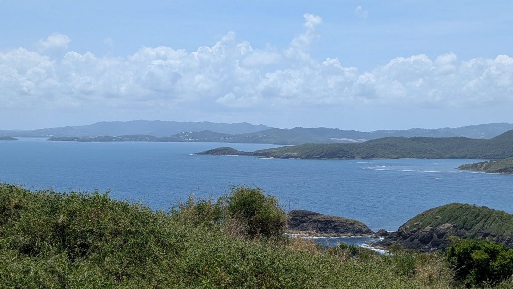
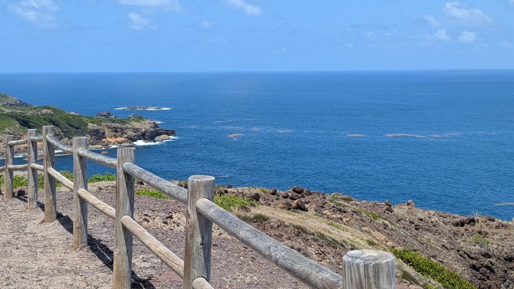
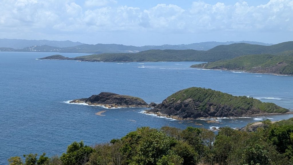
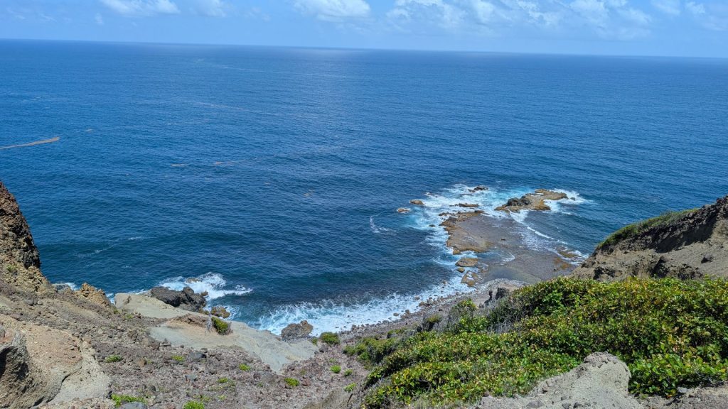
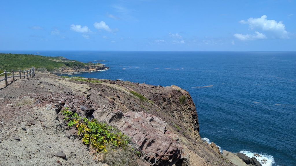
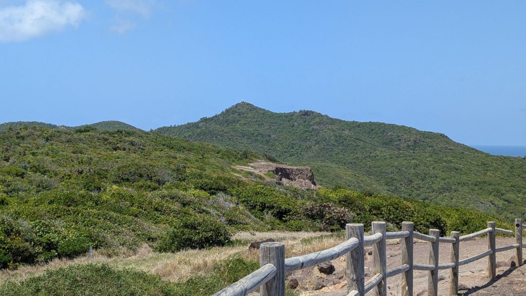
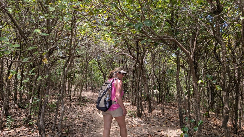
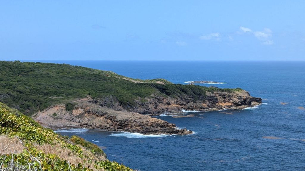
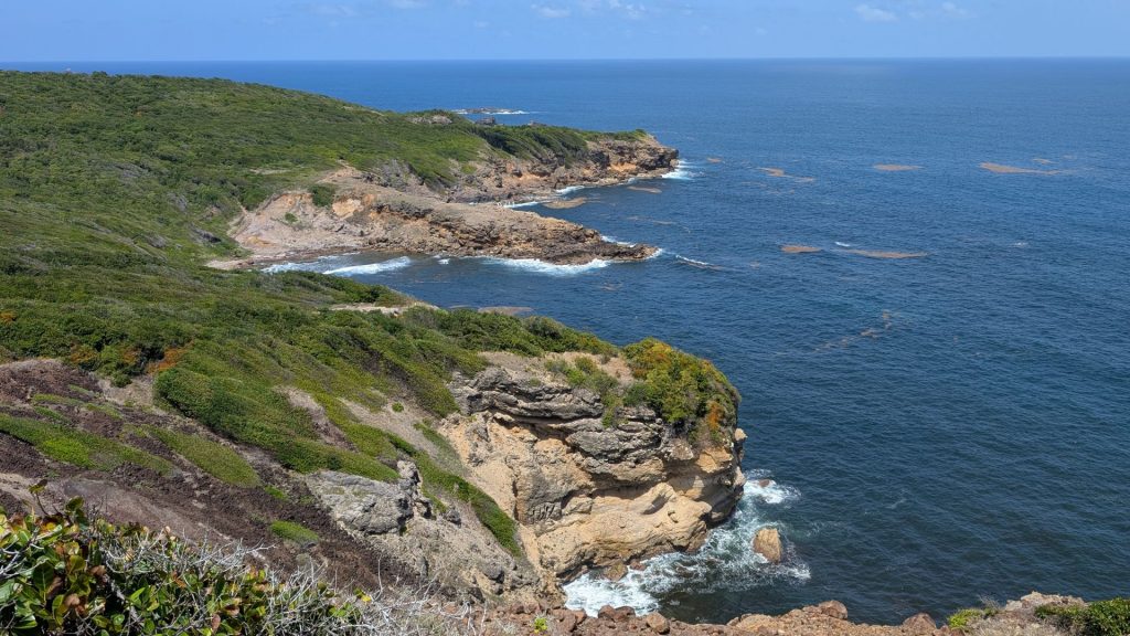
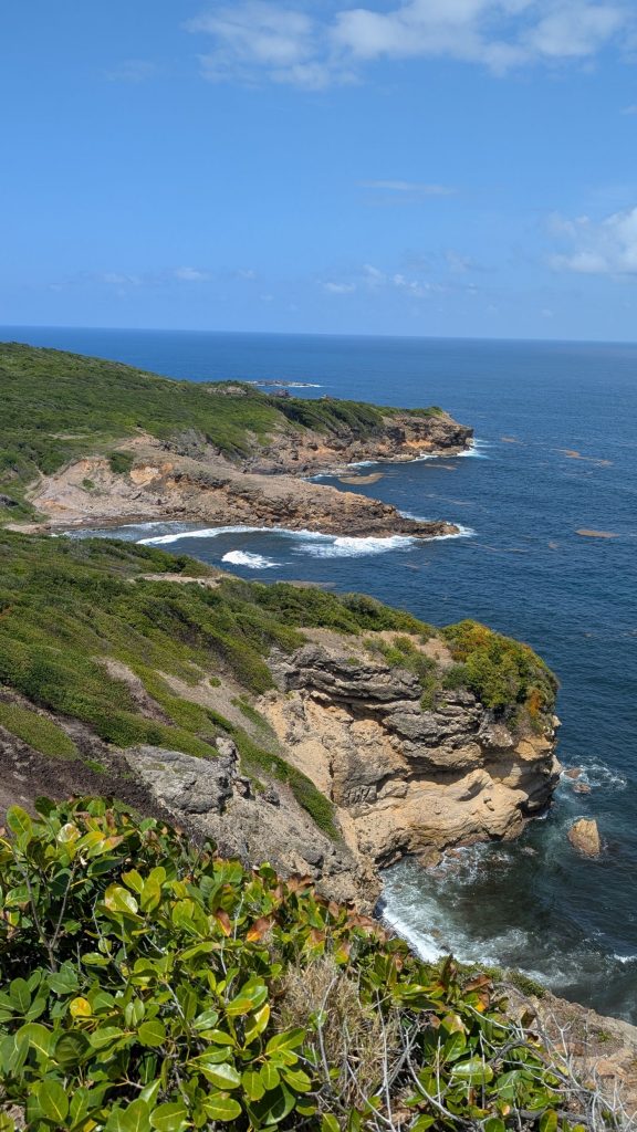
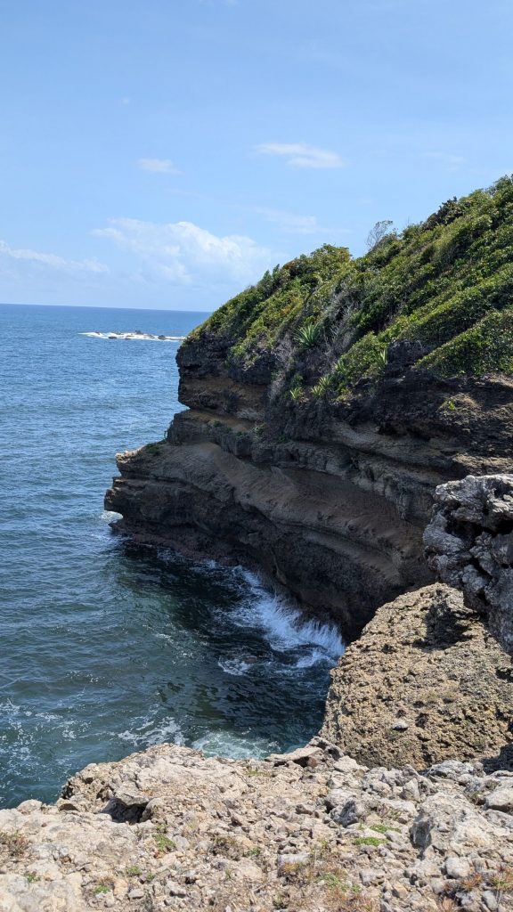
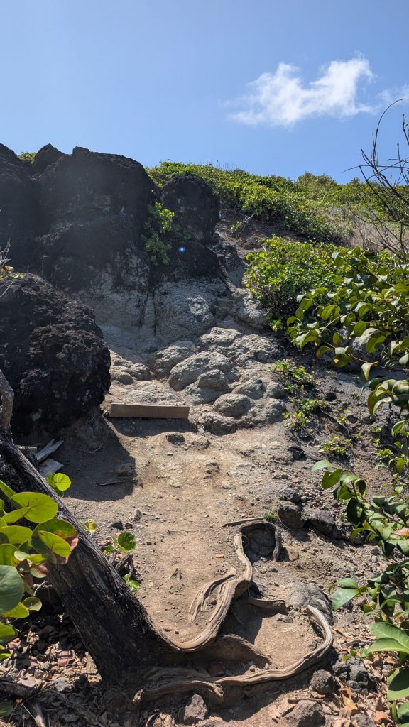
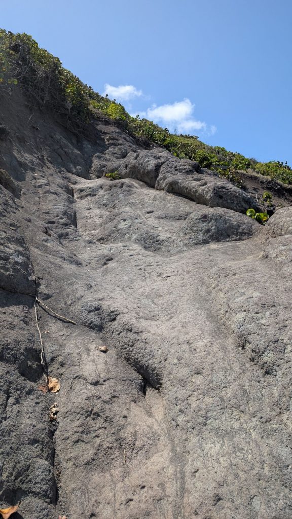
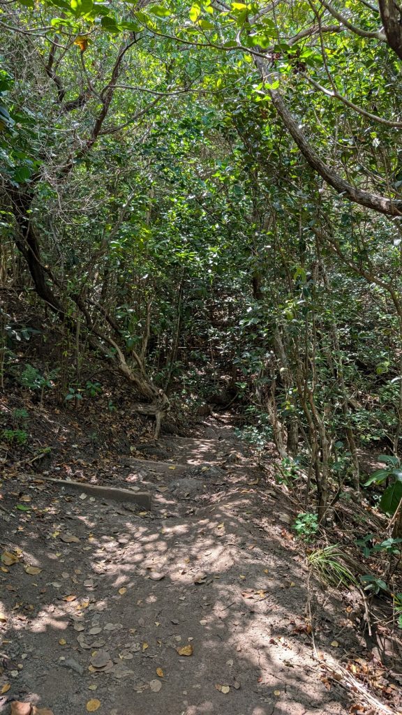
The trail on this side of the peninsula was really interesting. We had some steep climbs as well as a short walk on a boardwalk.
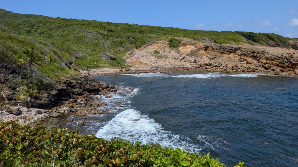
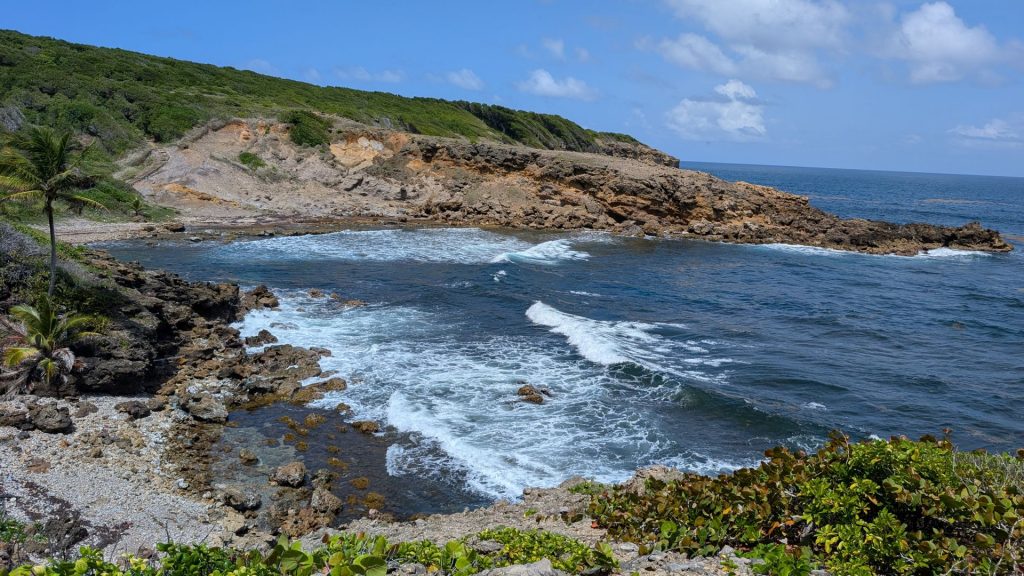
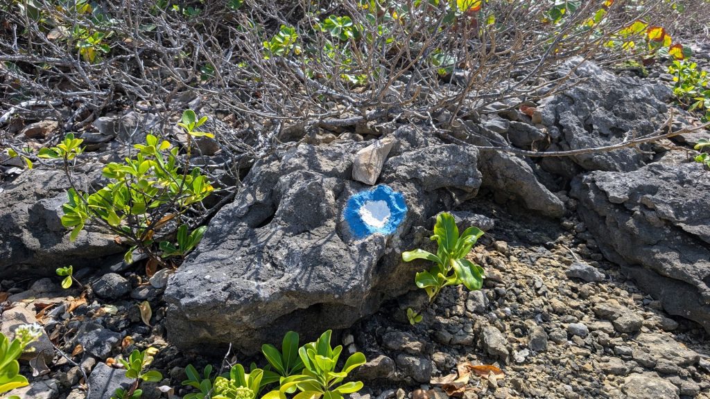
The trail was well marked by the blue circle with a white center (left hand picture below).
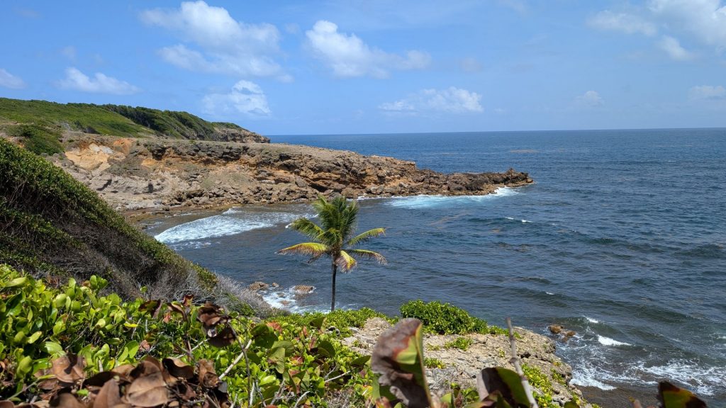
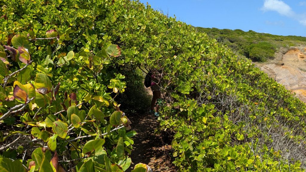
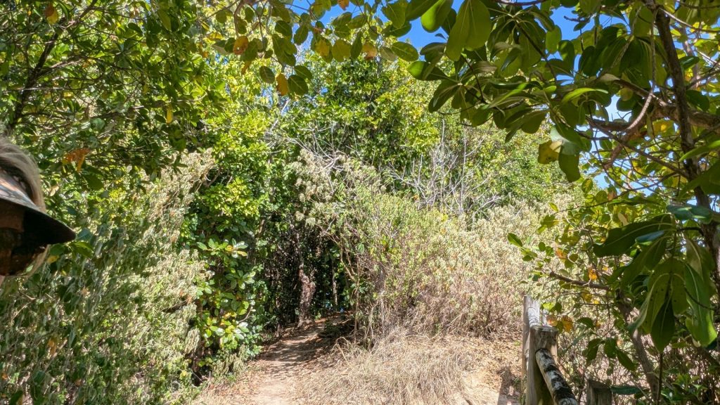
The bush/tree below pictured on the left hand side below provided a short little tunnel:
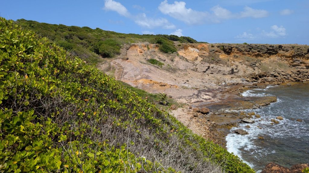
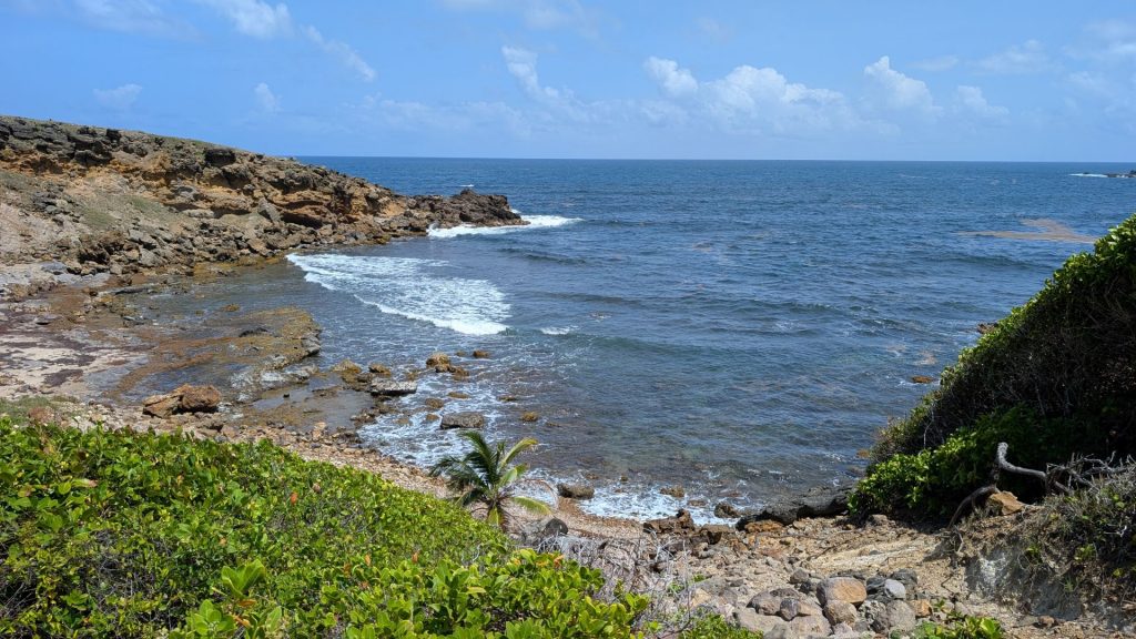
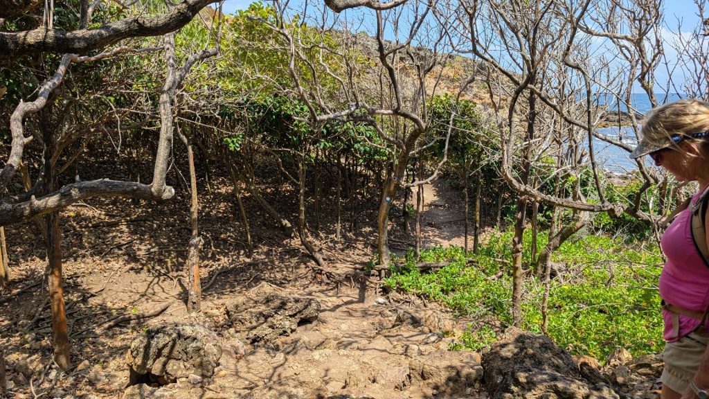
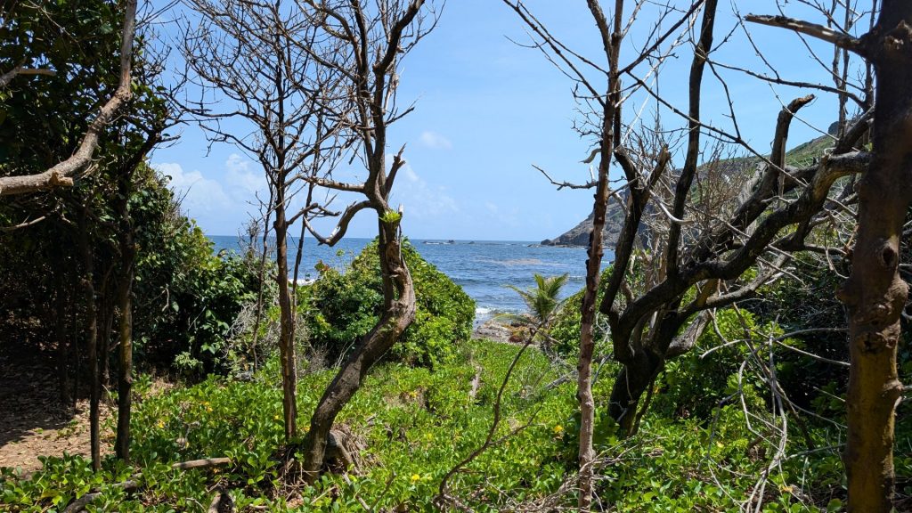
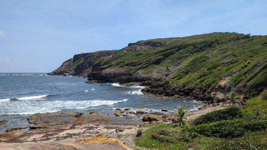
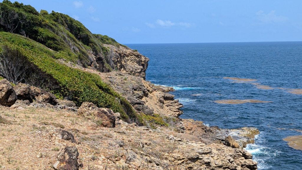
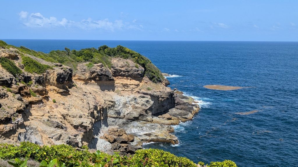
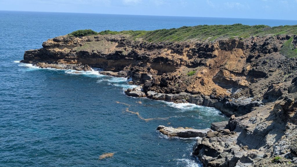
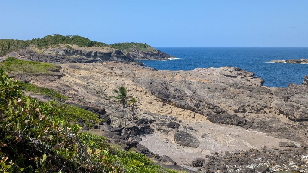
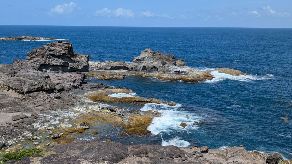
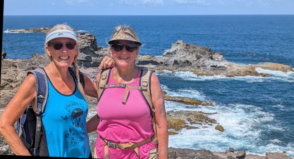
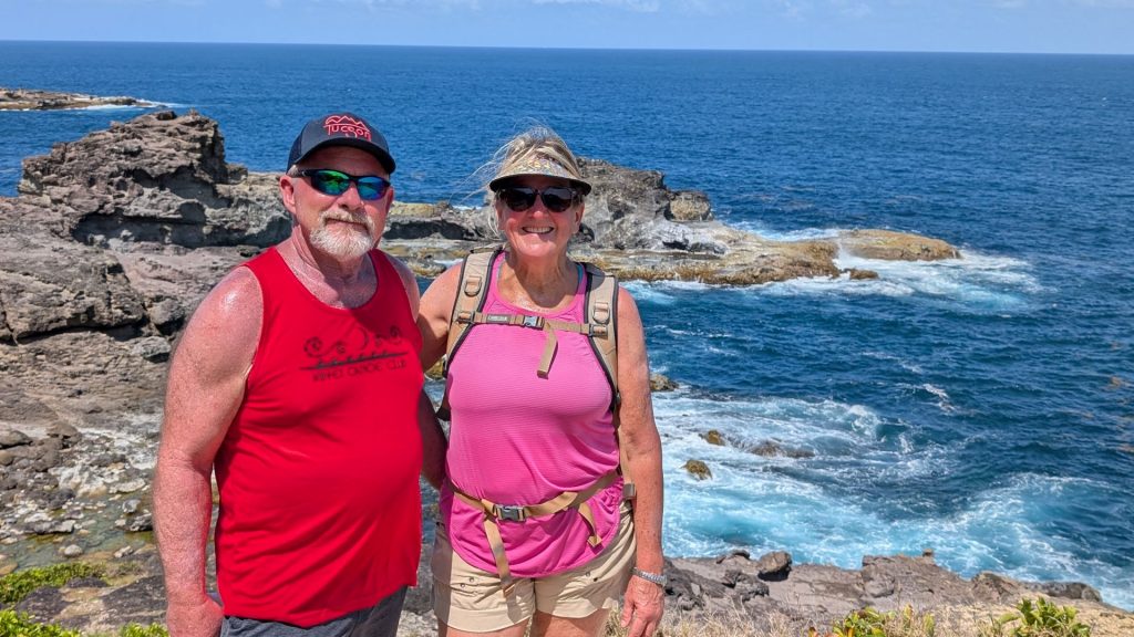
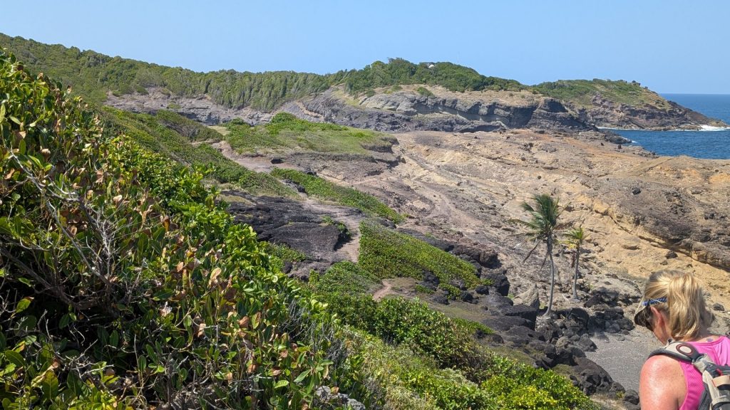
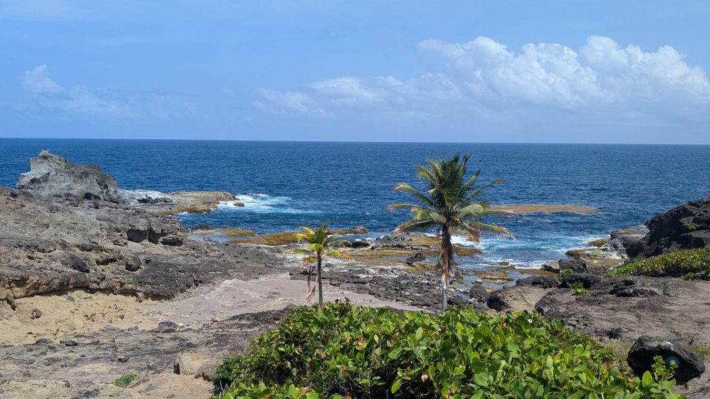
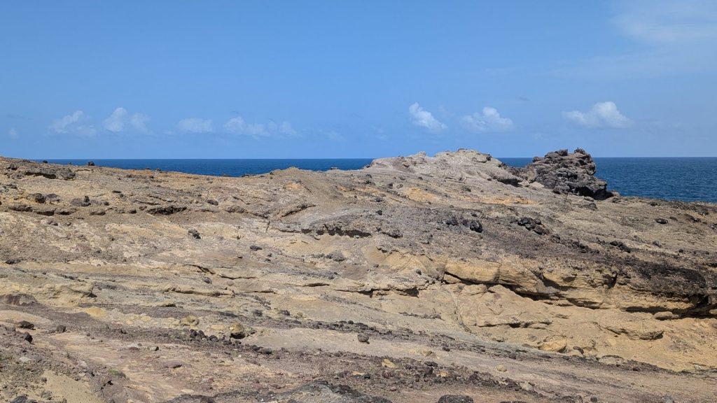
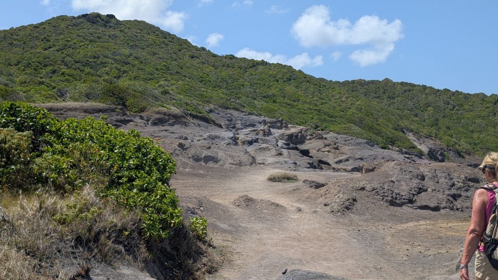
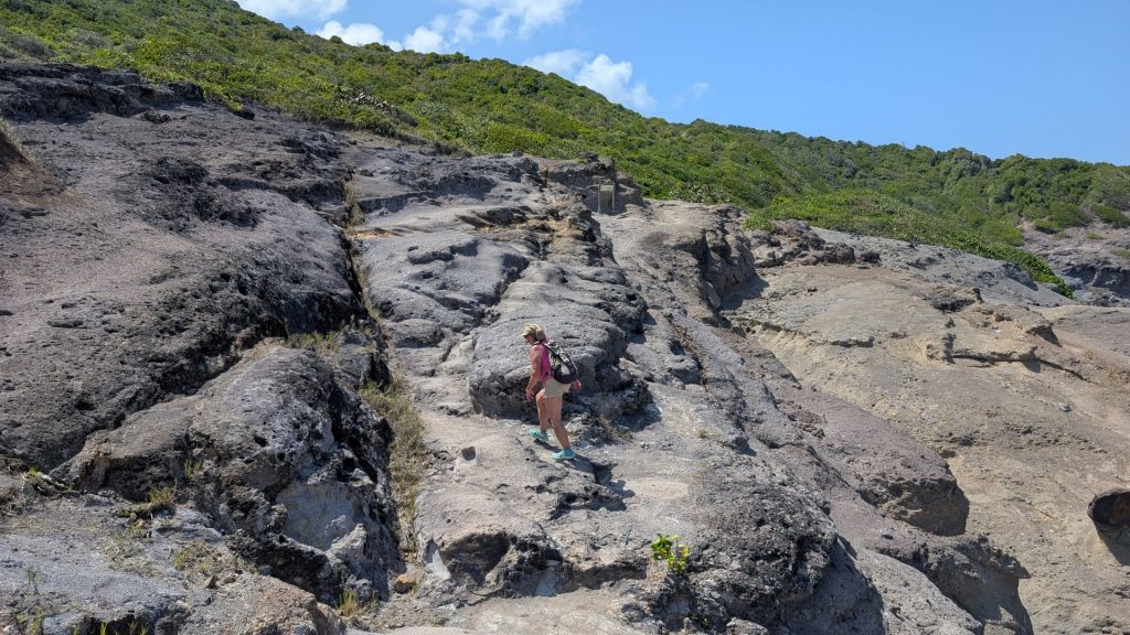
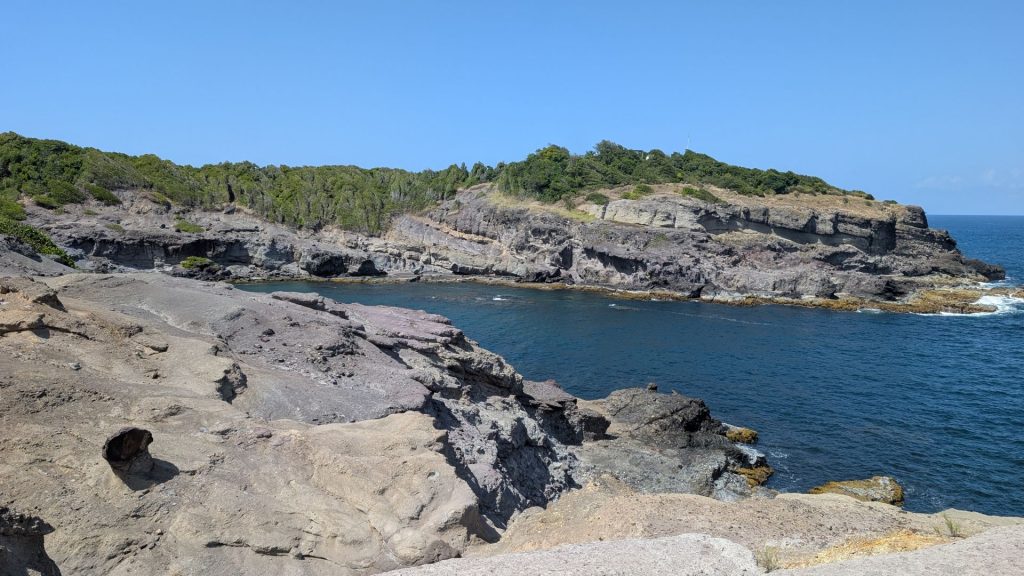
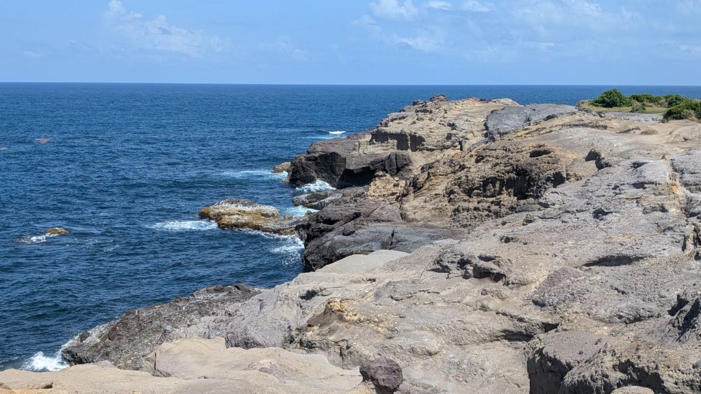
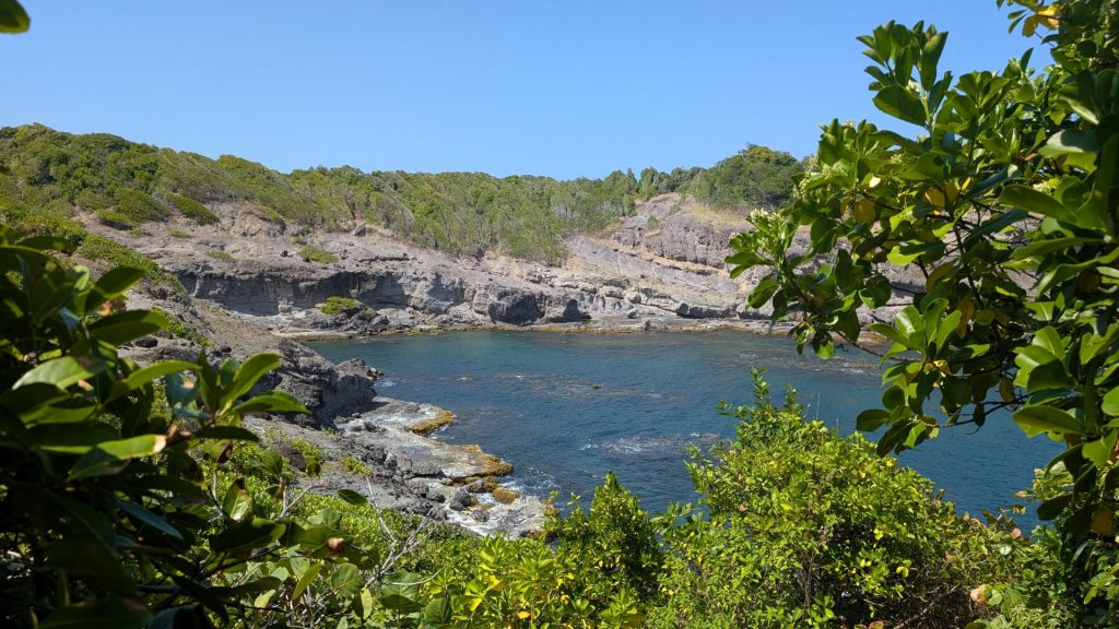
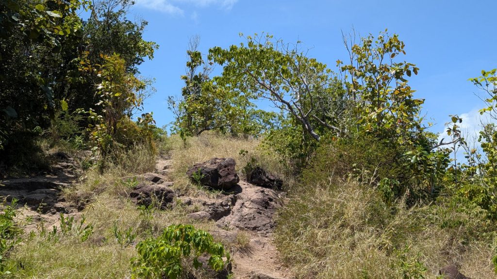
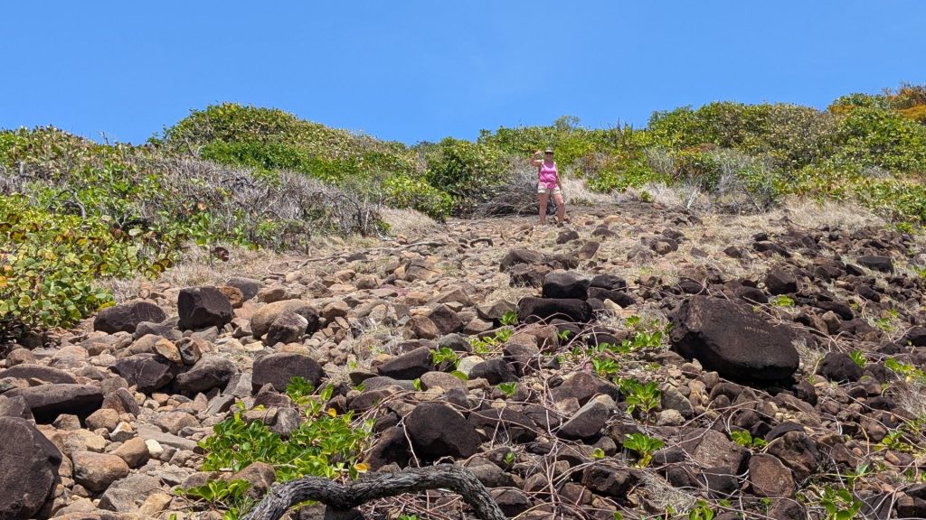
Some of the steep, rocky sections:
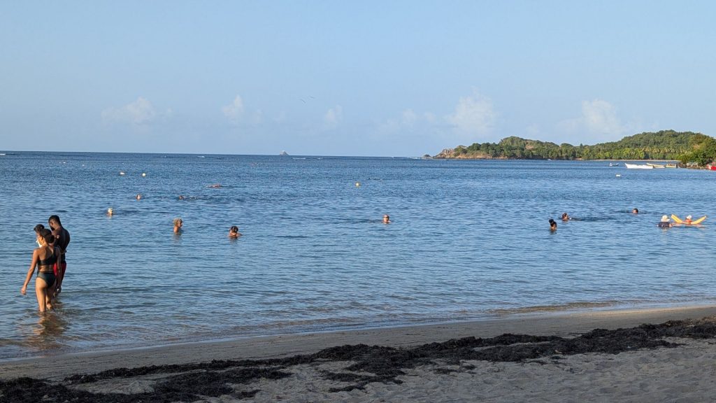
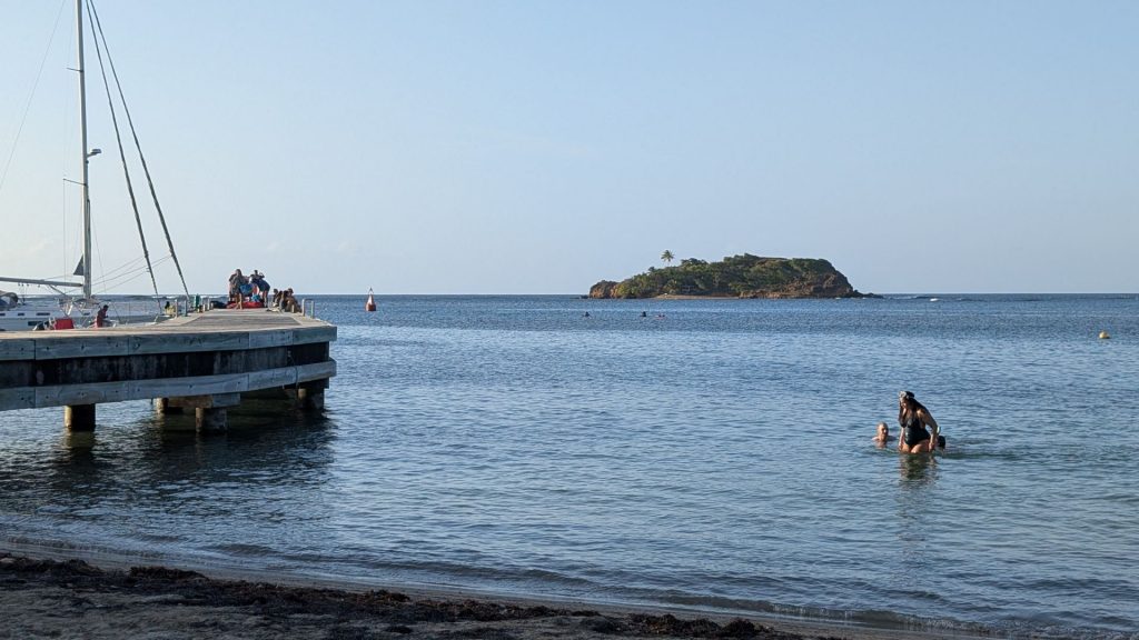
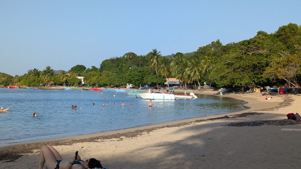
We were all uber hot and thirsty after the hike. We went to a nearby restaurant to have a beer, then hit this lovely beach. The water was warmer than we expected but it still cooled us down and felt wonderful!
That’s it for our first two+ days. More fun travels with Caroline and Jim in the next post!
