We returned to Seahike (from our Tenerife road trip) mid-afternoon on November 4th and left the next day for La Gomera, a neighboring island to the south. To get to La Gomera, we first had to take a bus to the southern end of Tenerife then catch a ferry to La Gomera. Unfortunately, the bus was late so we missed the ferry. We waited several hours (maybe five?) for the next ferry. It was fine, though. Island time!
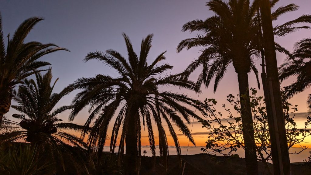
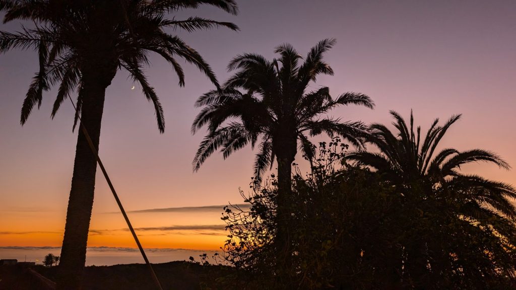
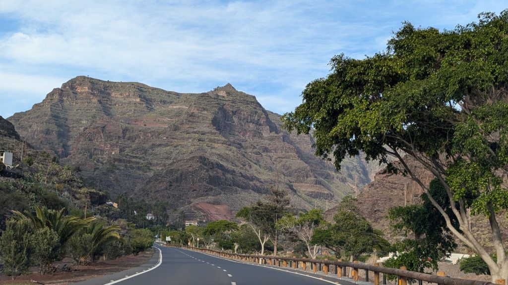
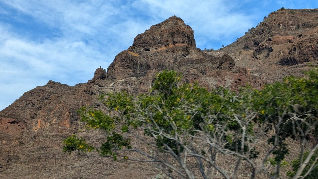
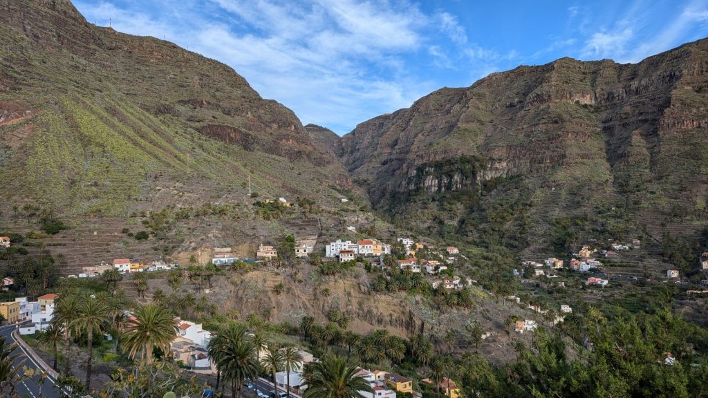
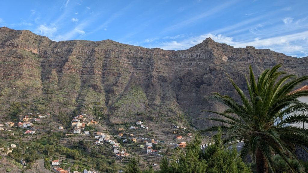
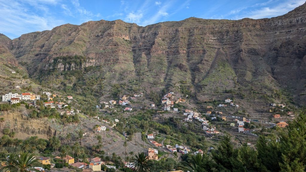
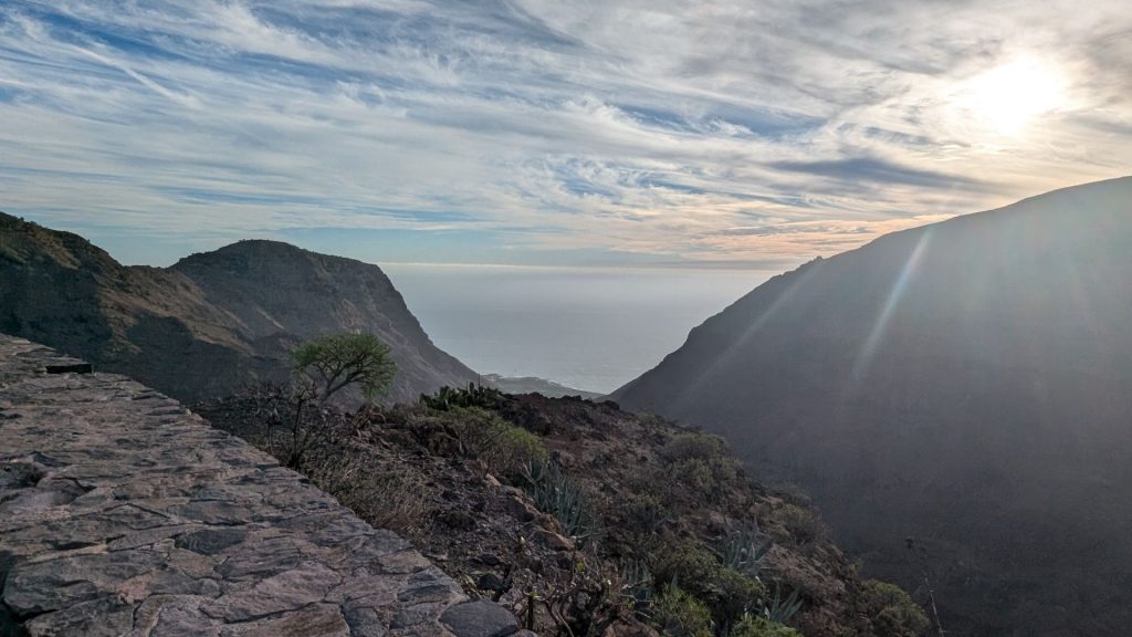
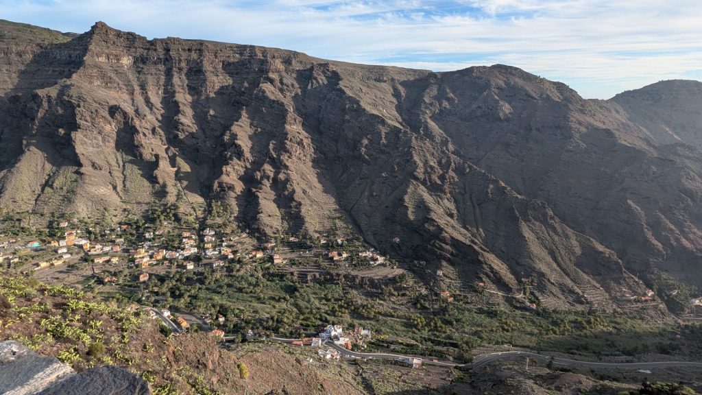
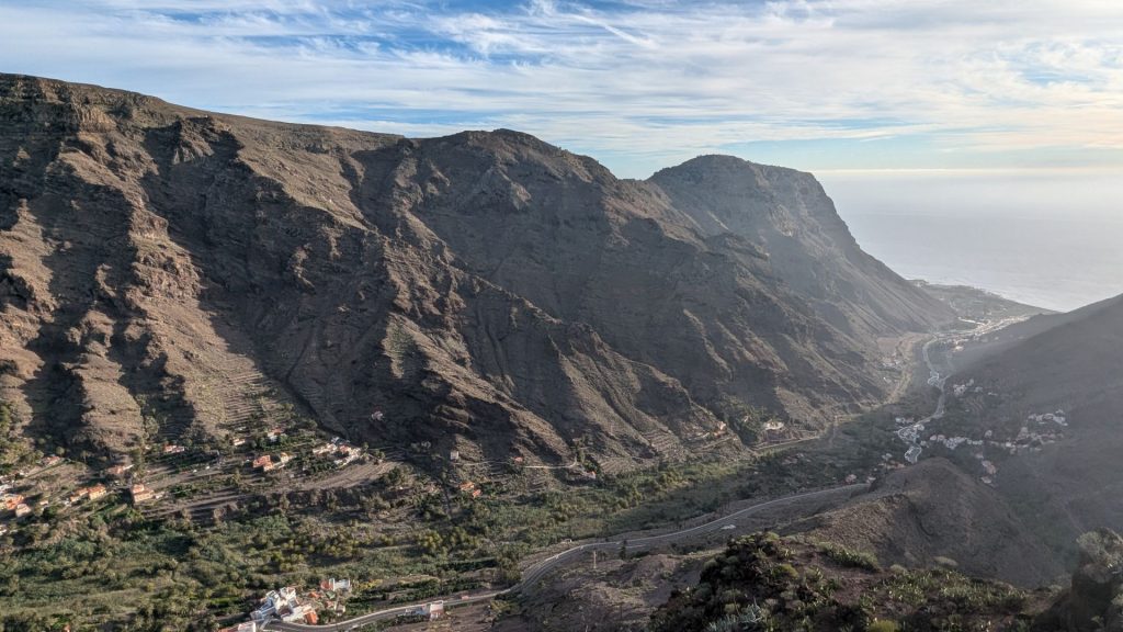
When we arrived in La Gomera, we rented a car, drove to the hotel, and went out to eat. As per usual, there was beautiful scenery on La Gomera.
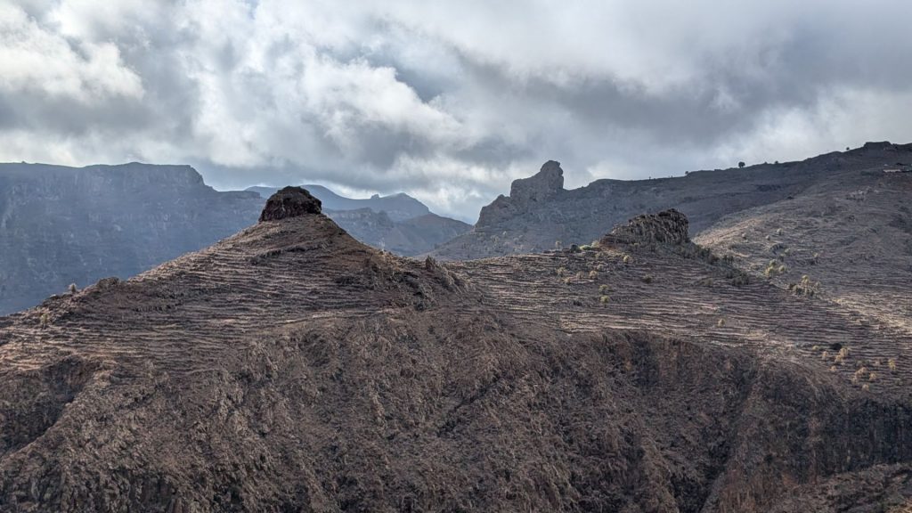
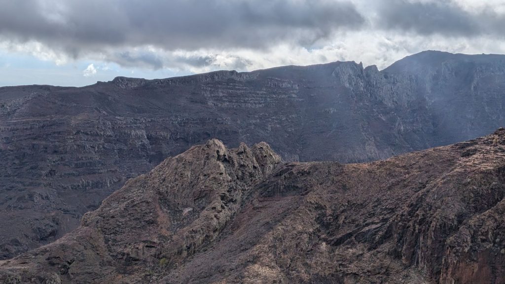
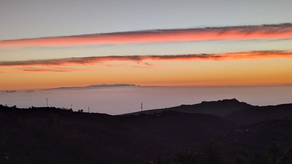
November 6:
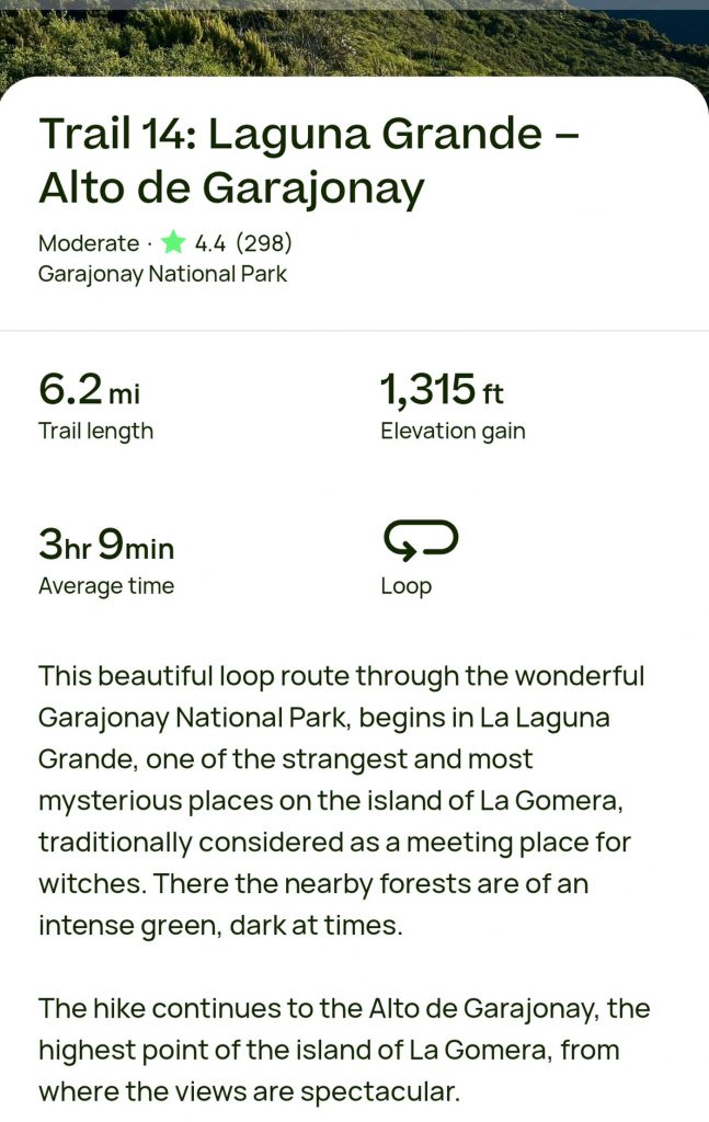
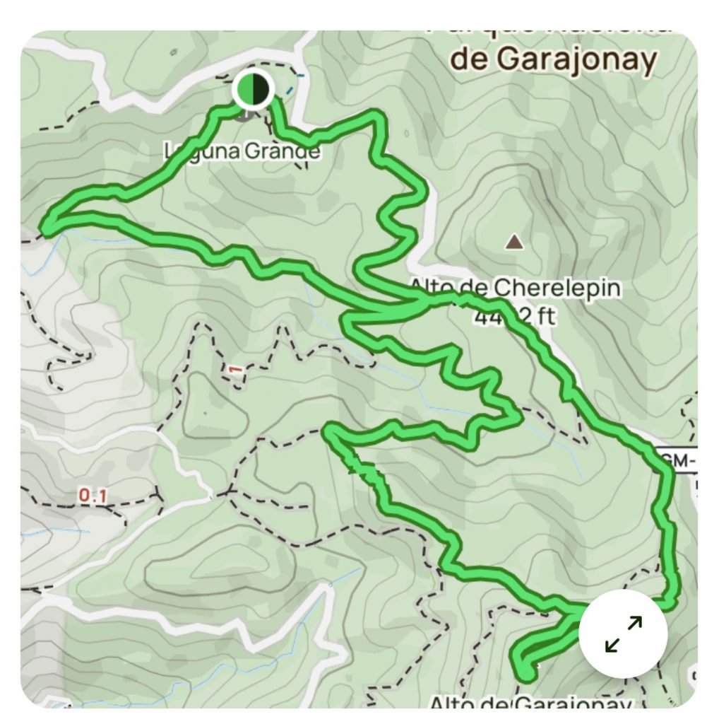
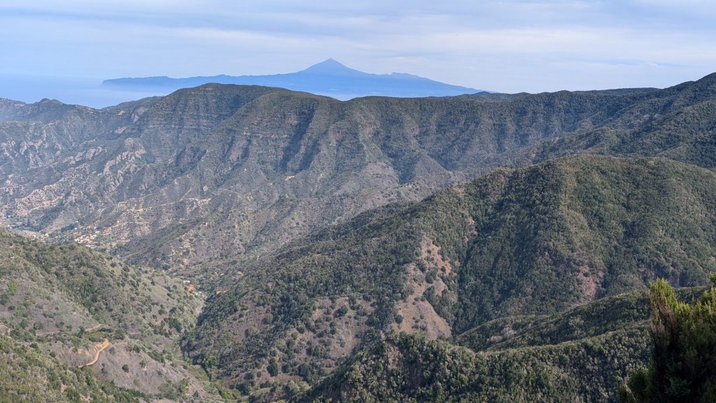
My day began with an enjoyable hike. There was a point at the end where I was walking on a road, which wasn’t too cool, but I enjoyed the hike overall. There are some excellent viewpoints as well as varied terrain. You can clearly see Mount Tiede in Tenerife in the distance.
Here’s the scoop (I should note that I didn’t meet with any witches):
Map:
Now that you’ve read the description, here are the pictures! I know that some are similar, but I like all of them. Bear with me. After all, you can scroll through quickly!
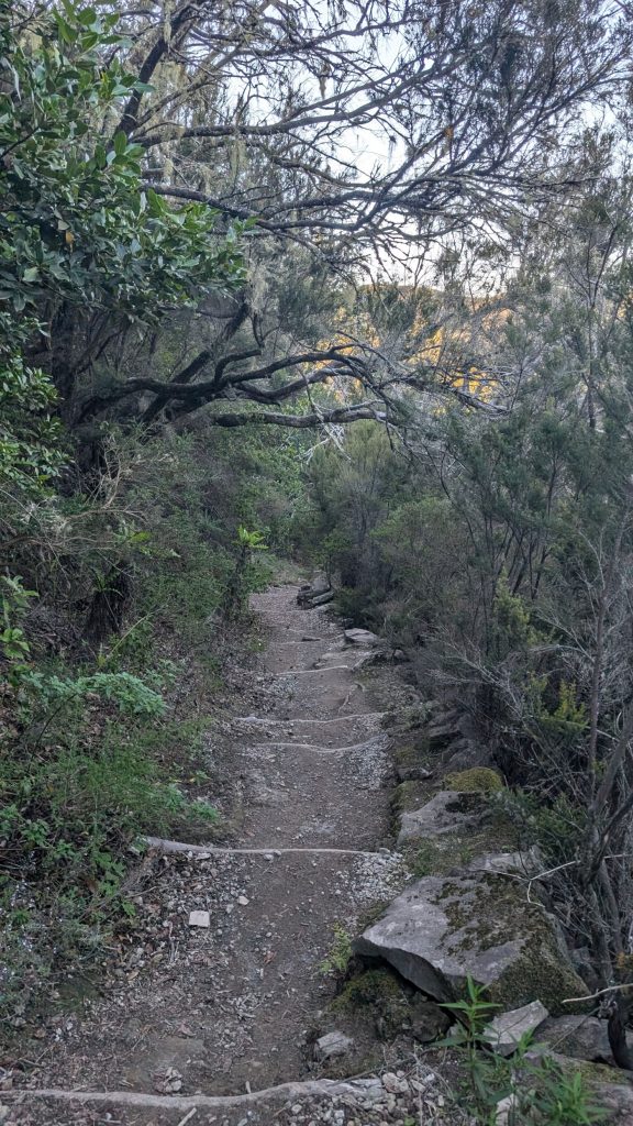
Every time you see a tall peak, you are looking at Mount Teide.
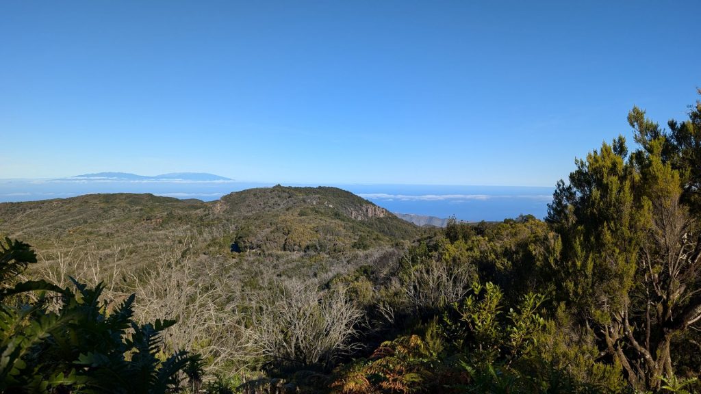
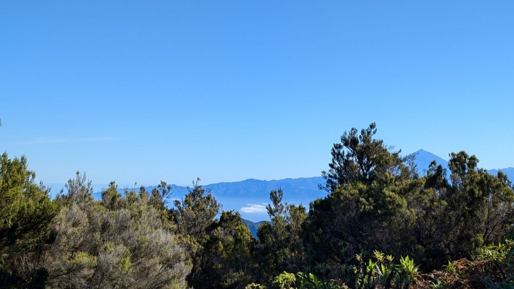
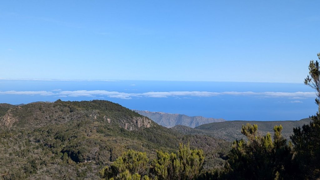
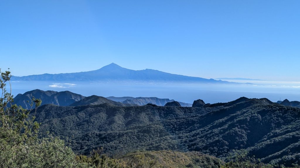
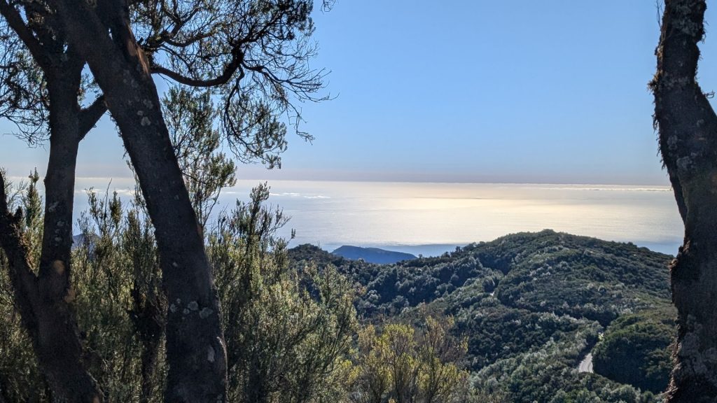
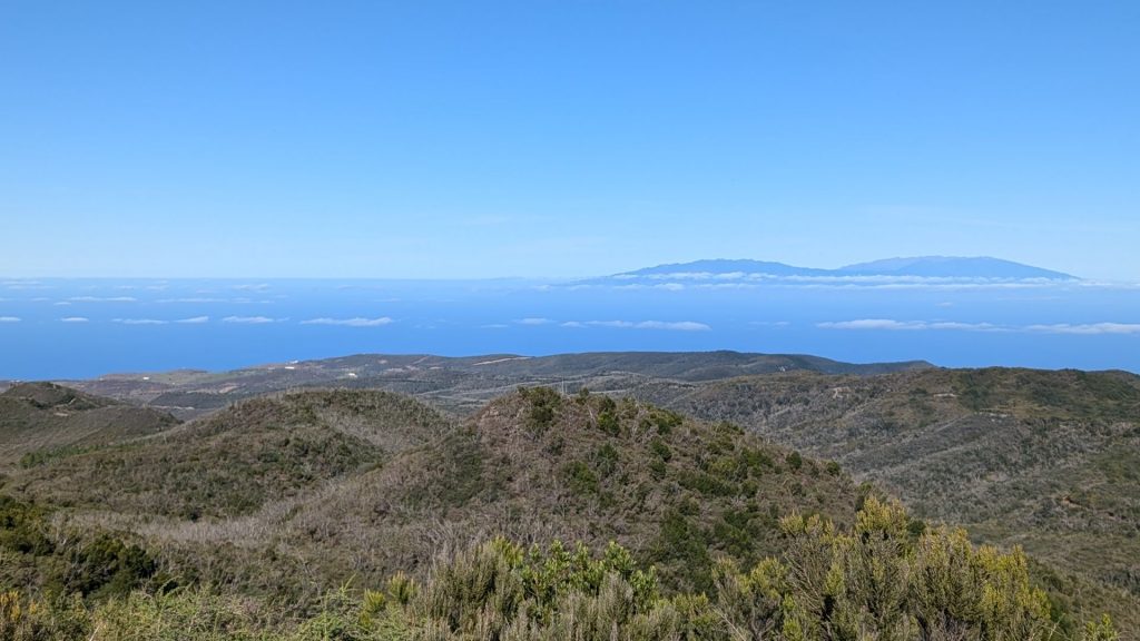
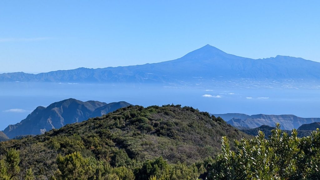
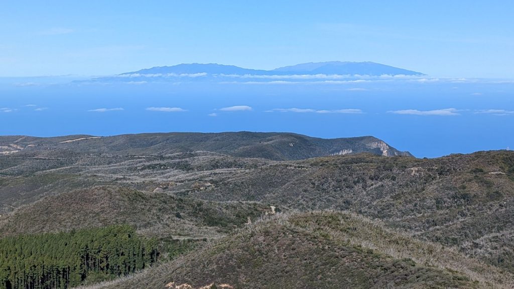
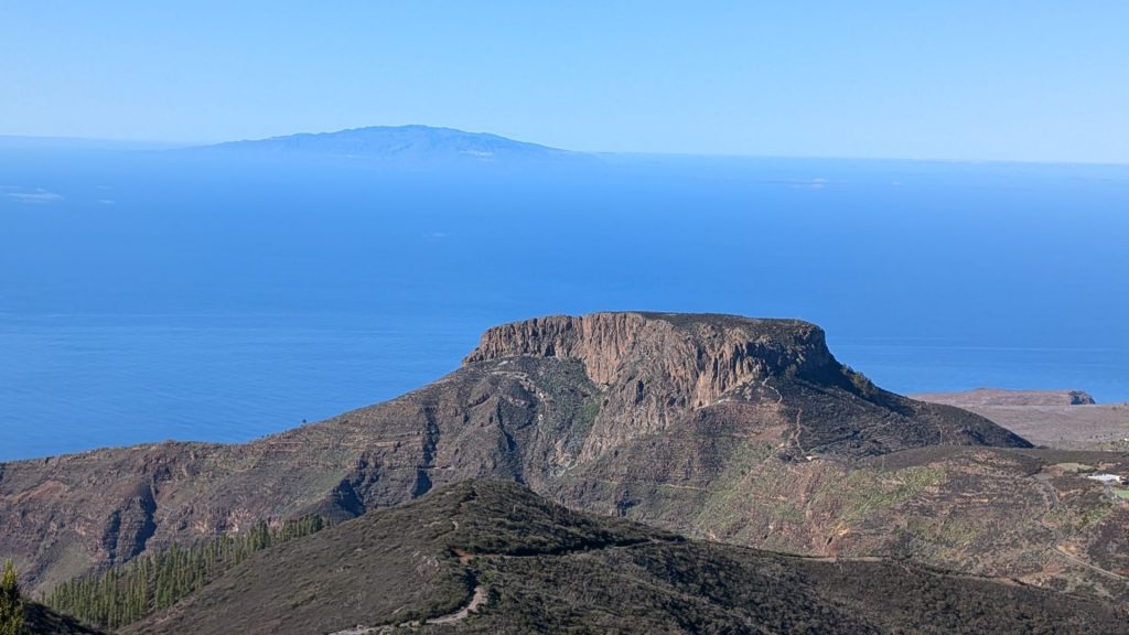
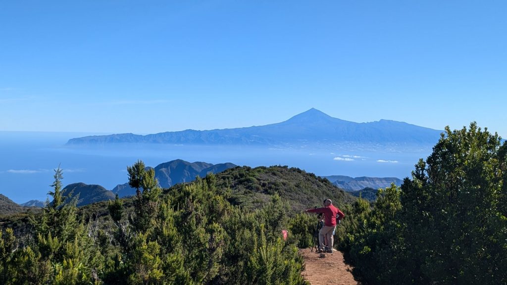
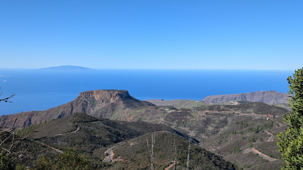
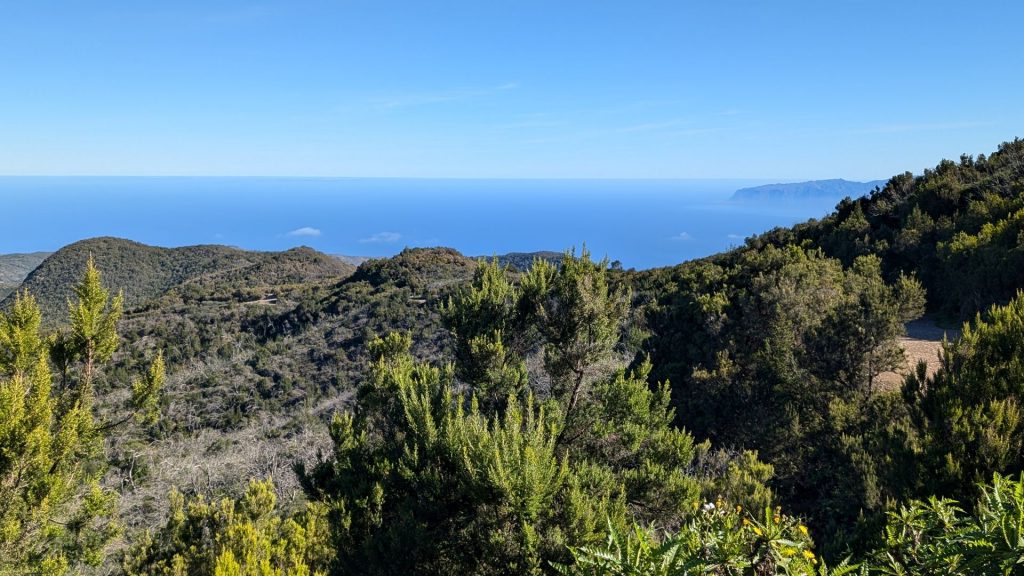
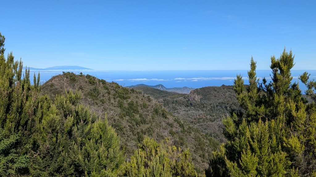
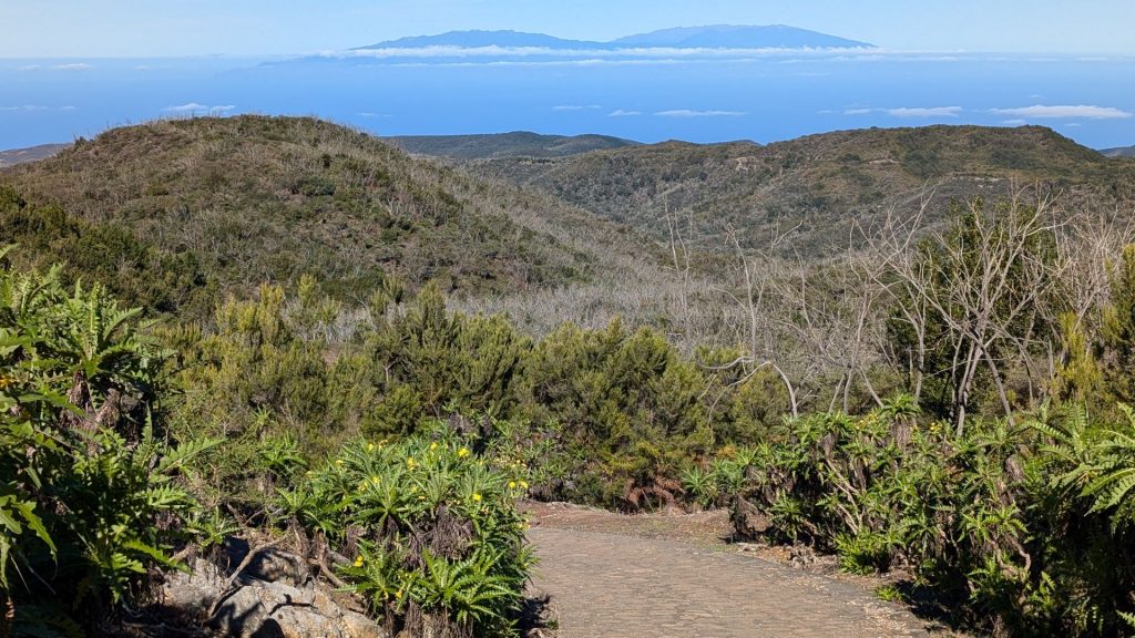
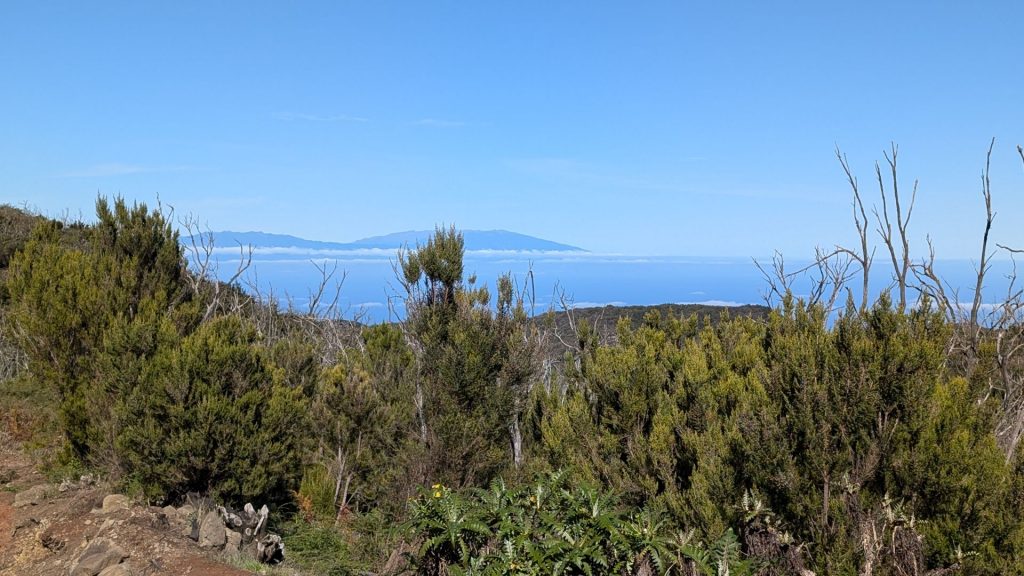
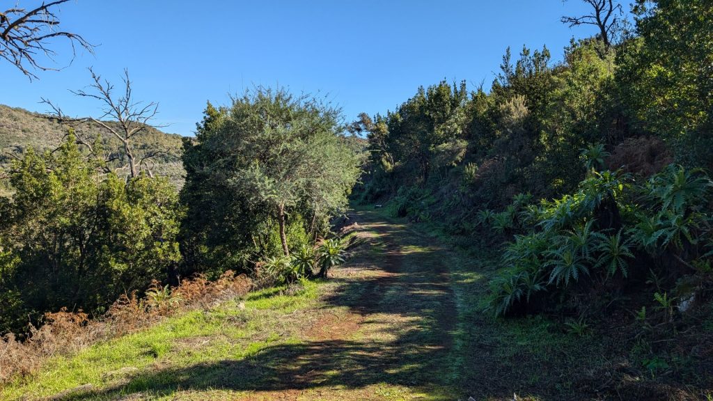
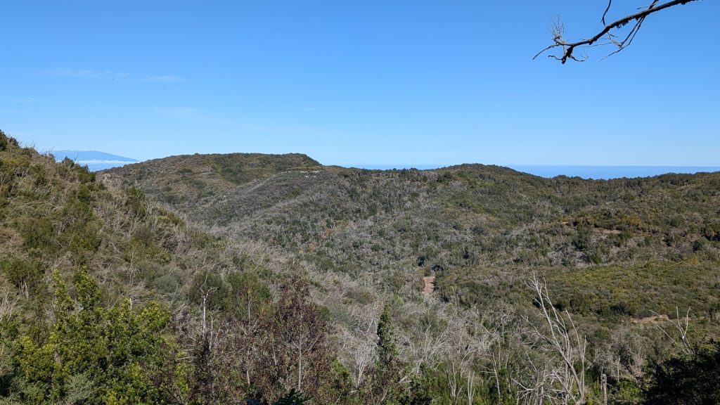
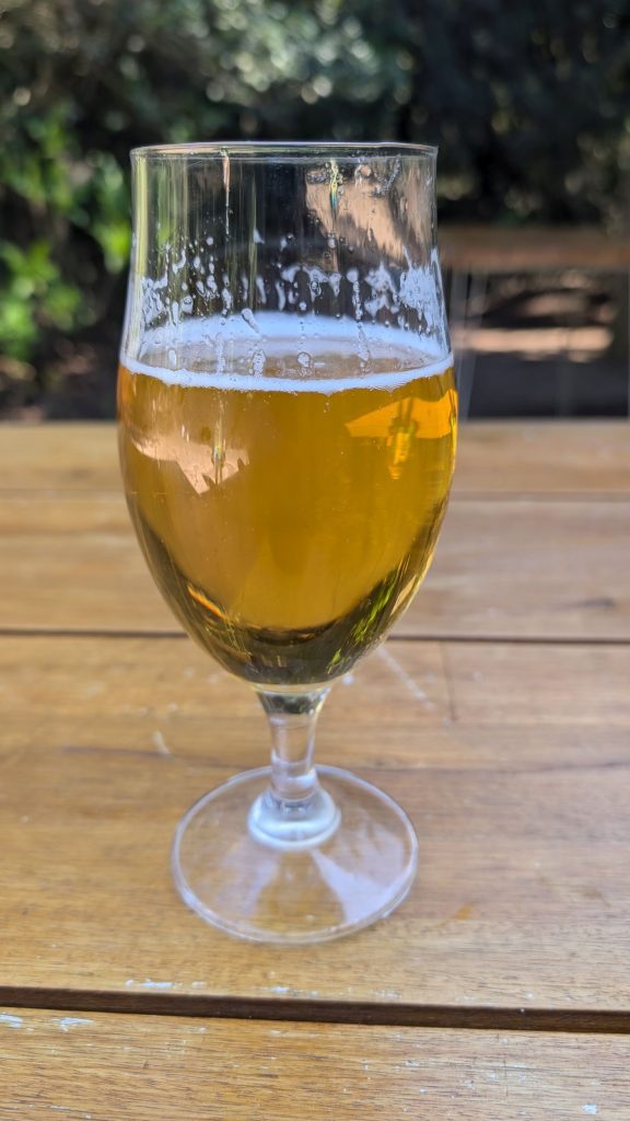
I ended my hike with a cold beer!
We went to a recommended “family beach” later that day: Playa del Inglés. Um, it was a nudist beach. . . I had to be careful with the pictures I took to keep them G-rated.
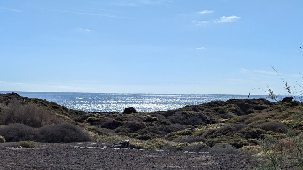
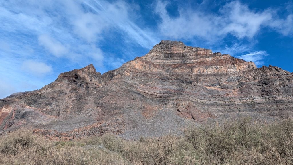
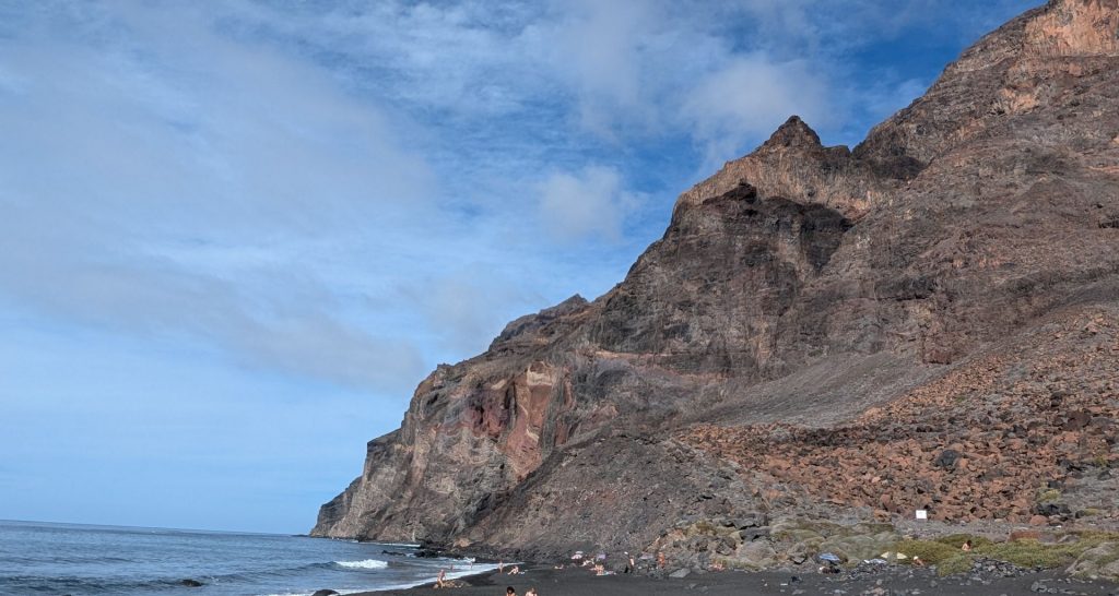
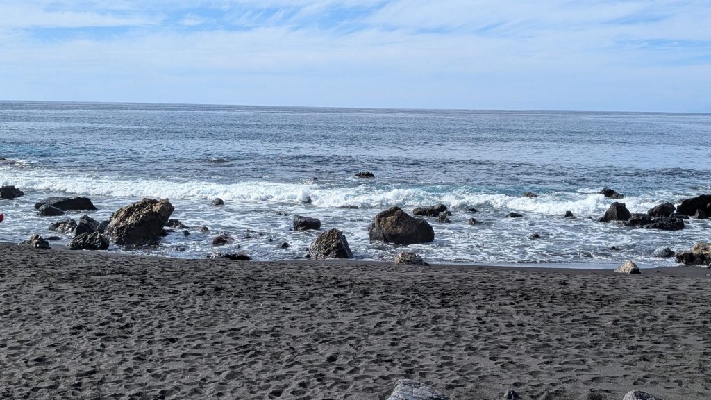
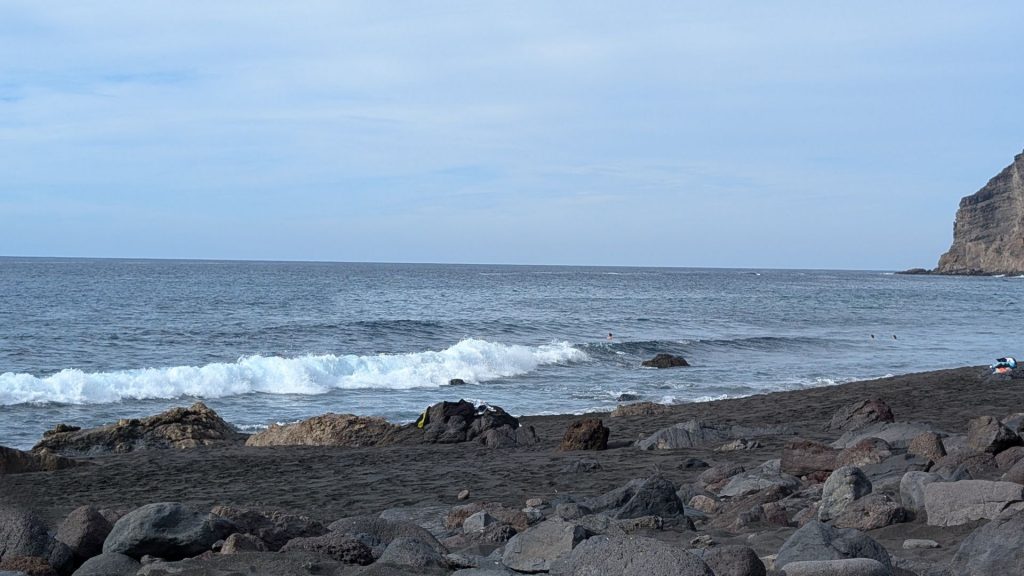
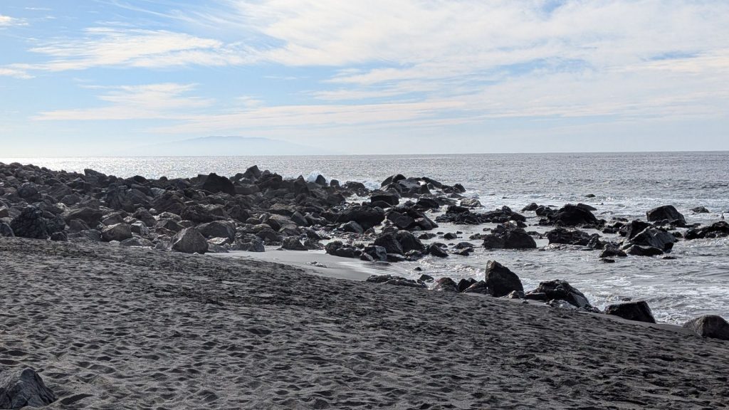
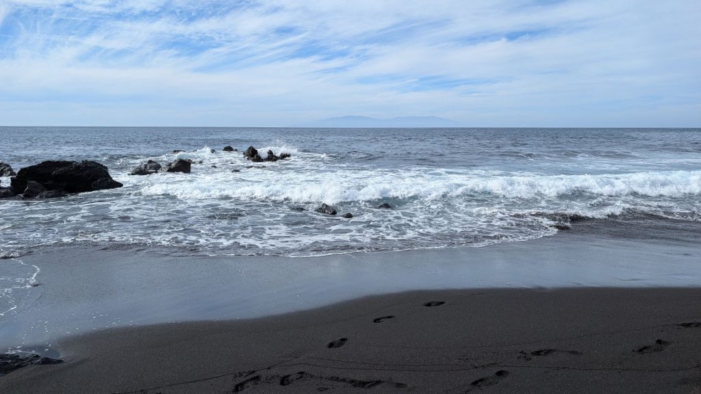
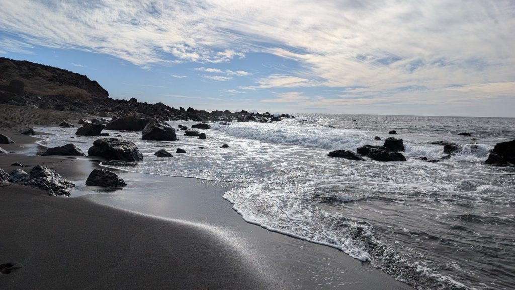
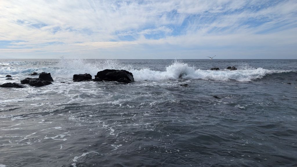
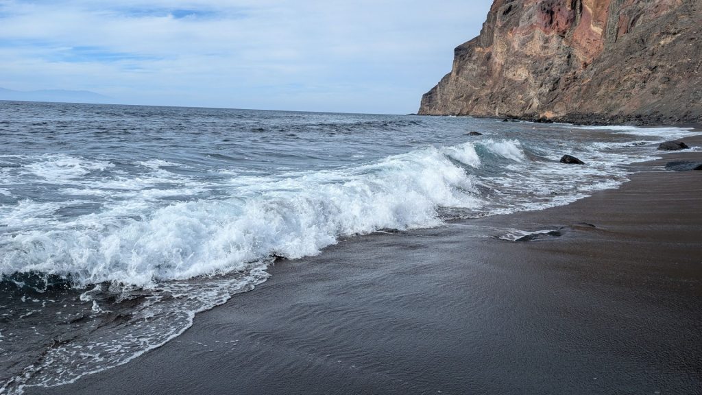
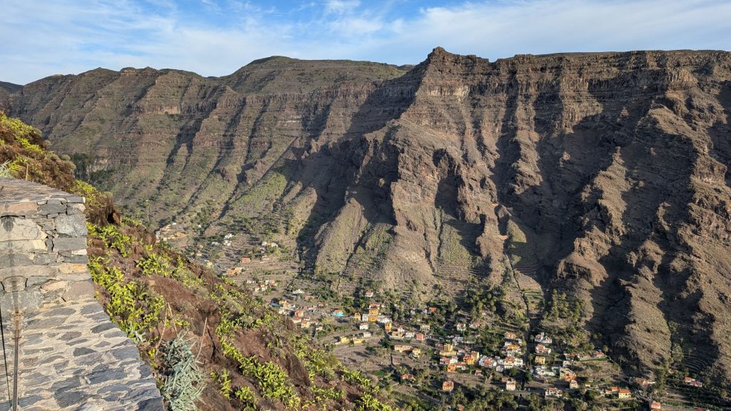
I think we took these pictures on the way to the hotel.
November 7:
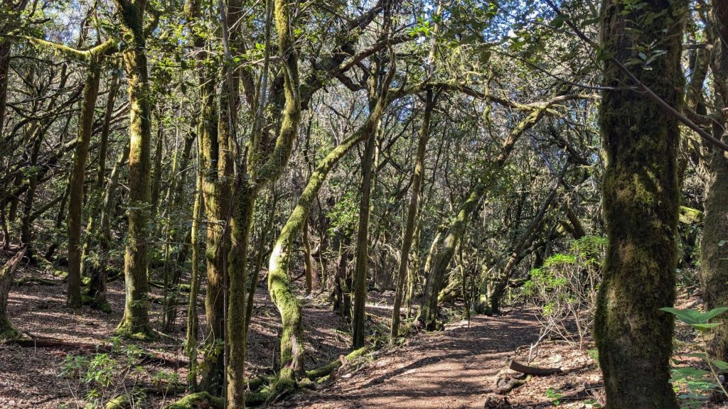
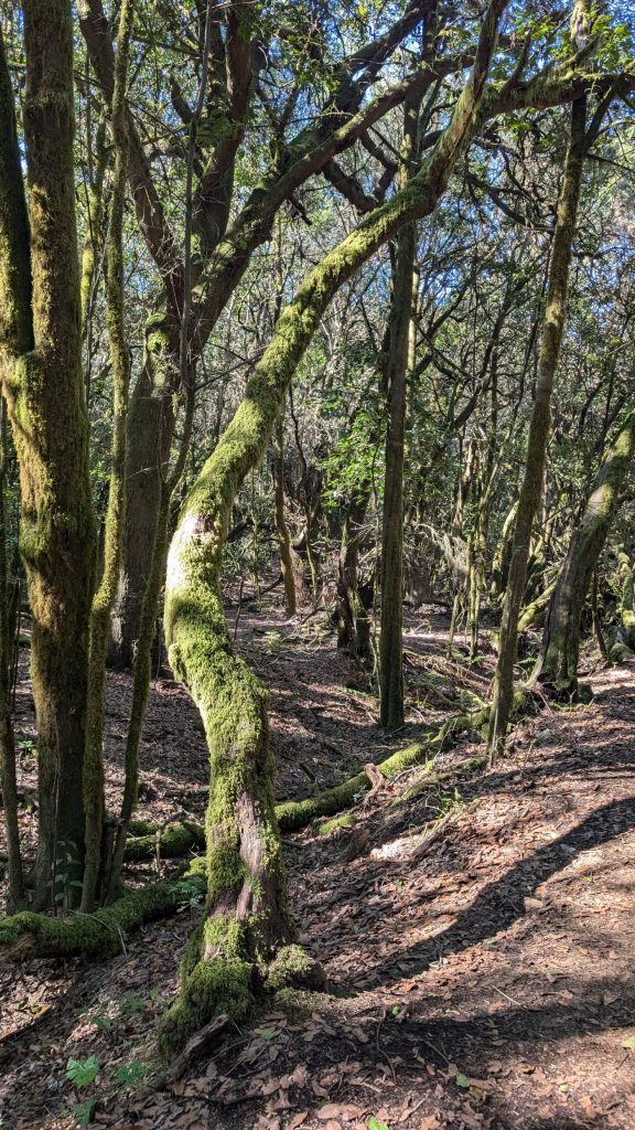
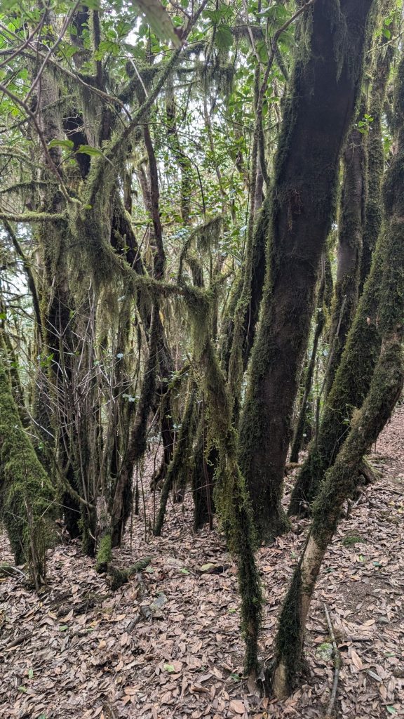
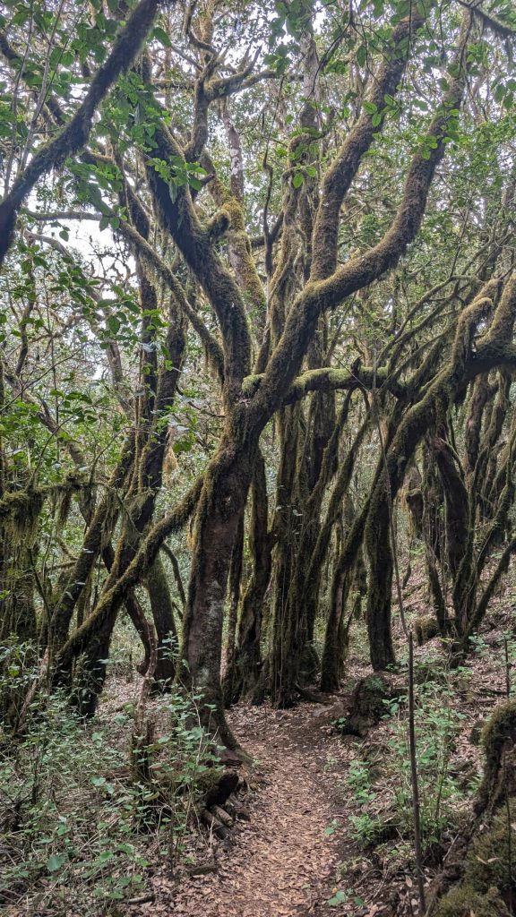
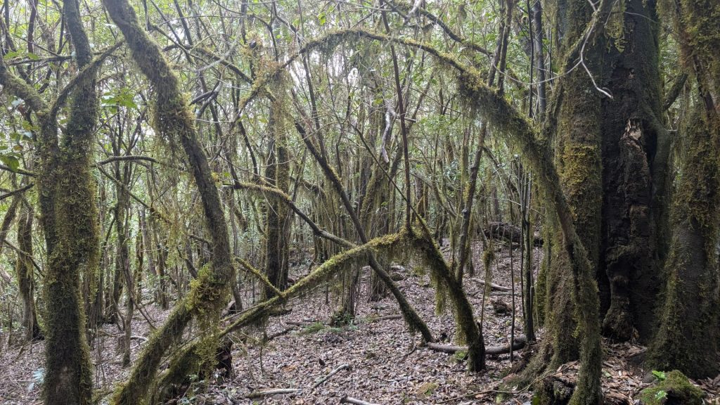
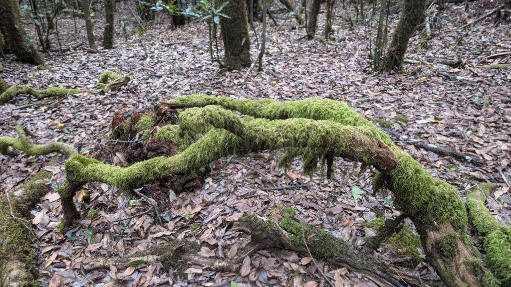
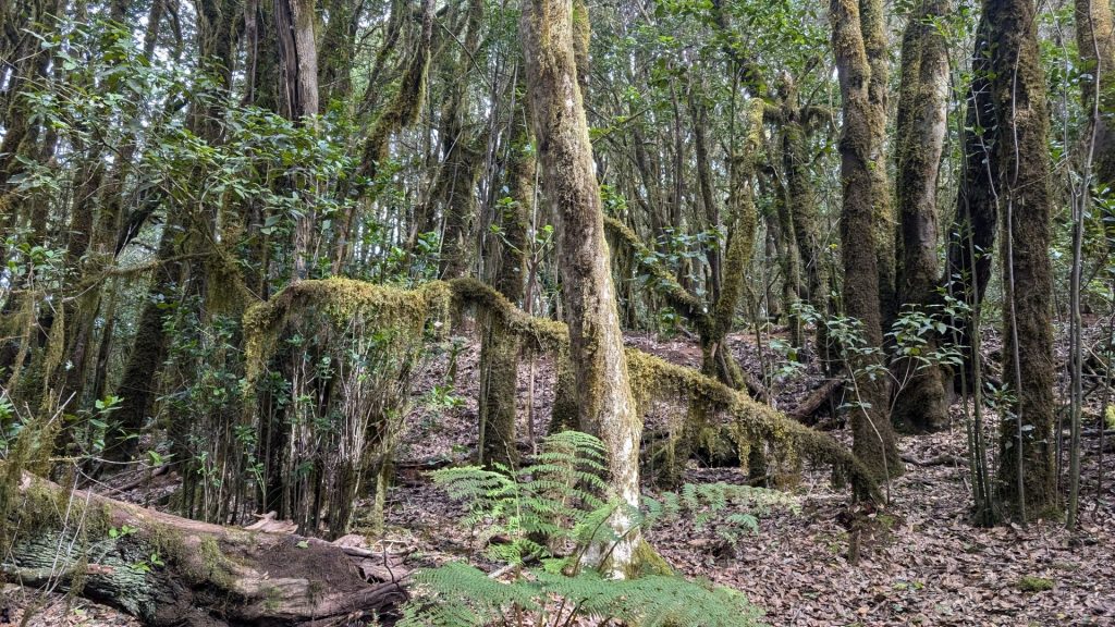
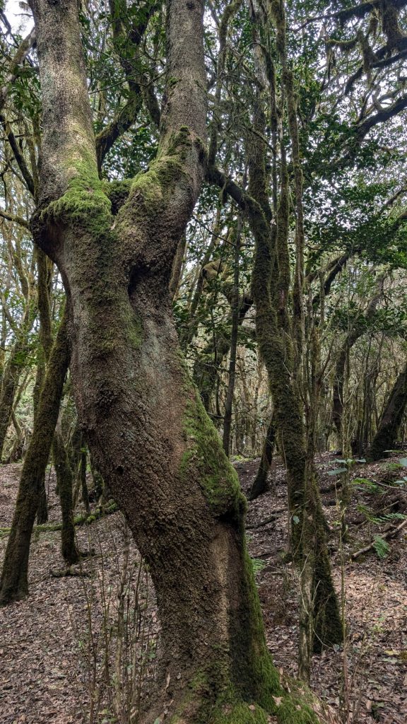
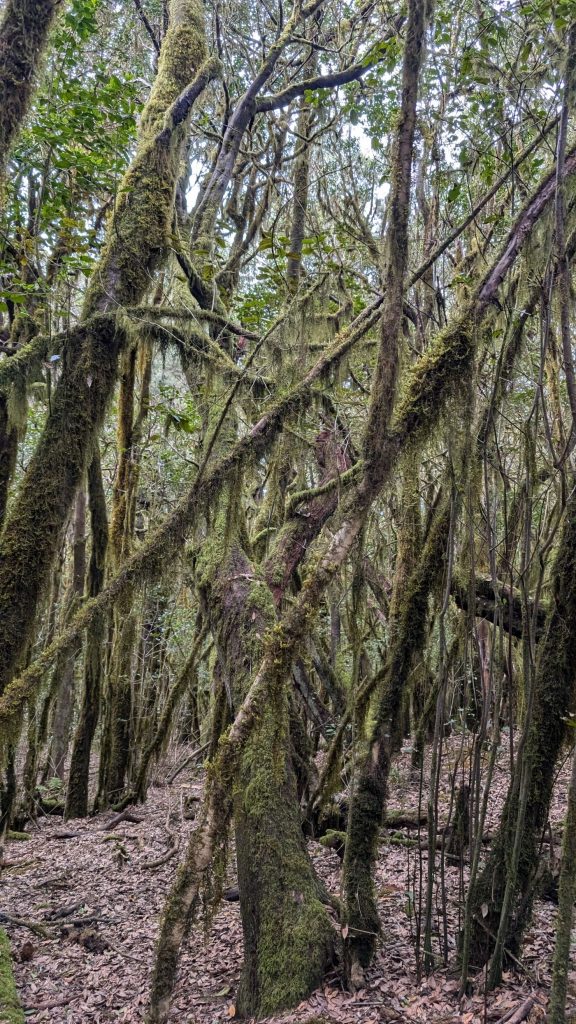
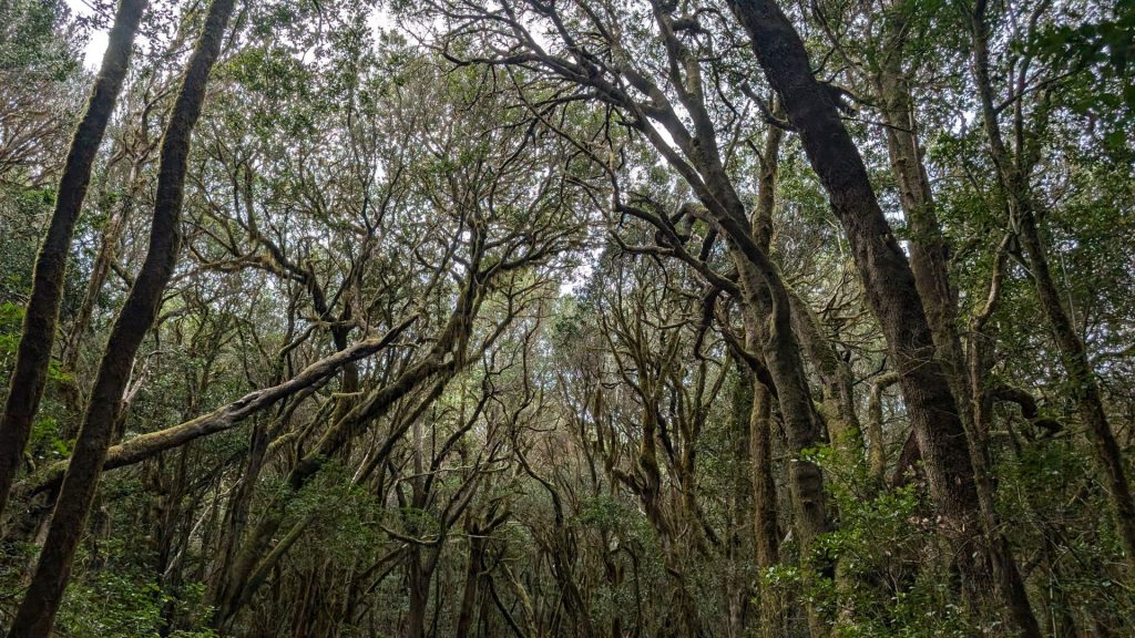
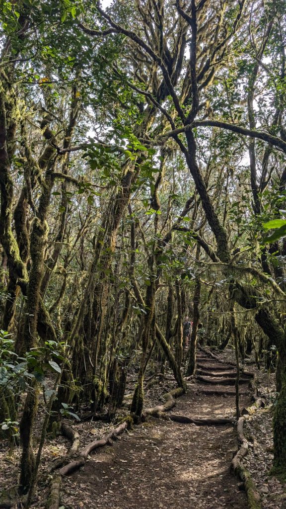
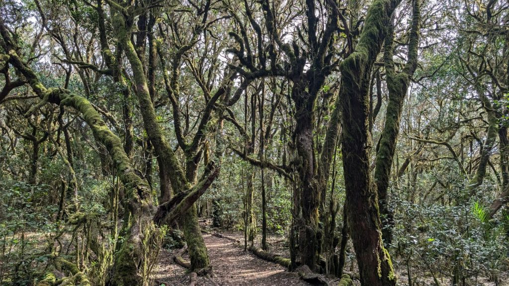
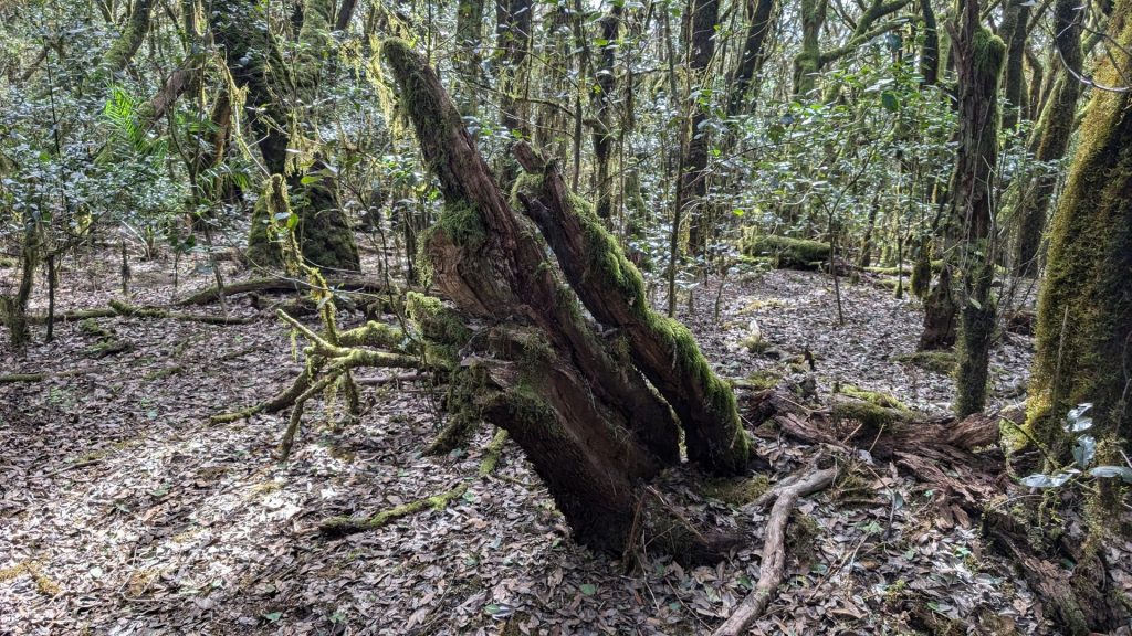
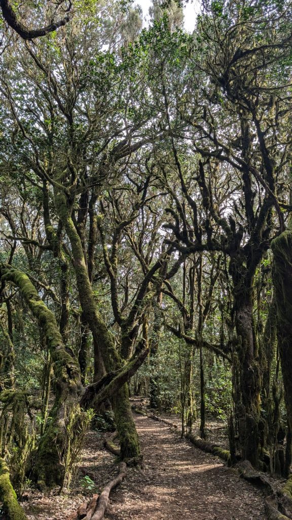
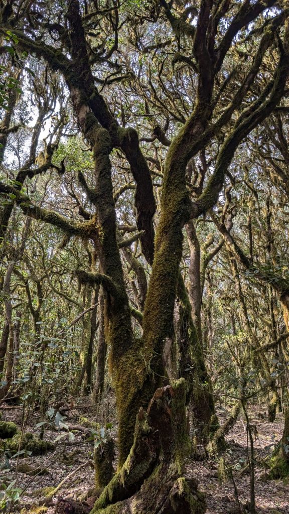
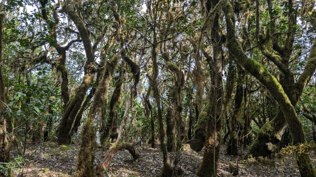
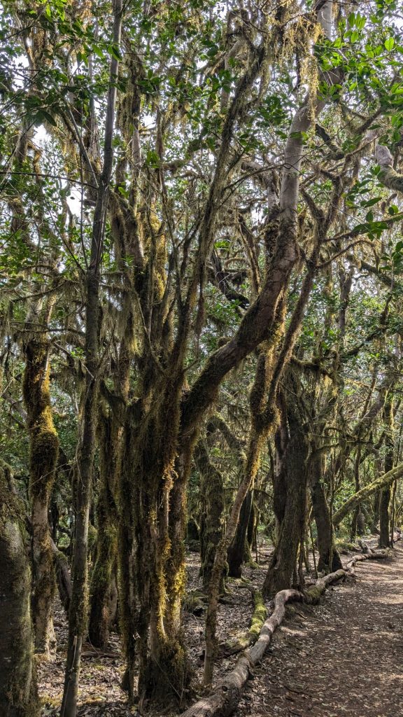
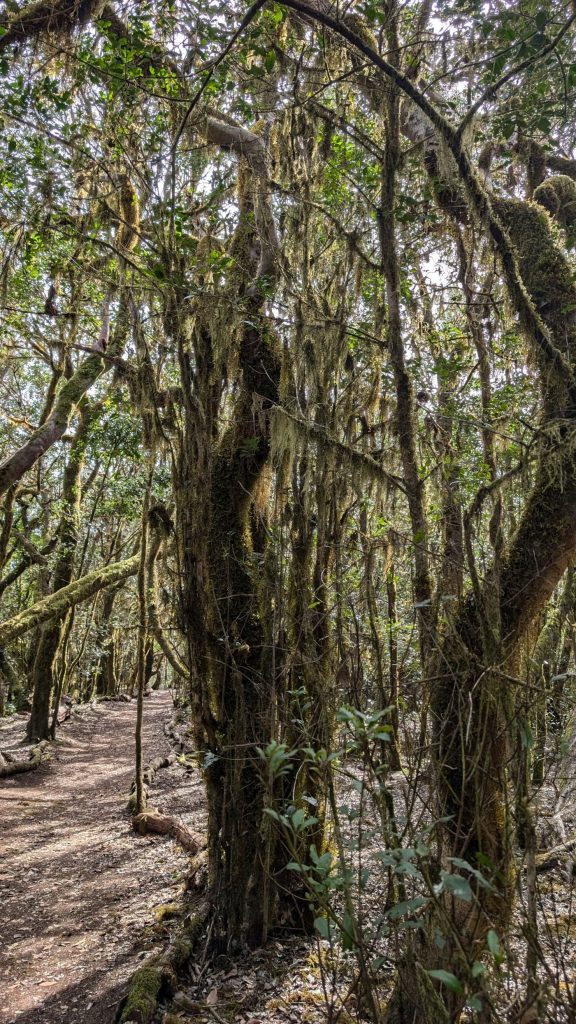
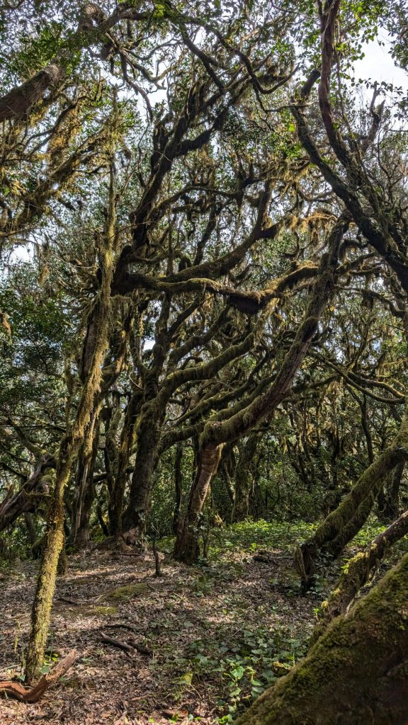
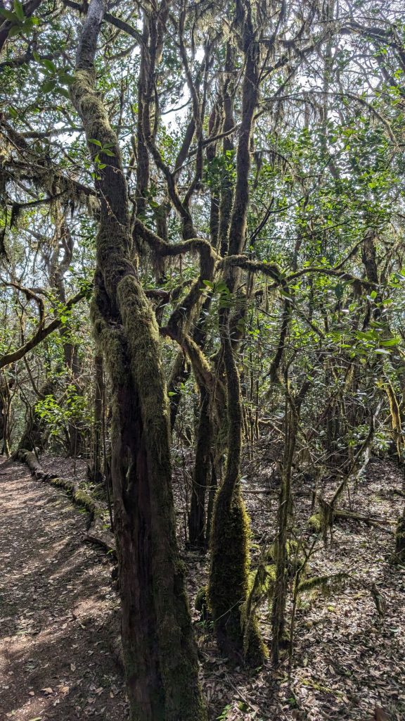
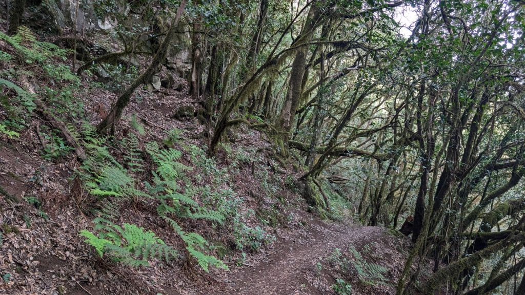
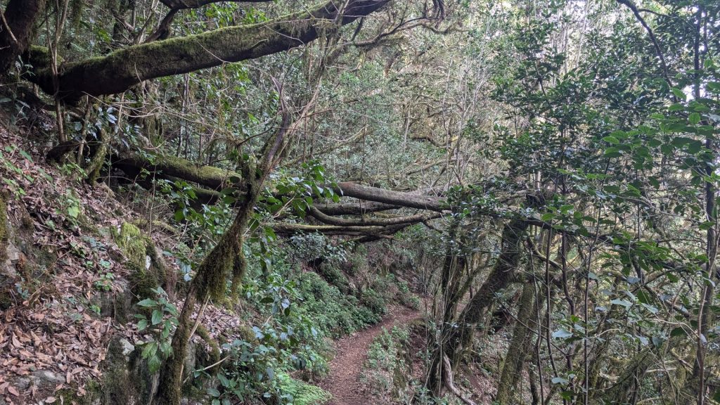
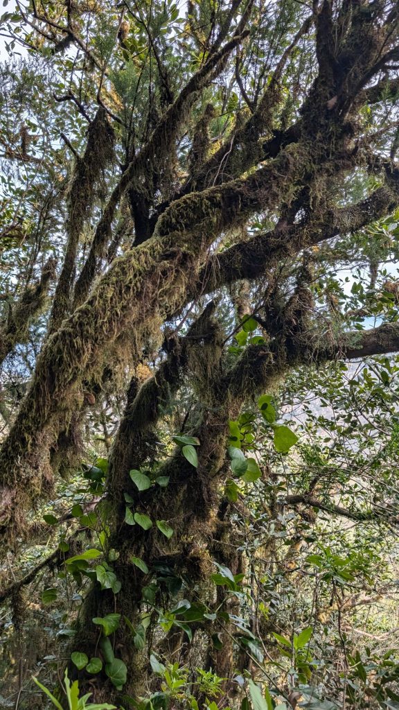
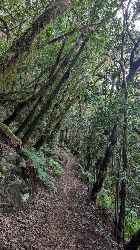
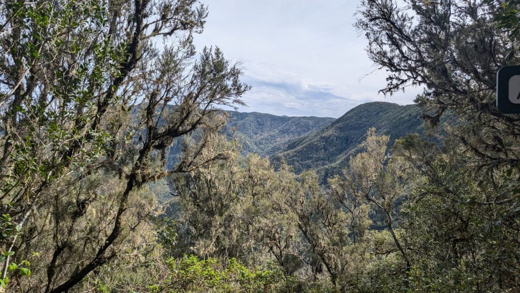
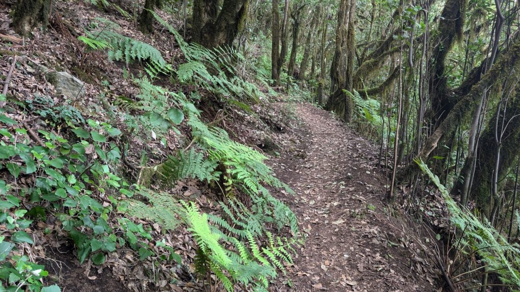
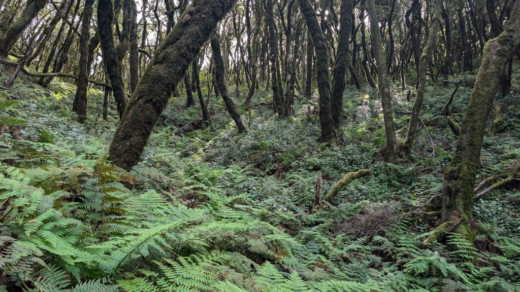
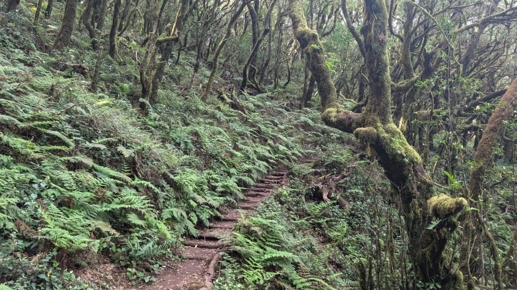
Today was a day for hiking. I hiked two trails. Michael hiked one of them with me. Both were pretty (of course!) and both were exceptionally green. They start at about the same point (one is across the road from the other) and – happily – the trailheads were only about six miles from our hotel.
The trails are in Garajonay National Park. This ancient forest covers over a third of the island and is home to thousands of species of fauna and flora, with misty laurel trees being the predominant feature. The park gets its name from the myth “Gara and Jonay,” the Canarian version of Romeo and Juliet. According to the legend, Gara from La Gomera and Jonay from Tenerife ran away to the island’s highest point but ended up jumping to their deaths.
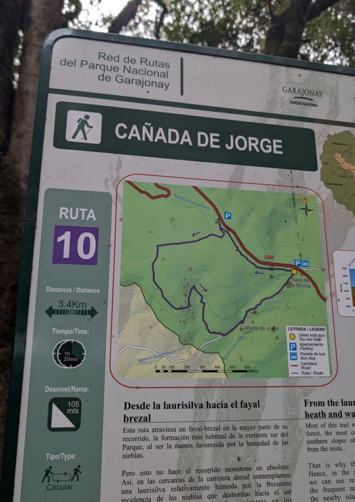
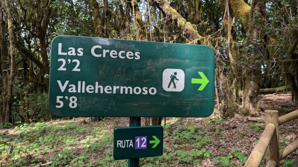
We chose a couple of easy routes: the Los Risquillos de Corgo-Raso de la Bruma and the Cañada de Jorge route. These are routes 12 and 10, which are both very easy to do in a single day.
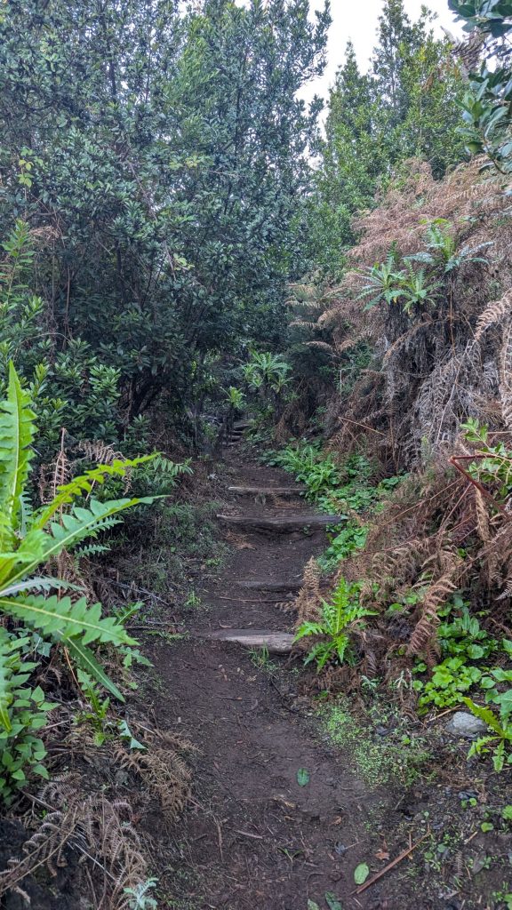
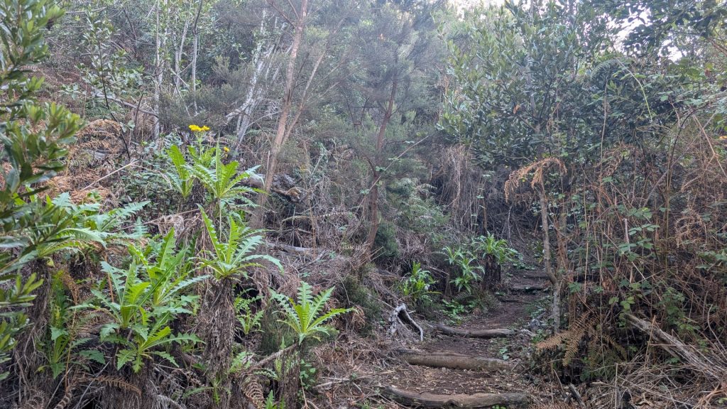
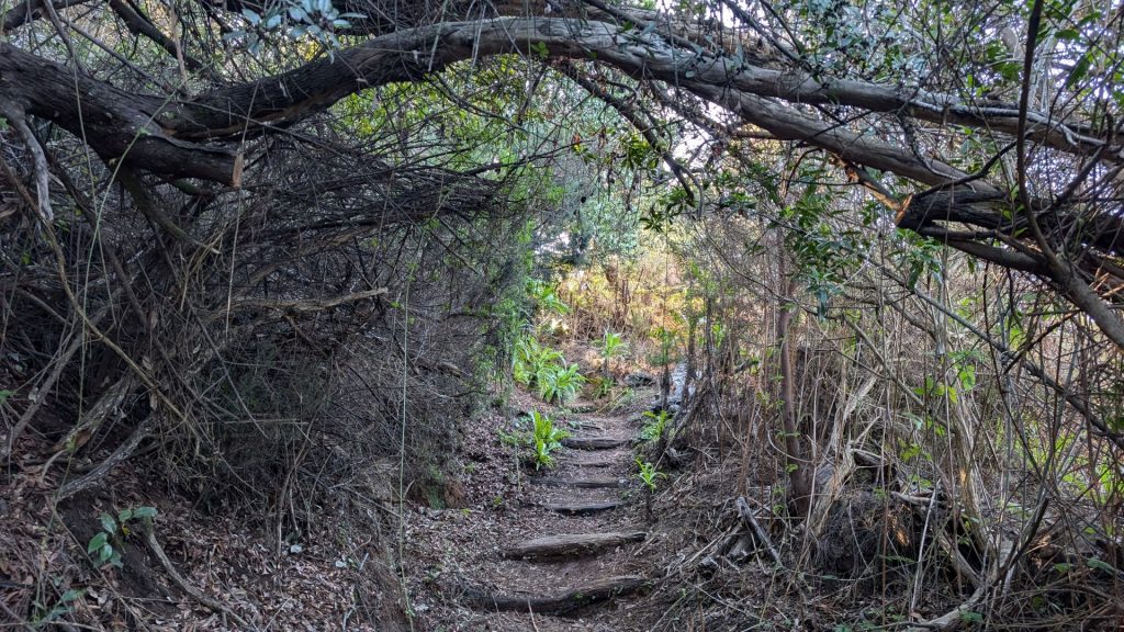
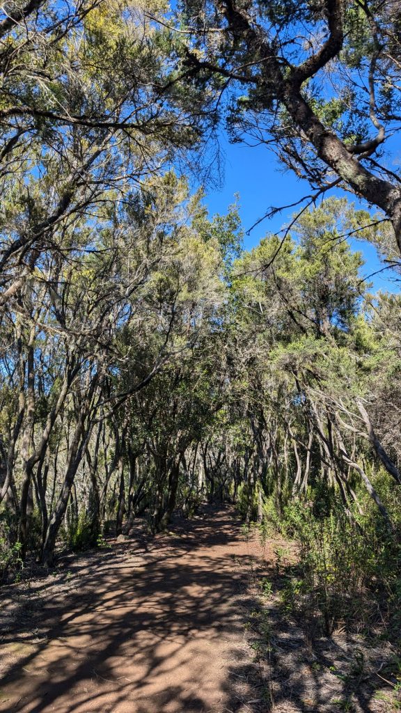
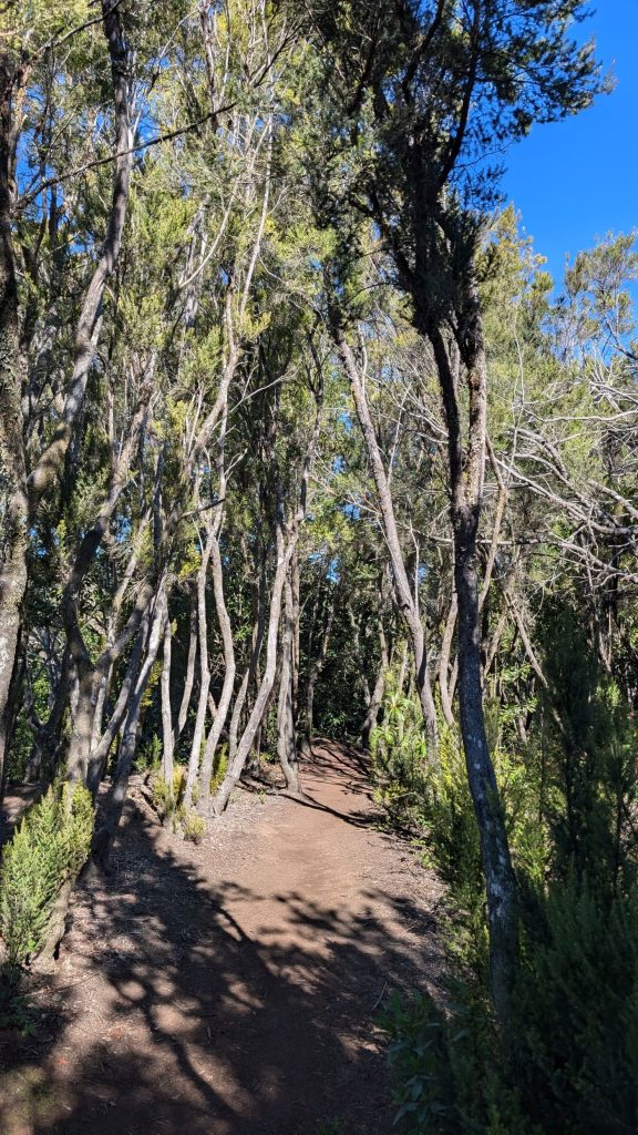
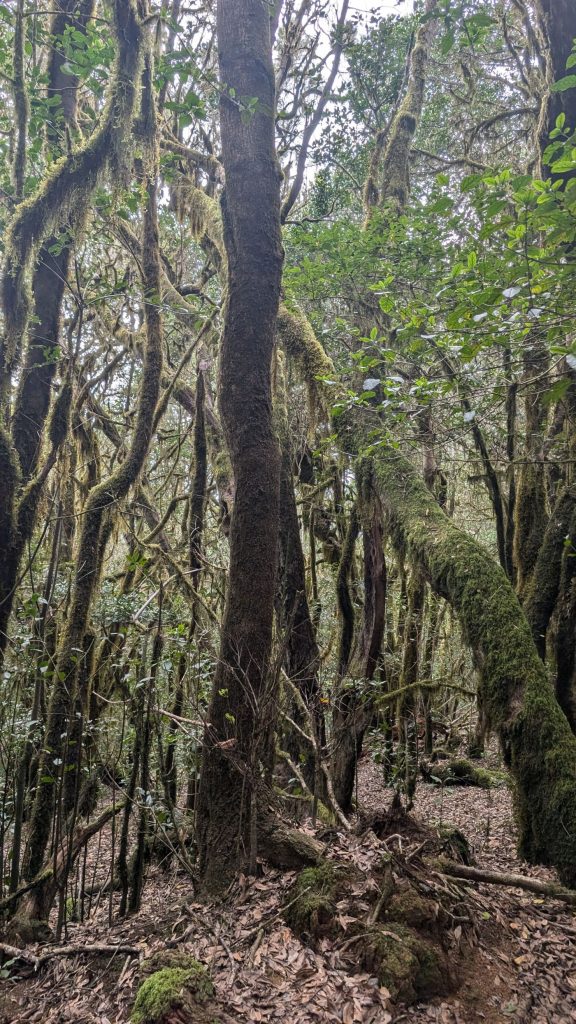
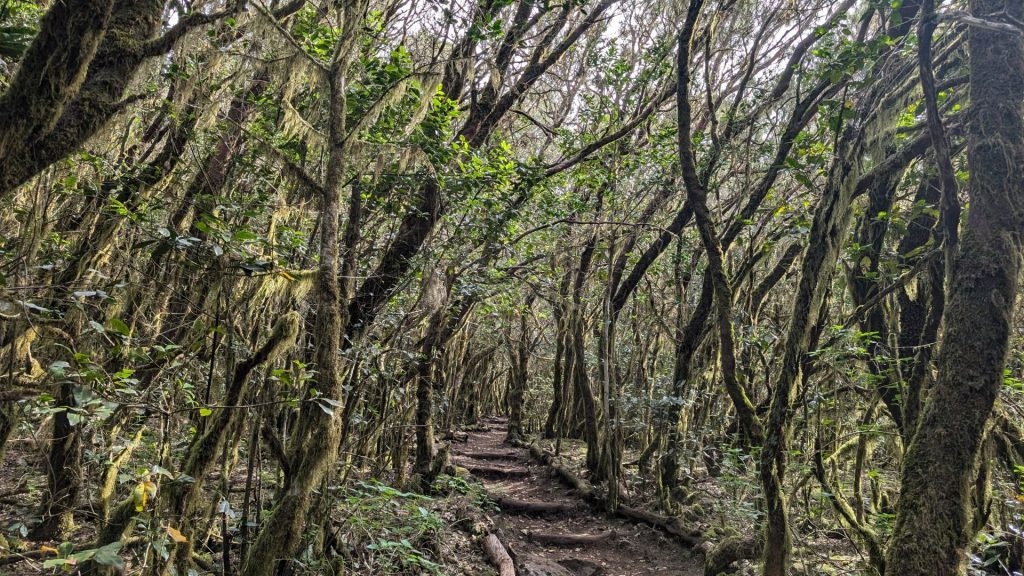
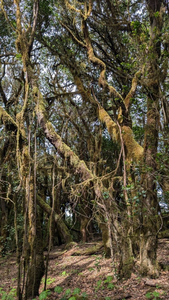
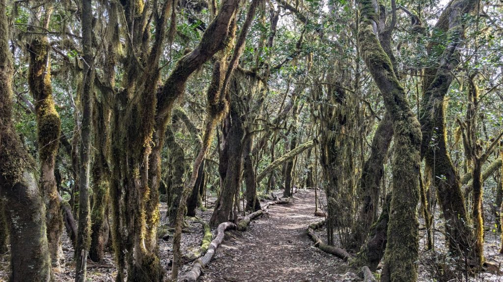
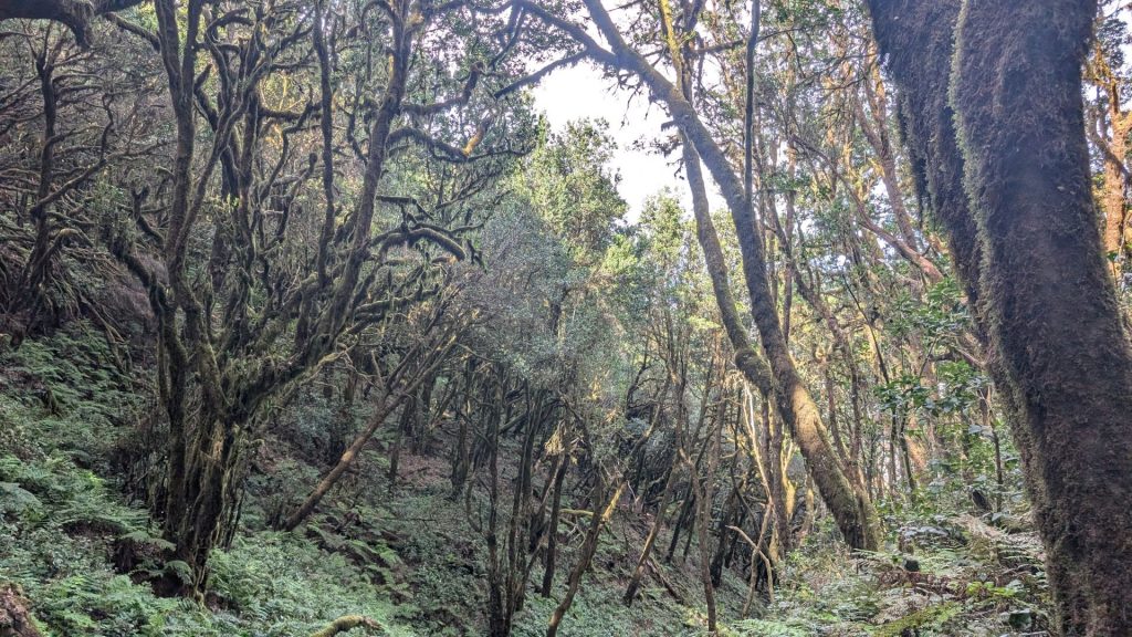
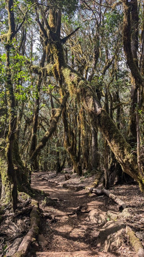
Description: The routes pass through the middle of laurisilva and fayal-brezal forests, inviting the traveler to discover a place that gives the impression you are in an enchanted forest. On route 12 you can enjoy a landscape that is often touched by fog (we didn’t see any fog), which only adds to its charm, imbuing the forest with a touch of mystery, along with its ferns and tree trunks covered in moss. Once you reach Raso de la Bruma, you can join route 10, Cañada de Jorge. This path takes you through a fayal-brezal forest that is somewhat drier as there is not as much fog. The ravine is in the Cañada de Jorge area.
Ruta 10 Cañada de Jorge
Stats and Map:
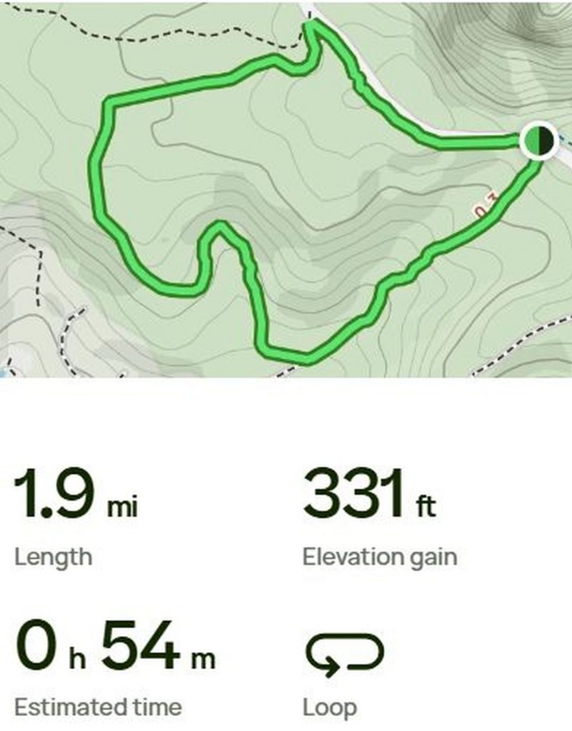
Route 12 Raso la Bruma – Risquillos de Cordo
Stats and Map:
Most of the pictures from the two trails look alike because the terrain was similar. Again, I kind of overdid it with the pictures (what, me?), so feel free to speed-scroll through them.
Ruta 10 Cañada de Jorge
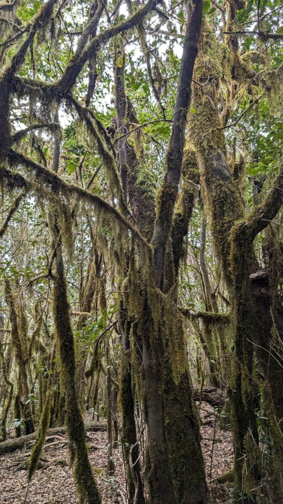
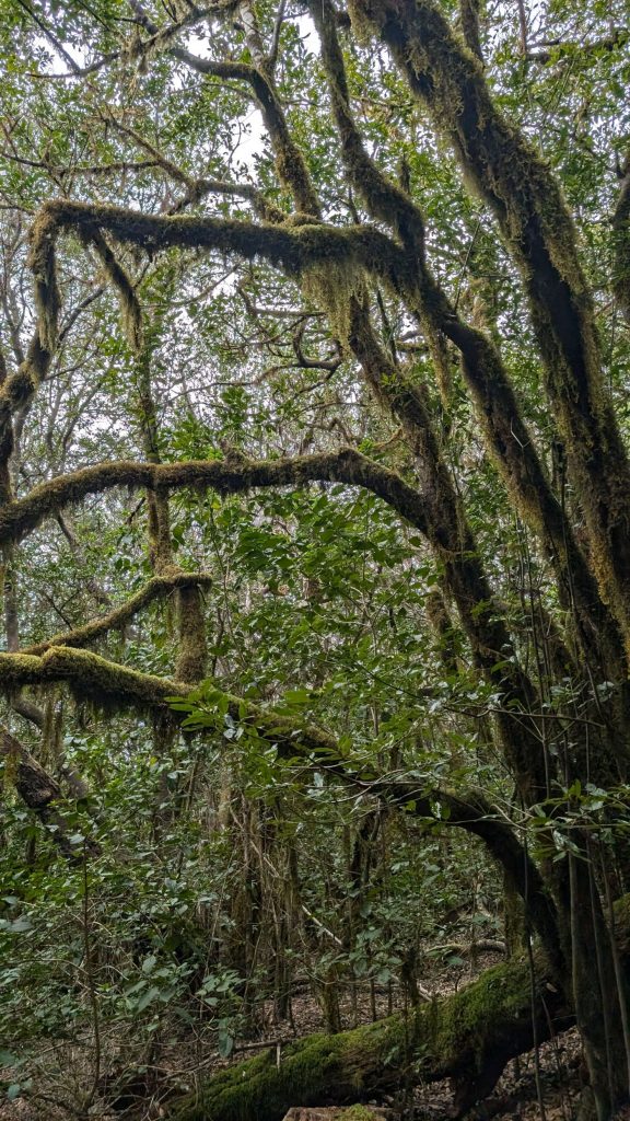
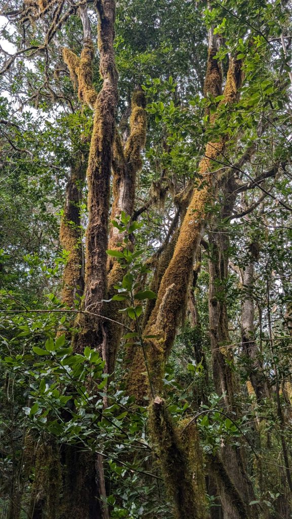
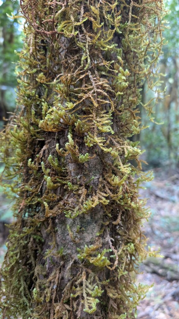
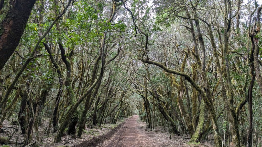
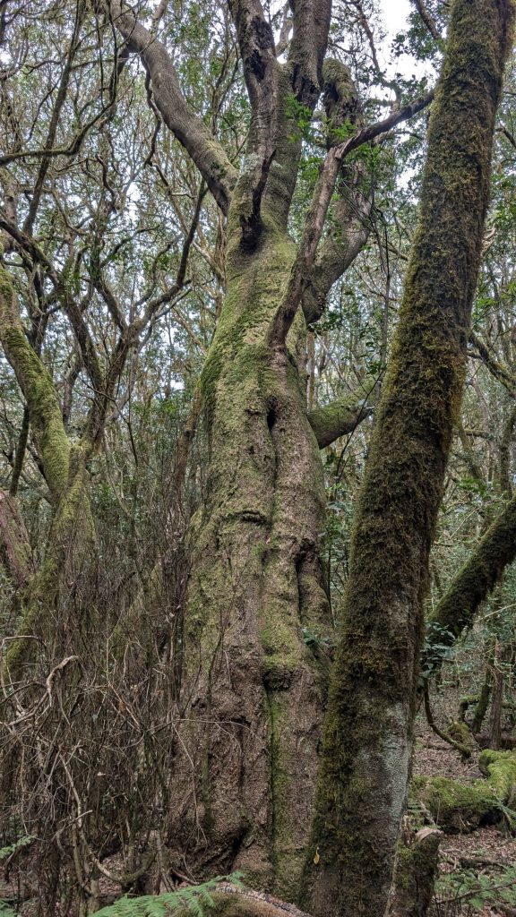
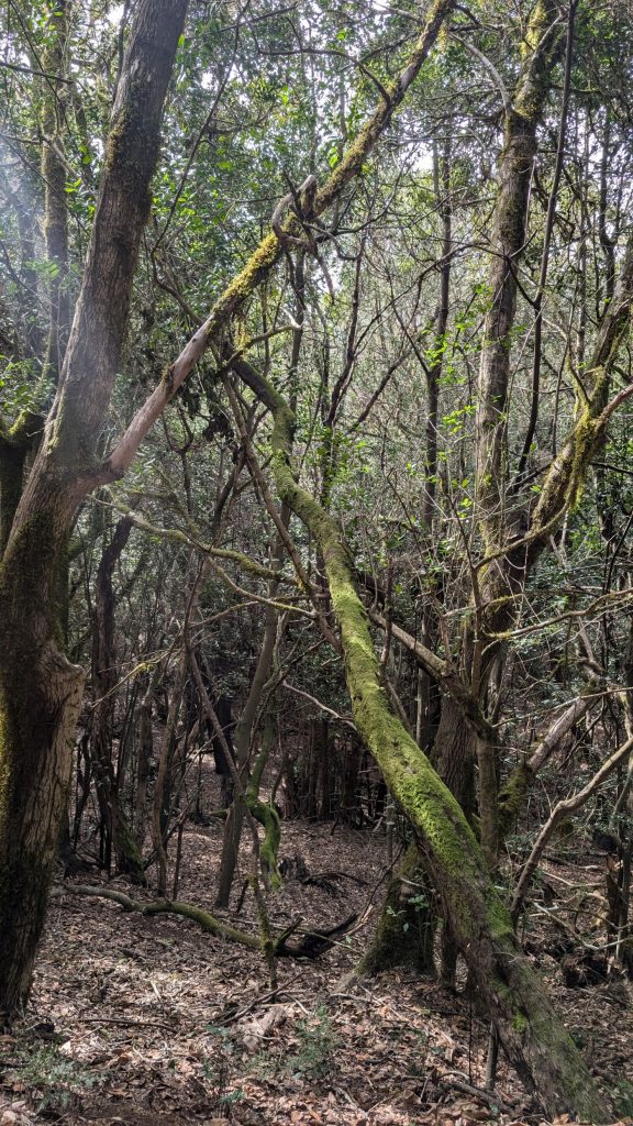
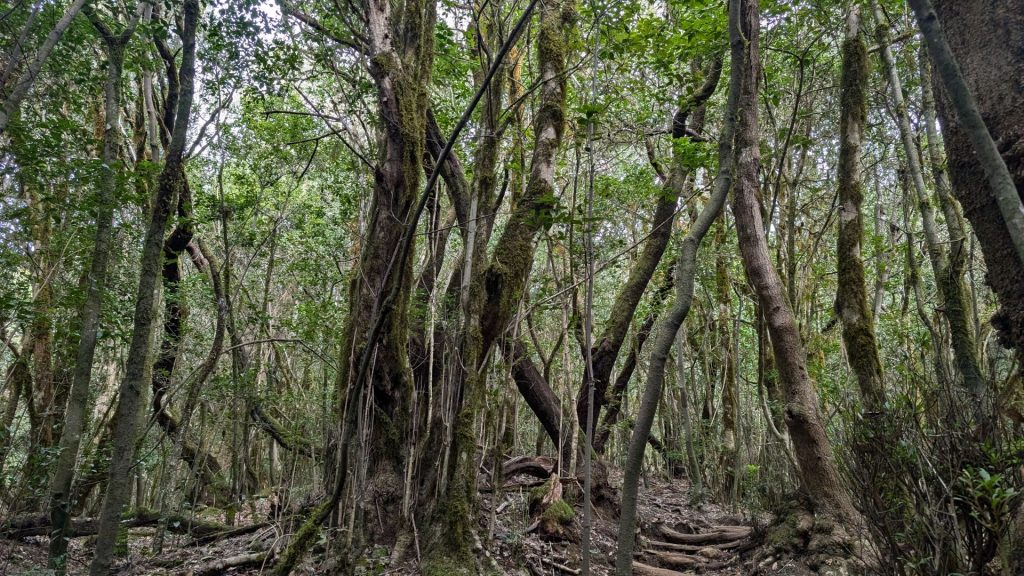
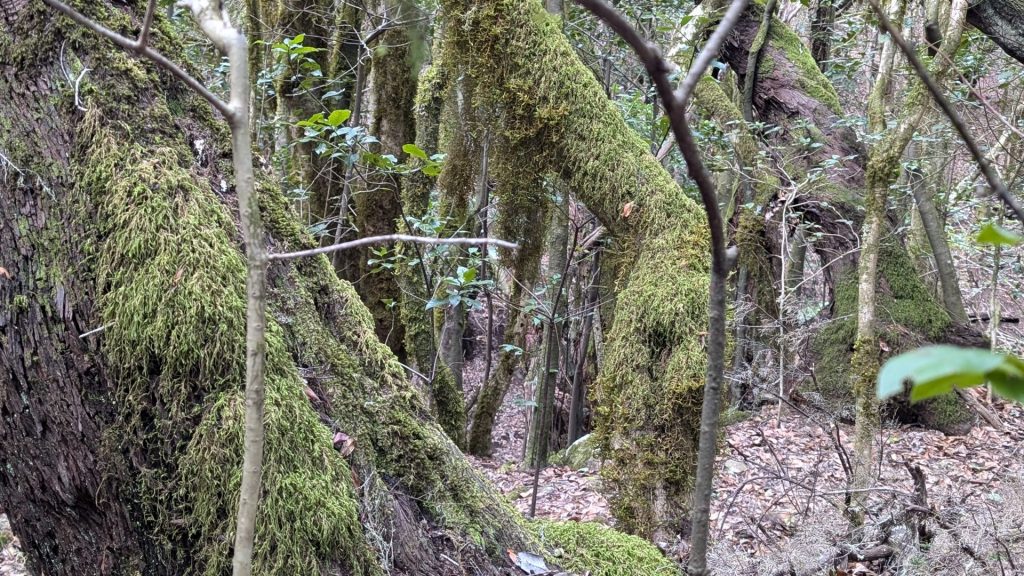
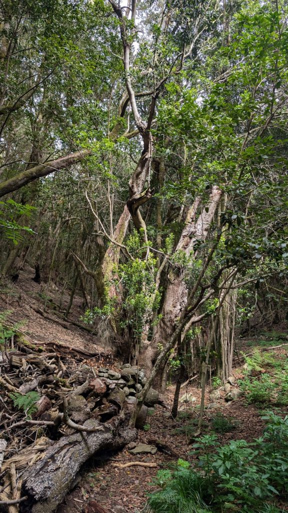
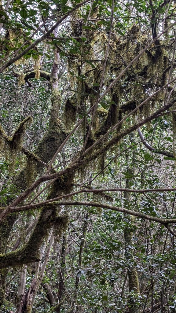
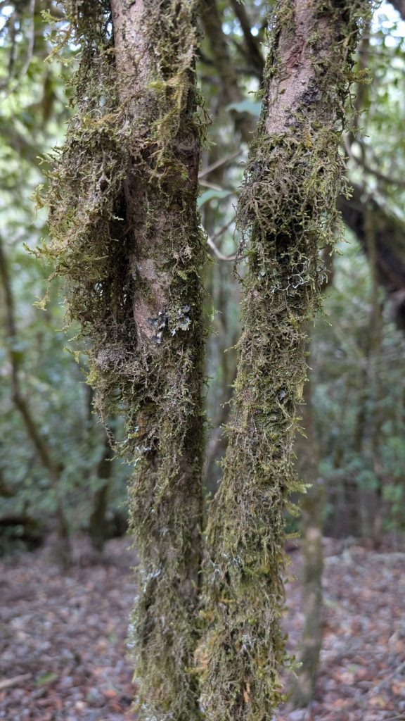
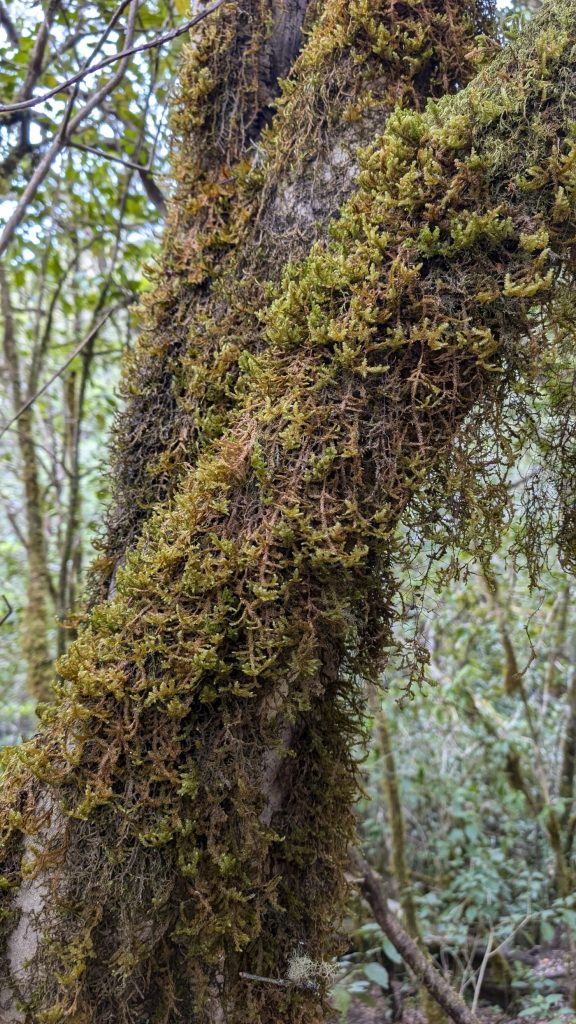
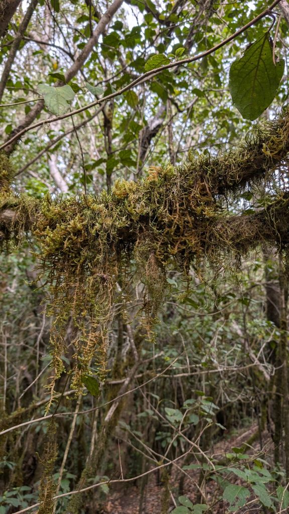
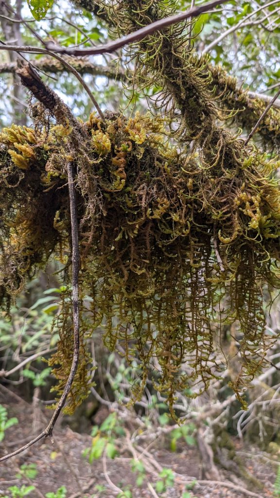
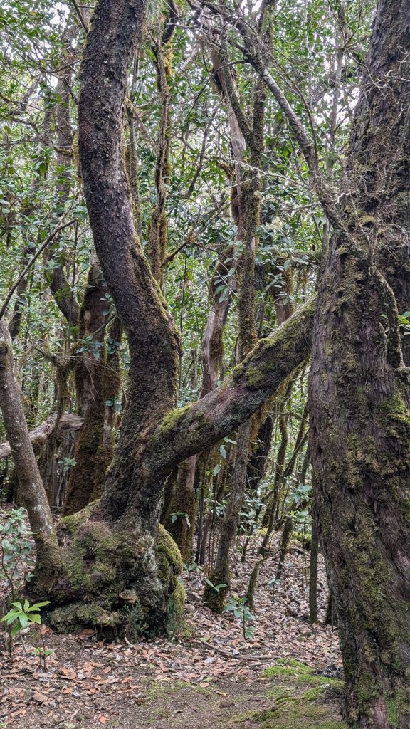
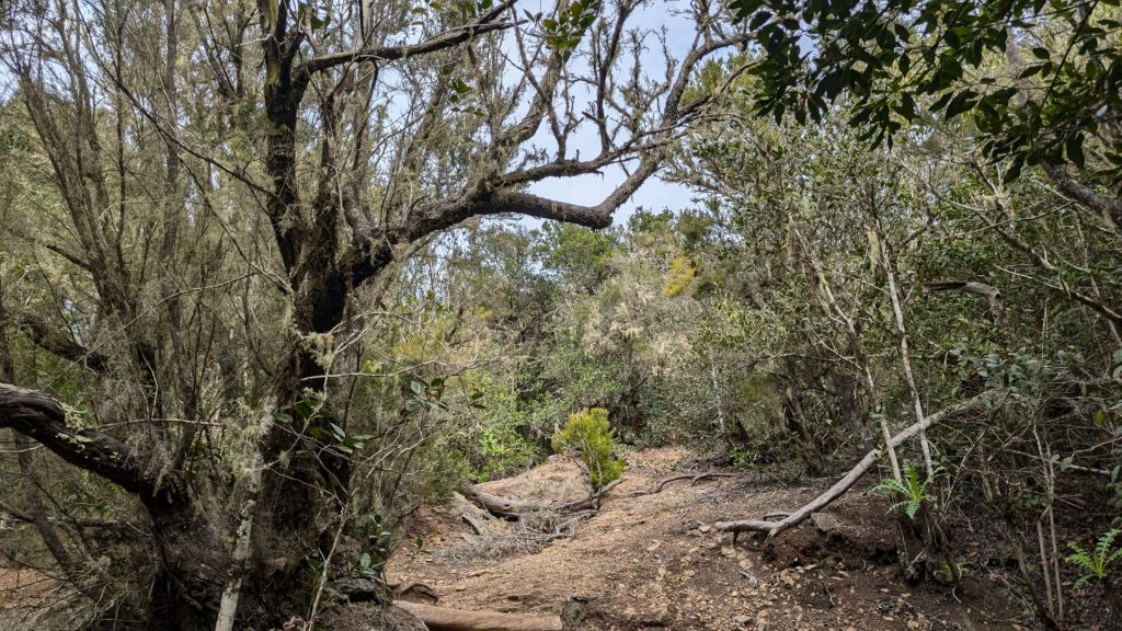
Route 12 Raso la Bruma – Risquillos de Cordo
November 8:
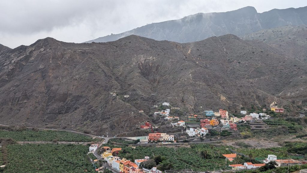
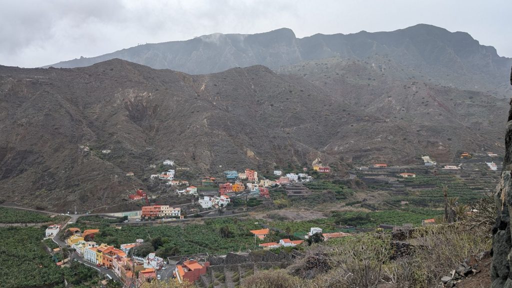
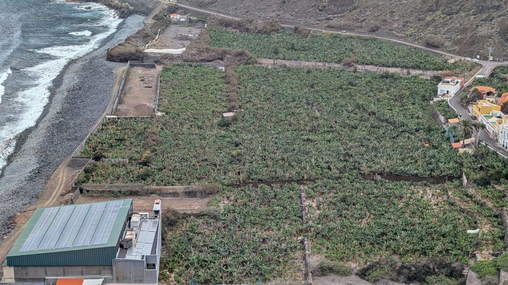
We gradually made our way to a hotel near the ferry dock since we were catching a 7:00 a.m. ferry to La Palma the next day. We enjoyed the views and the stops.
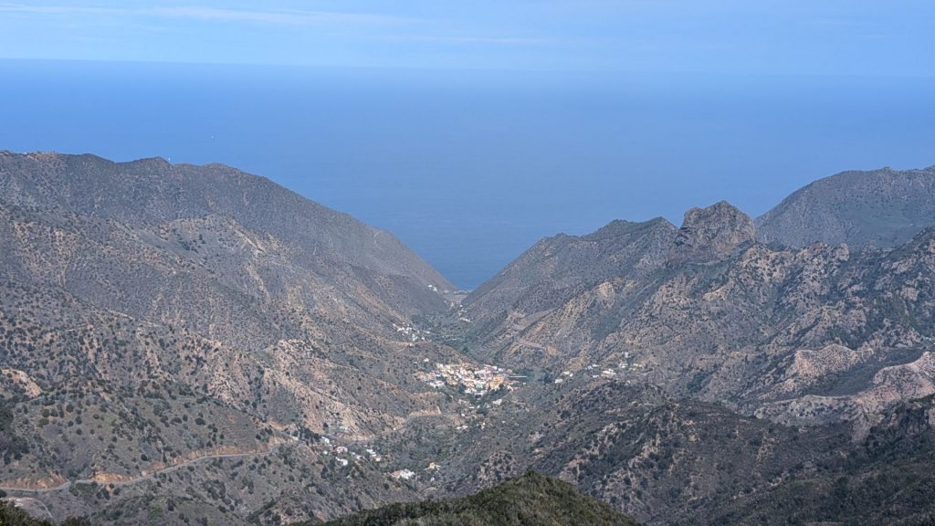
We just drove by the first thing we saw: Roque Cano
Roque Cano is the dominant landscape landmark in the Vallehermoso basin. This is a huge phonolitic chimney of more than 200 meters high, with almost vertical walls, a biogenetic sanctuary of high value, as it houses an important representation of rock flora, where there is no lack of threatened elements such as magarza gomera (Argyranthemum callichrysum), faro gomero (Gonospermum gomerae), ruda gomera (Ruta microcarpa) and a dozen unique and very rare species such as Senecio hermosae.
You will see a couple of pictures of it below. The first picture on the left-hand side below includes Roque Cano – it is the bare rock on the right side of the picture.
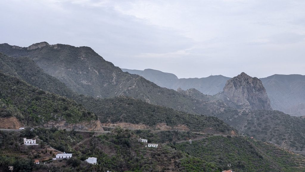
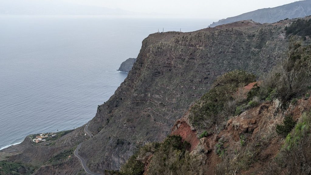
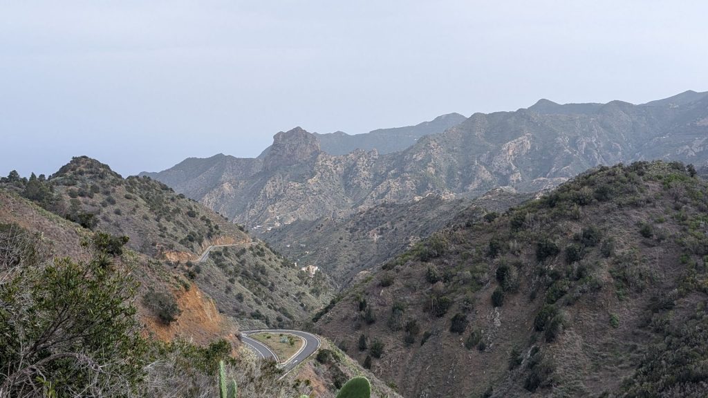
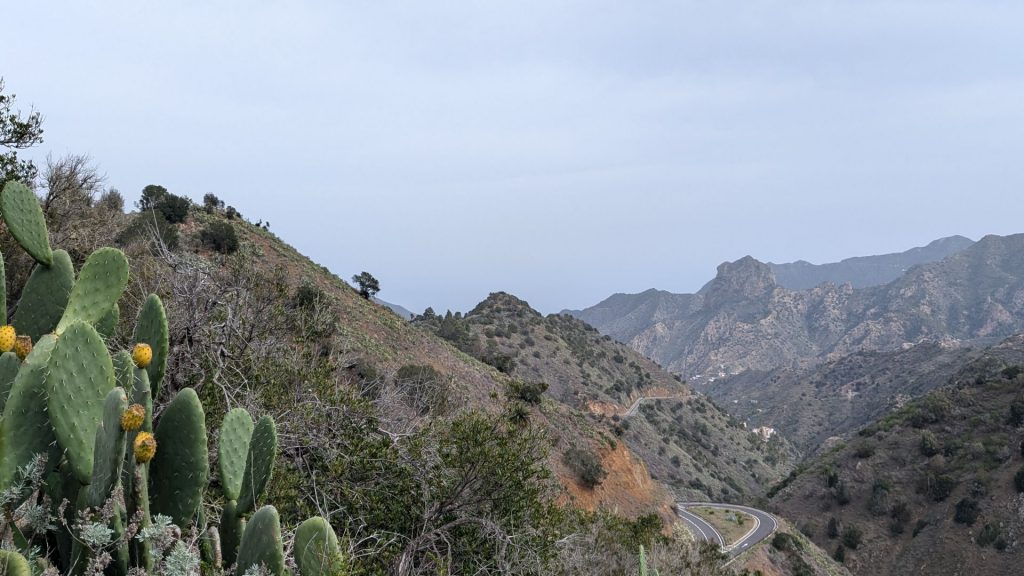
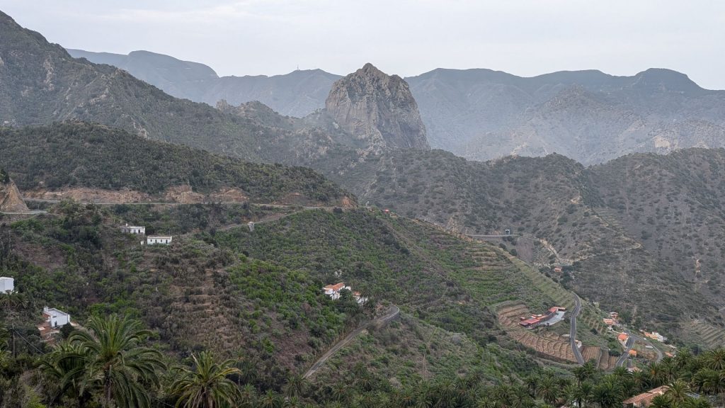
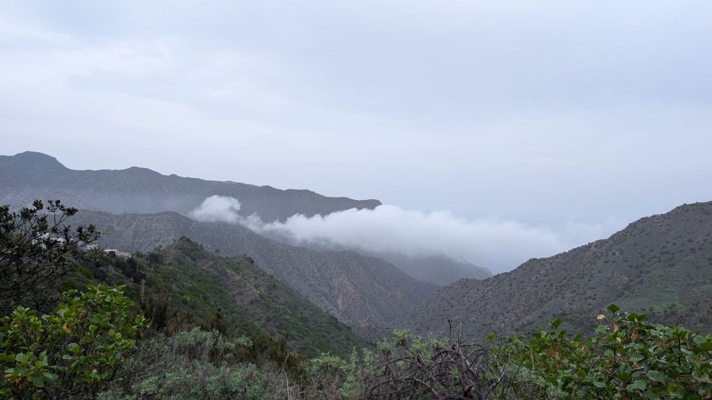
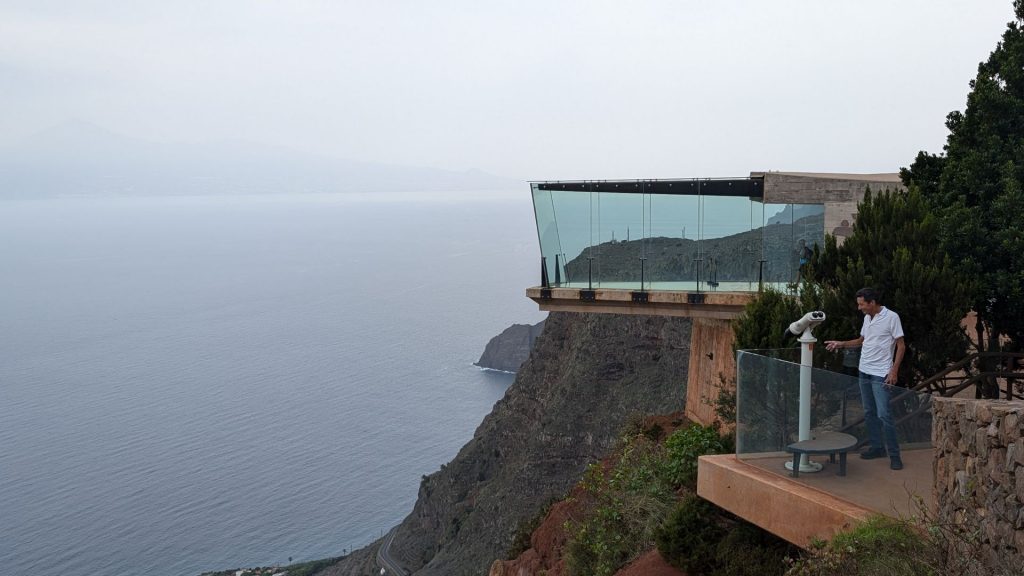
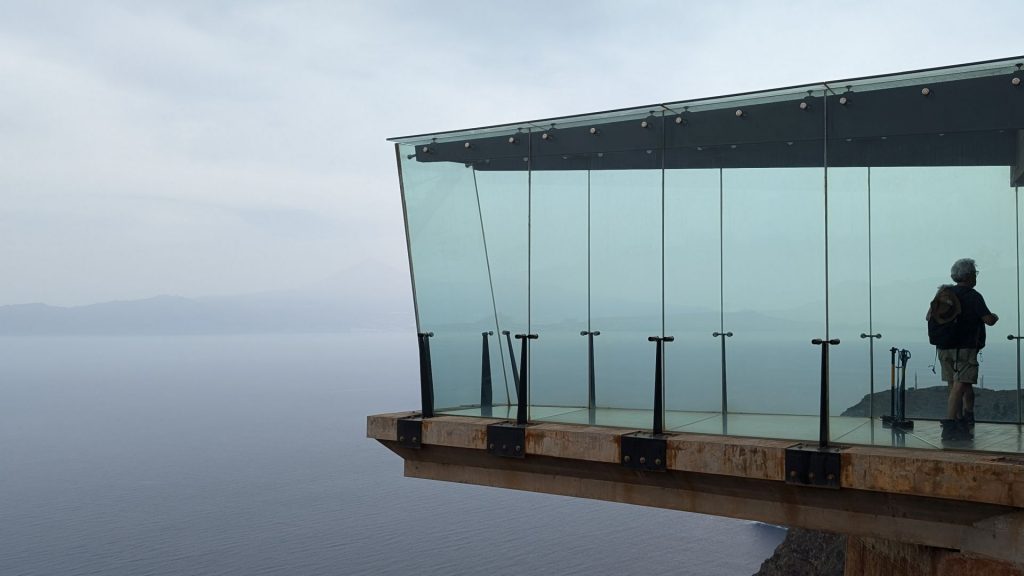
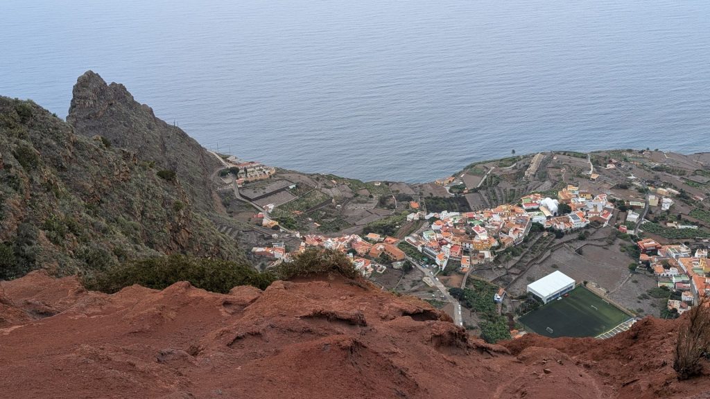
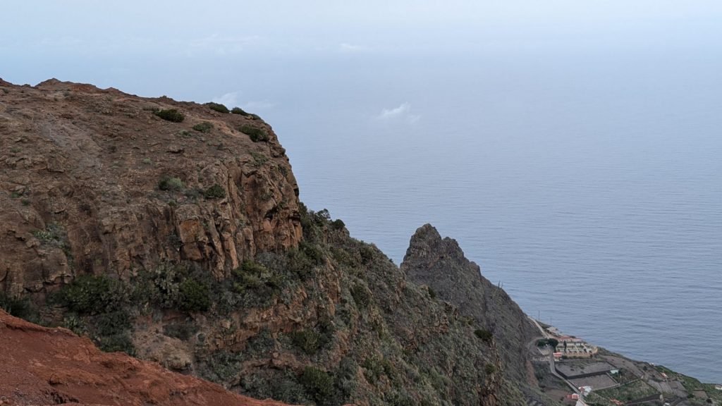
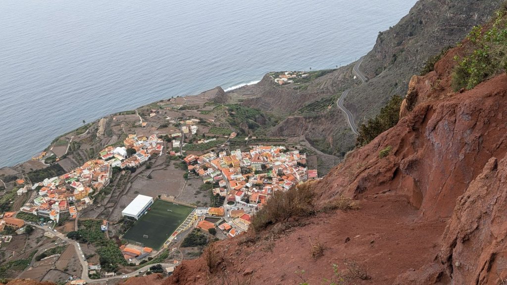
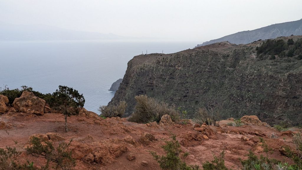
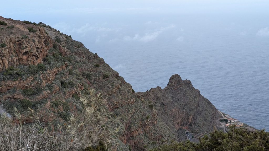
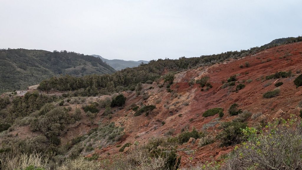
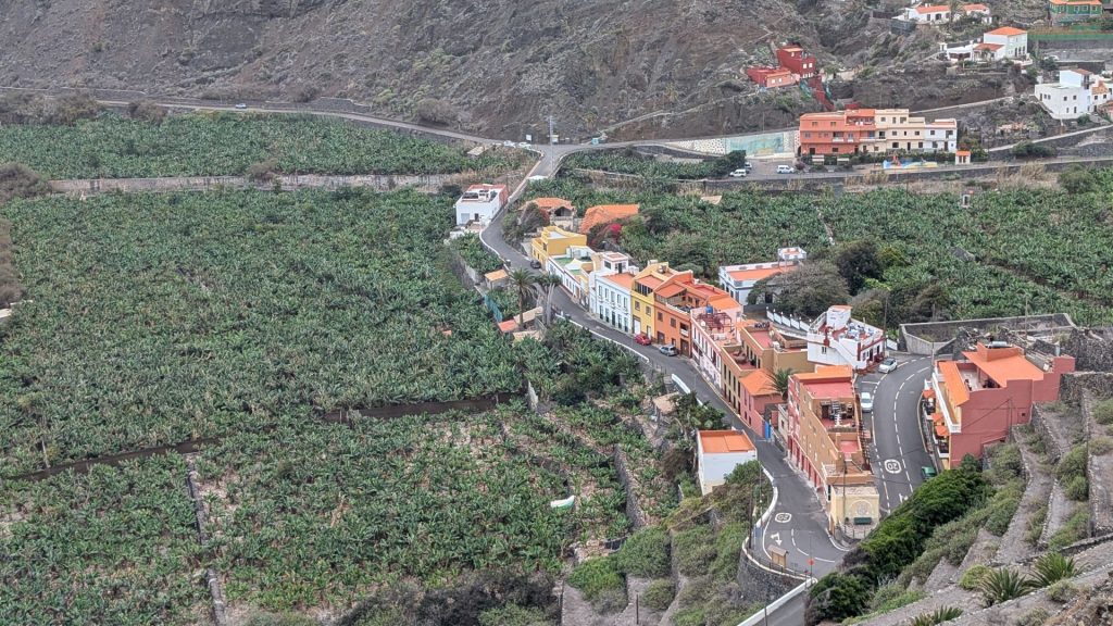
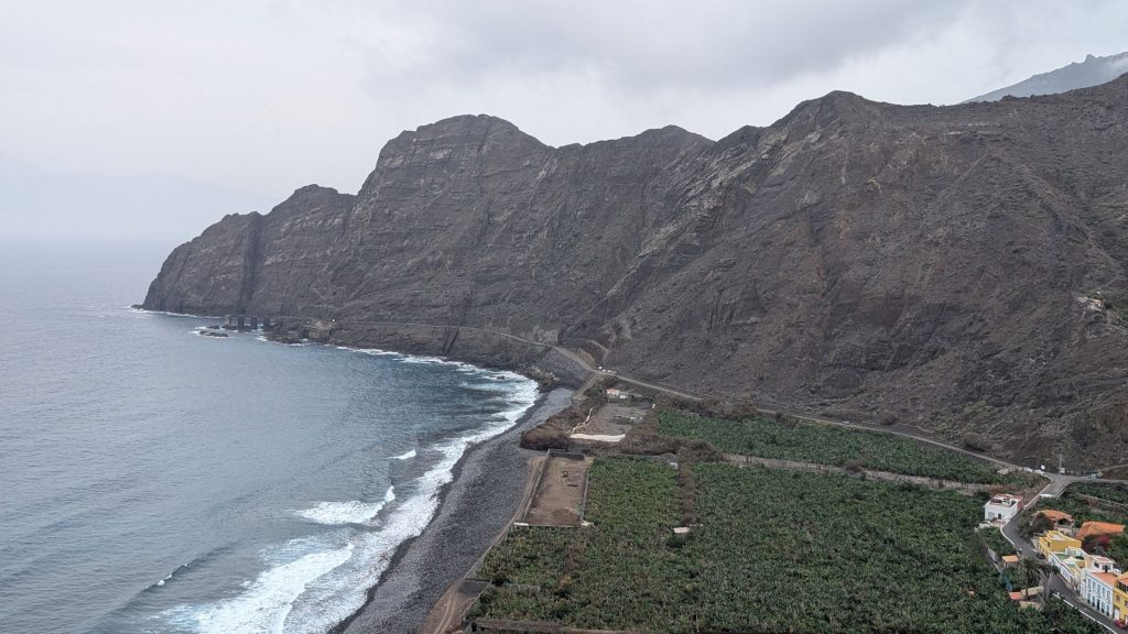
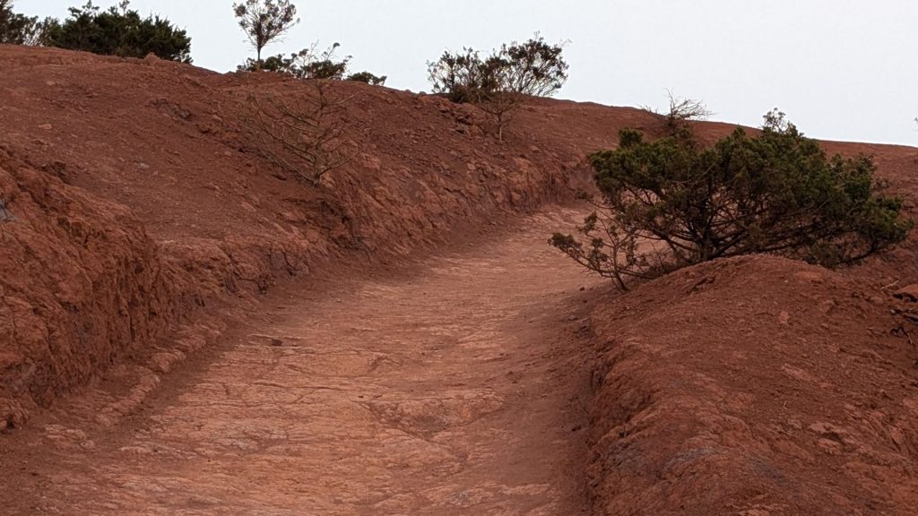
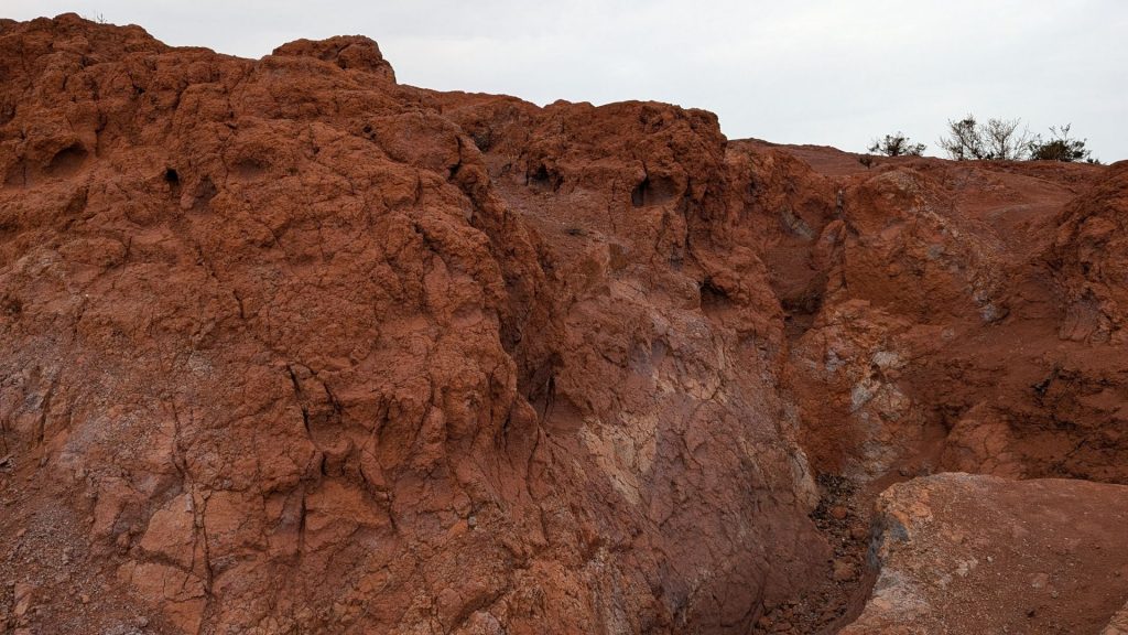
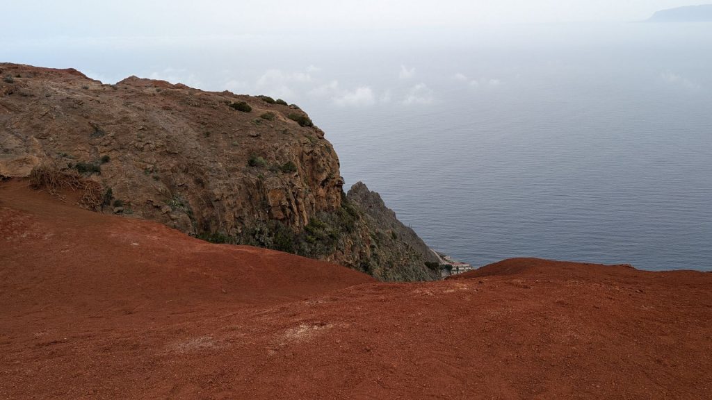
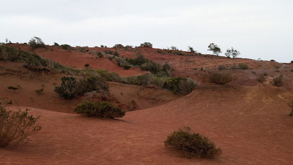
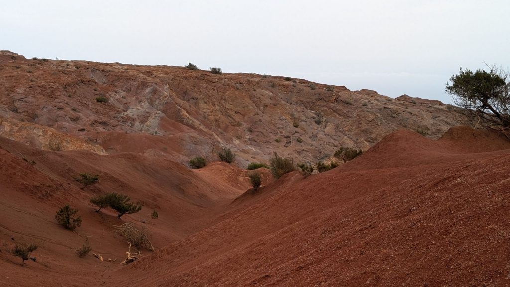
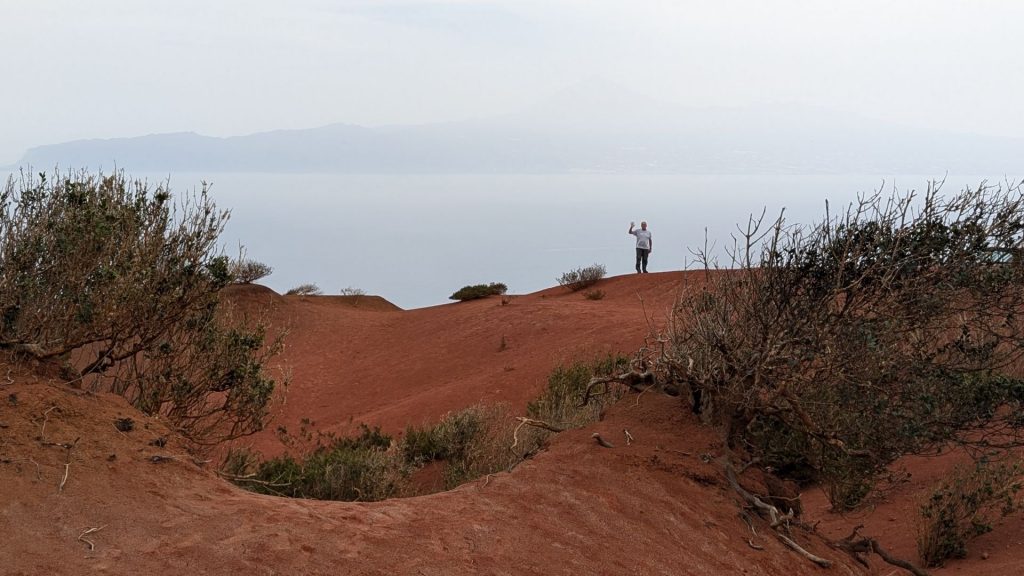
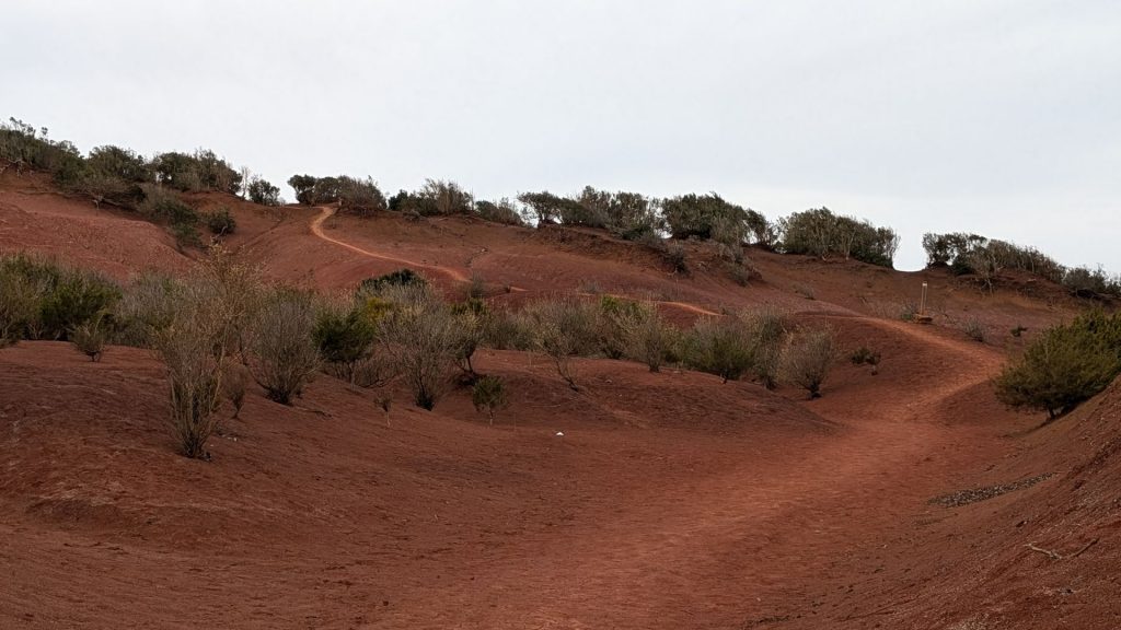
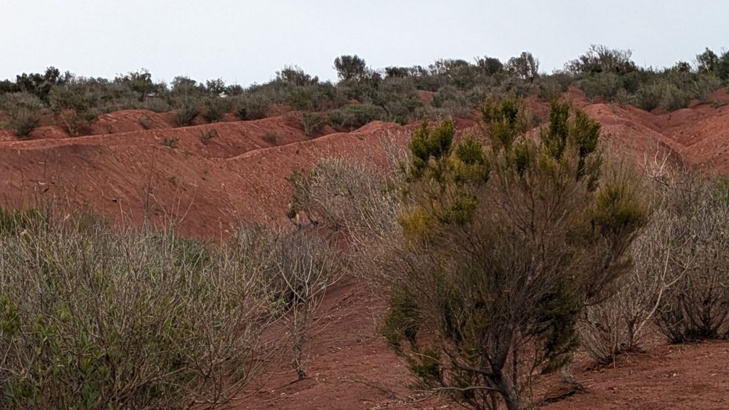
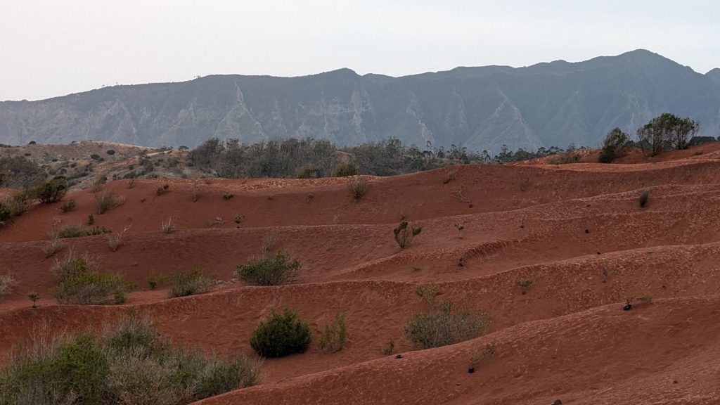
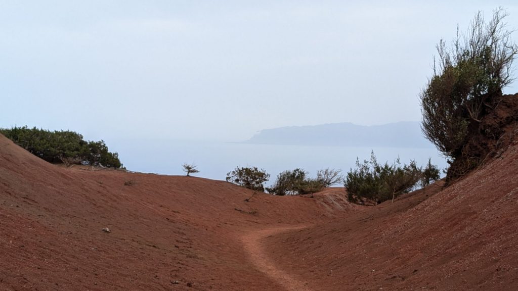
We stopped at Mirador de Abrante, a viewpoint that includes a red dirt area behind it that I liked as much as the views. The glass skywalk stands 625 meters above sea level.
We will see you in La Palma in the next post!
